Después del intento fustrado al Montarto (2.833 m.) debía infligirme un severo castigo una "palizilla" para estimularme así la ruta elegida es una circular partiendo desde Vielha al Montcorbison y Letassi para bajar por el sur enlazando por la pista forestal, una actividad fácil y gratificante pero moderada por su distancia, que en un verano me costó cerca de 5 horas, hoy con gran parte del trayecto nevado lo voy a intentar con raquetas, crampones y llegado el caso si se tercia utilizaré el piolet.
Queda maquillar varias alguna fotografía, apuntar algún detalle y bye, bye, bye me marcho de vacaciones... (en verdad me voy a tratar de una antigua lesión, el galeno entre prueba y diagnóstico me manda reposo, je, je ya veremos).
OBSERVACIONES Y CURIOSIDADES :
Queda maquillar varias alguna fotografía, apuntar algún detalle y bye, bye, bye me marcho de vacaciones... (en verdad me voy a tratar de una antigua lesión, el galeno entre prueba y diagnóstico me manda reposo, je, je ya veremos).
OBSERVACIONES Y CURIOSIDADES :
Telefonía móvil: Tramos sin cobertura Movistar.
Fotografía: Instantáneas capturadas con una cámara digital Canon Ixus 210.
Fotografía: Instantáneas capturadas con una cámara digital Canon Ixus 210.
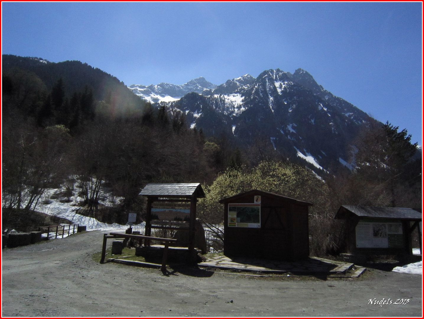
DATOS TÉCNICOS: REFERENCIA: Mapa excursionista: Alpina Val d'Aran Escala 1:25.000
Actividad: Raquetas cerca de Vielha -Val d'Aran-, Catalunya(España)
Distancia recorrida: 13,900 kilómetros
Altitud min: 940 metros, max: 2.185 metros
Desnivel acum. subiendo: 1.255 metros, bajando: 1.255 metros
Grado de dificultad: Fácil
Tiempo: 6 horas 58 minutos
Fecha: 21 de abril de 2013
Finaliza en el punto de partida (circular): Sí
© nudels Tots els drets reservats
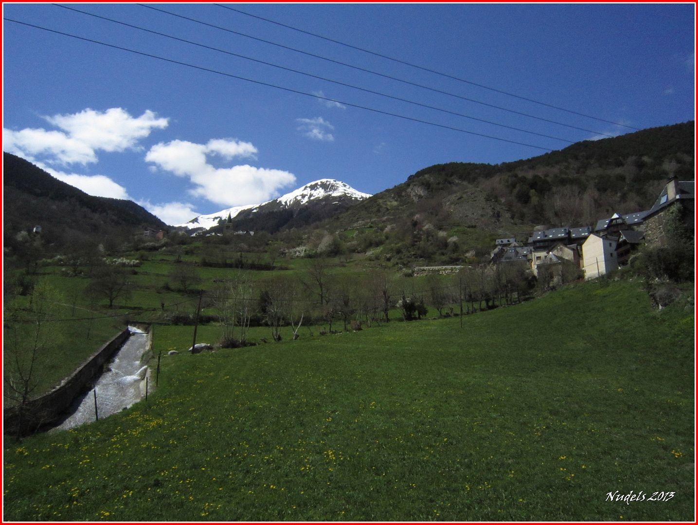
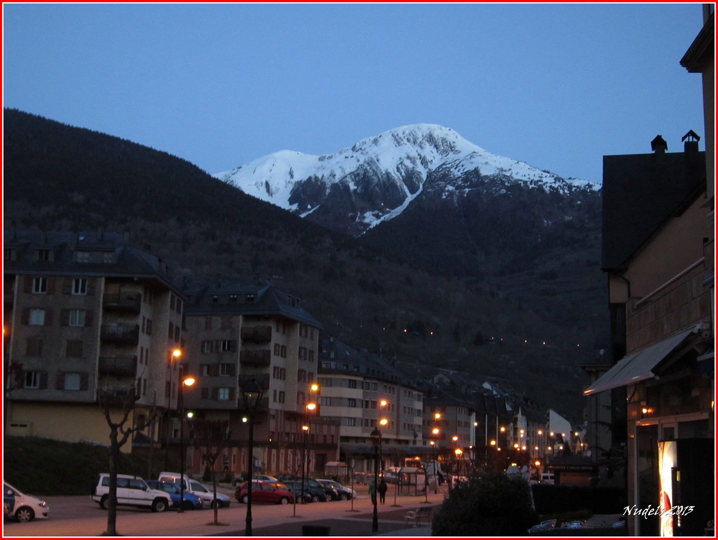
06h50: Estoy en Vielha (Val d'Aran) tomando un café con agua de fuego comienza el amanecer hacia el W (oeste) tengo mis dos objetivos del día me espera una larga vuelta que trataré de relatar en esta página...

07h09: Entre Vielha y Gausac estaciono el vehículo, voy a empezar desde aquí.

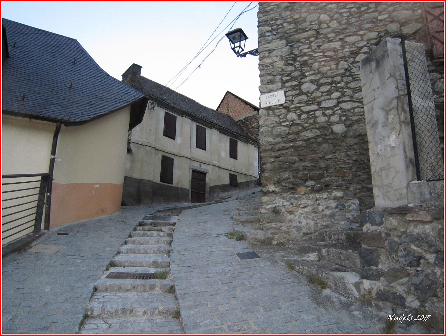
07h15: Algunas de la calles de Gausac están bien empinadas, llevo las raquetas colgadas en la mochila para cuando me tope con la nieve.

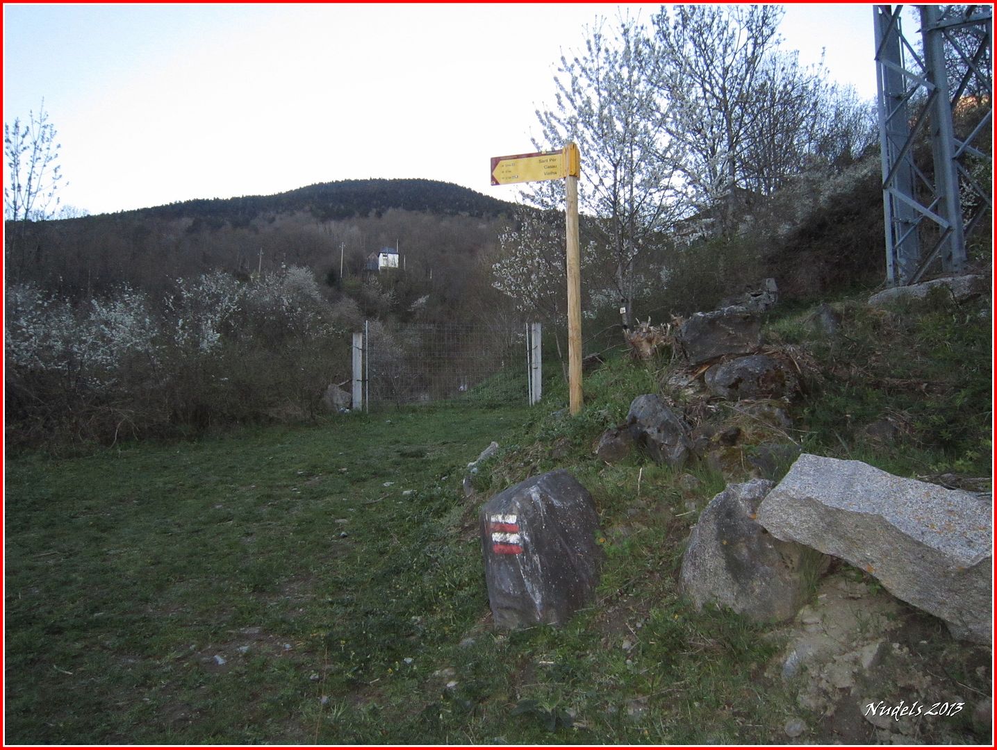
07h19: Salgo del pueblo y siguendo la señalización voy siempre subiendo al siguiente pueblo.

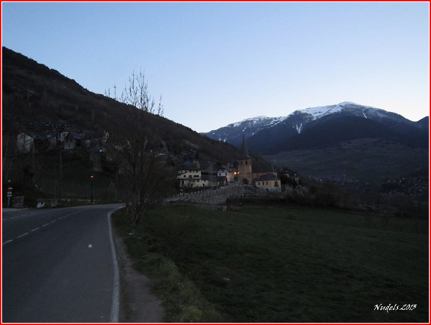
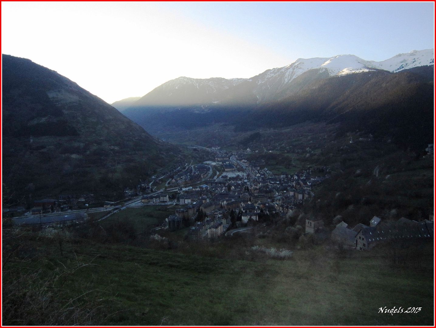
07h33: Una mirada hacia el Este, debajo Vielha.

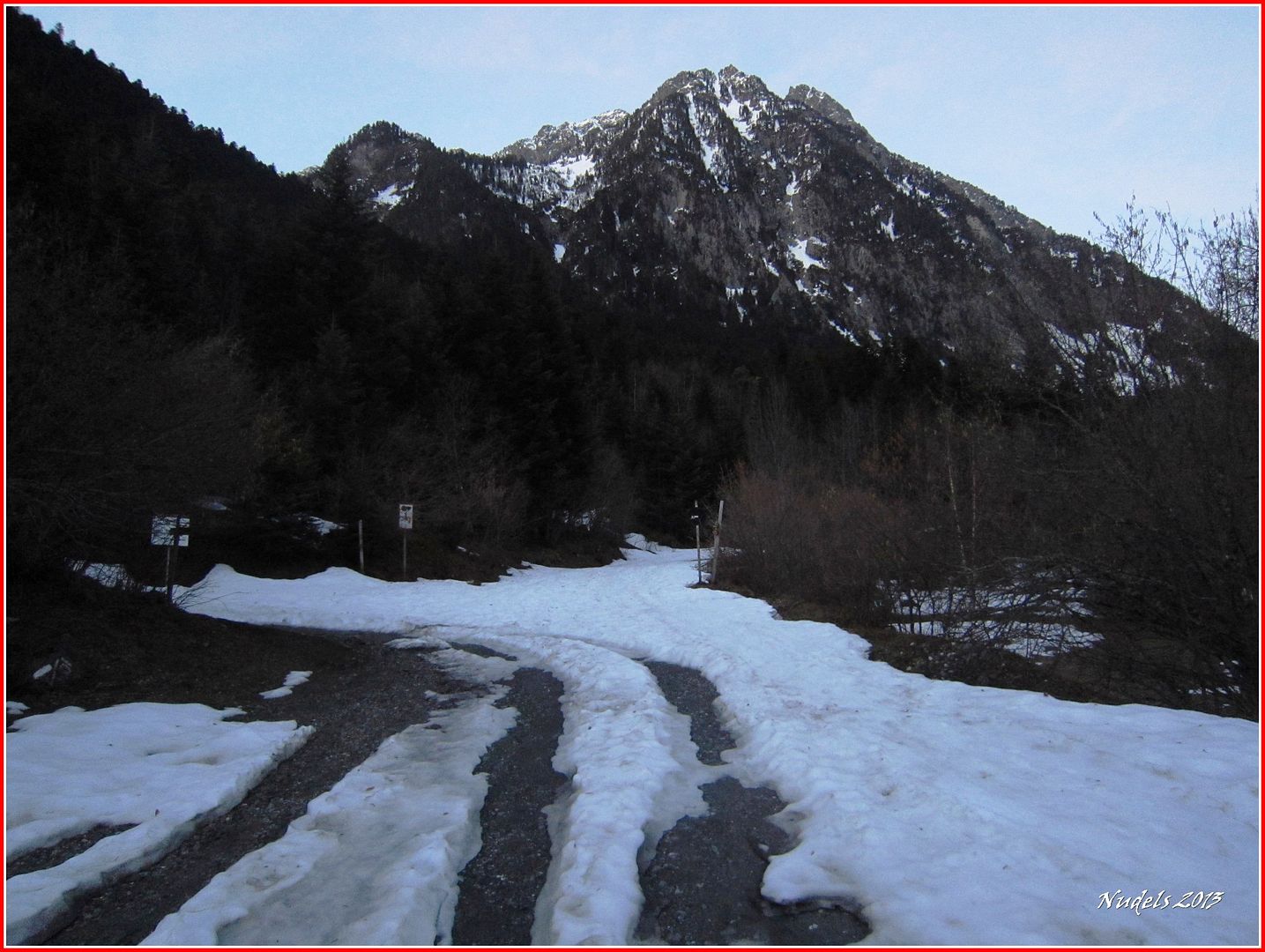
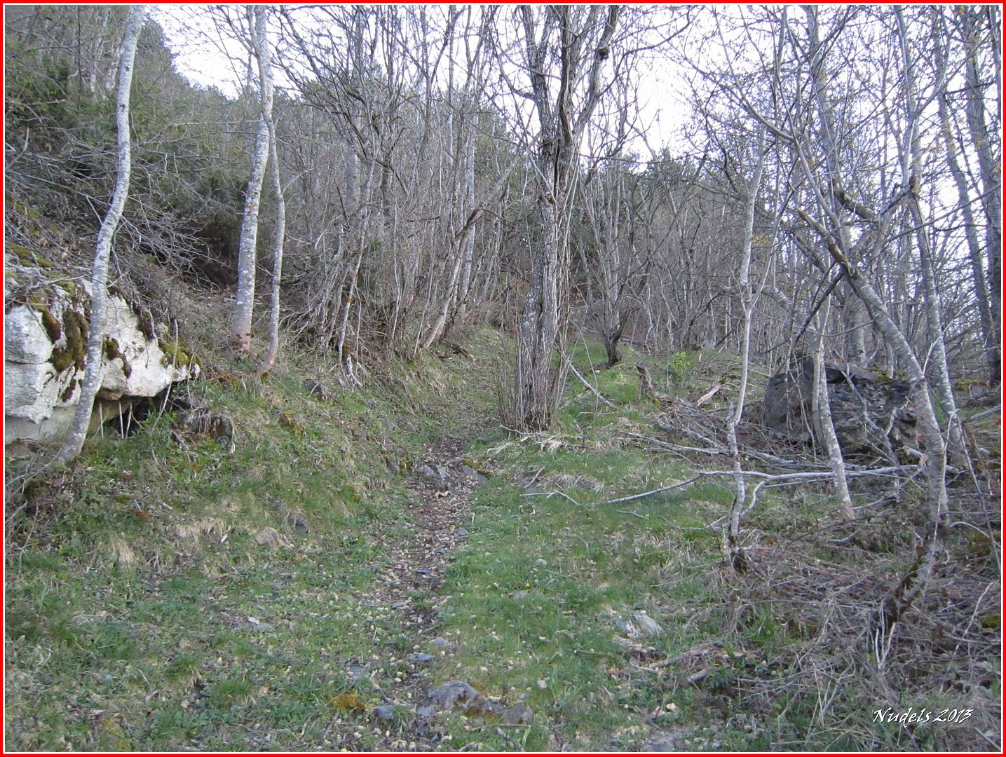
07h37: Una vez superado Casau sigo el itinerario para introducirme en el bosque.

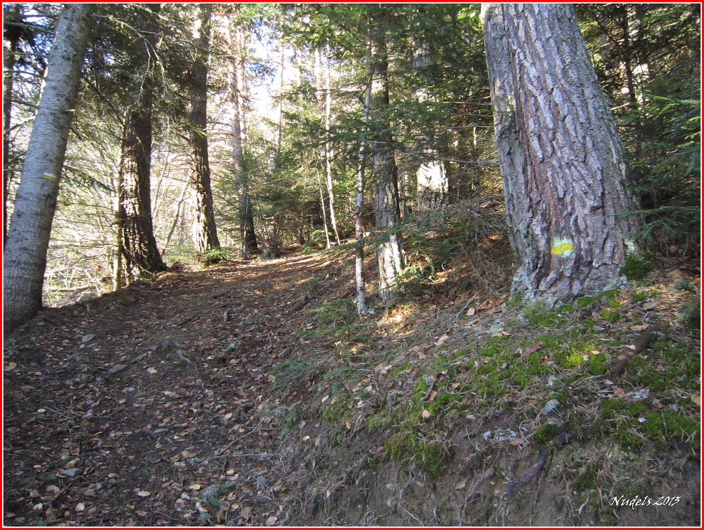
08h05: Después cruzar la carretera de la Balsa d'Oules otra vez en el bosque ahora siguiendo las marcas del PR.

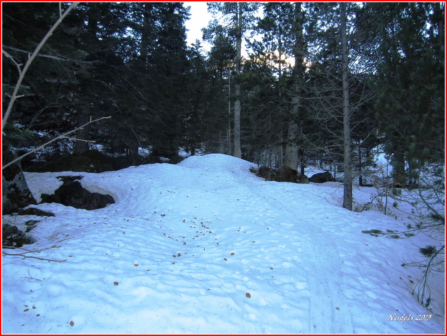
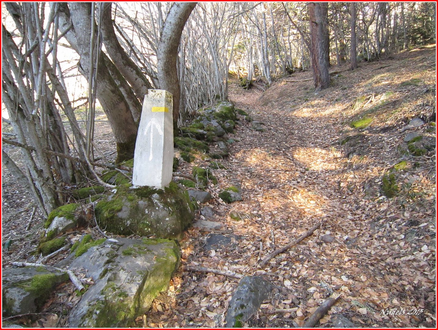
08h25: En este tramo el camino es evidente.

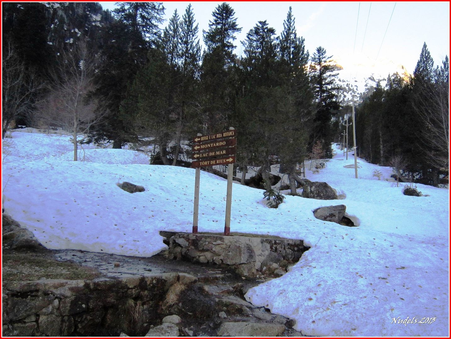
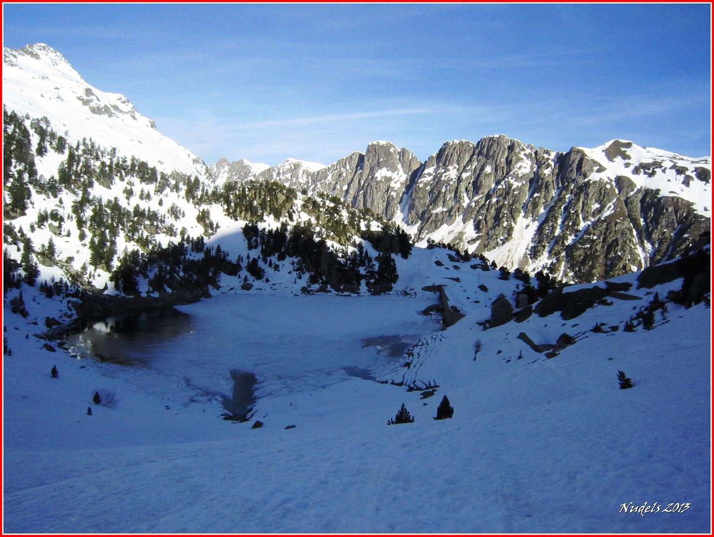
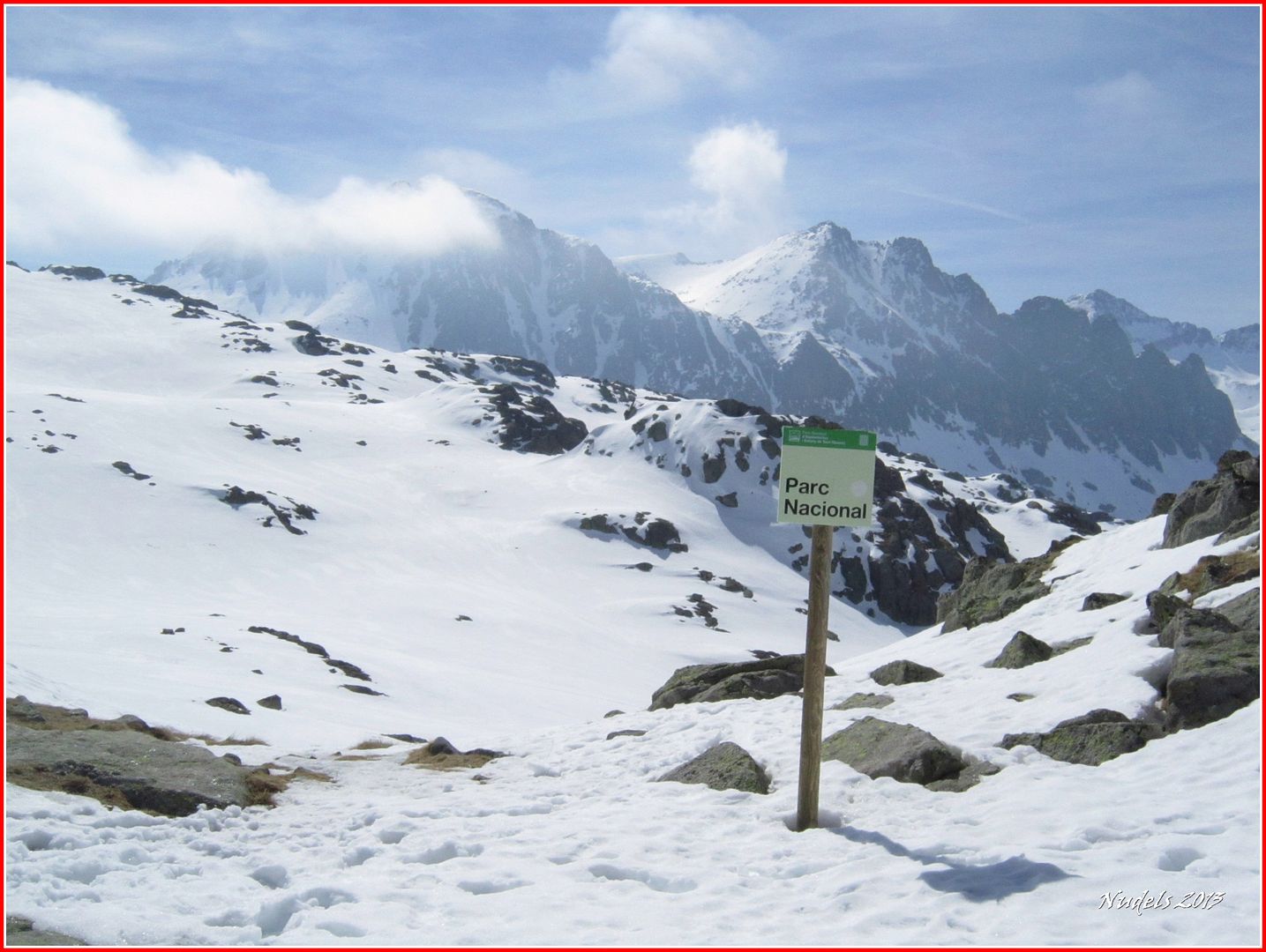
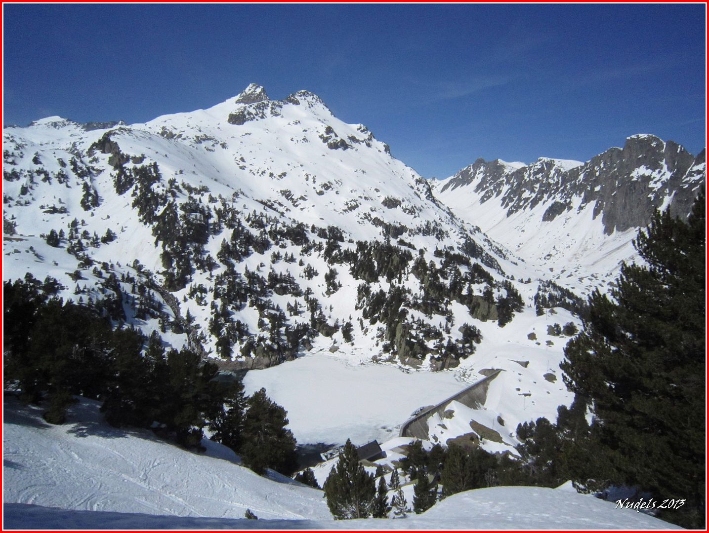
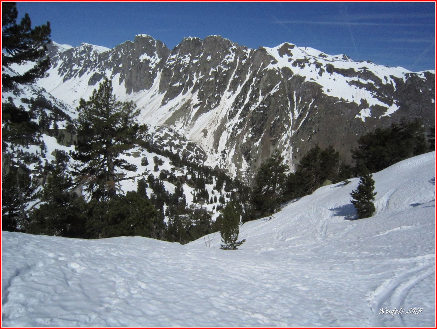
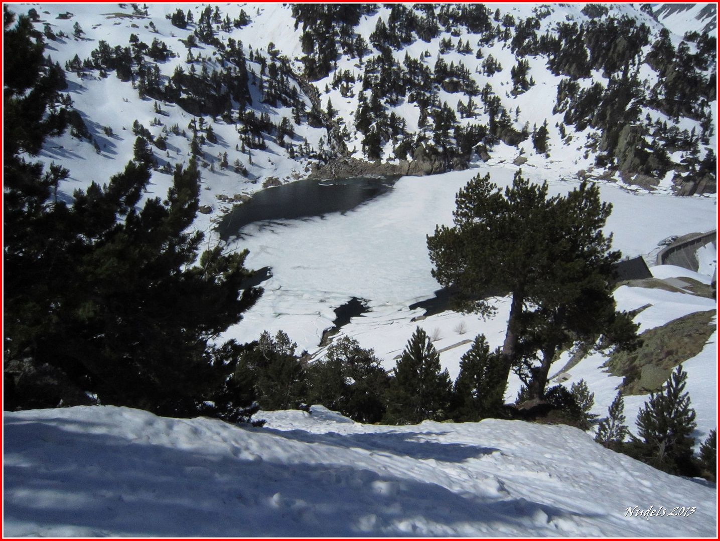
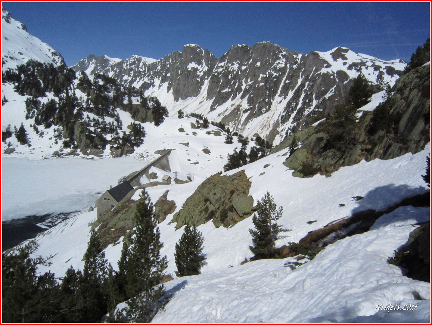
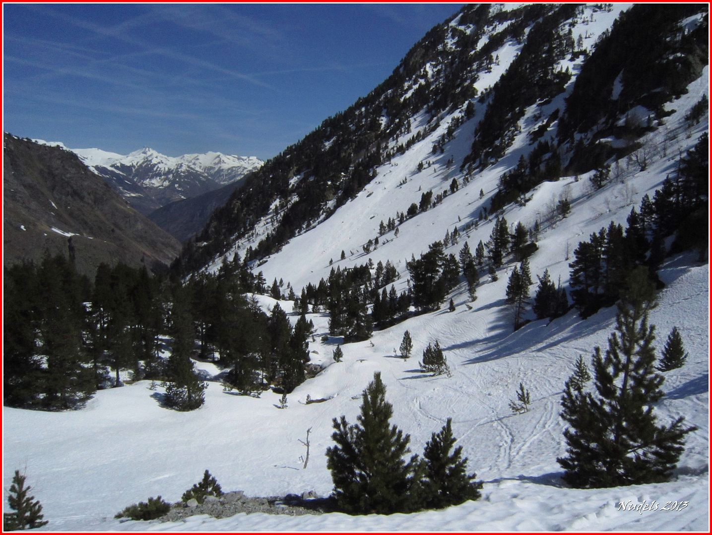
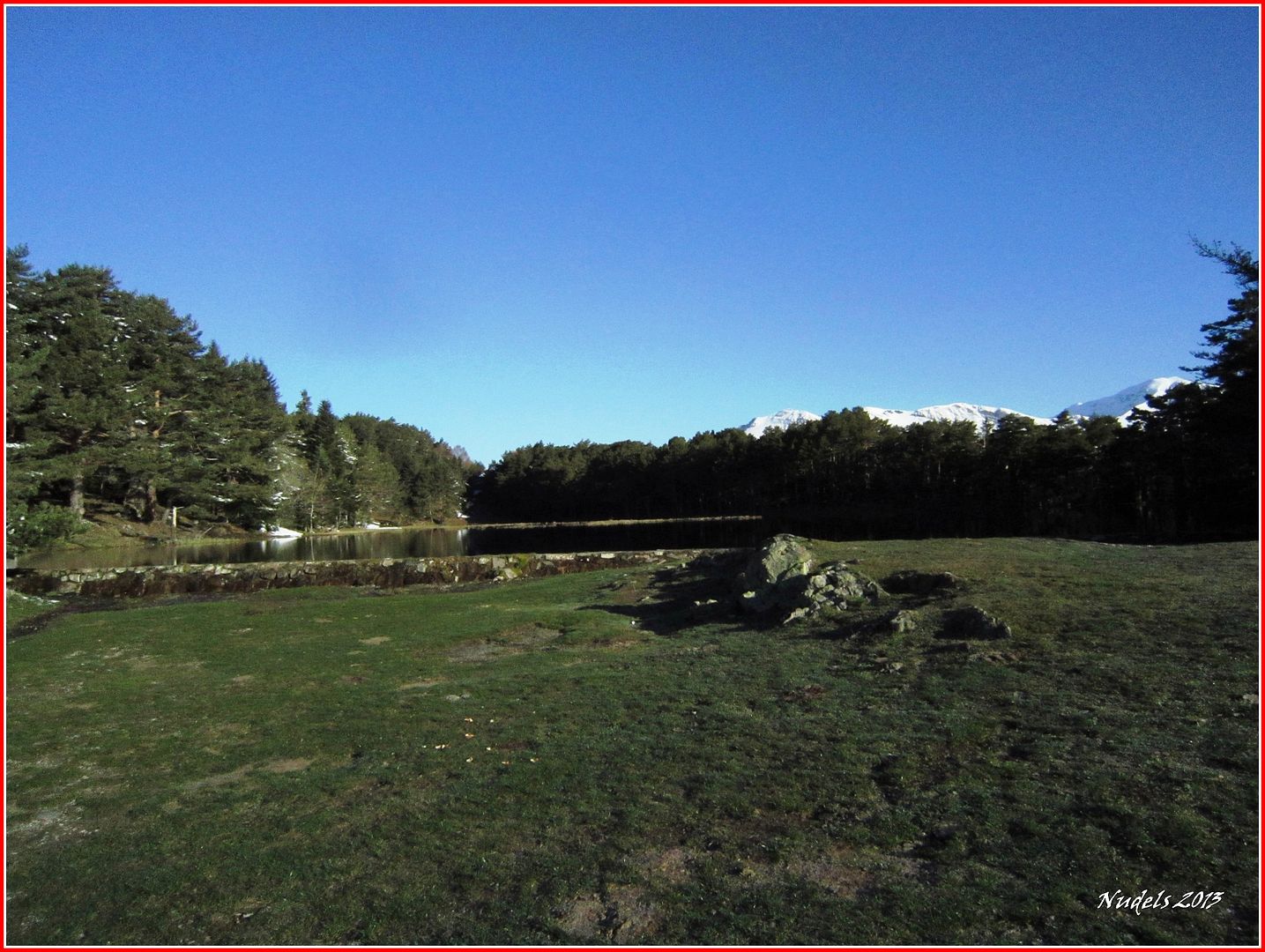
08h34: Y por fin llego a la Balsa d'Oules, al fondo el Montcorbison.

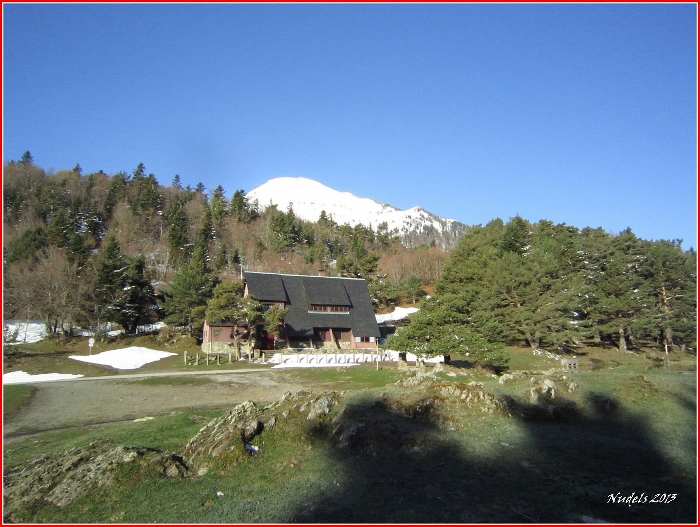
08h35: Y aquí la Bassa d'Oles.

08h41: Bueno aquí no hay misterio tengo que subir allí arriba.

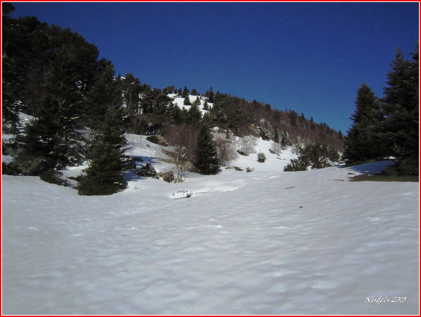
08h55: La nieve está dura y ando bien sin hundirme así que demoro todo lo que puedo para calzarme las raquetas.

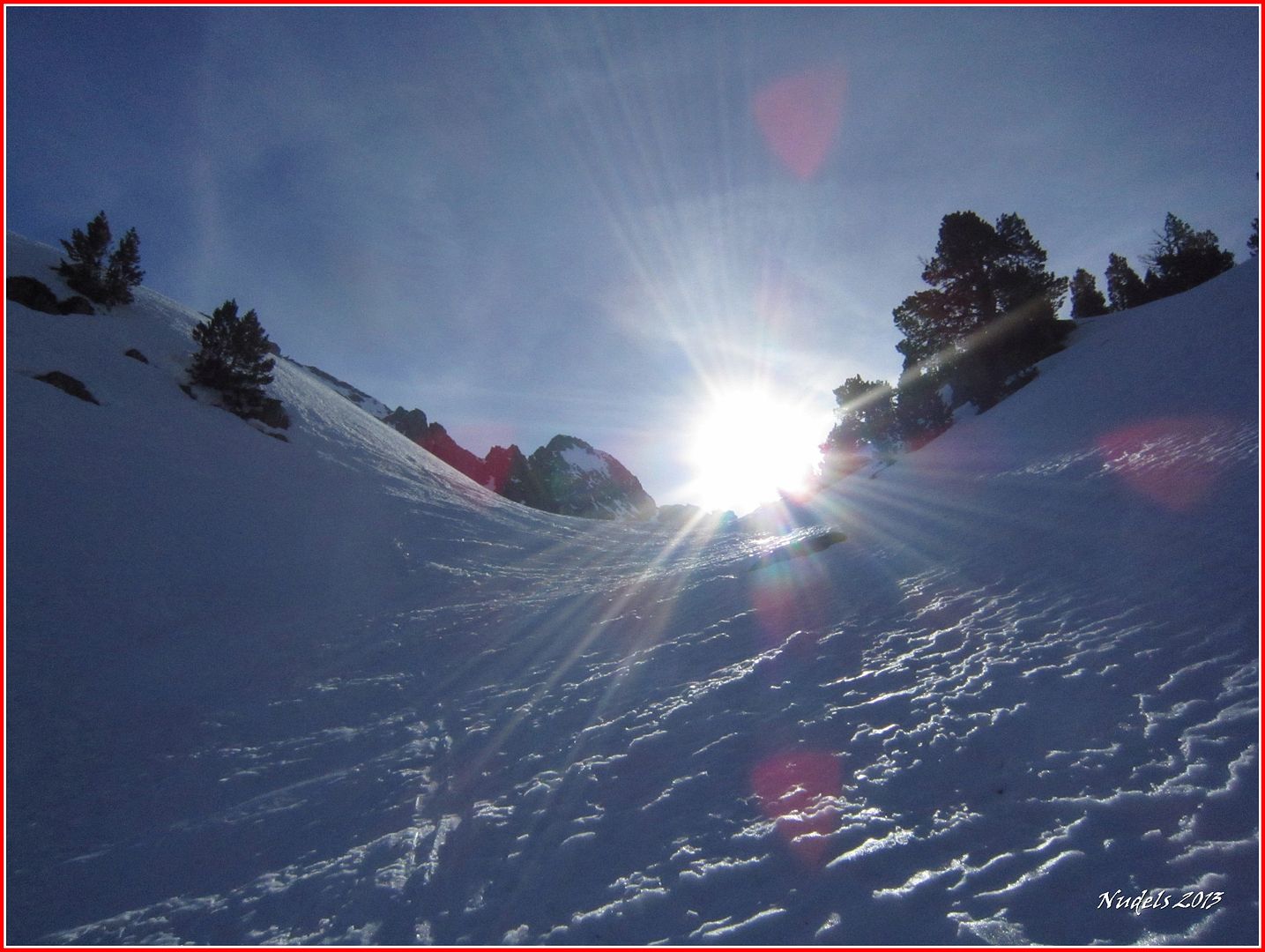
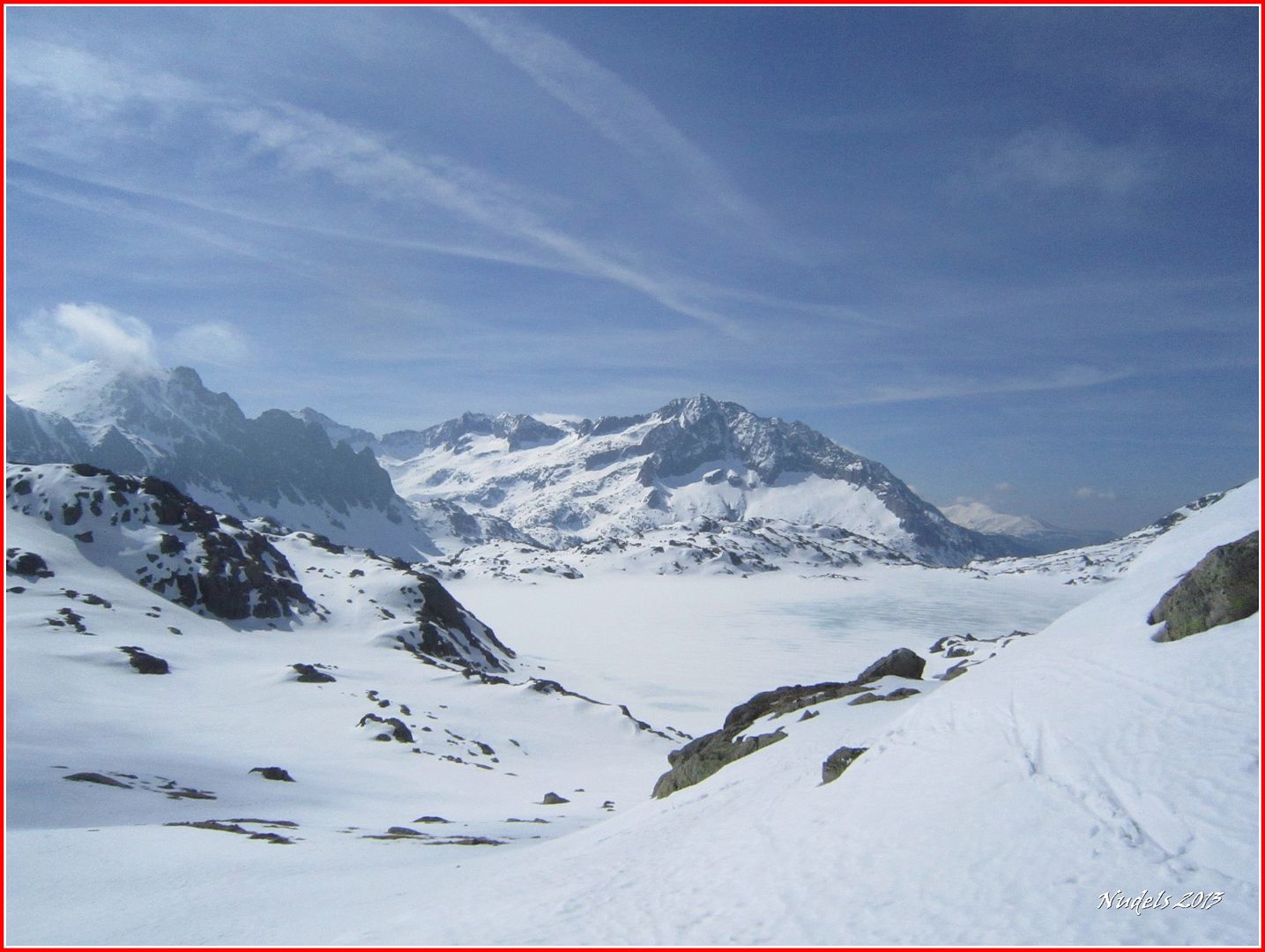
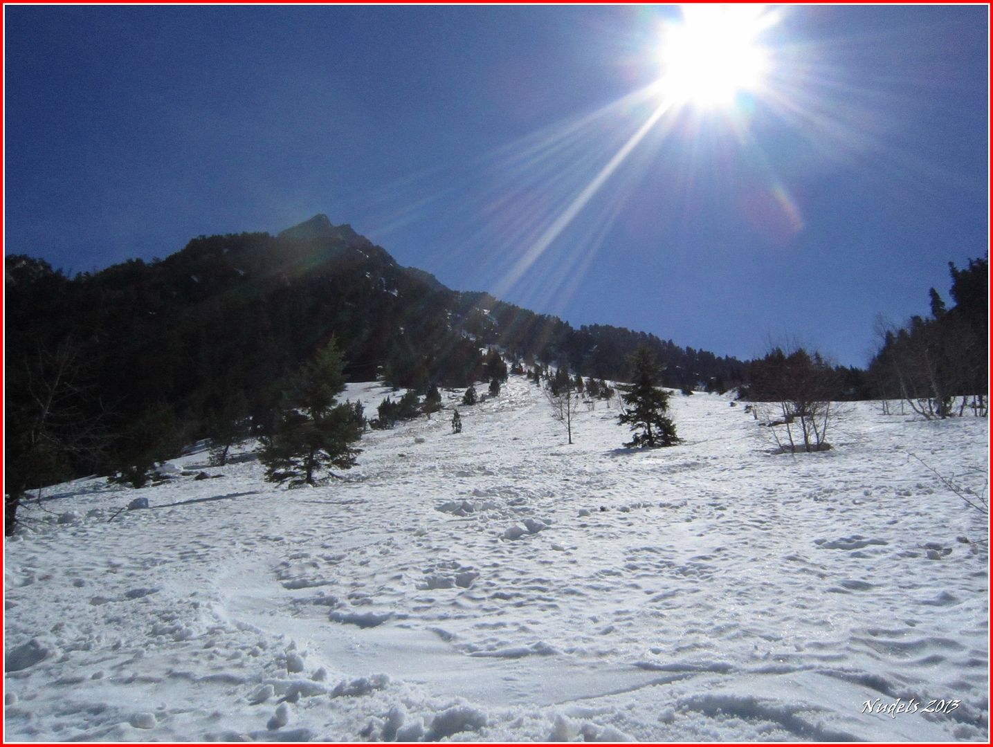
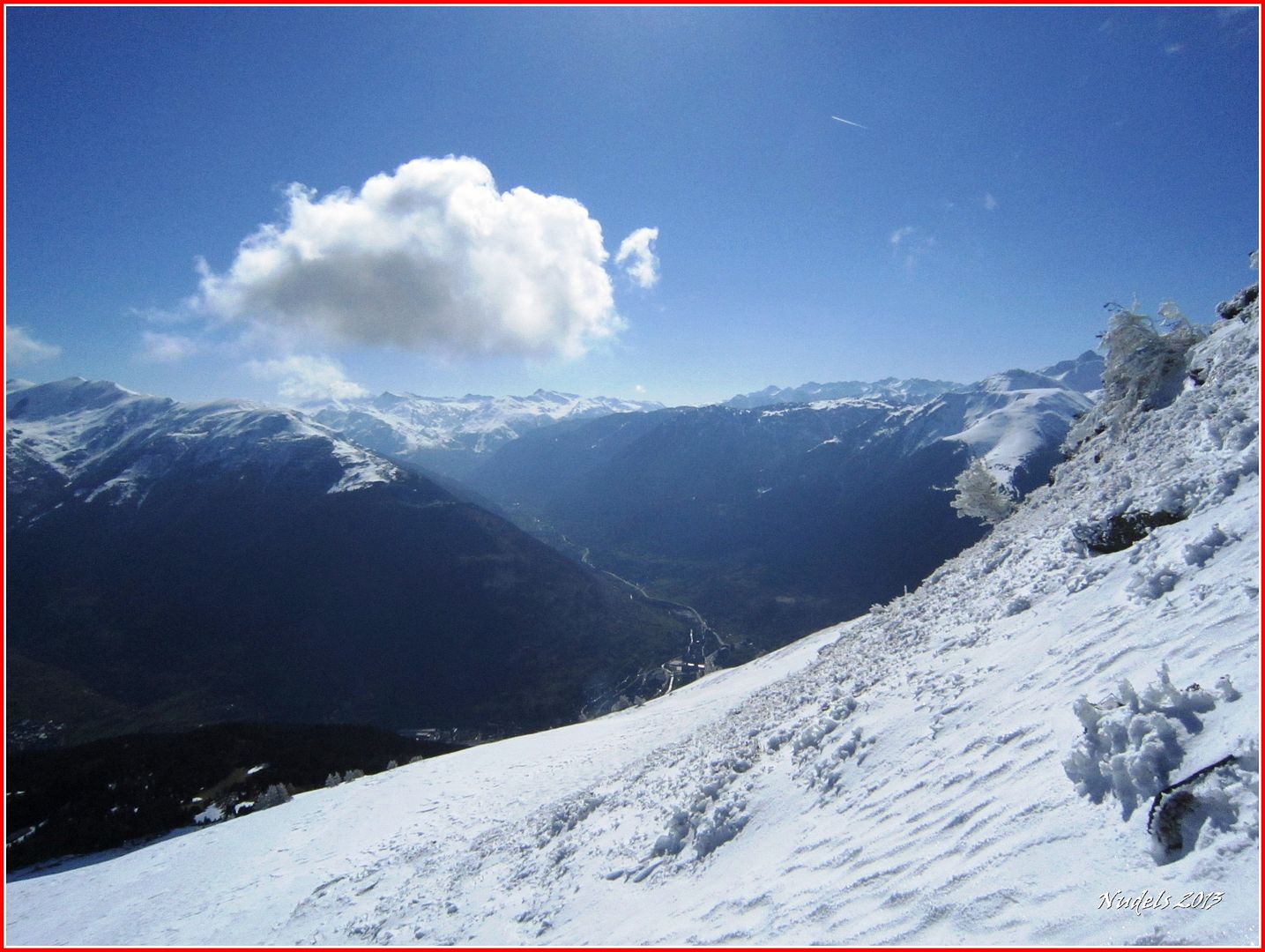
09h03: Un día esplendido.

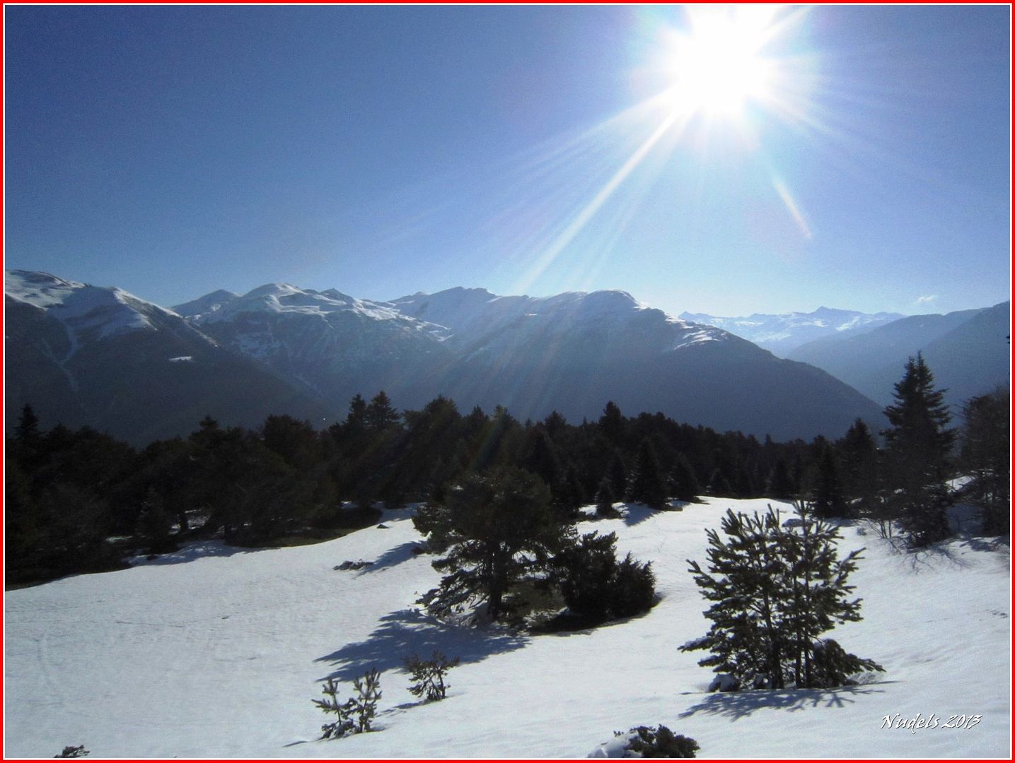
09h35:

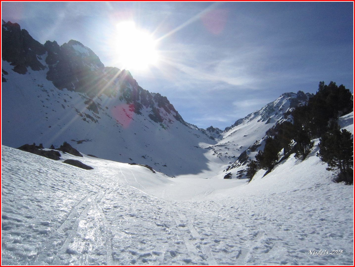
09h35: Busco la subida del verano creo que será mejor harcerlo por ahí.

09h53: La nieve está pegada a las ramas dándole al lugar un paisaje espectacular.


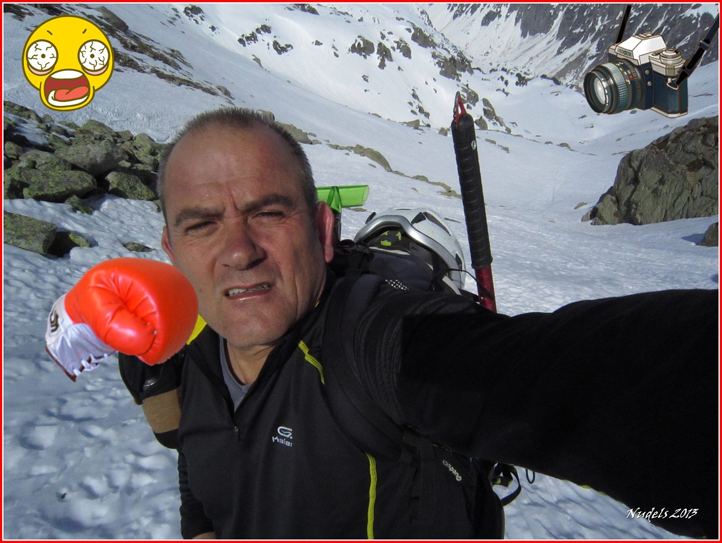
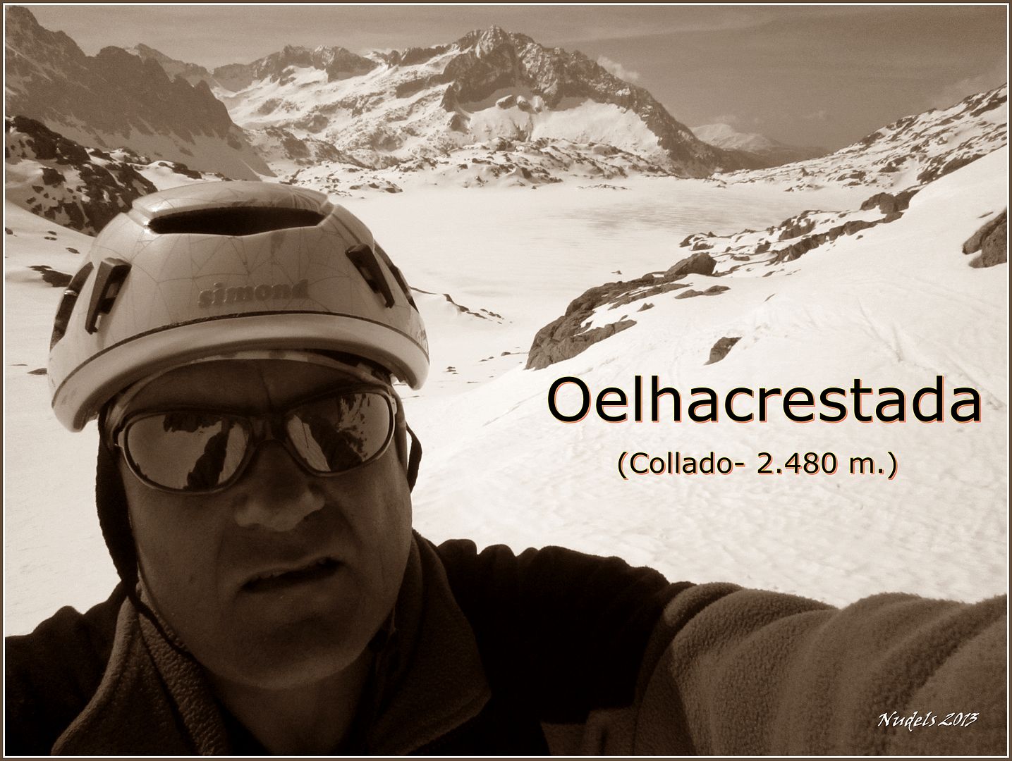
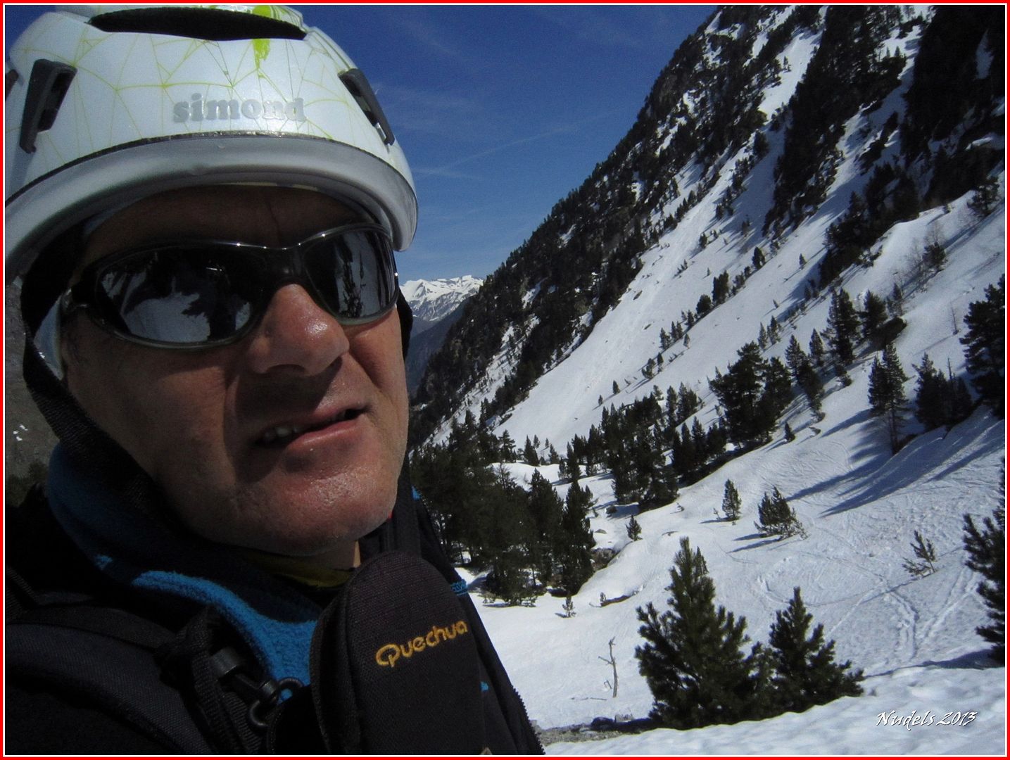
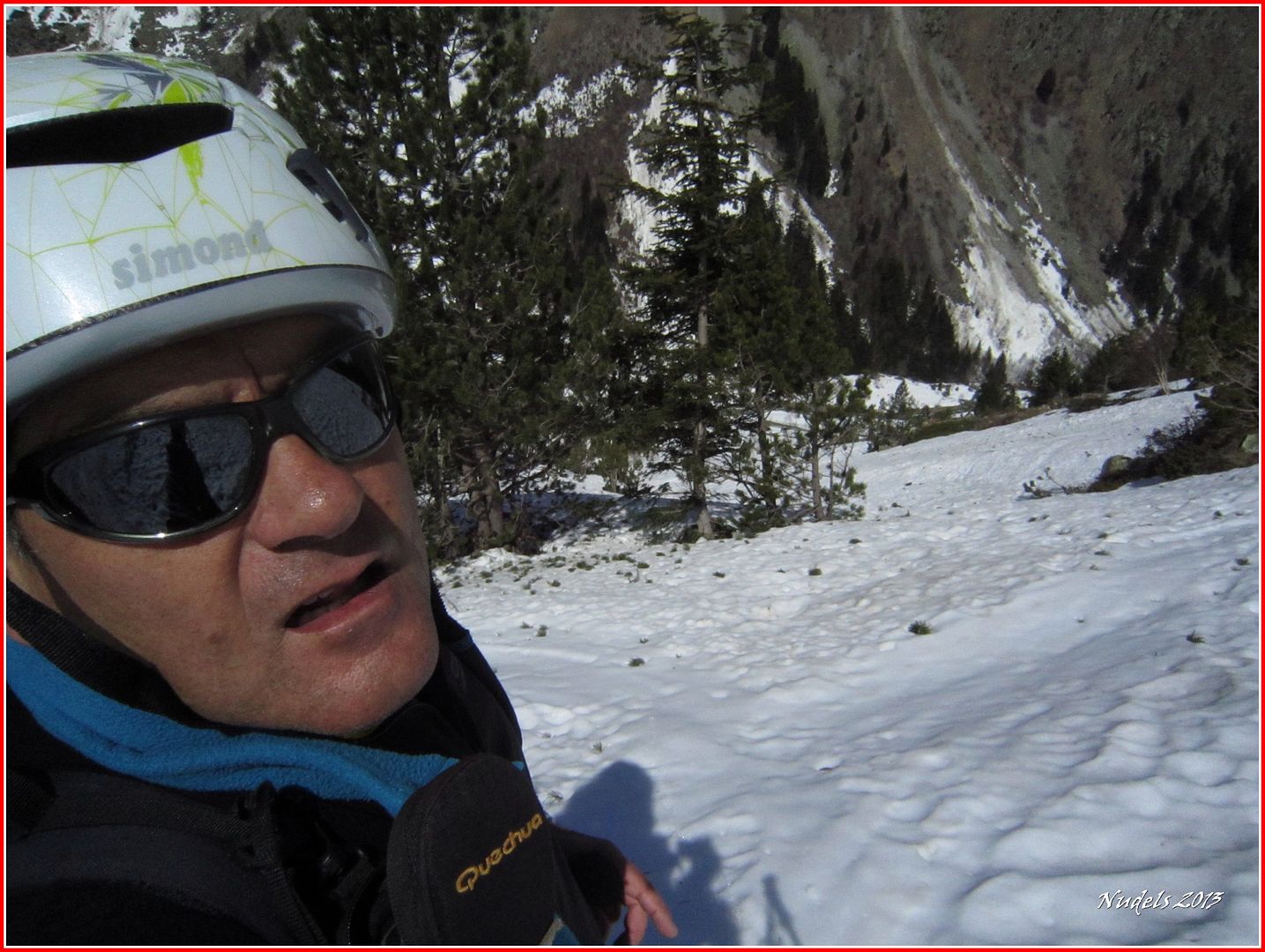
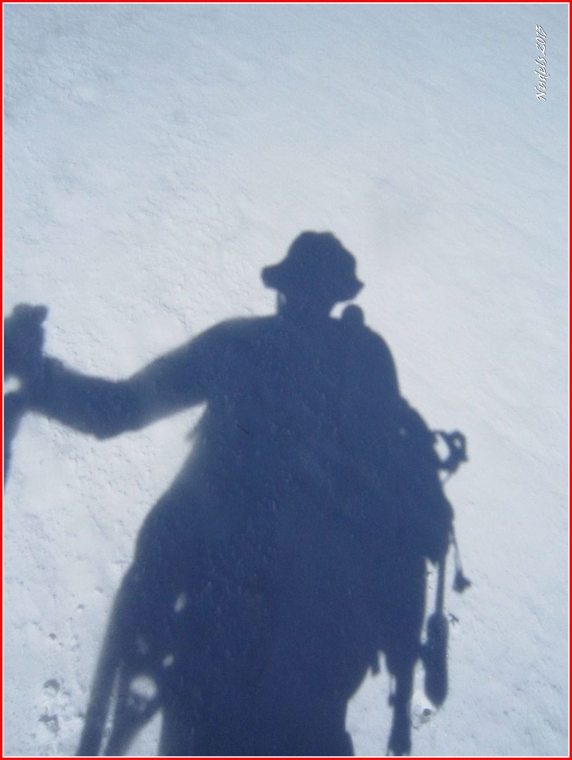
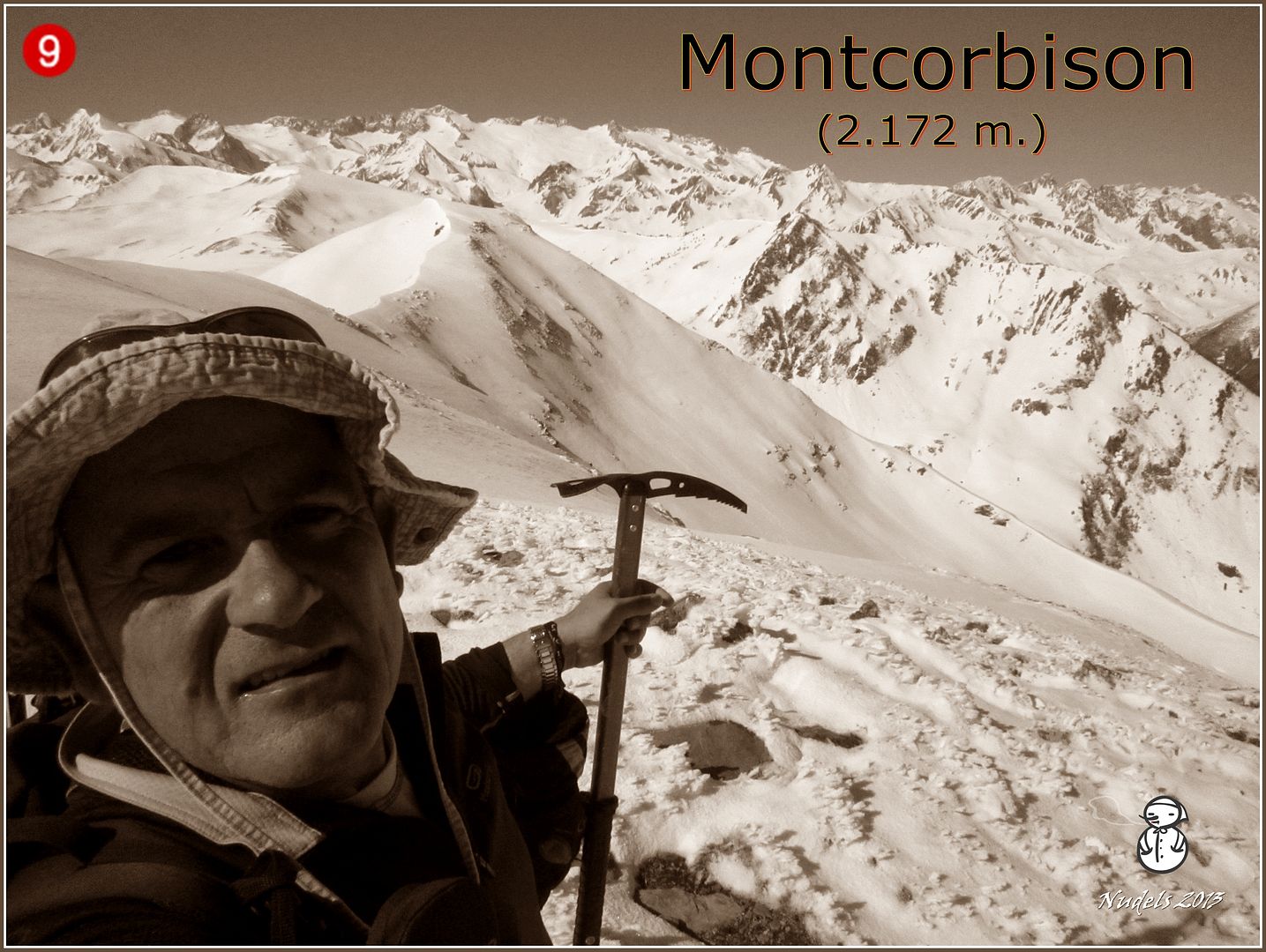
10h09: Es hora de una autorretrato.
10h12: Hacia el Este.
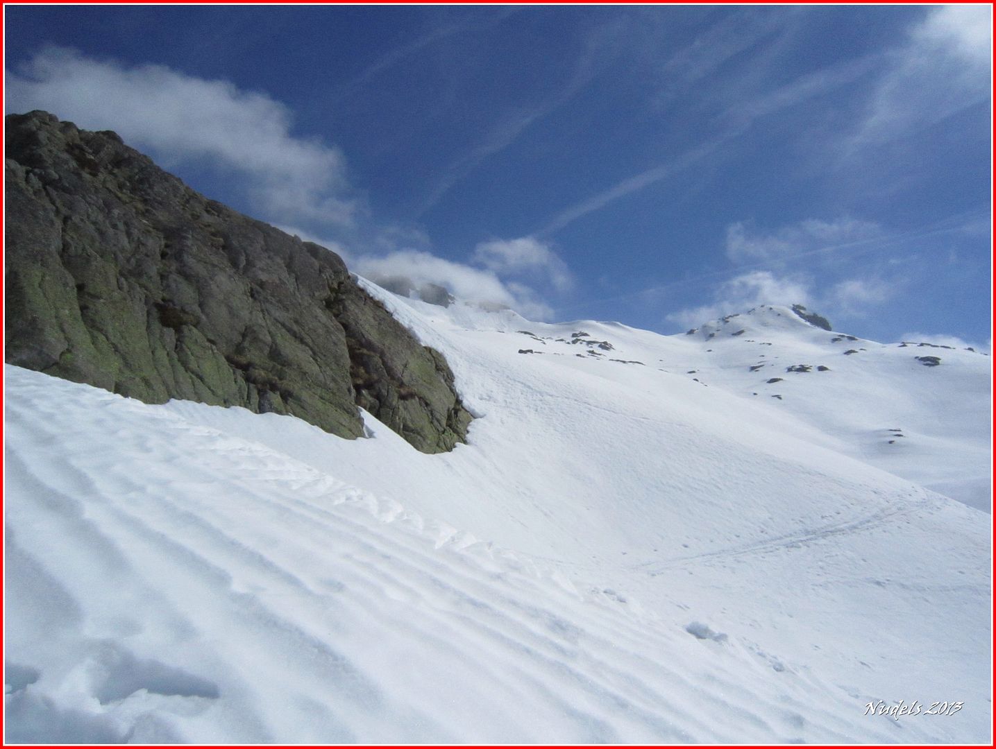
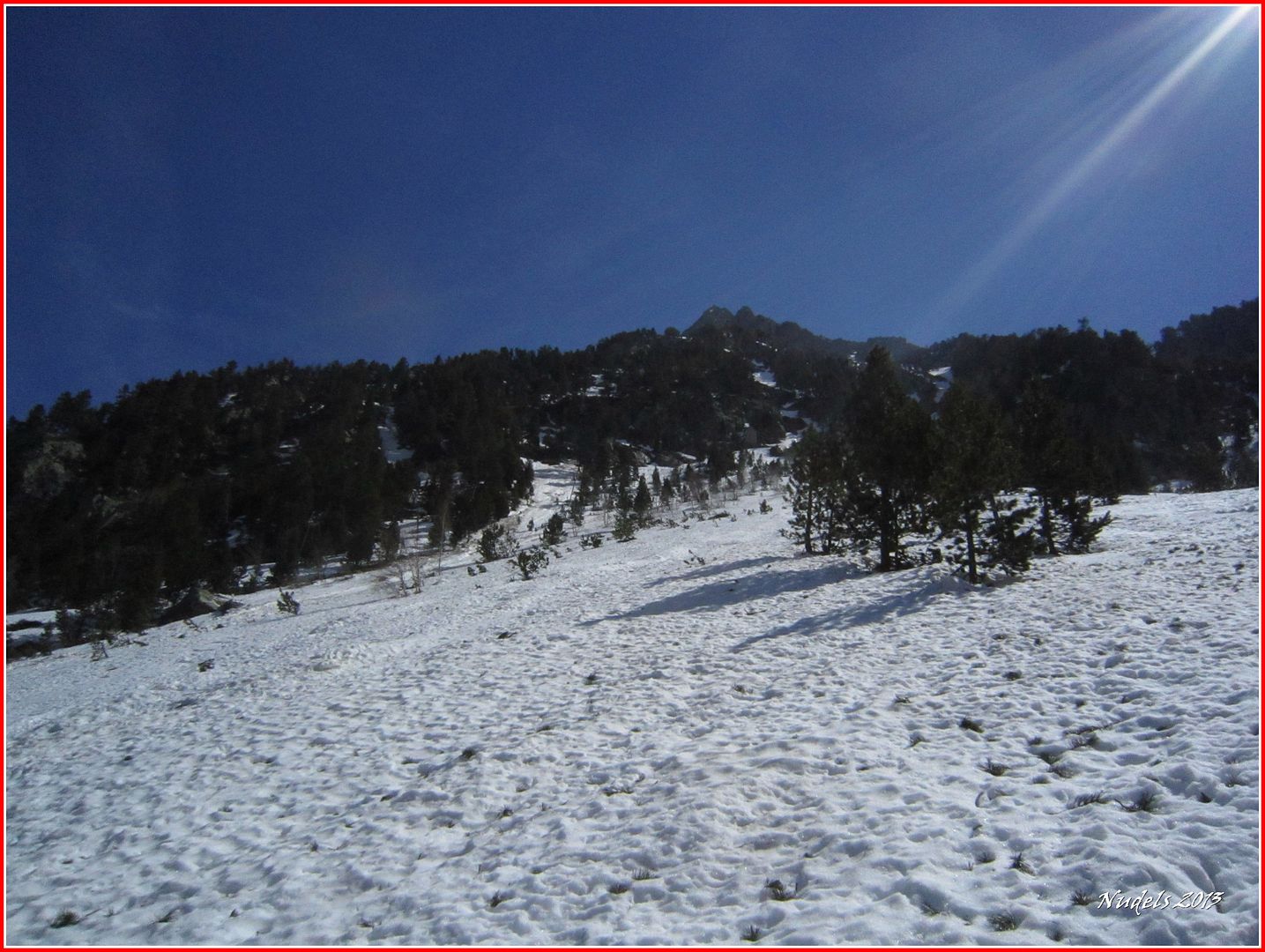
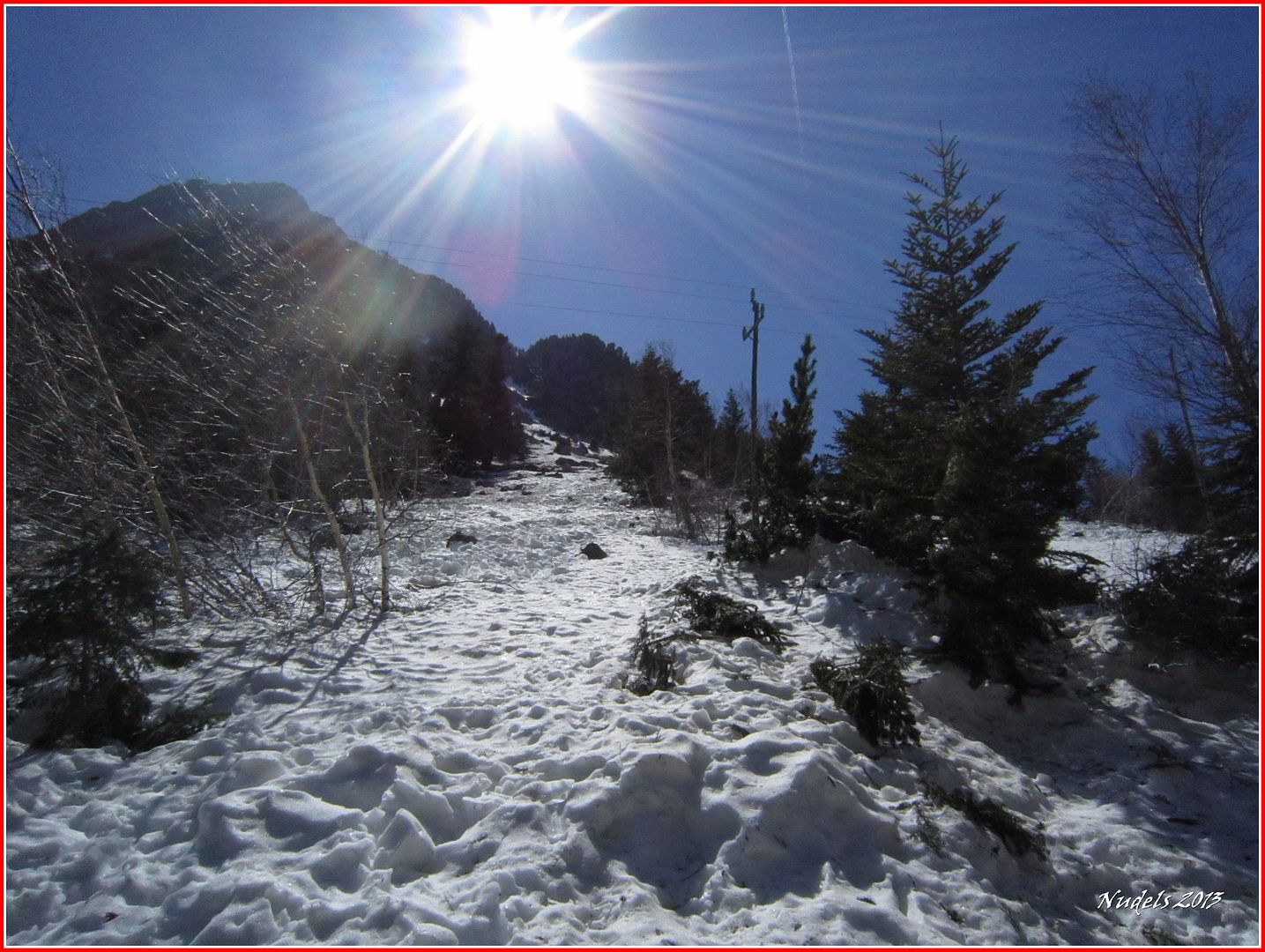
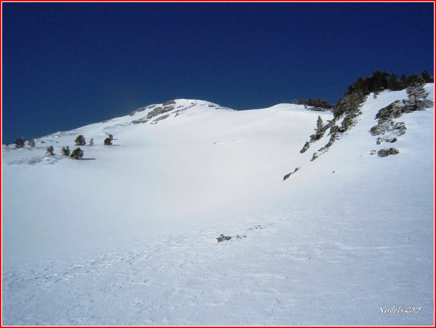
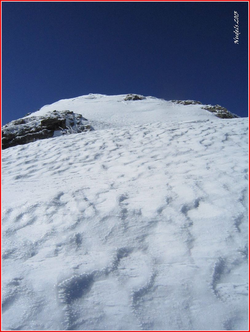
10h28: Aún me queda un empujón y esto empieza a empinarse.
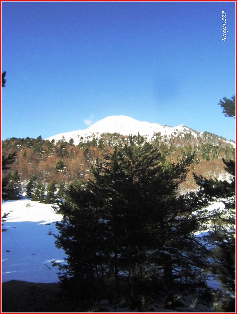
10h38: Un último esfuerzo y llego a lo más alto del Montcorbison (2.172 m.) esta montaña se ha convertido en una cima muy emotiva por diversas razones, rezo unas oraciones y después de contemplar el fabuloso paisaje sigo camino.
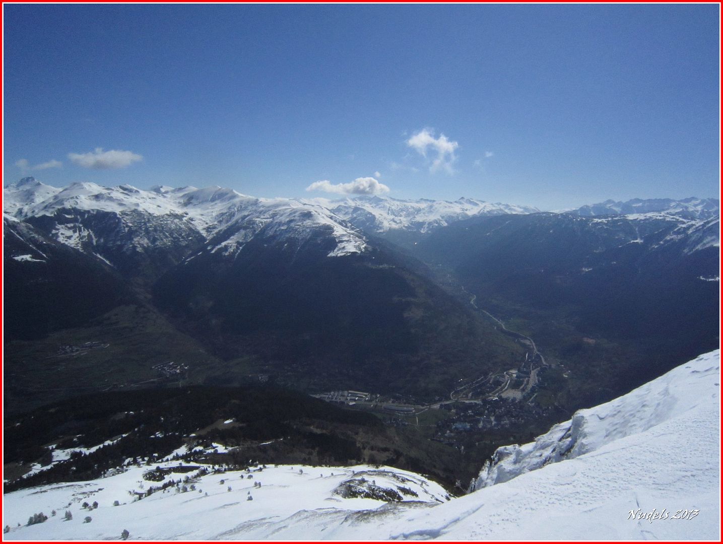
10h48: Hacia el Este.
10h49: En la cima, estampa característica con las antenas y la caseta de los Pompiers d'Aran.

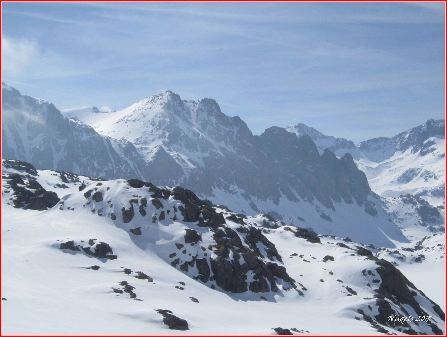
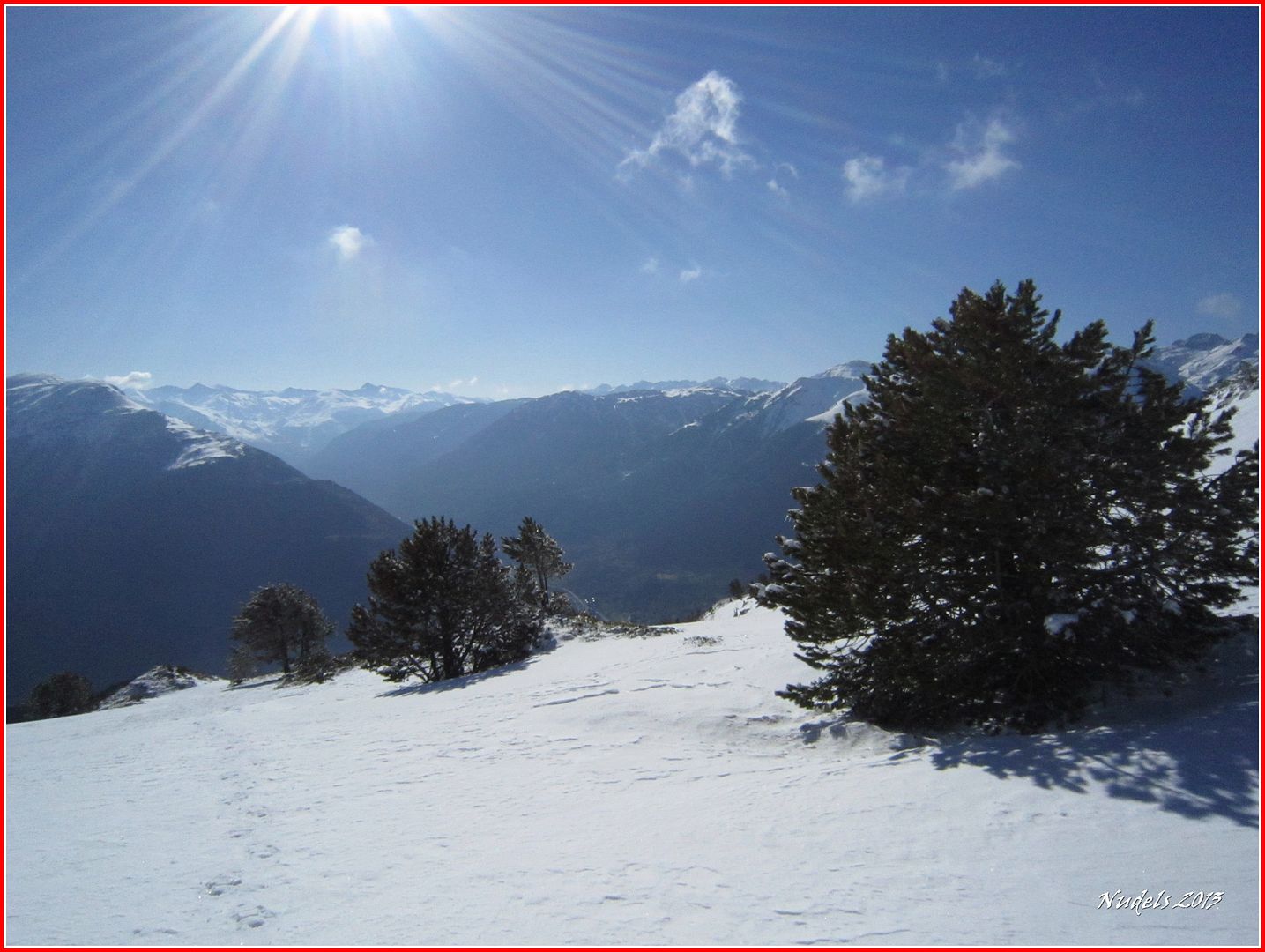
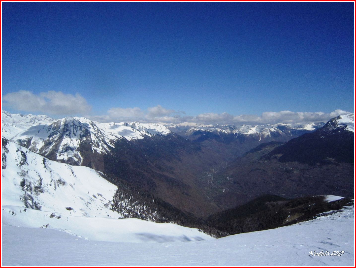
10h57: Hacia Castiero y el Baish Aran.
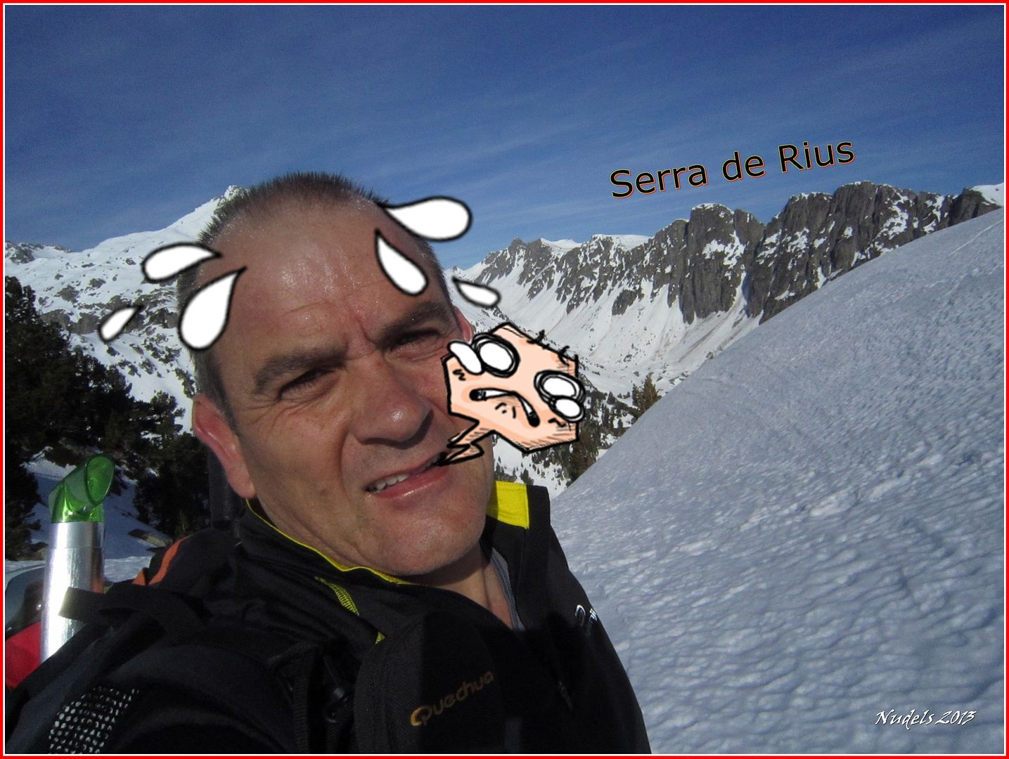
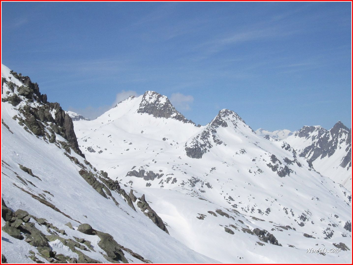
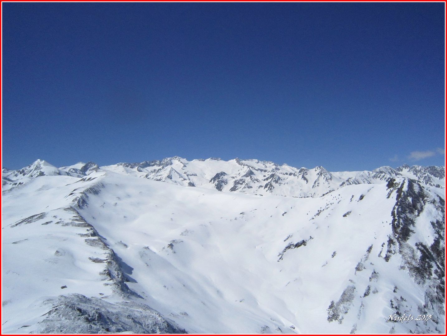
11h00: Y ahora a por el Letassi recorriendo esta amplia cresta.
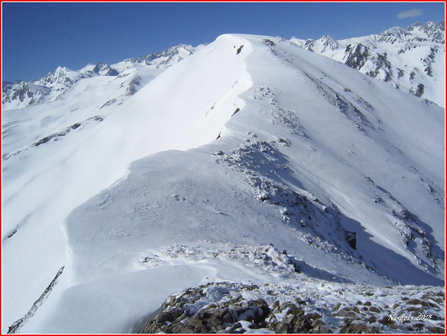
11h08: Una mirada atrás, je, evitando en lo posible las cornisas.
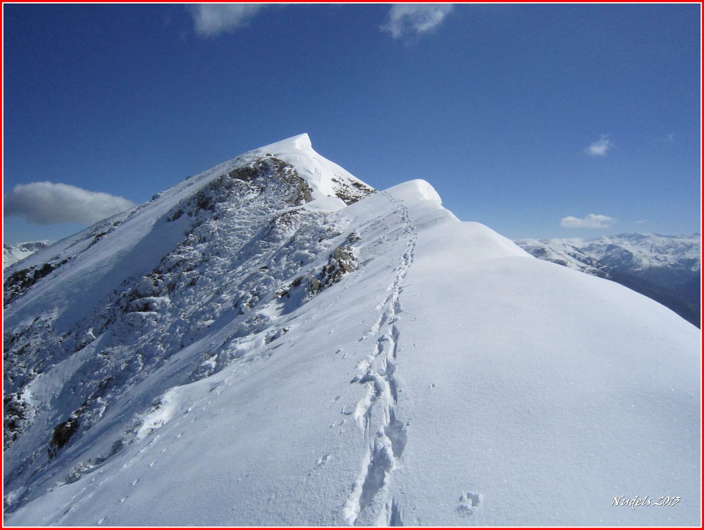
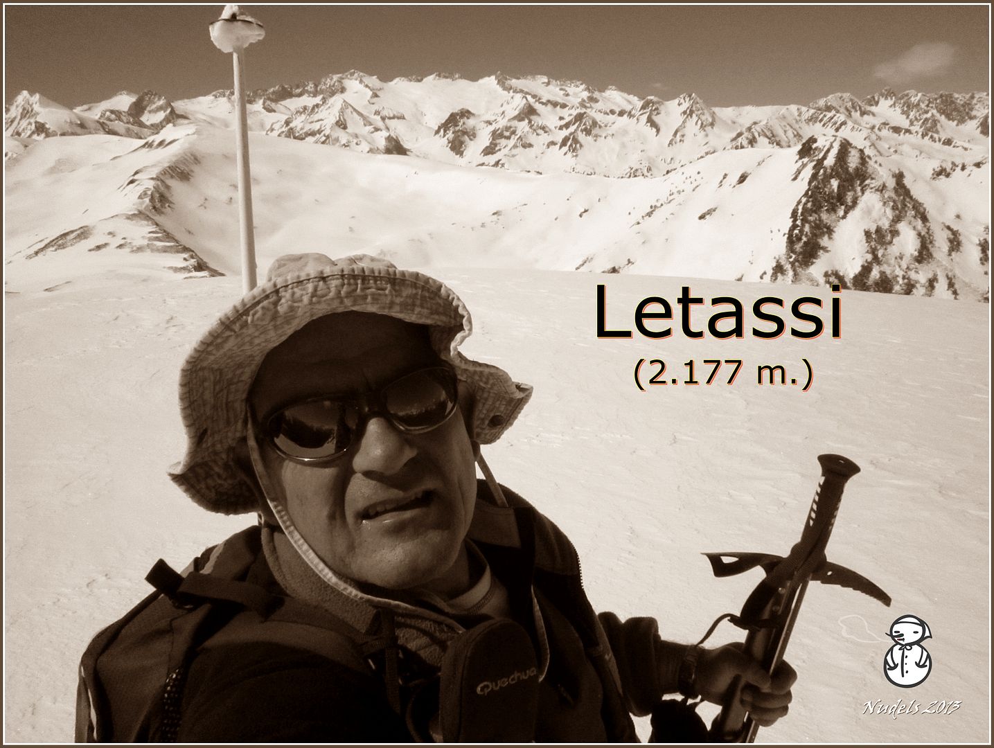
11h20: Llego a lo más alto del Letassi (2.177 m.).
11h28: Tengo que seguir.
11h34:

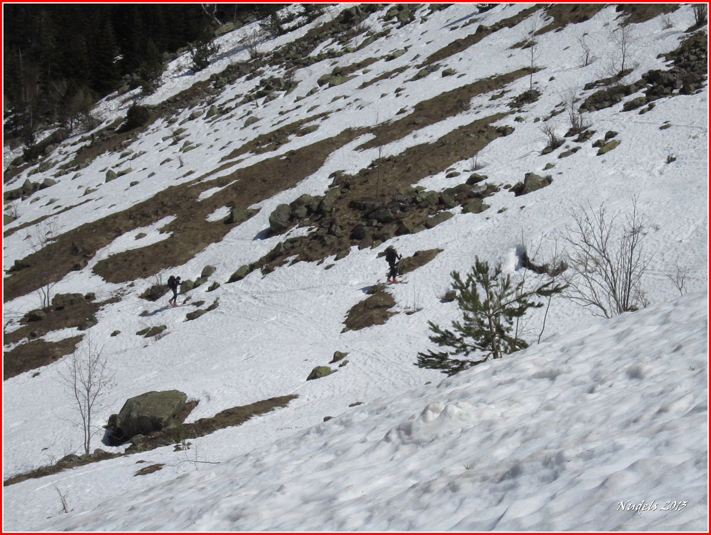
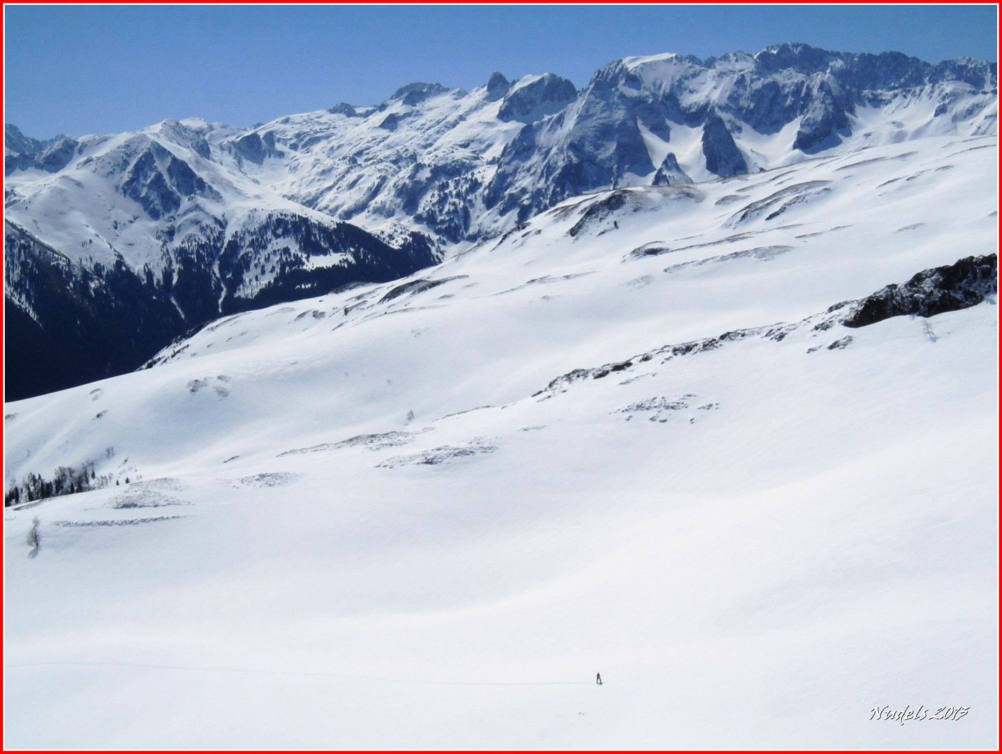
11h35: Me cruzo con dos raqueter@s, ell@s están subiendo agudizando la vista se distinguen.

11h42: Y también agudizando la vista se aprecia un esquiador.
11h53: Charlo un rato, se trata de un amigo y cada uno sigue su camino.

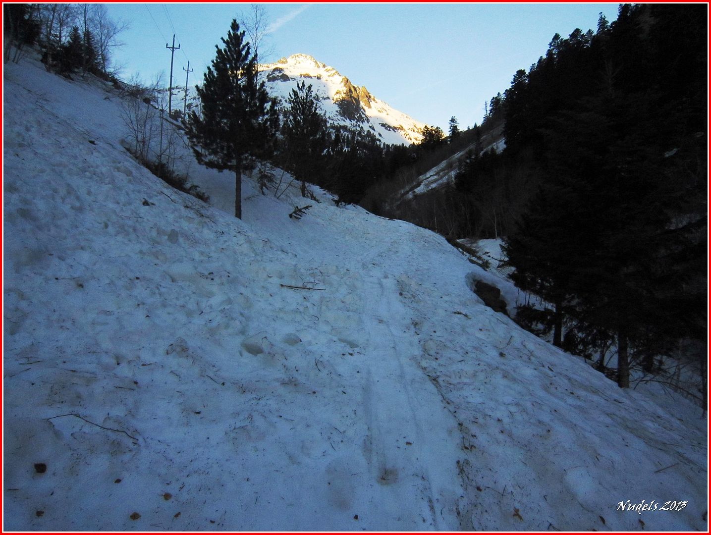
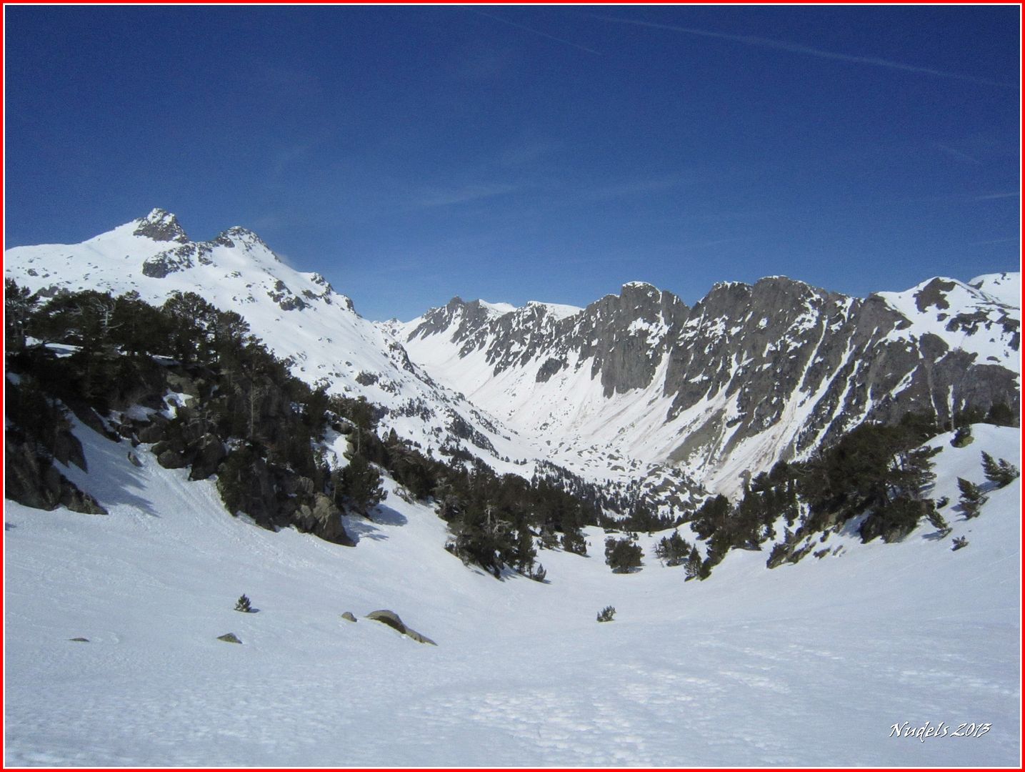
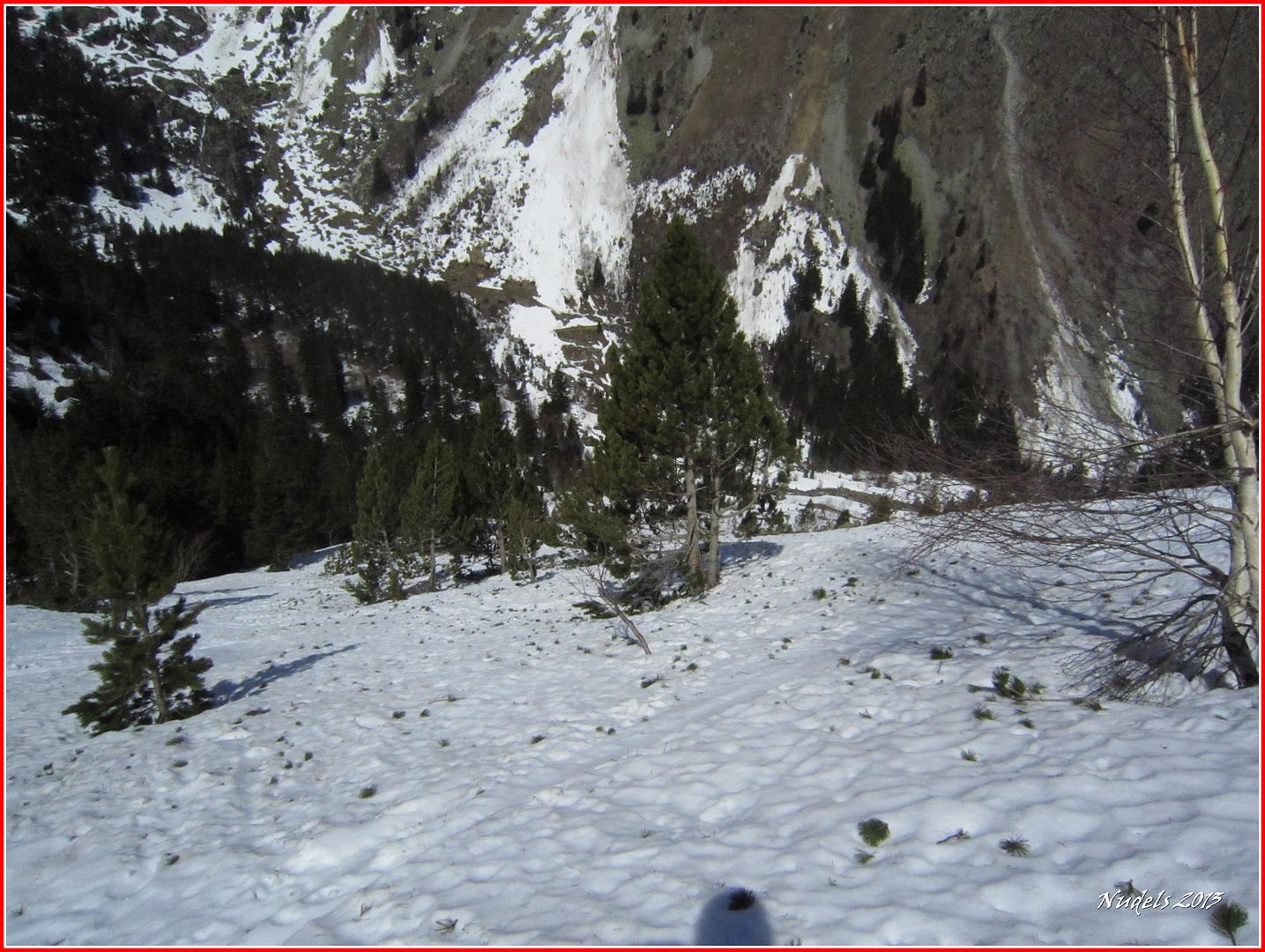
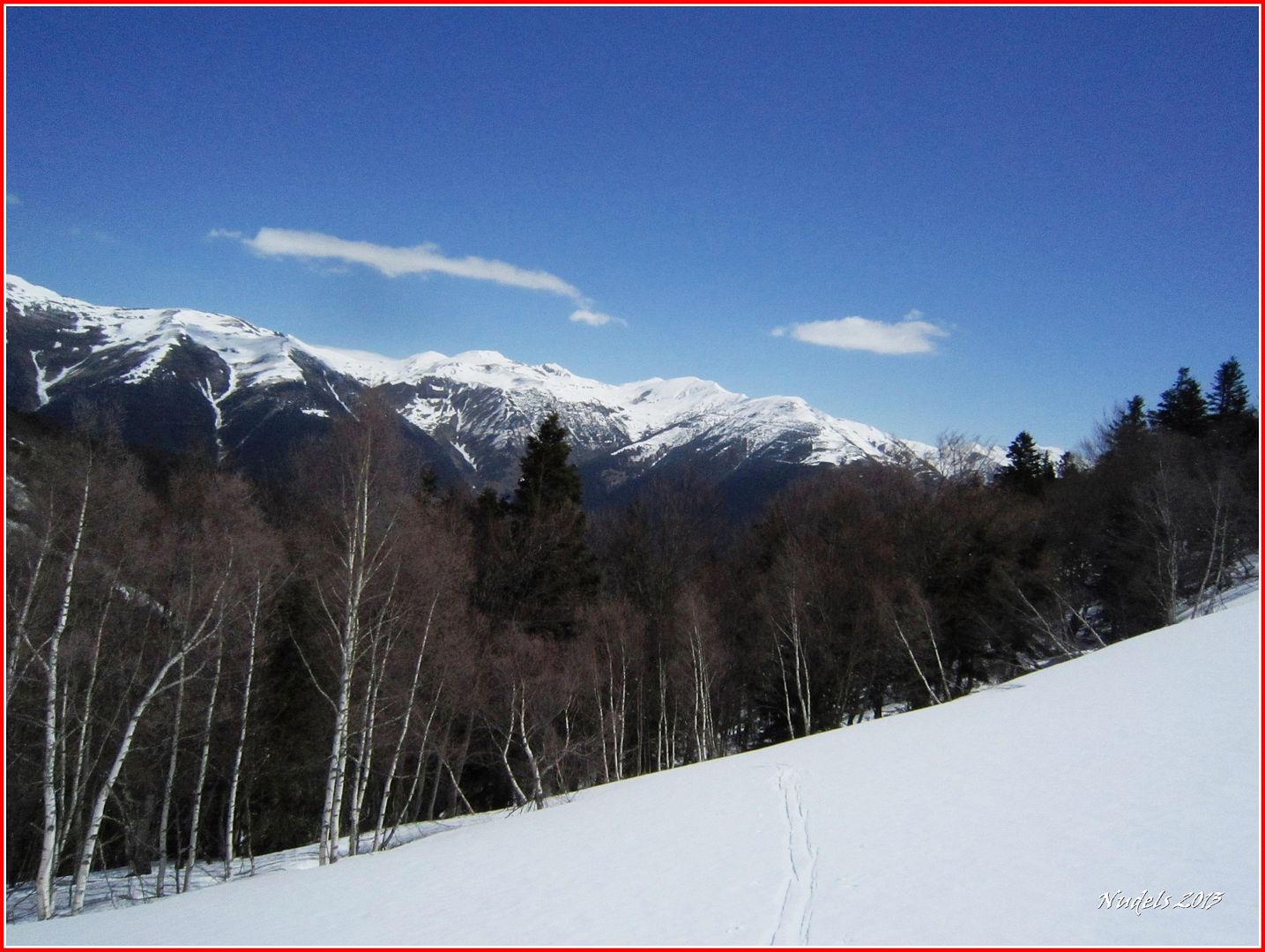
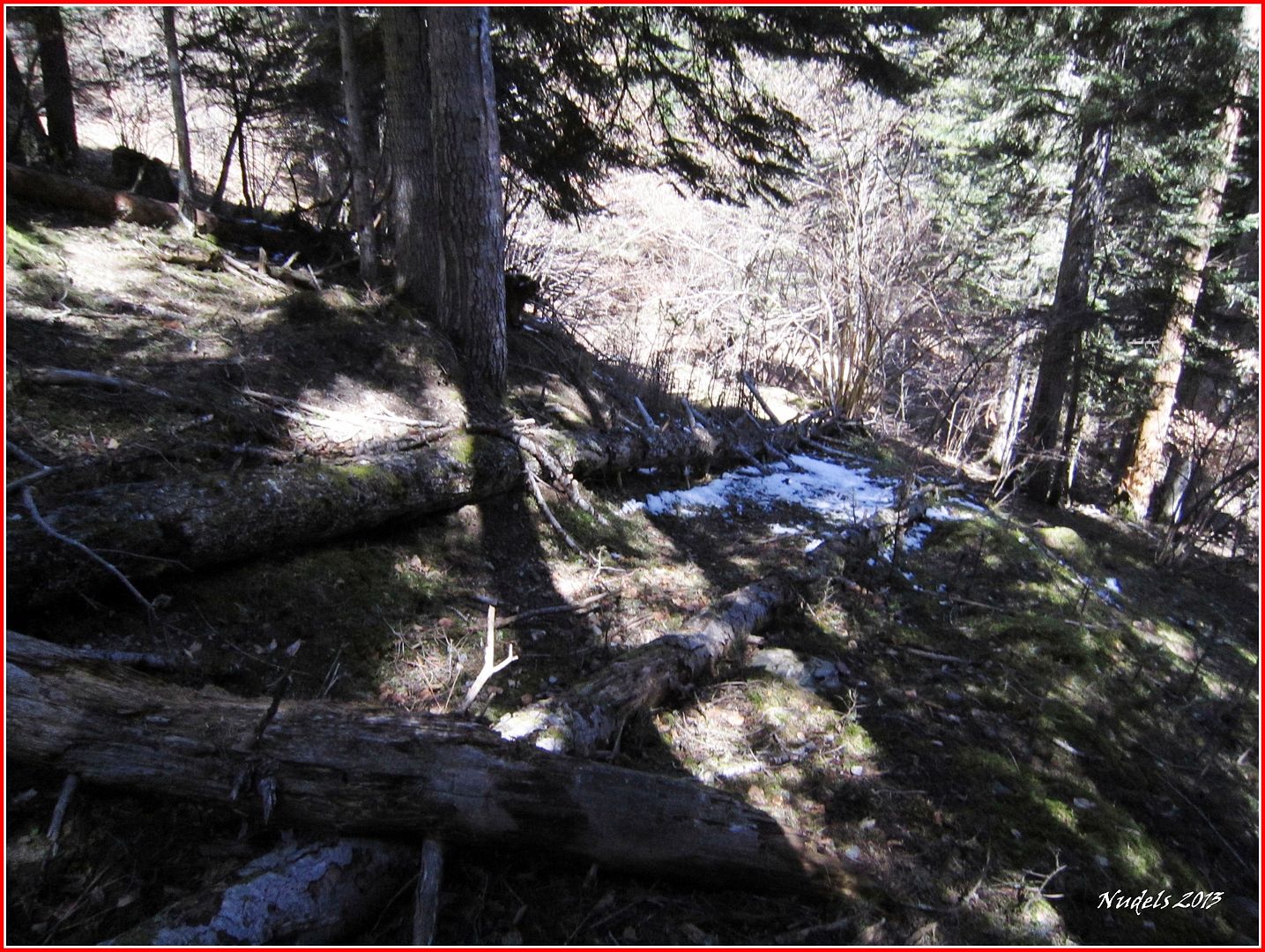
12h27: Siguiendo las huellas del esquiador me traga el bosque.
12h50: Enlazo con la pista forestal.
13h09: Aquí el esquiador dejó su coche me alcanza en el regreso uyme invita a subirme pero le digo que no que quiero seguir andando (je, estoy castigado) porque me interesa grabar el track.
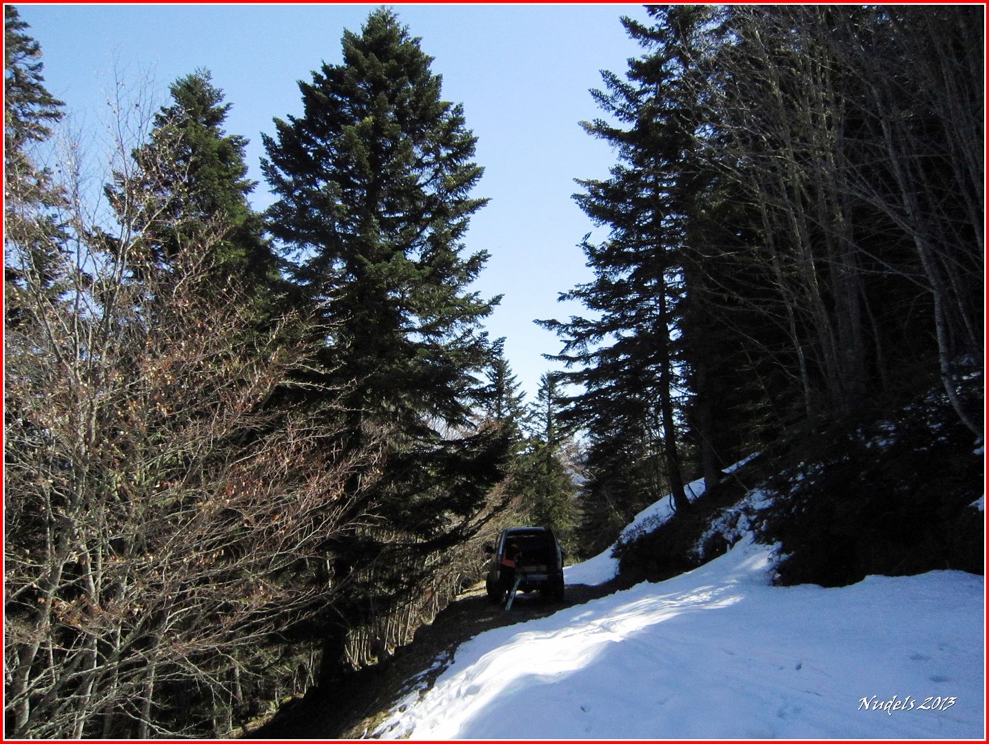
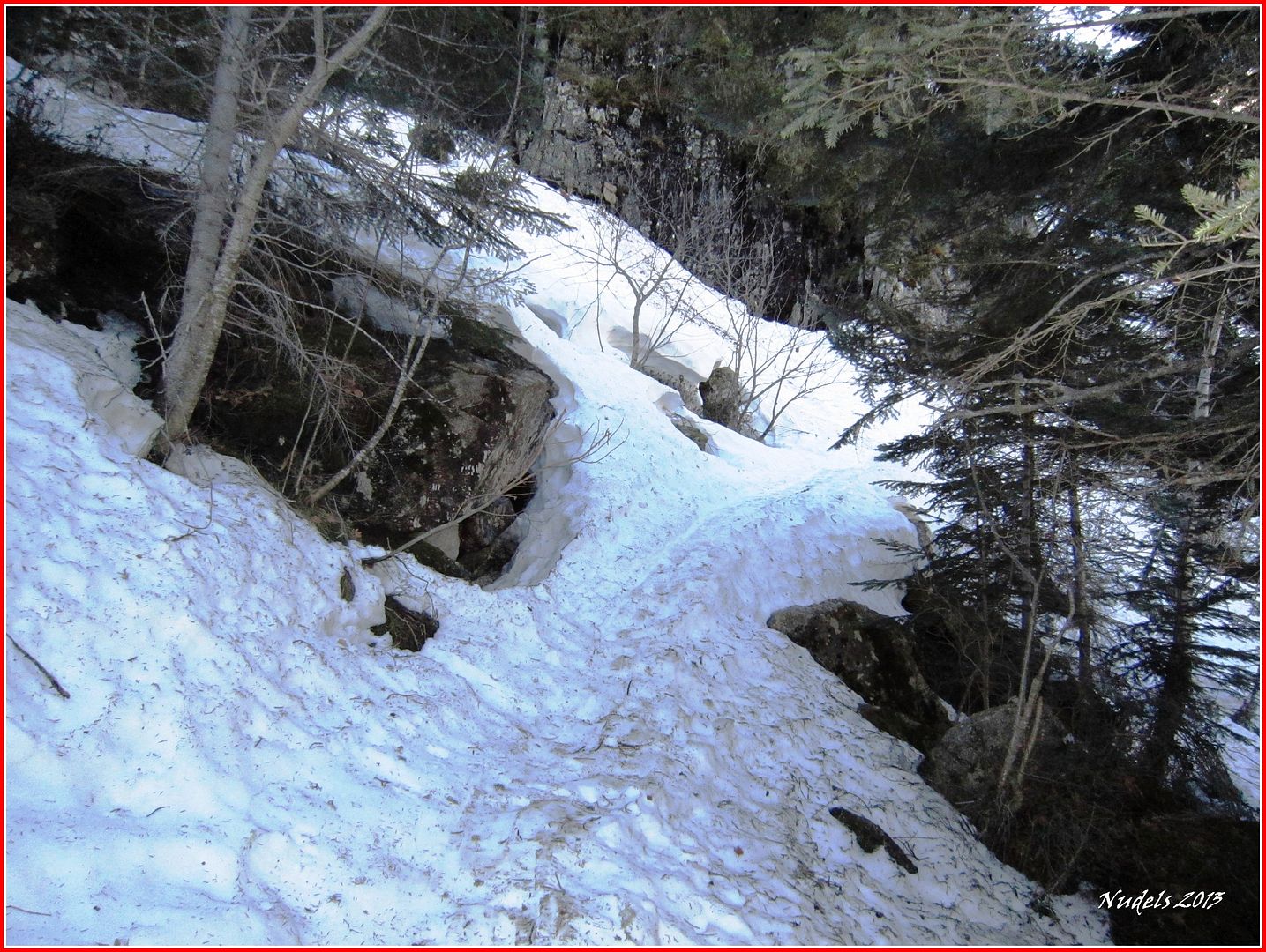
13h17: Evito en lo posible la pista me bajo por las "trialeras".
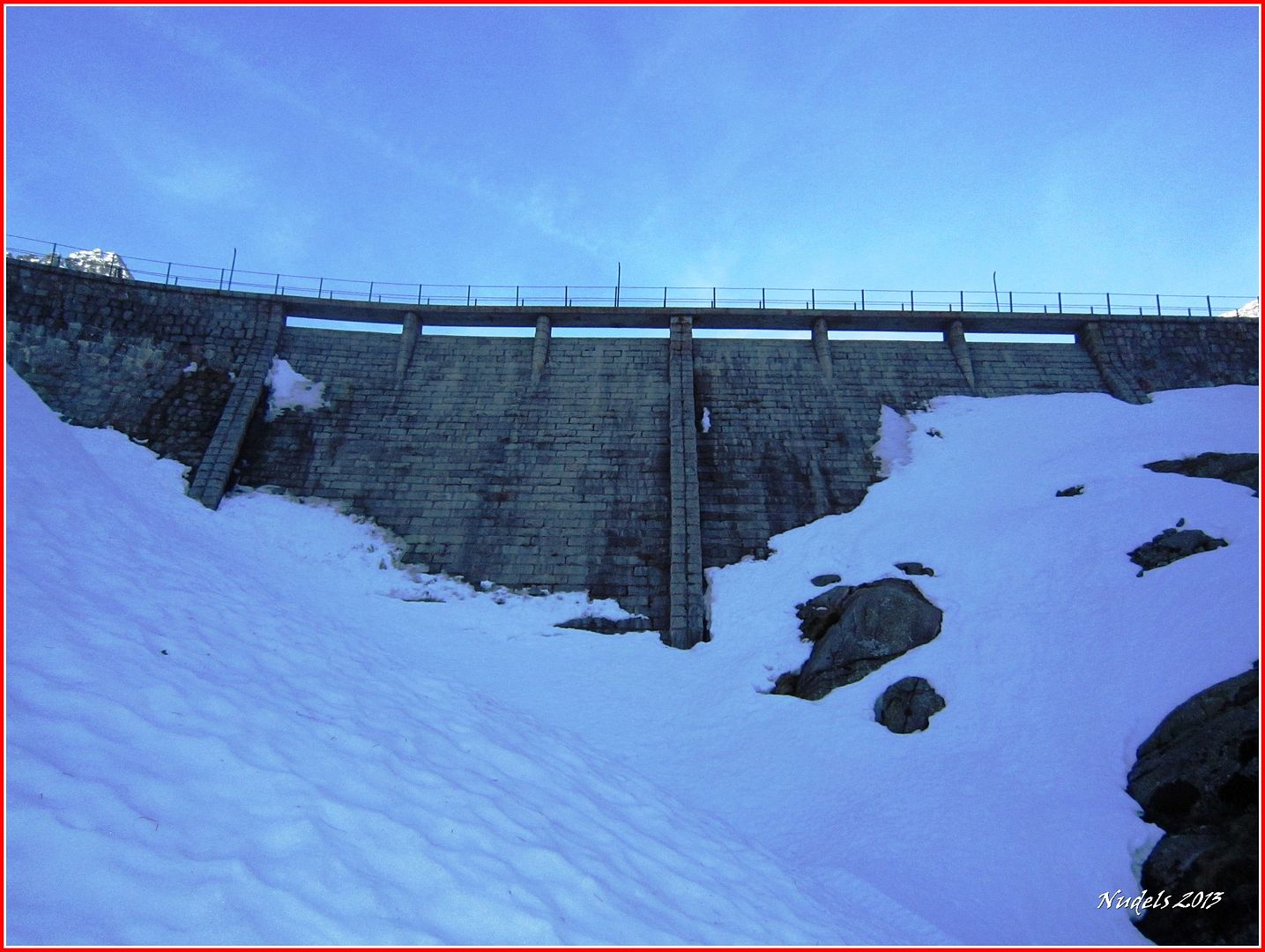
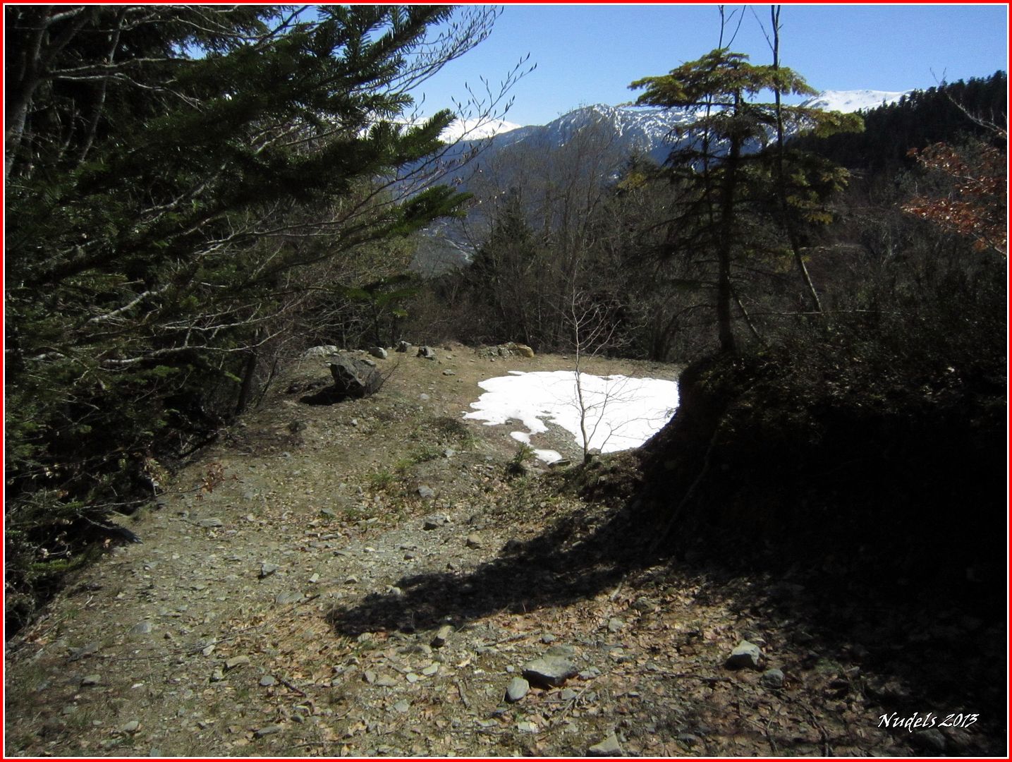
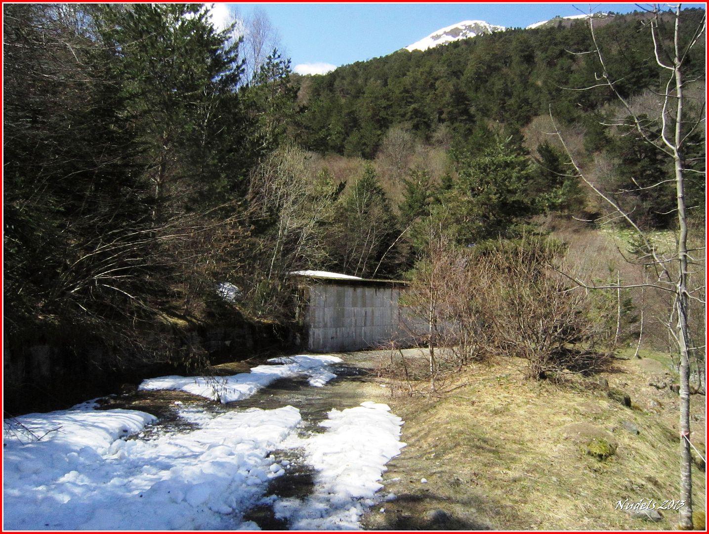
13h30: Llego al depósito de aguas de Casau.
13h47: Bajo en dirección al pueblo.
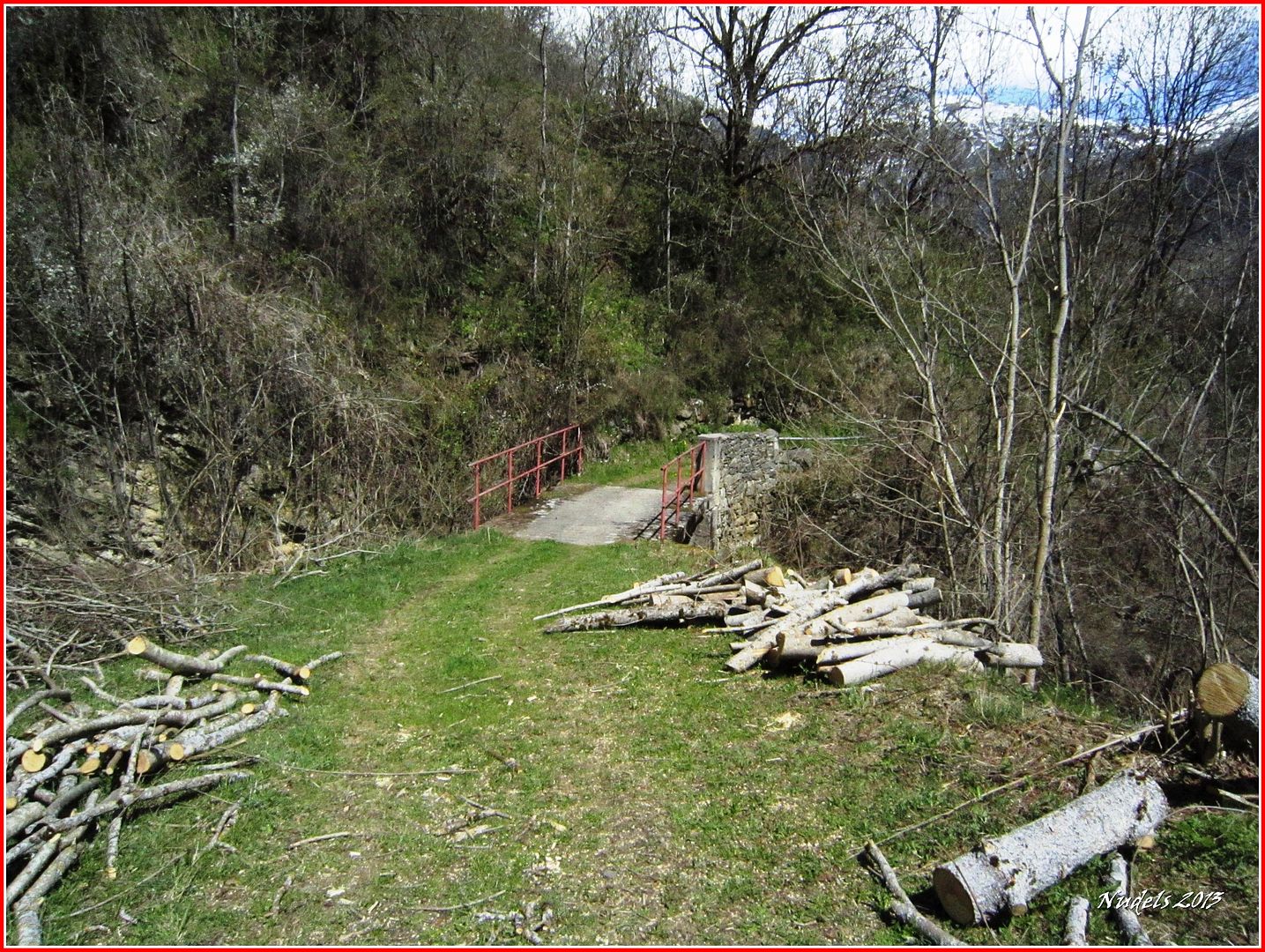
13h47: La montaña queda ya lejos.

13h49: Por fin Casau, ya falta menos.

13h55: Un paseo y desciendo hasta Gausac.

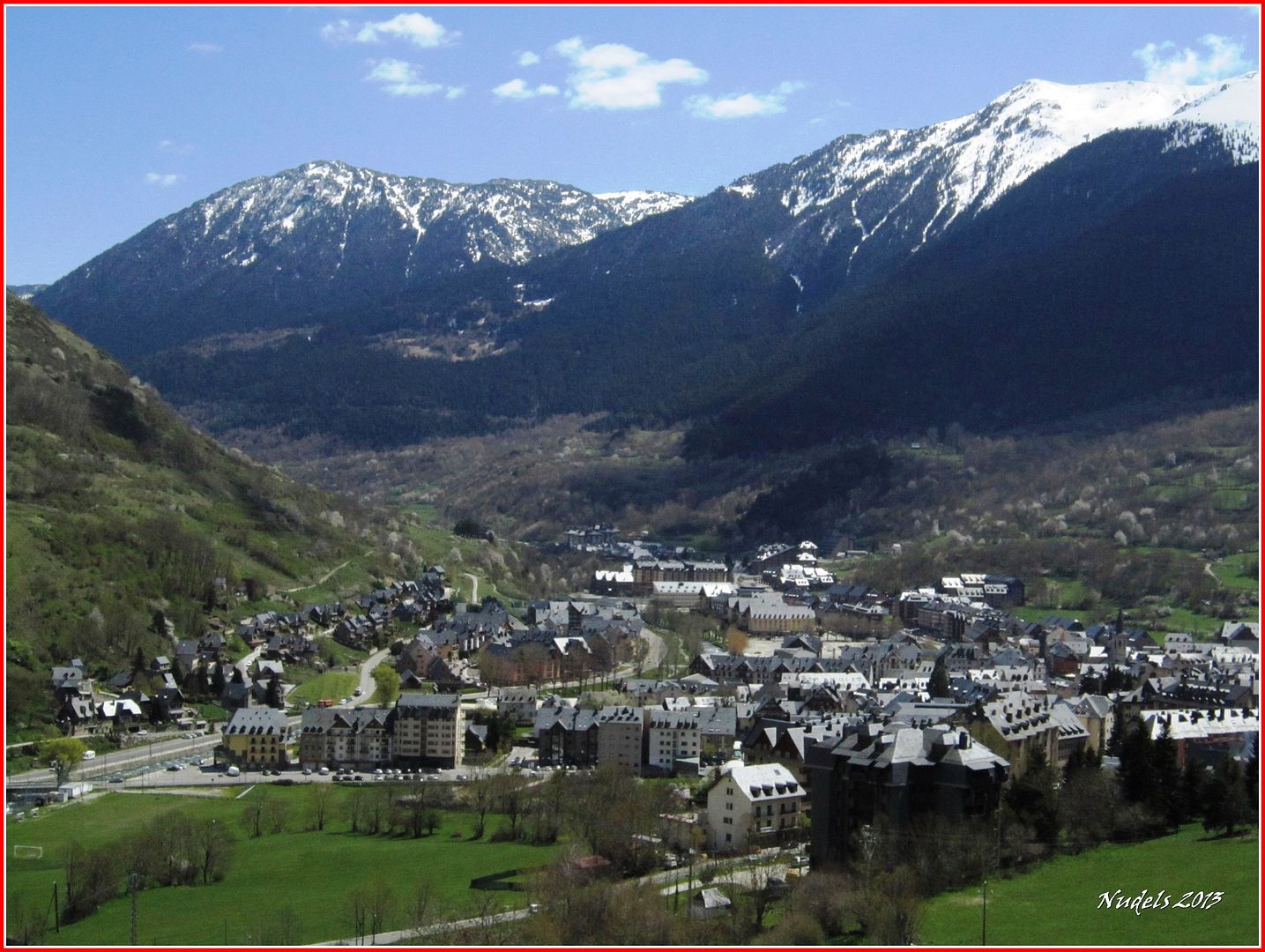
13h59: Bonita instantánea de Vielha.
14h05: Y bueno yo creo que he cumplido, al fondo la montaña y detrás de la cámara un tipo muy cansado pero también muy satisfecho.