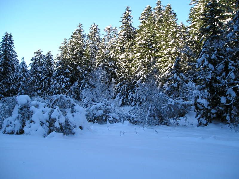
martes, 25 de enero de 2005

Corriendo hacia el Portillón.

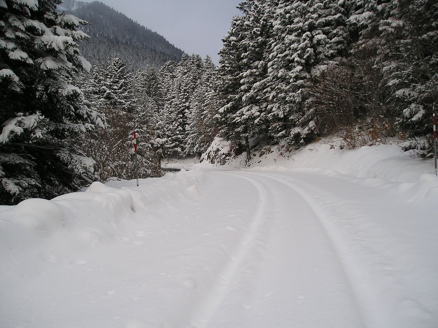
15h22: Inicio de la carrera la calzada está llena de nieve y para no resbalar llevo unos antideslizantes en las zapatillas, el tráfico está cortado y en el letrero amarrillo que tengo delante también informan que la parte francesa está cerrada por obras, tengo que recorrer algo más de 8 km., de subida y luego de bajada en total poco más de 16 km., que más puedo pedir...
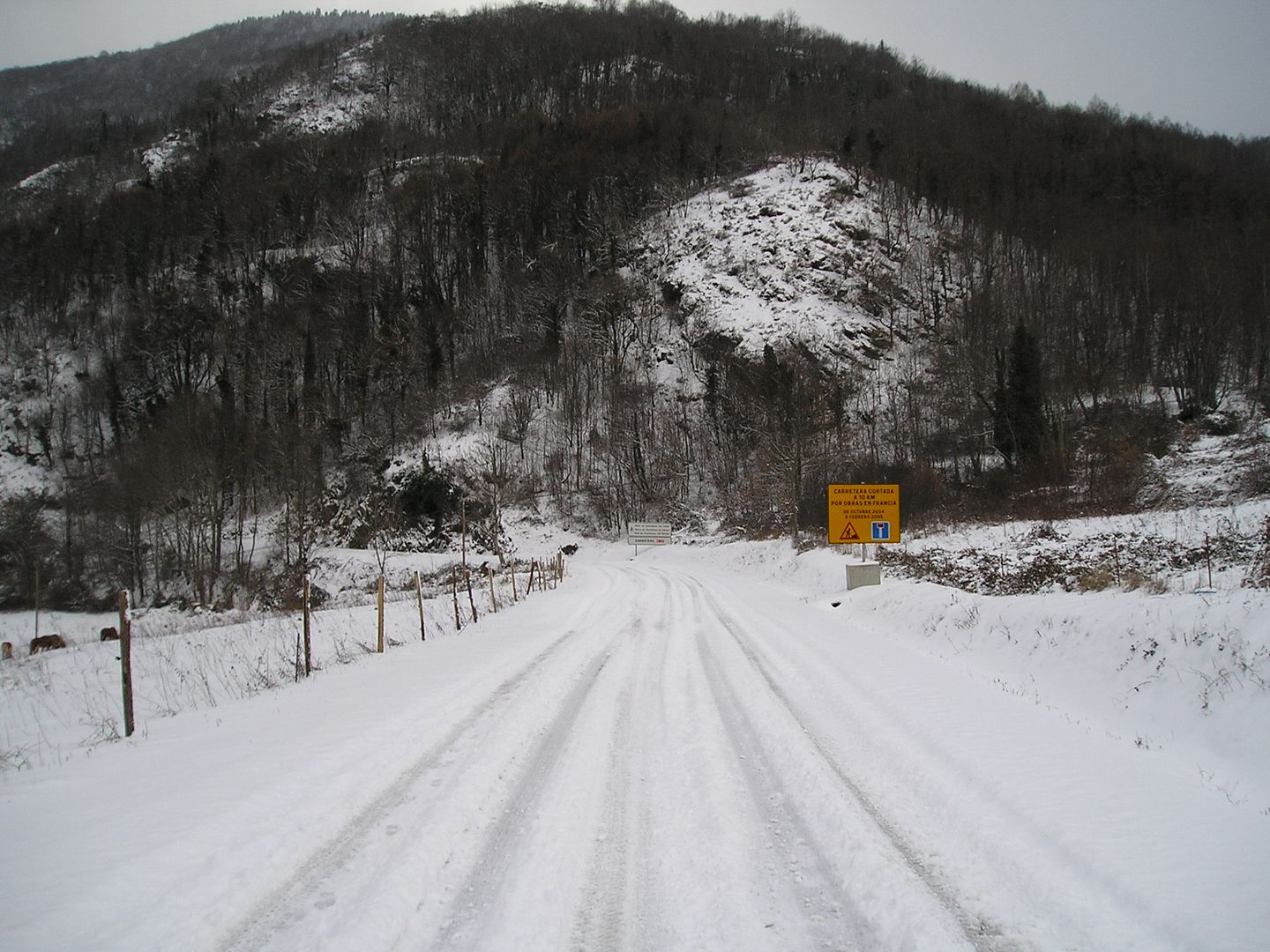
Photo Sharing and Video Hosting at Photobucket

15h58: Cerca del primer kilómetro una mira hacia atrás, voy aprovechando las "rodadas" que ha dejado un vehículo.
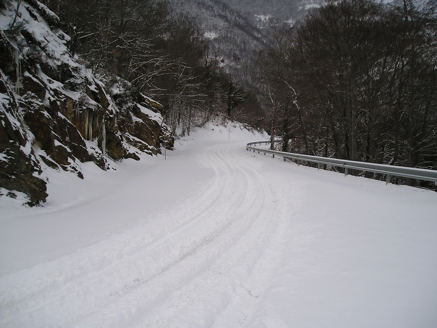
Photo Sharing and Video Hosting at Photobucket

15h58: Llego al mirador cerca del kilómetro 4,300 voy con fuerzas...
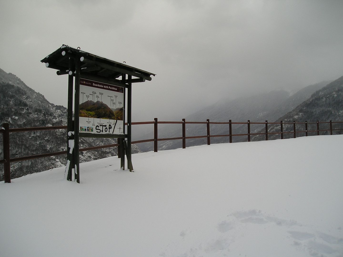
Photo Sharing and Video Hosting at Photobucket

15h58: ...pero voy a pararme para tomar unas instantáneas.
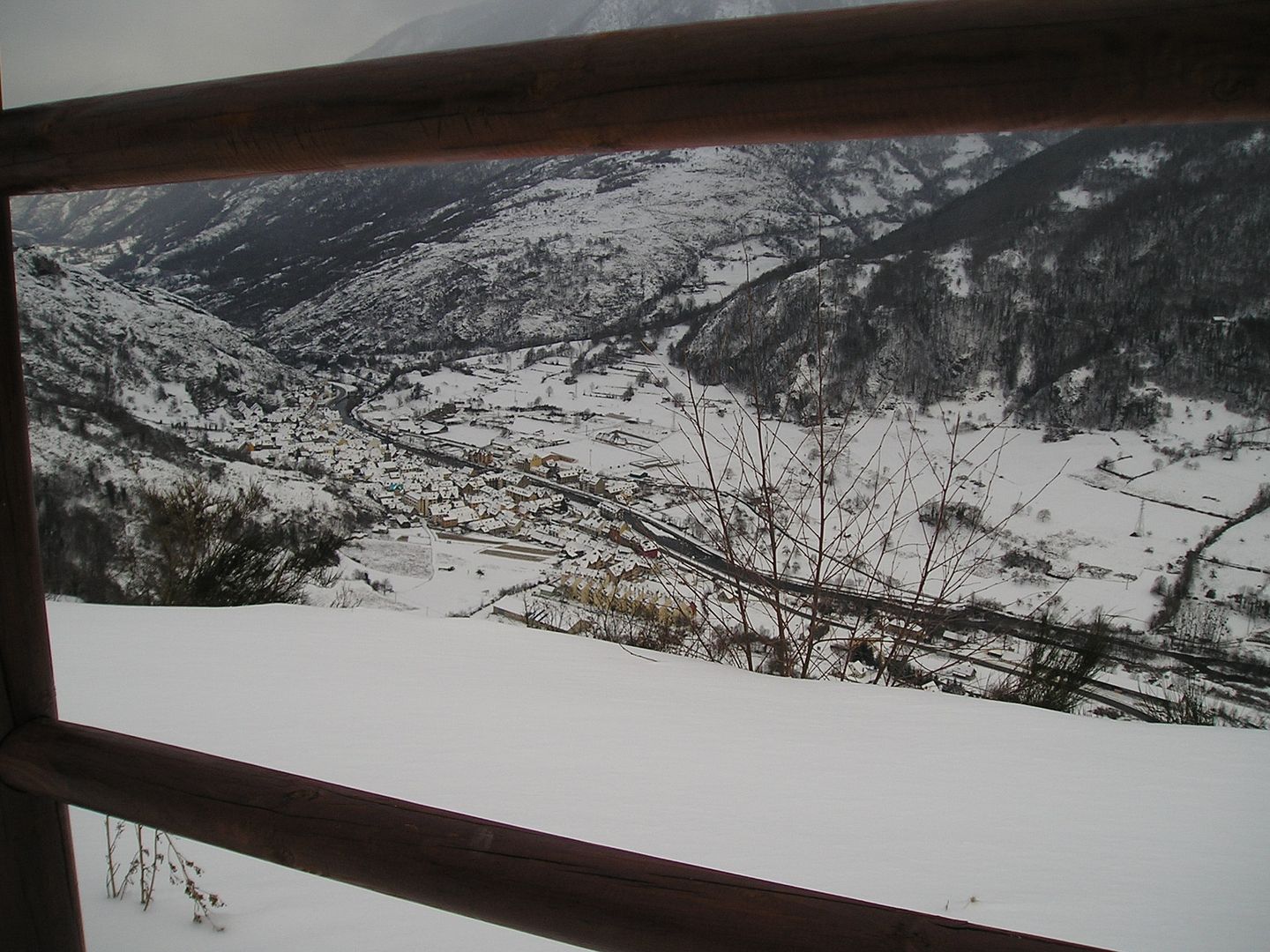
Photo Sharing and Video Hosting at Photobucket

15h58: Desde aquí tengo una vista privilegiada del pueblo de Bossòst.
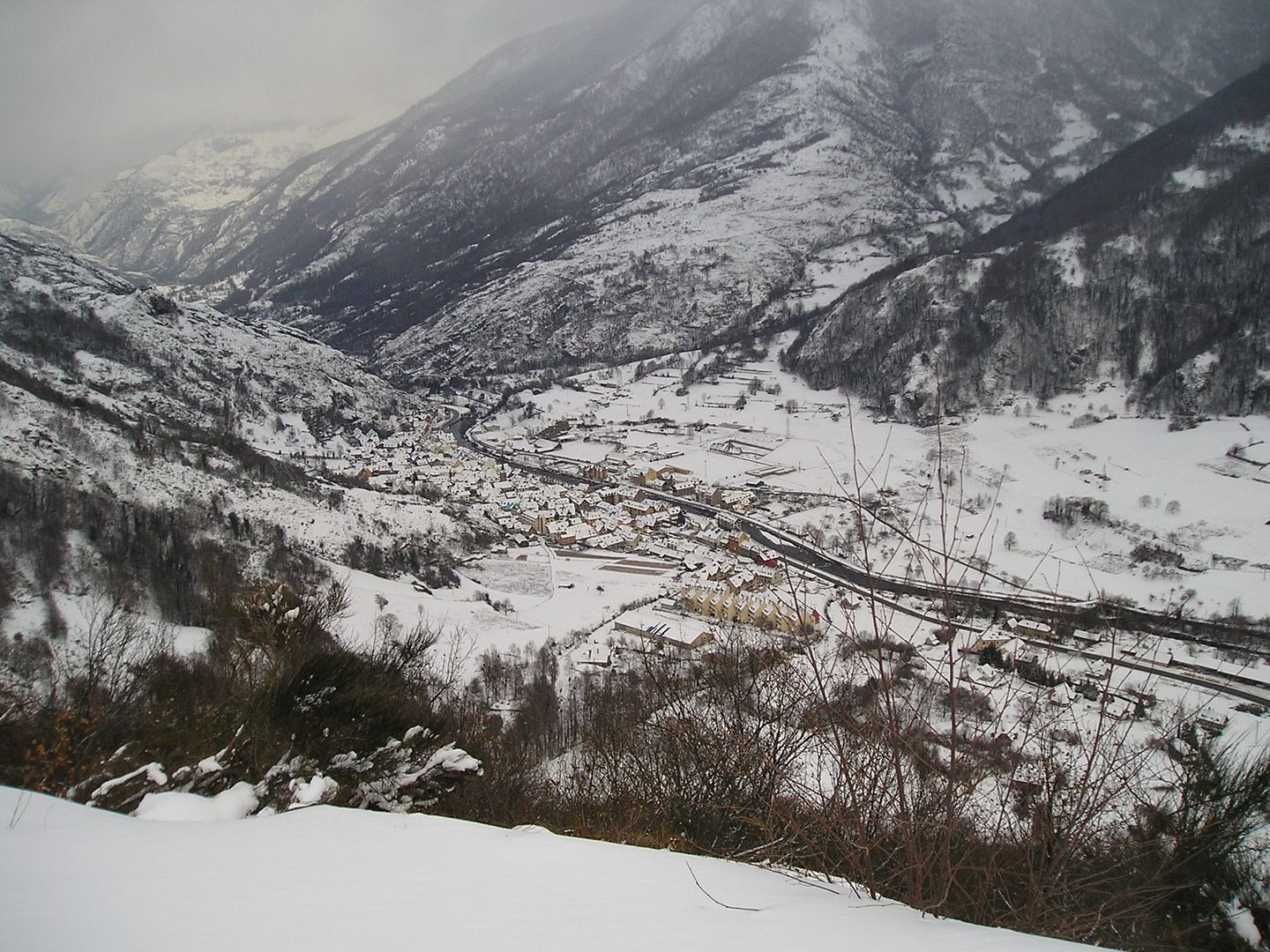
Photo Sharing and Video Hosting at Photobucket

15h58: Otra mirada hacia el Este, el Montcorbison y el Letassi están tapados por las nubes.
Photo Sharing and Video Hosting at Photobucket

16h00: Y una fotografía testimonial...
Photo Sharing and Video Hosting at Photobucket

16h01: ...y otra.
Photo Sharing and Video Hosting at Photobucket

16h01: Y ahora mirando hacia otro lado.
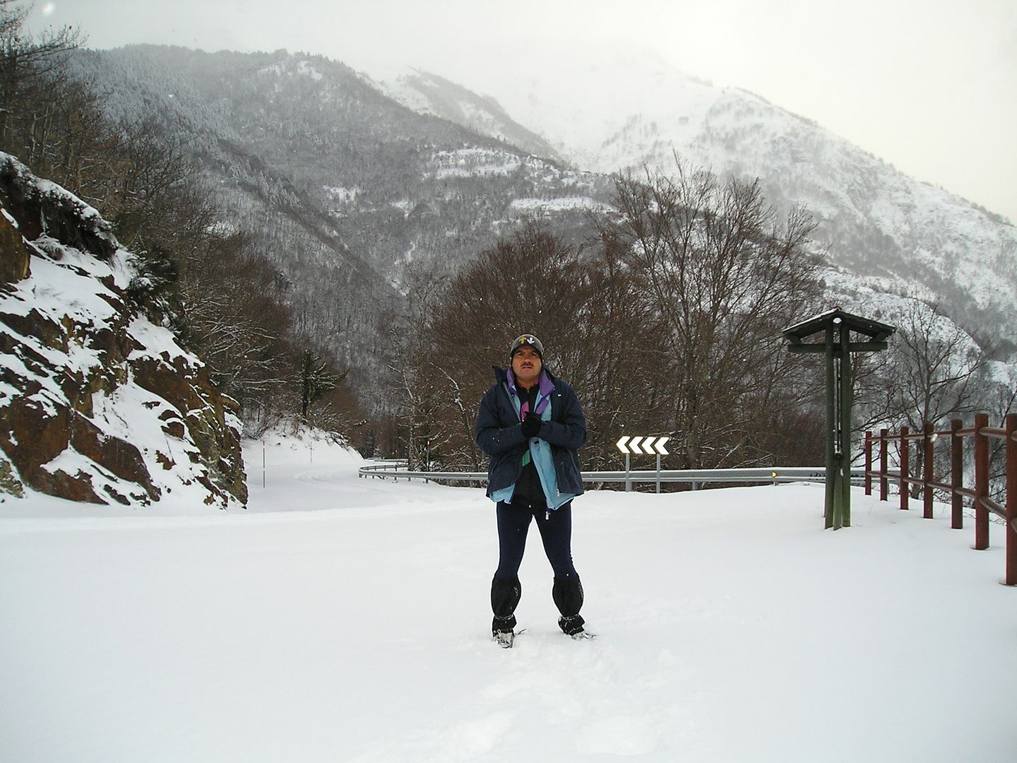
Photo Sharing and Video Hosting at Photobucket

16h03: Con el fondo de La Trona y el Tuc d'Aubàs.
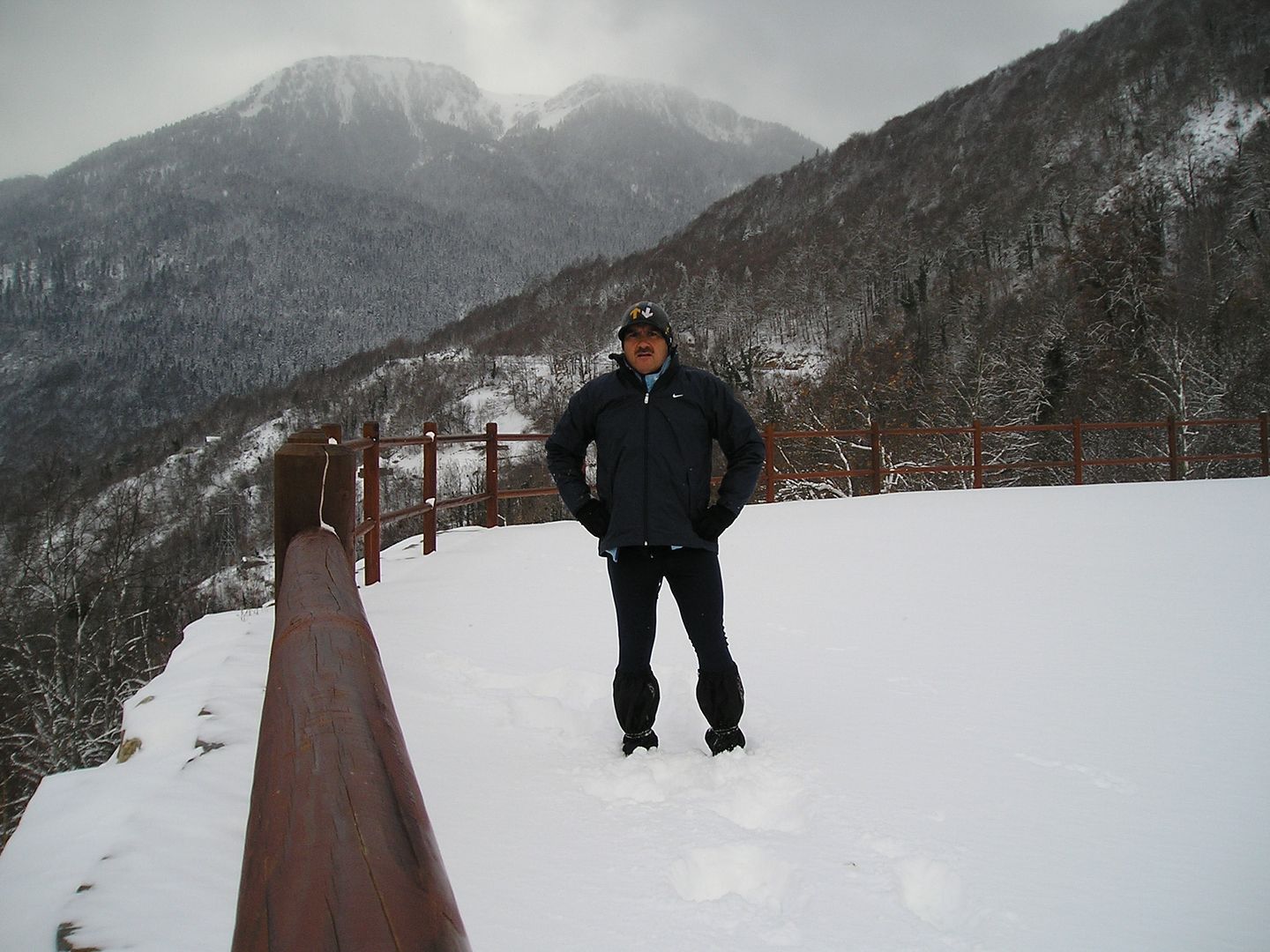
Photo Sharing and Video Hosting at Photobucket

16h03: Pero ahora tengo que continuar con la carrera.
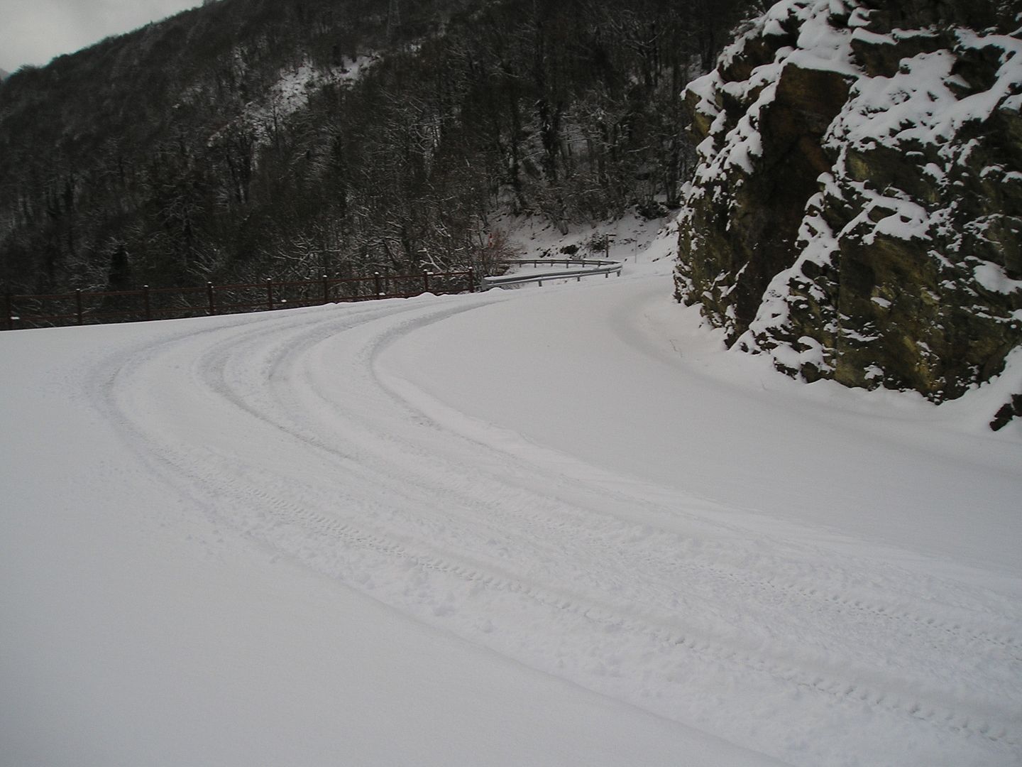
Photo Sharing and Video Hosting at Photobucket

16h10: Otra mirada atrás ahora estoy quizás en la parte con mayor desnivel.
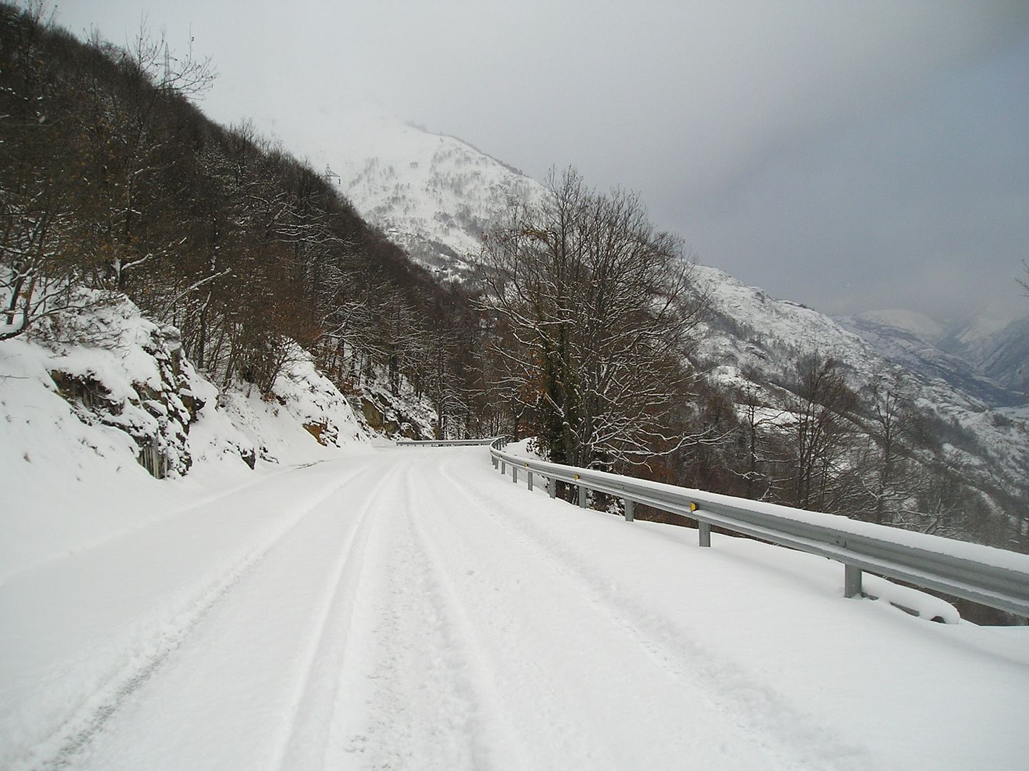
Photo Sharing and Video Hosting at Photobucket

16h11: Cerca del kilómetro 5 ¡¡¡ ya falta menos!!!.
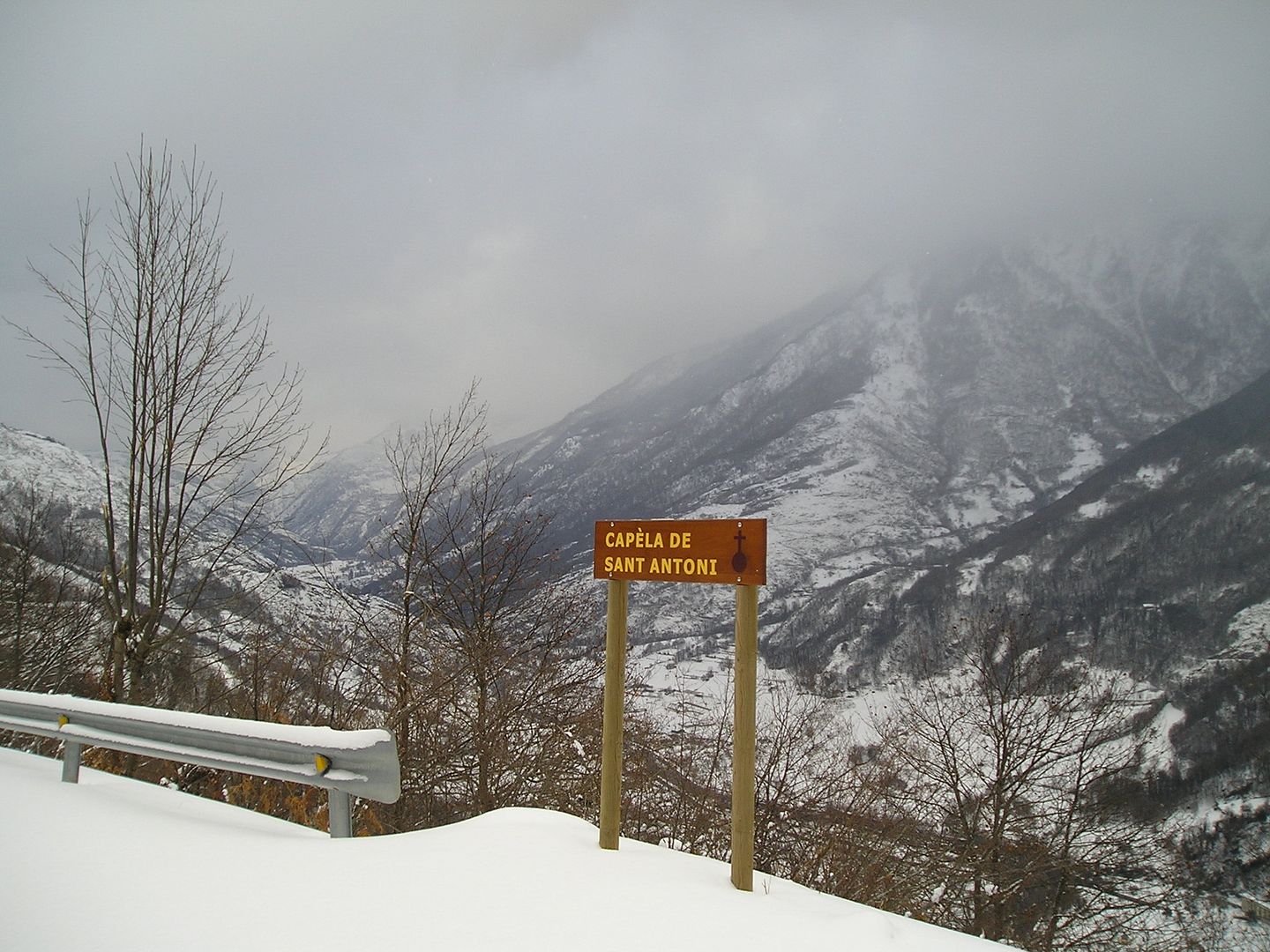
Photo Sharing and Video Hosting at Photobucket

16h24: Cerca del kilómetro 6.
Photo Sharing and Video Hosting at Photobucket

16h34: Creo que ya he superado el kilómetro 7 esto va bien.
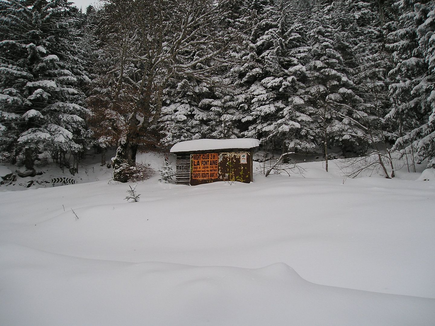
Photo Sharing and Video Hosting at Photobucket

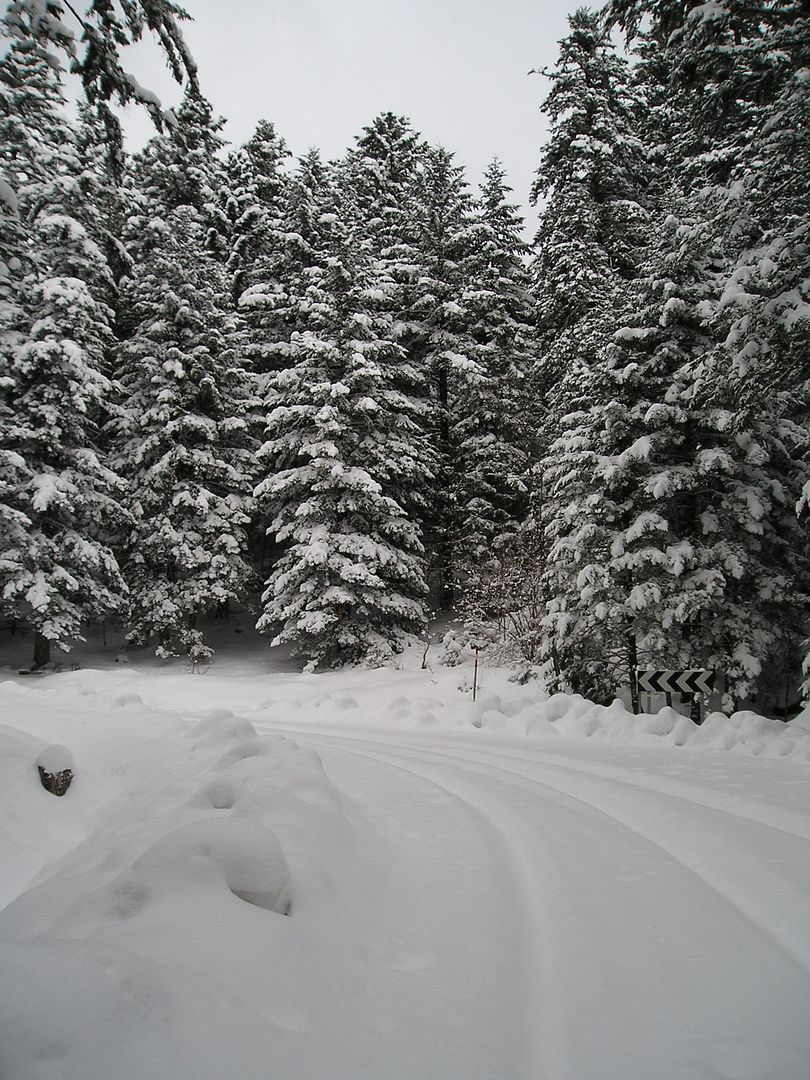
16h43: Unas cuantas curvas...
Photo Sharing and Video Hosting at Photobucket

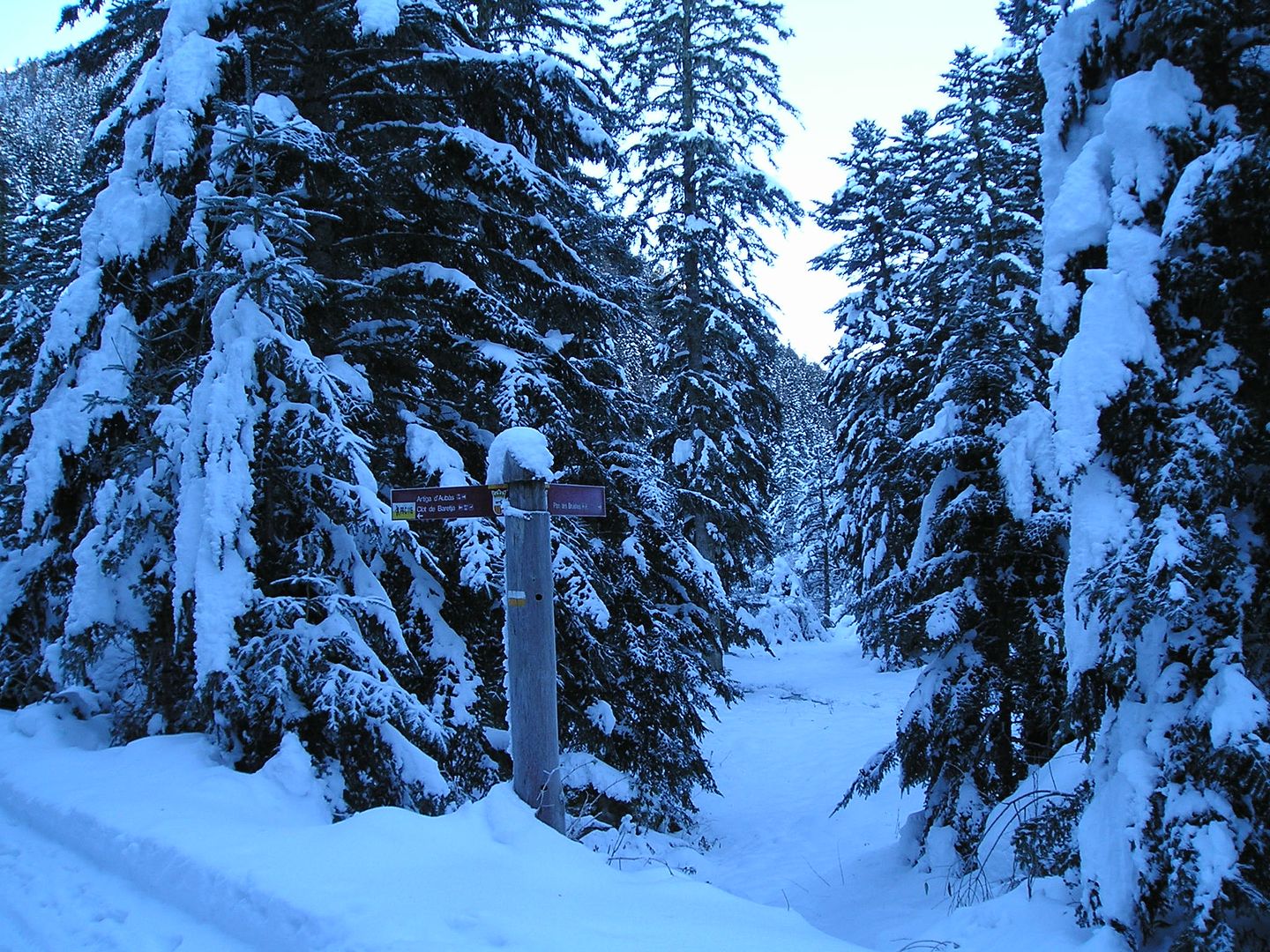
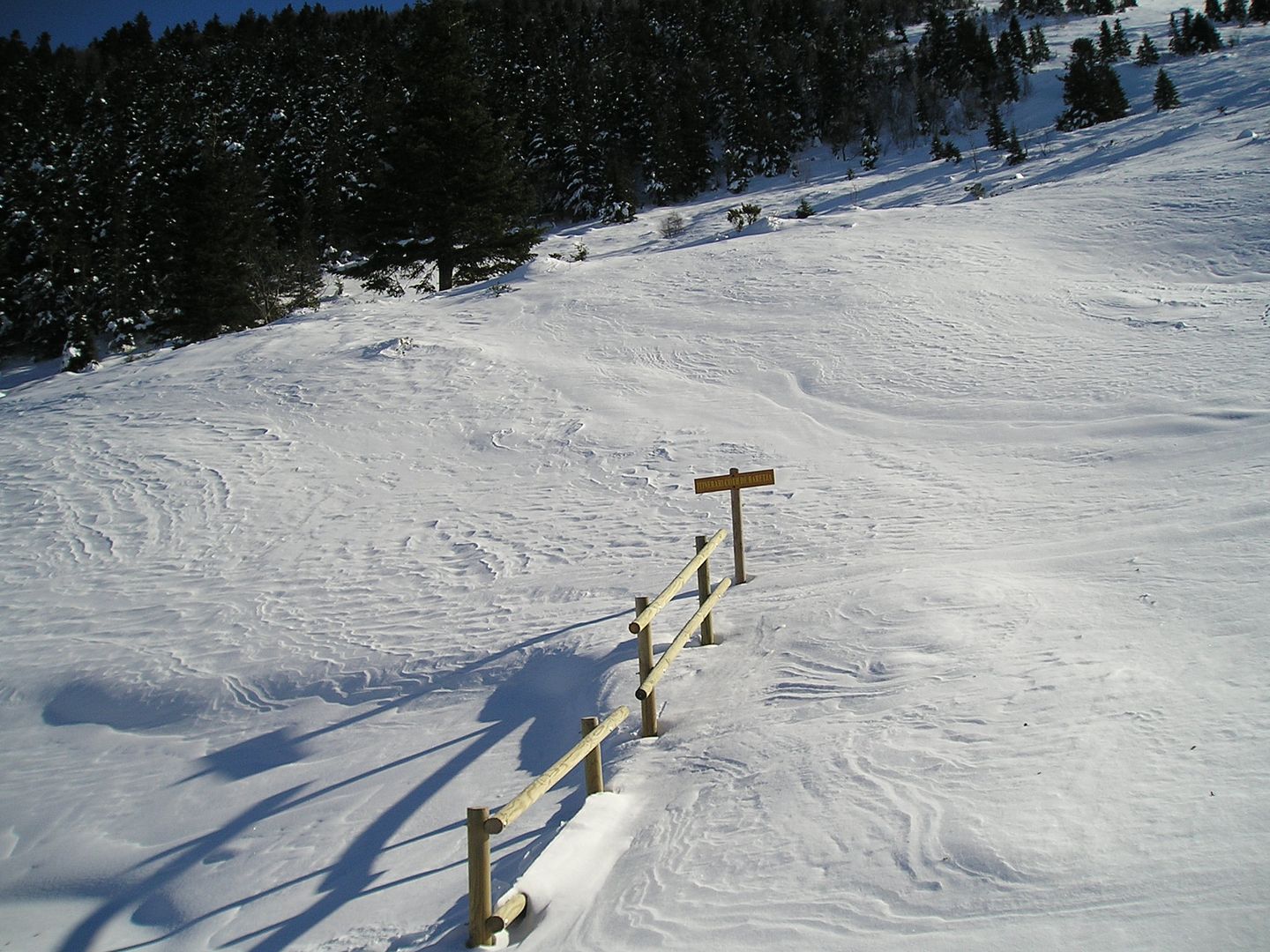
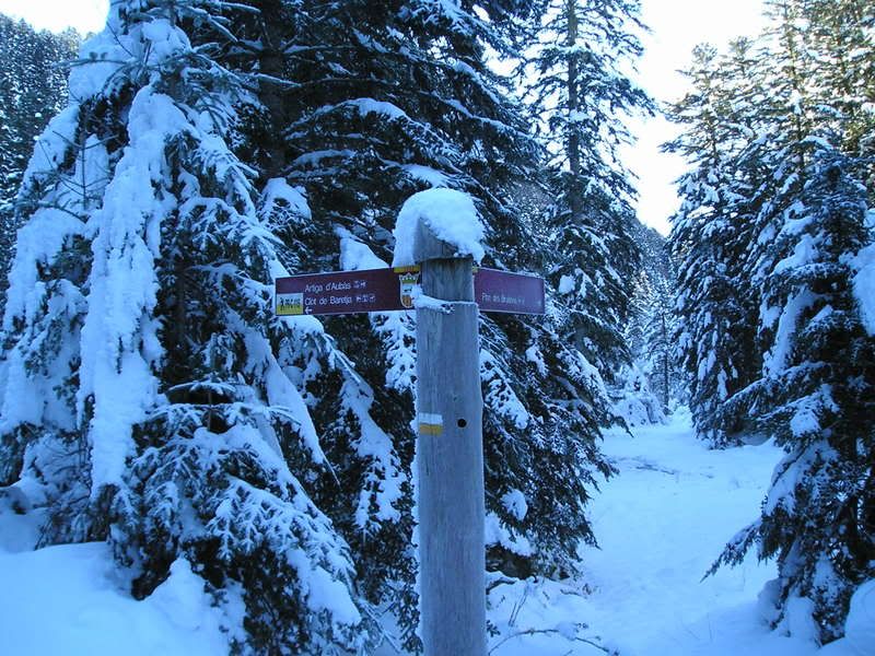
16h45: Ya veo el cruce de la pista forestal que lleva al Clot de Baretja.
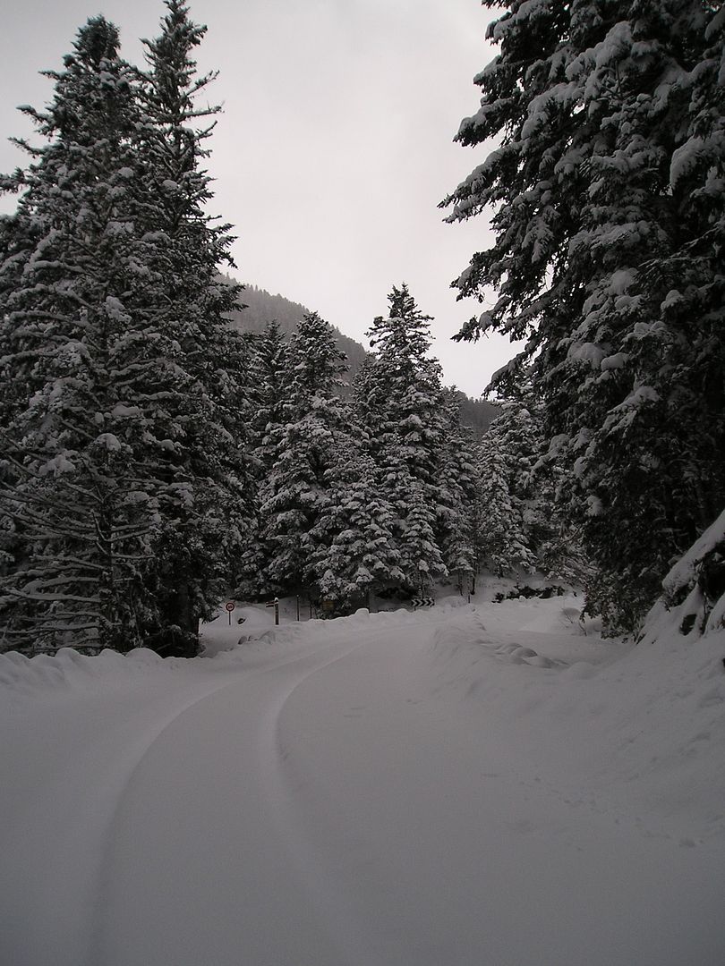
Photo Sharing and Video Hosting at Photobucket

16h47: Llego al kilómetro 8 me quedan unos 300 metros para llegar al puerto.
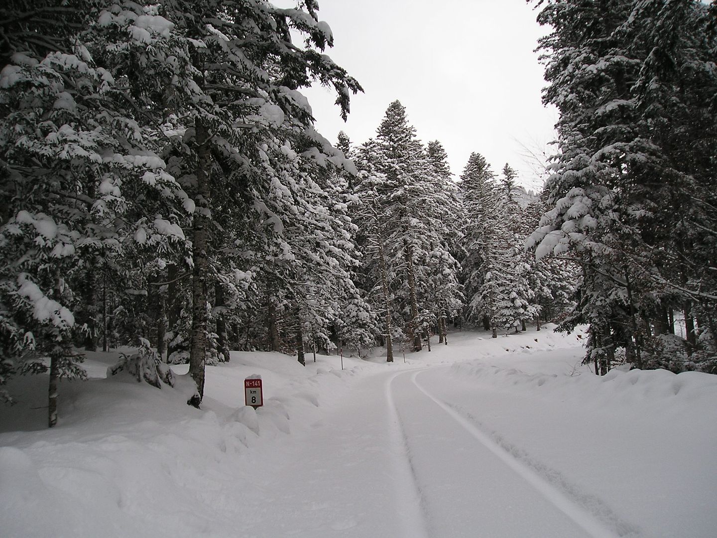
Photo Sharing and Video Hosting at Photobucket

16h50: Bueno, bueno, bueno ya he llegado al Portillón, Portilló o Portilhon.
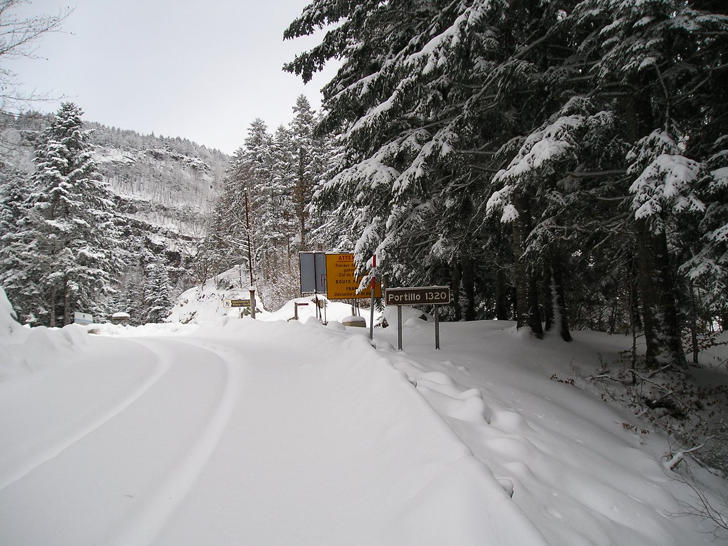
Photo Sharing and Video Hosting at Photobucket

16h51: Y la foto justificativa he tardado más de una hora y media con alguna parada, lejos del tiempo que hago en verano pero no está nada mal teniendo en cuenta el retraso y el esfuerzo que supone correr con la carretera llena de nieve.
Photo Sharing and Video Hosting at Photobucket

domingo, 21 de noviembre de 2004

TUC DE BACIVER (2.644 m.) INTENTO FUSTRADO.

SITUACIÓN: Provincia de Lleida -Comarca del Valle de Aran- Saliendo de Vielha por la C-28 hasta Baqueira (15 km.) coger el desvío de Beret (8km.) y antes de llegar a dos kilómetros giramos a la derecha al parquin gratuito de Orri, ( 1 km.) se puede acceder con vehículo turismo.

Nota: Los nombres toponímicos pueden estar escritos, inopinadamente, en castellano, catalán o aranés, ejemplo: Tuca de Basiber , de Vacivèr, Tuc de Baciver.

Comienza el itinerario ya con las raquetas, esta ascensión es diferente a los que la hacen con esquís de travesía que pueden ir más ligeros, incluso variando el itinerario, hay que tener en cuenta que al ir andando los dos últimas collados con la inclinación y la nieve te puede complicar la marcha. Subí, subí y subí por la eterna pala, pero tenía que haberlo hecho por la cresta porque casi al final las raquetas deslizaban y era imposible continuar, así que tir é para abajo porque ya tenía una buena excusa para volver.

DATOS:
10:45 h.: Salida del parquin de Orri.
13:11 h.: Lac Rosari de Baciver.
16:15 h.: Regreso parquin de Orri.

Ver reseña actualizado el 31-12-07.

-------------------------------------------------------------------------------------------------
12h:04' Hace un tiempo que he salido del parquin de Orri situado en la estación invernal de Baquiera - Beret al principio es desnivel es escaso y voy siguiendo la marca sobre la nieve.
Photo Sharing and Video Hosting at Photobucket

12h50' A lo lejos veo el itinerario de Escornacrabes (donde se descuernan las cabras) interesante pista (itinerario) de la estación invernal y también se ve una parte del Cap de Baqueira.
Photo Sharing and Video Hosting at Photobucket

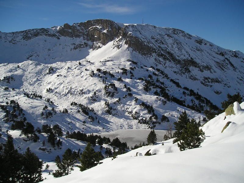
12h52' Subiendo un poco más debajo se divisa el lac de Baciver.
Photo Sharing and Video Hosting at Photobucket

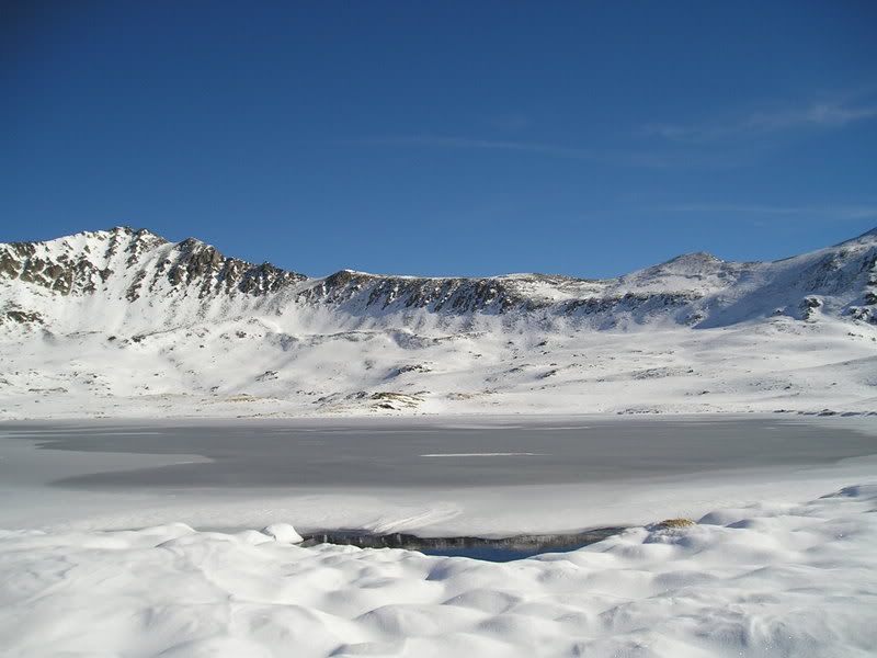
13h08' Llego al lac Rosari de Baciver.
Photo Sharing and Video Hosting at Photobucket

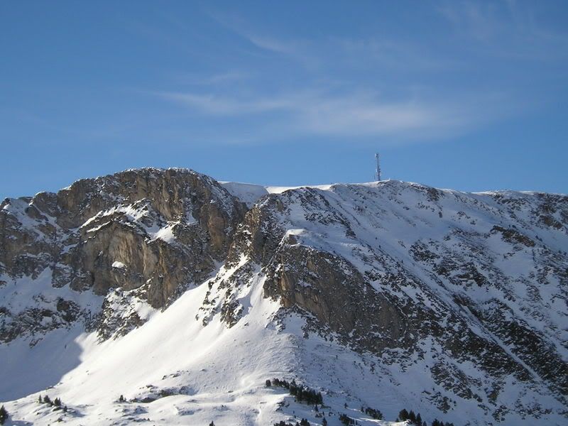
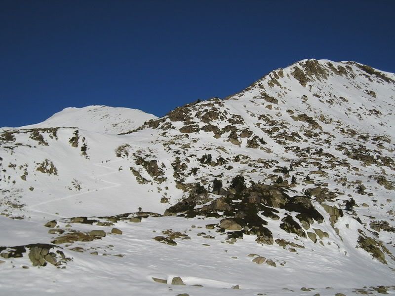
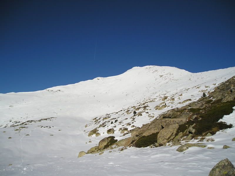
13h10' Ya veo mi objetivo el Tuc de Baciver, aquel del fondo cubierto de nieve.
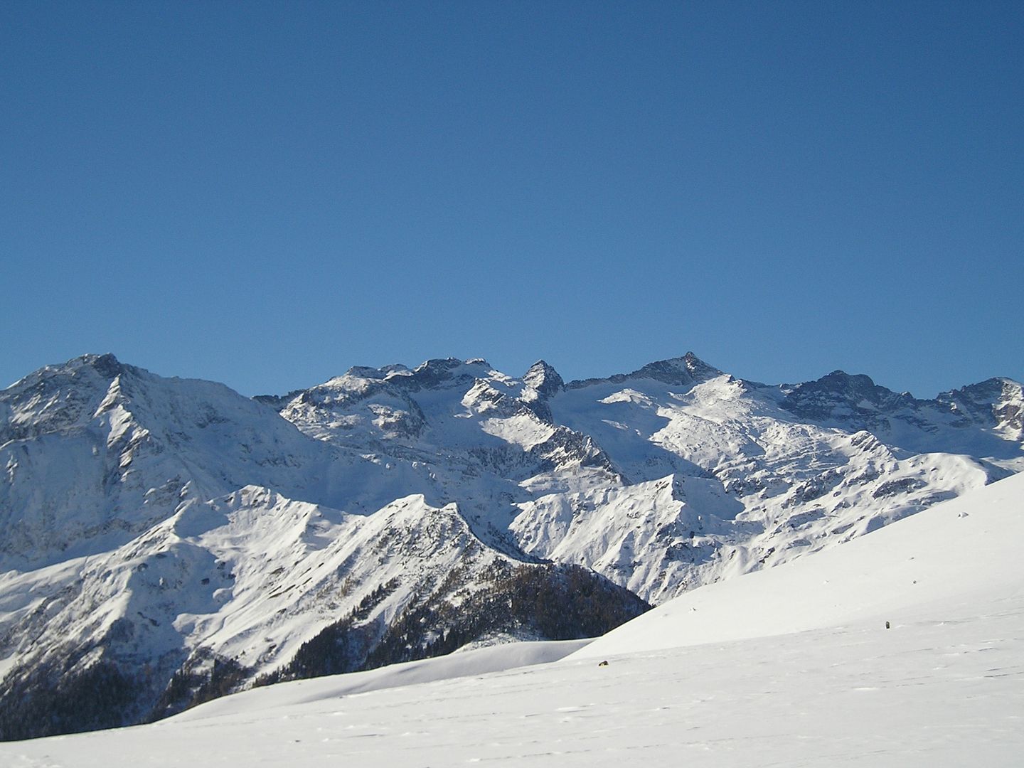
Photo Sharing and Video Hosting at Photobucket

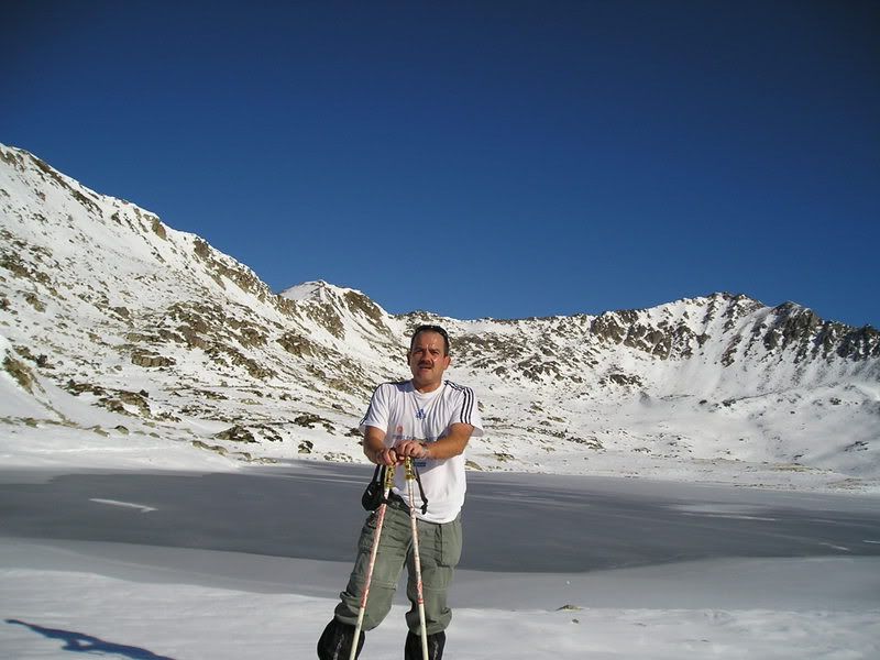
13h11' He preparado la cámara en automático y captura una fotografía con el lac Rosari de Baciver detrás.
Photo Sharing and Video Hosting at Photobucket

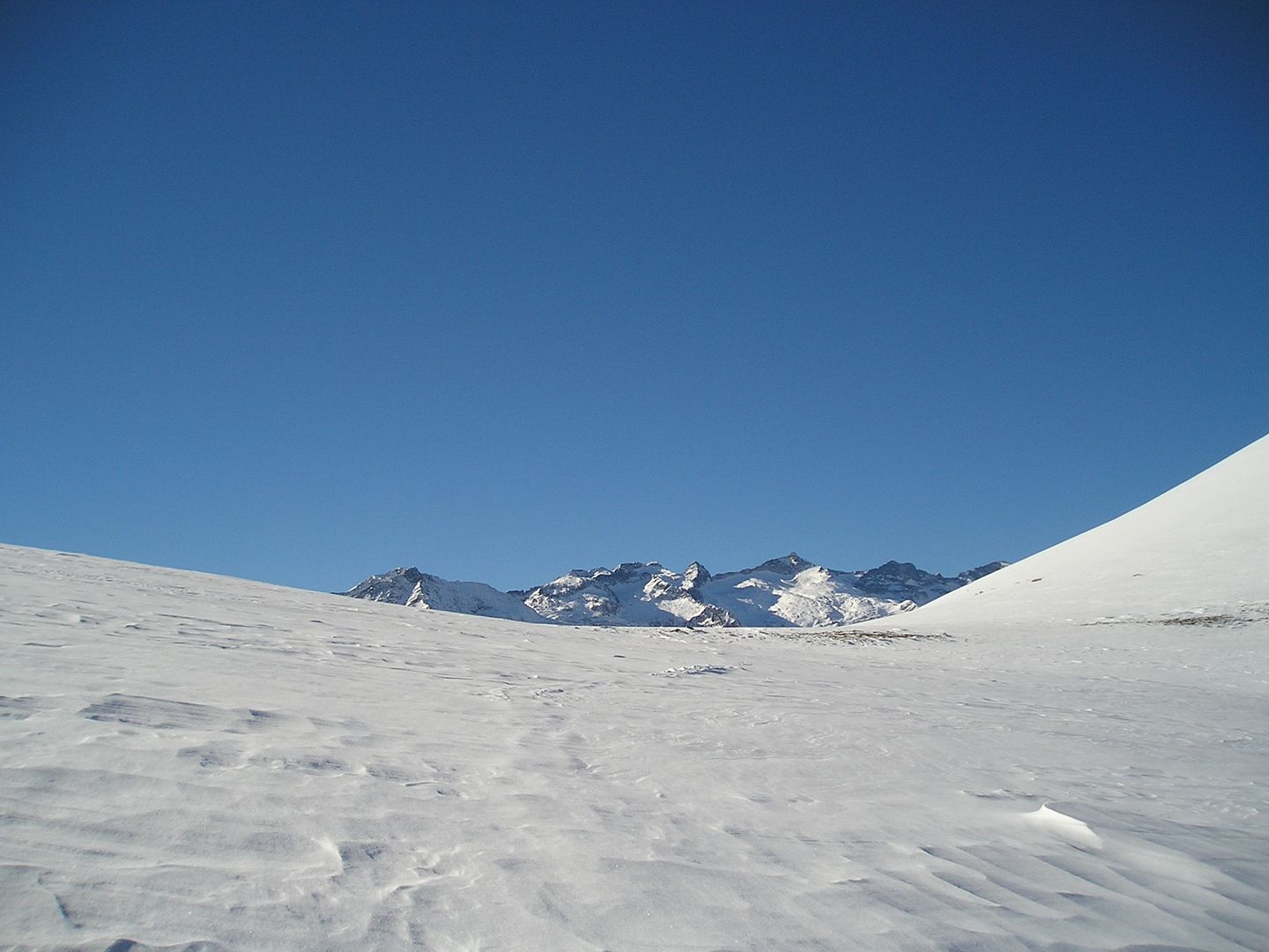
13h15' La vistas hacia las Maladetas son magníficas.
Photo Sharing and Video Hosting at Photobucket

13h17' Voy ascendiendo y esto es lo que voy dejando detrás.
Photo Sharing and Video Hosting at Photobucket

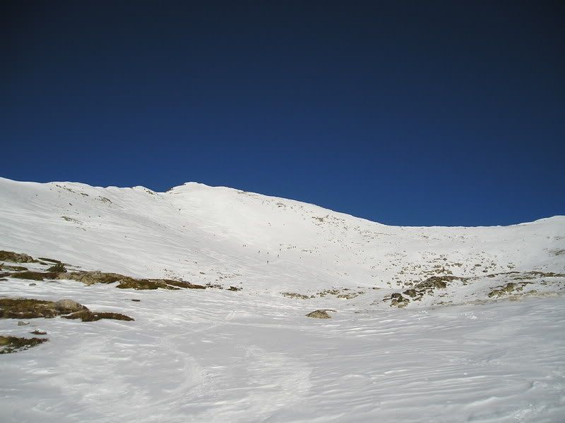
13h:38' Tengo el Tuc de Baciver cadavez más cerca pero me costará un buen rato subir hasta arriba.
Photo Sharing and Video Hosting at Photobucket

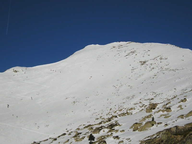
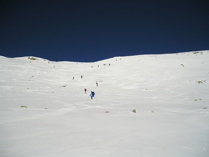
13h38' Veo a muchos montañeros con esquís de travesía que están subiendo por la pala principal.
Photo Sharing and Video Hosting at Photobucket

13h52' Una toma más cercana.
Photo Sharing and Video Hosting at Photobucket

14h37' Subí, subí y subí por la eterna pala, pero tenía que haberlo hecho por la cresta porque casi al final las raquetas deslizaban y era imposible continuar, así que tiré para abajo porque ya tenía una buena excusa para volver.
Photo Sharing and Video Hosting at Photobucket

15h00' Quiero volver por otro itinerario siguiendo las marcas de las huellas que dejan los esquís para hacer la ruta circular, al final me lio y la bajada no fue todo lo placentera que deseaba ya que tuve que quitarme varias veces las raquetas al tener que pasar por zonas de compromiso.
Photo Sharing and Video Hosting at Photobucket

15h07' Ahora el Tuc de la Llança al fondo, veo y itinerario por donde he subido cerca de lac Basiver.
Photo Sharing and Video Hosting at Photobucket

15h12' A la derecha de esos abetos se ve la explanada del parquin de Orri, mi lugar de partida.
Photo Sharing and Video Hosting at Photobucket

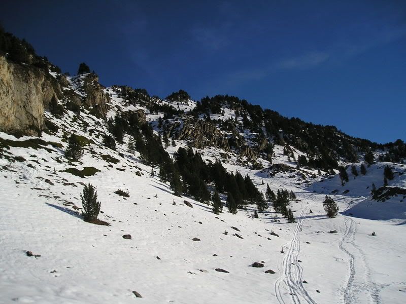
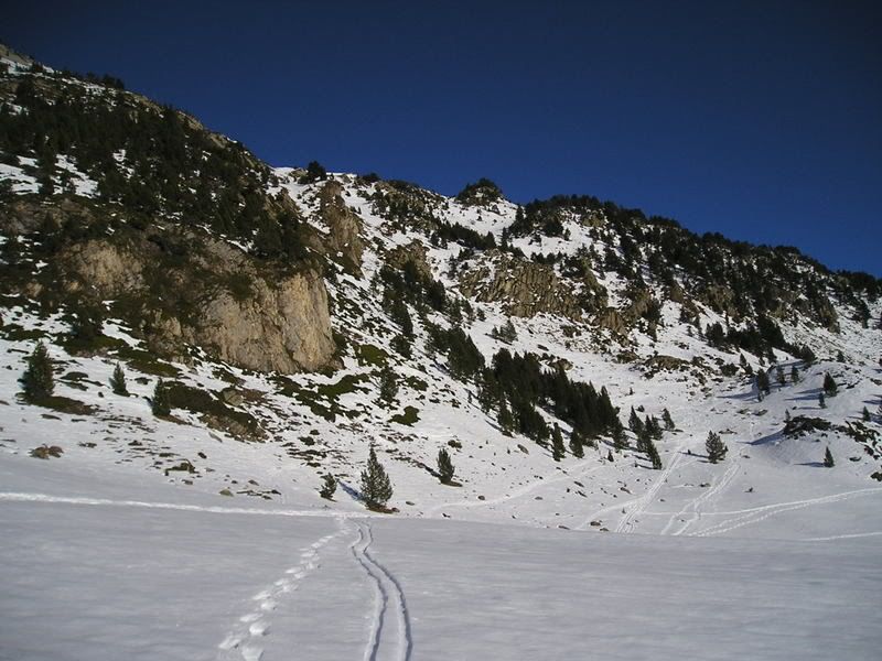
16h05' Bueno ya casi he terminado, por aquí más o menos siguiendo las huellas es por donde he subido y regresado.
Photo Sharing and Video Hosting at Photobucket

miércoles, 17 de noviembre de 2004

Muga 356 en el Còth de Baretja ascensión con raquetas.


Partiendo del Portilhón de Bossòst por la pista forestal con más de 6 km., por delante empleando las raquetas hasta el Clot de Baretja (Còth de Bareia) para alcanzar la muga 356 y dar un paseo por ese bonito lugar.

OBSERVACIONES Y CURIOSIDADES : 
Mejor llevar el agua para todo el trayecto.
Telefonía móvil: Con cobertura Movistar.
Fotografía: Instantáneas capturadas con una cámara digital OLYMPUS Camedia de 3.2 Megapixel.

© nudels Tots els drets reservats


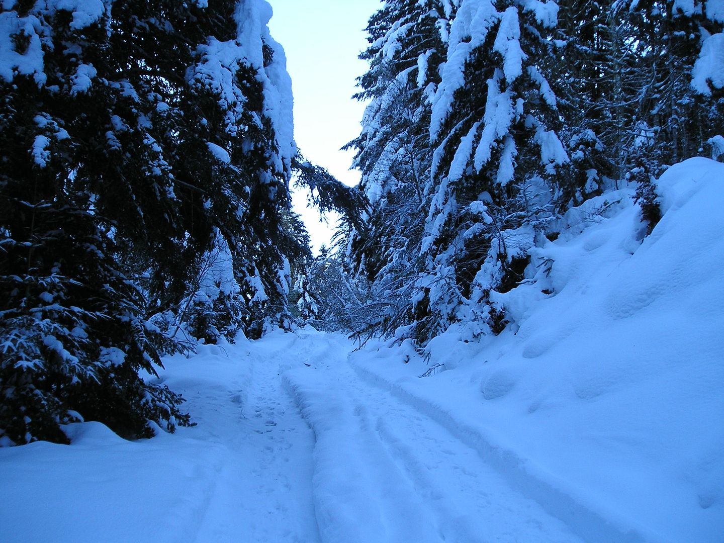
11h18: Empiezo por la pista forestal me espera una larga y plácida subida.
Photo Sharing and Video Hosting at Photobucket

11h23: Llego a la altura del Plan des Bruishes que dejo a la derecha (Oeste).
Photo Sharing and Video Hosting at Photobucket

11h59:  Sigo por la pista.
Photo Sharing and Video Hosting at Photobucket

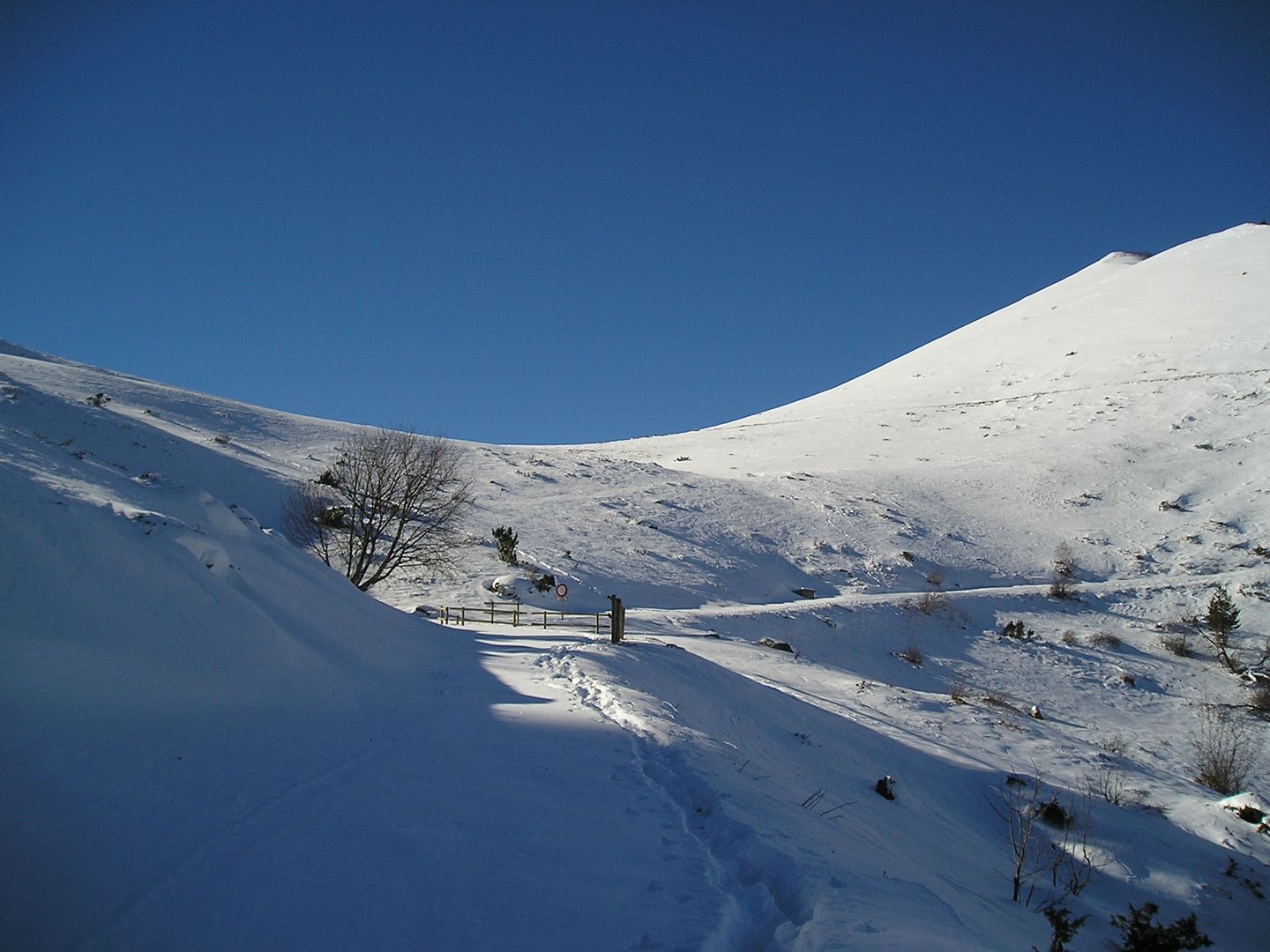
12h23: Tengo que subir al collado.
Photo Sharing and Video Hosting at Photobucket

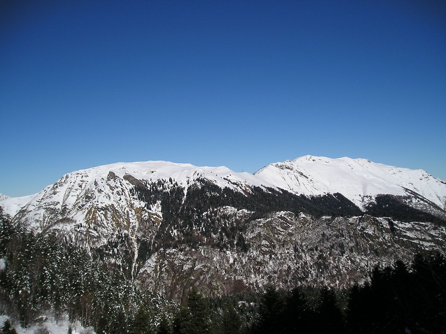
12h24: A mi espalda, hacia el Sur, otra parte del cordal fronterizo.       Photo Sharing and Video Hosting at Photobucket

12h38: Estoy llegando al Còth de Baretja.       Photo Sharing and Video Hosting at Photobucket

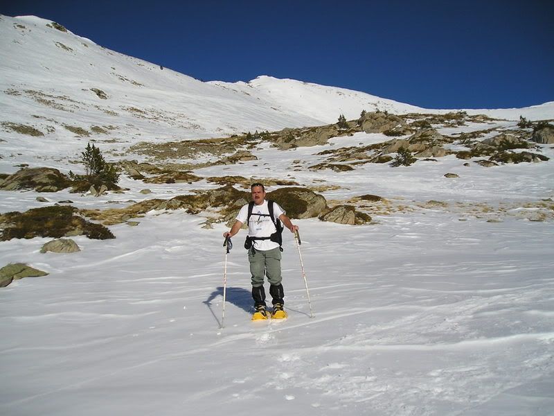
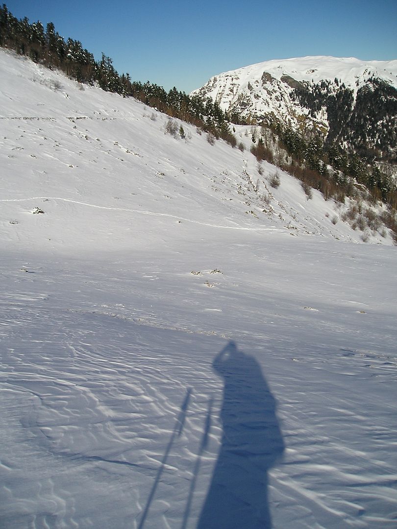
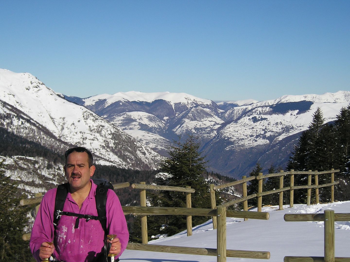
12h38: Autorretrato, también observo mi trazada.
Photo Sharing and Video Hosting at Photobucket

12h38: A la derecha (Este) el Tuc deth Plan dera Serra (1.978 m.)      Photo Sharing and Video Hosting at Photobucket

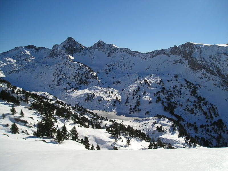
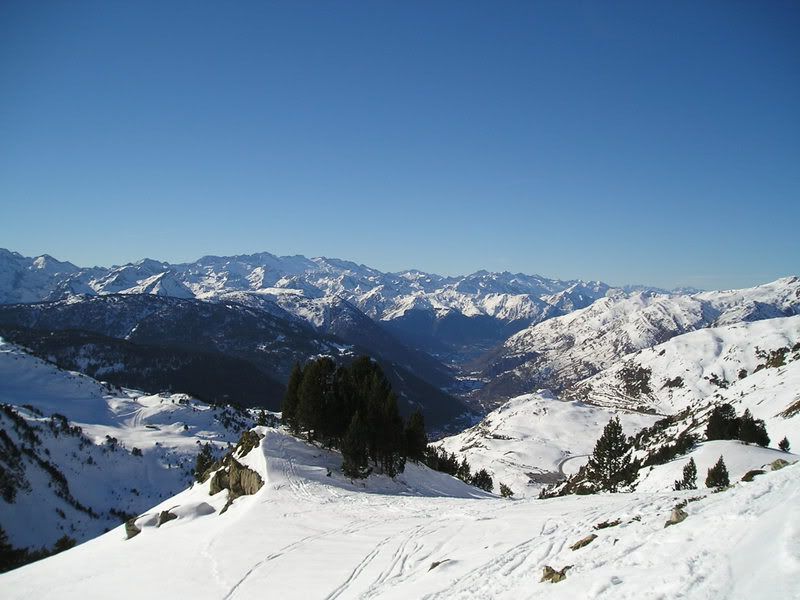
12h42: La panorámica es impresionante.
Photo Sharing and Video Hosting at Photobucket

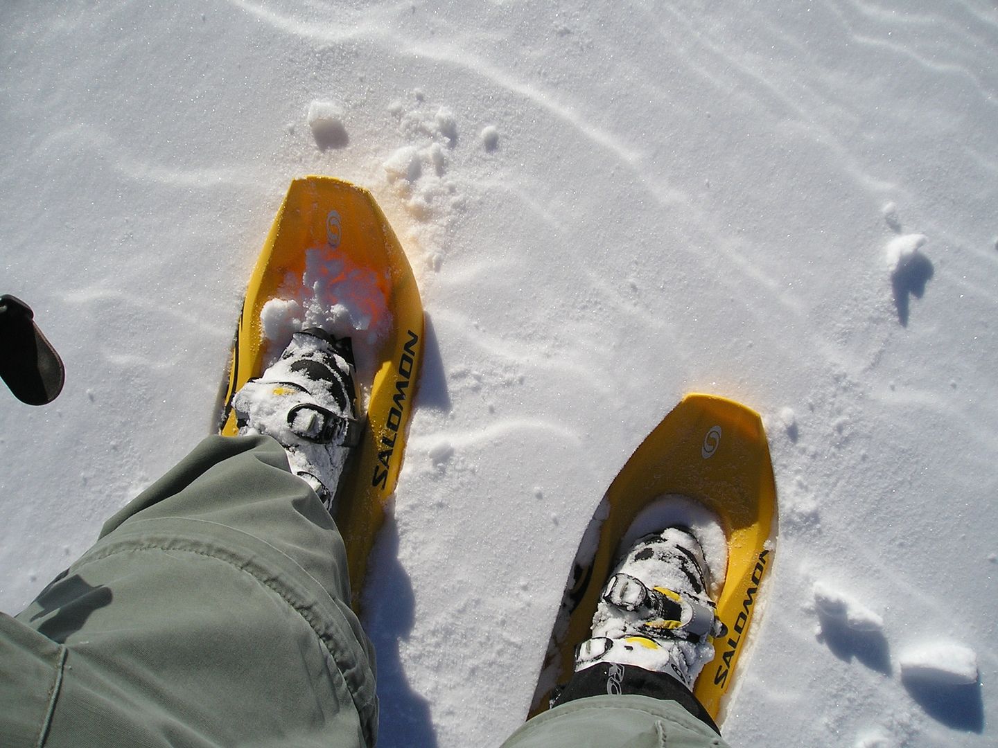
12h43: El material utilizado.
Photo Sharing and Video Hosting at Photobucket

12h45: Una mirada atrás.
Photo Sharing and Video Hosting at Photobucket

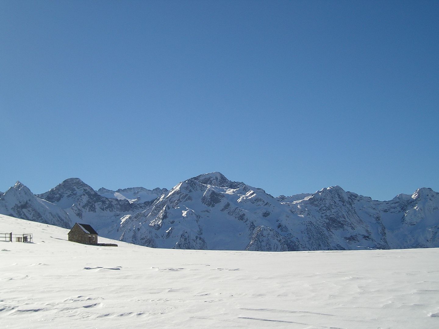
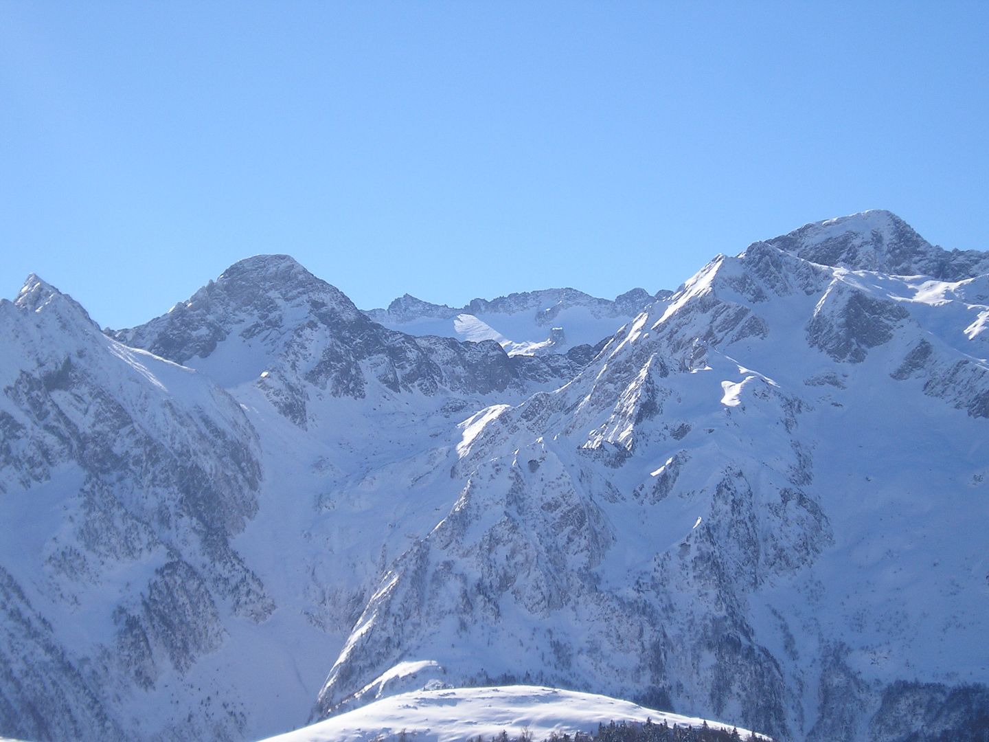
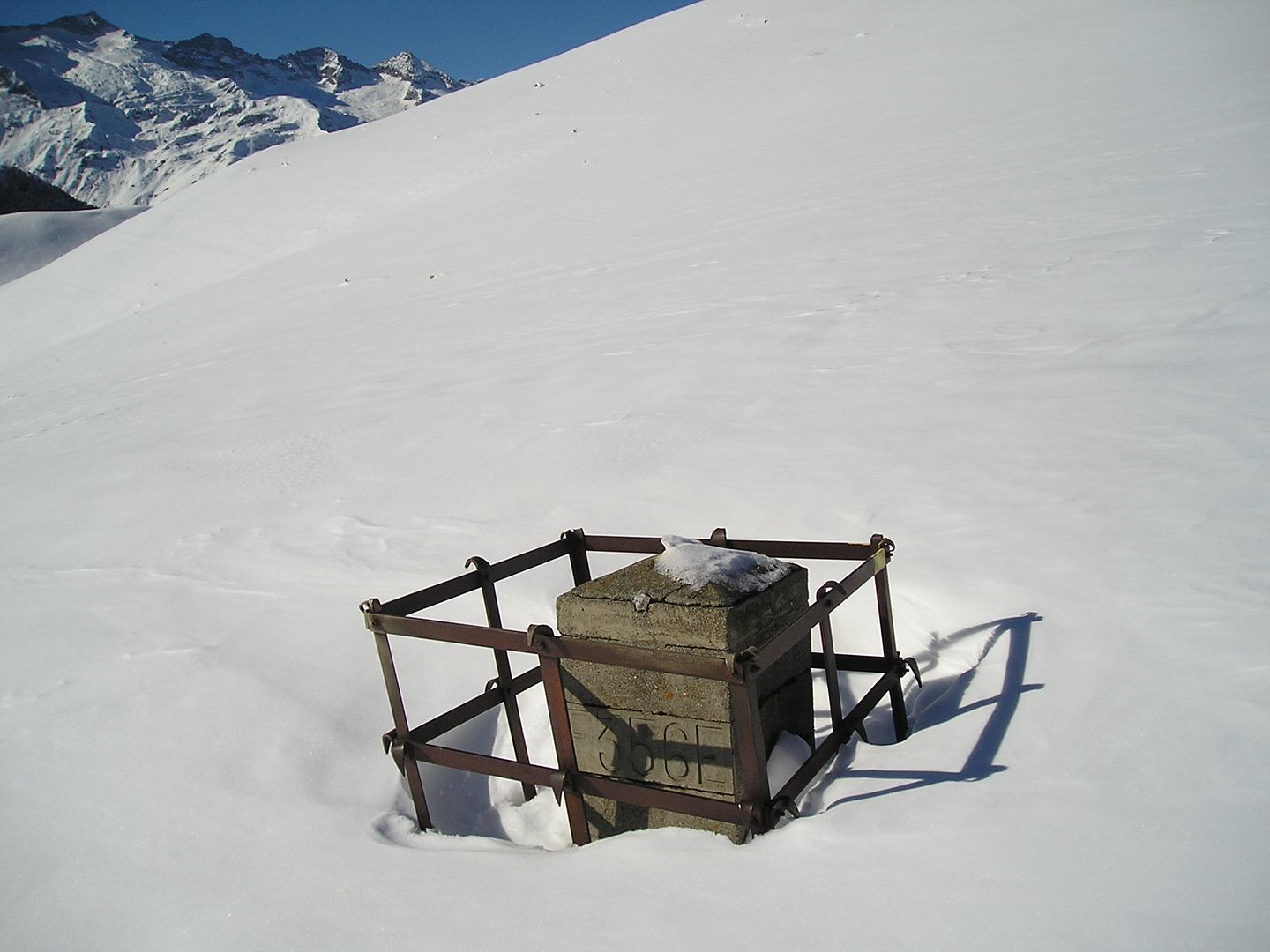
12h46: Algunos de los tres miles del Luchonés, semioculta en la nieve está la muga 356.
Photo Sharing and Video Hosting at Photobucket

12h48: Un detalle del Pico de La Mina, la subida al Port de Venasque y el Salbaguardia.
Photo Sharing and Video Hosting at Photobucket

12h50: Ahora la muga se aprecia un poco mejor, voy hacia ella.
Photo Sharing and Video Hosting at Photobucket

12h52: Llego a la muga 356.
Photo Sharing and Video Hosting at Photobucket

13h08: Una fotografía para inmortalizar el momento.
Photo Sharing and Video Hosting at Photobucket

13h46: Subo para tomar una fotografía en perspectiva de la zona.
Photo Sharing and Video Hosting at Photobucket

13h59: Regreso para tomar de nuevo la pista forestal. 
Photo Sharing and Video Hosting at Photobucket

14h04: Una fotografía cerca de un mirador, por cierto preparando el automático me he caído sobre la nieve.Photo Sharing and Video Hosting at Photobucket

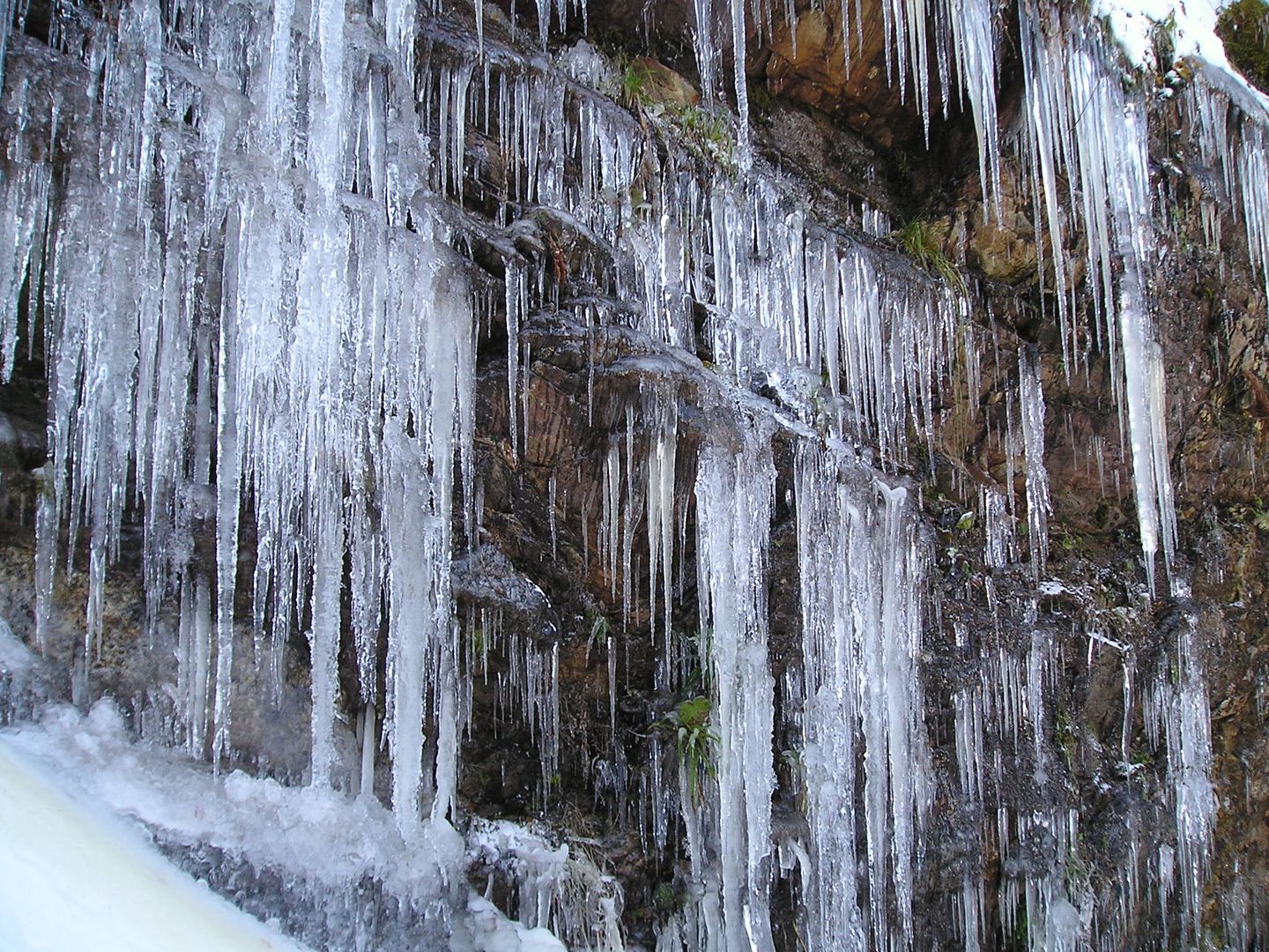
14h36: Ya de vuelta en un talud sobre la pista observo estos curiosos carámbanos.
Photo Sharing and Video Hosting at Photobucket

14h36: Con más detalle.
Photo Sharing and Video Hosting at Photobucket

14h44: De regreso de nuevo por la pista forestal.       Photo Sharing and Video Hosting at Photobucket

14h46: Paso otra vez cerca del Plan des Bruishes.
Photo Sharing and Video Hosting at Photobucket

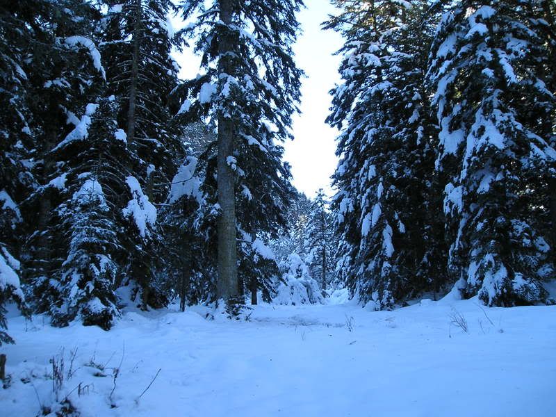
14h50: Estaremos de acuerdo que estos días ha caído bastante nieve.
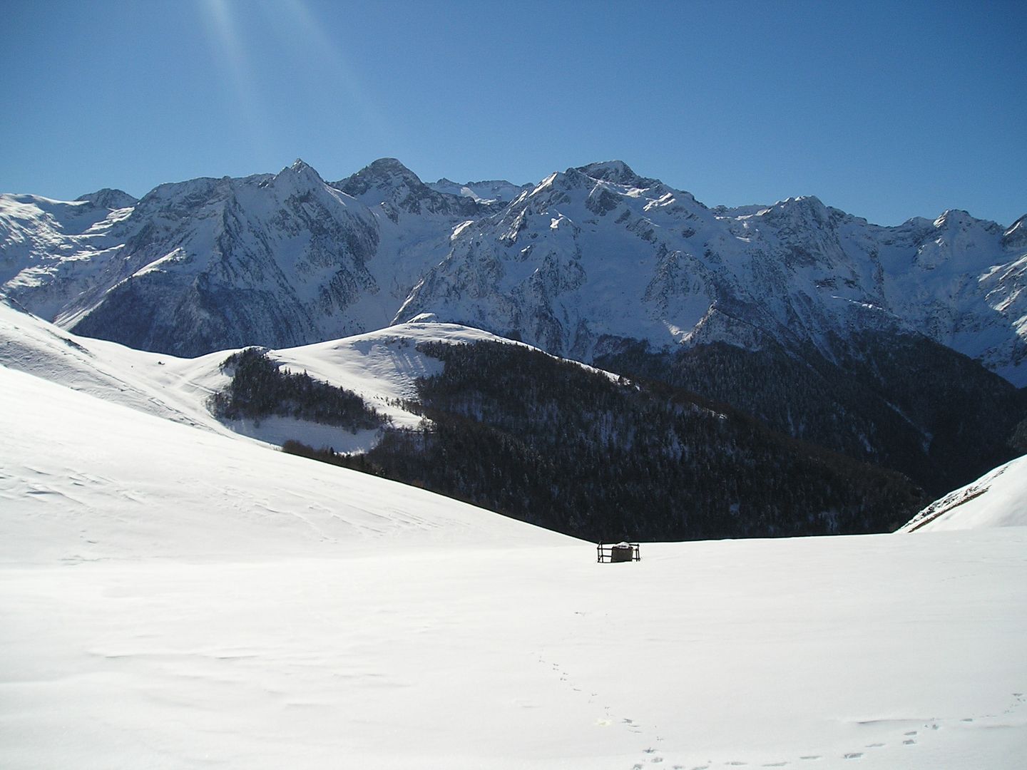
Photo Sharing and Video Hosting at Photobucket

15h12: Y aquí lo dejo en el Puerto del Portihlon.
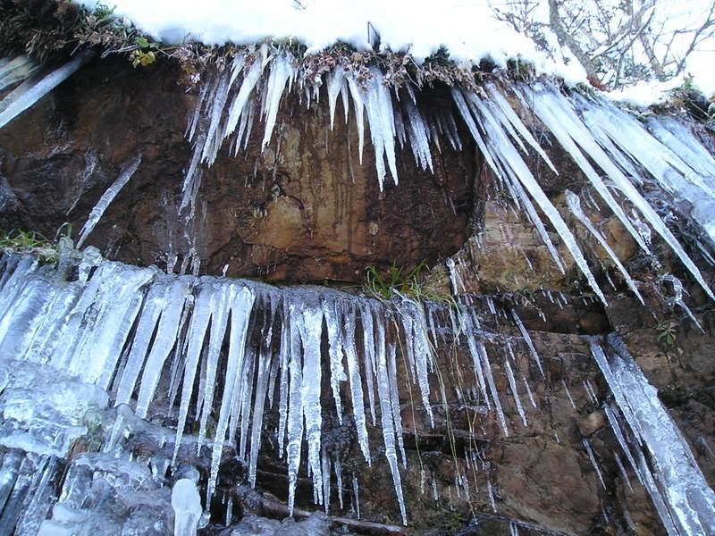
Photo Sharing and Video Hosting at Photobucket