miércoles, 10 de abril de 2013

Tuc deth Rosari (2.594 m.) con esquís de travesía el 21-03-13


DESCRIPCIÓN: Ascensión al Tuc deth Rosari (2.594 m.) con esquís de travesía acompañado de Ferel, un exquisito montañero. 

OBSERVACIONES Y CURIOSIDADES : 
Telefonía móvil: Con  cobertura Movistar.
Fotografía: Instantáneas capturadas  con una cámara digital.
DATOS TÉCNICOS: REFERENCIA:Mapa excursionista: Alpina Escala 1:25.000. Mapas digitales del ICC (Institut Cartogràfic de Catalunya).
Actividad: Esquí de travesía cerca de Baqueira Beret, Val d'Aran  Catalunya(España)
Distancia recorrida: 10,900 kilómetros
Altitud min:  1.859 metros, max:  2.619 m. metros
Desnivel acum. subiendo:  762 metros, bajando: 762 metros
Grado de dificultad: Fácil
Tiempo: 5 horas 27 minutos
Fecha:  21 de marzo de  2013


Finaliza en el punto de partida (circular):


© nudels Tots els drets reservats


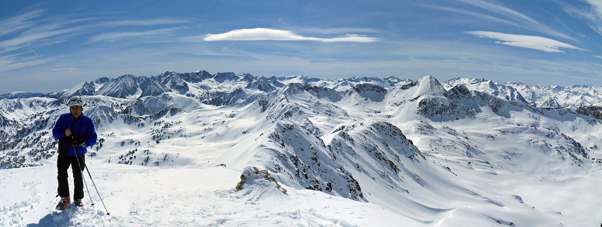
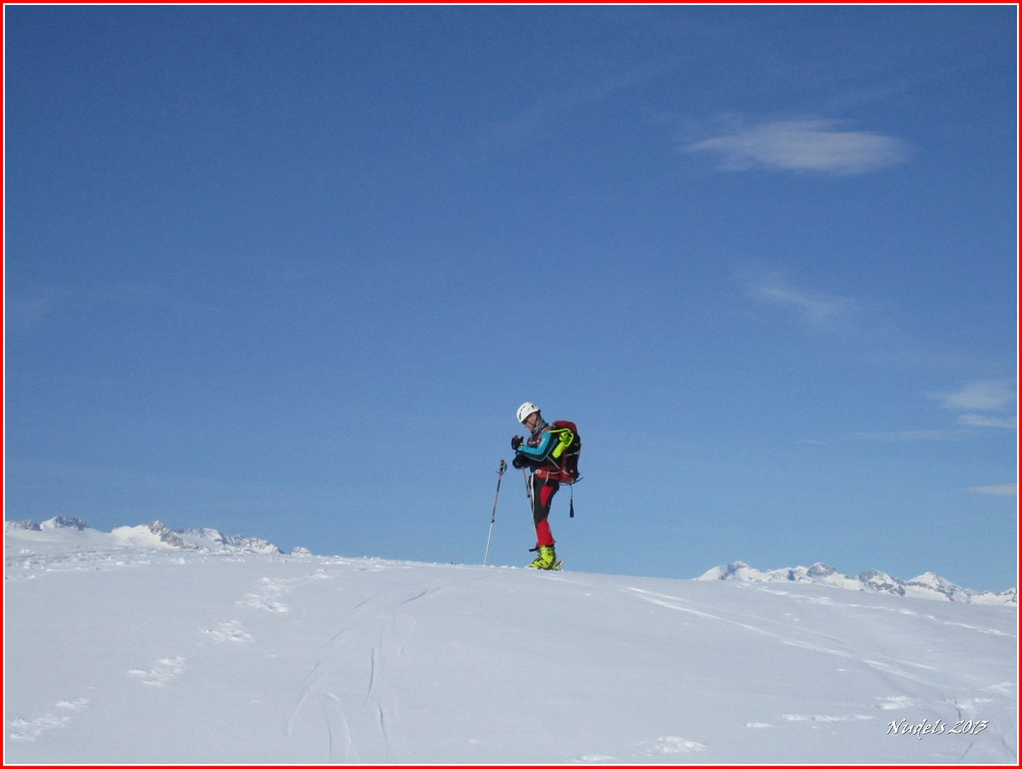
14h37: Voy a tratar de contaros como Ferel (en funciones de figurante) y yo equipados con esquís de travesía y con otros utensilios hemos llegado hasta aquí arriba a la cima del Tuc deth Rosari (2.594 m.), esta panorámica es obra suya.Photo Sharing and Video Hosting
at Photobucket

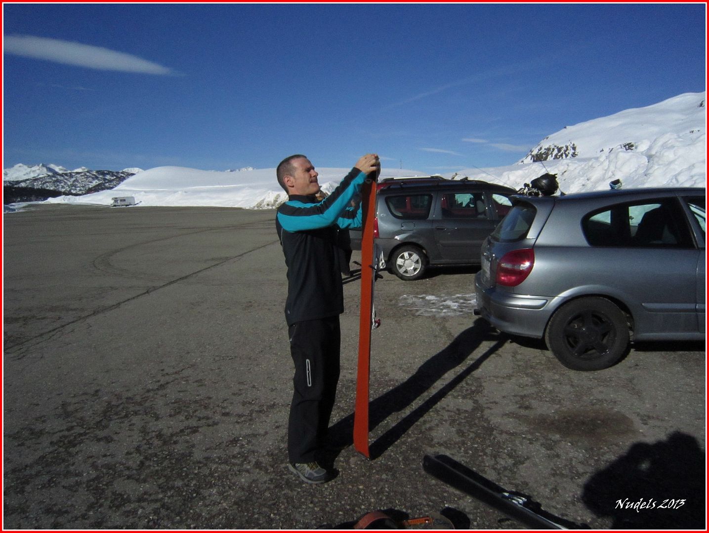
09h25: Pues la verdad es que la actividad surgió porque sí, creo que entre cerveza y cerveza se nos llenó la boca de monte y montaña y quedamos en realizar algo asequible para nuestro nivel de esquí. Salimos del parking de Orri situado en la estación invernal de Baqueira Beret.
Photo Sharing and Video Hosting at Photobucket

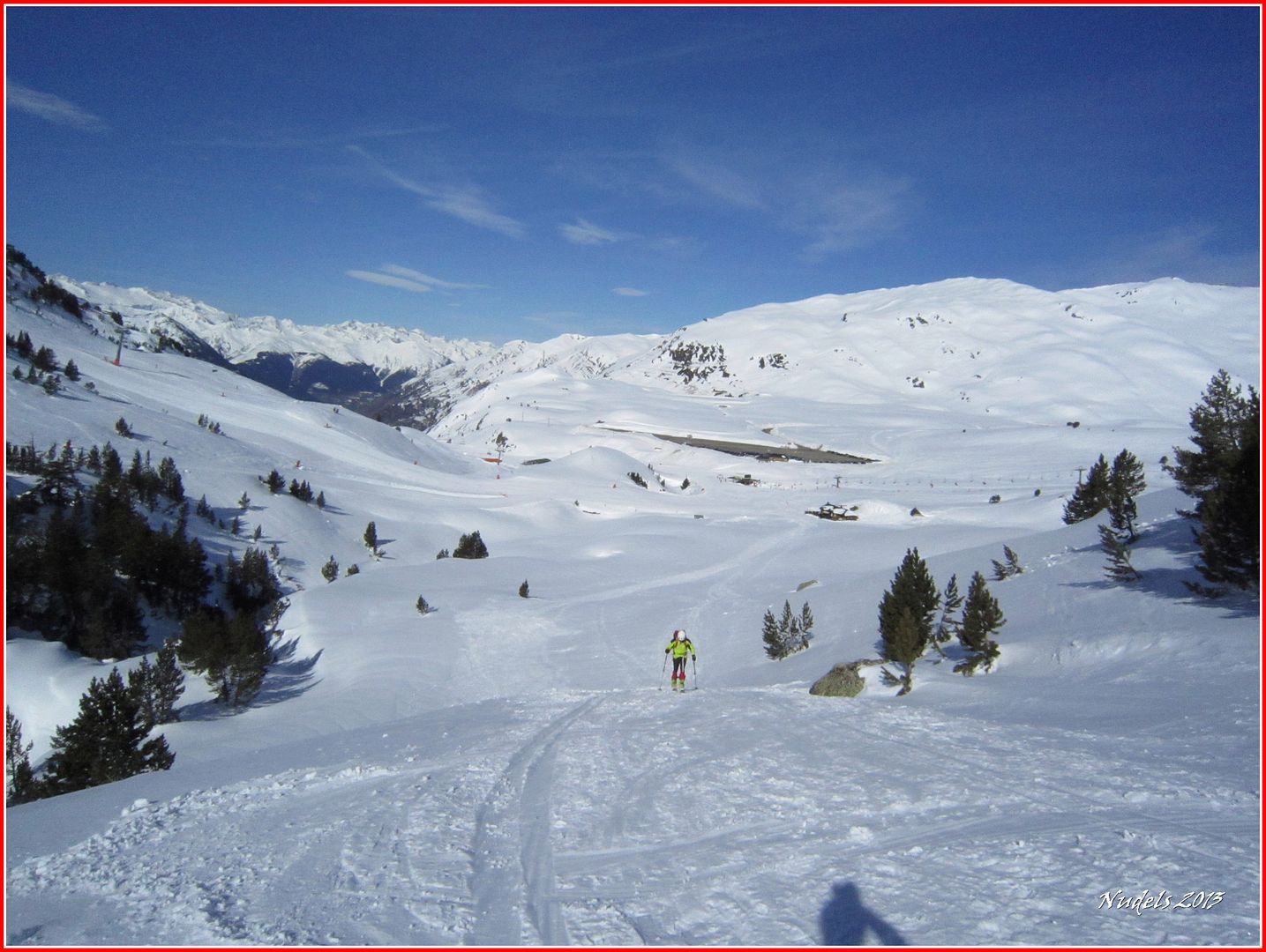
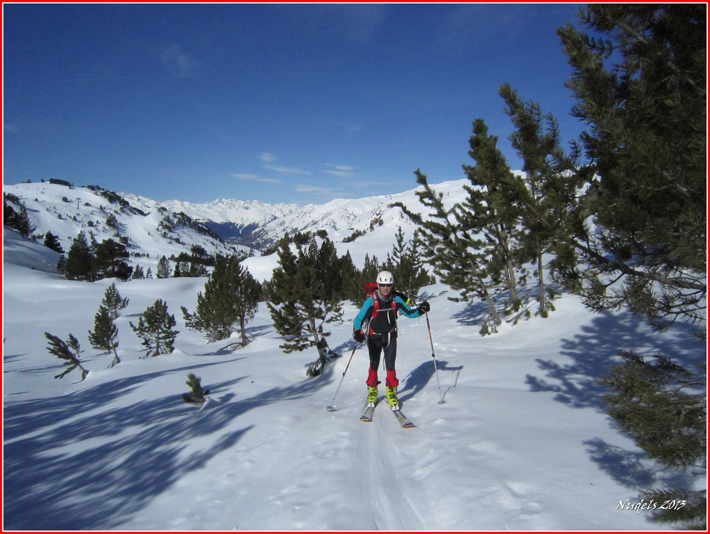
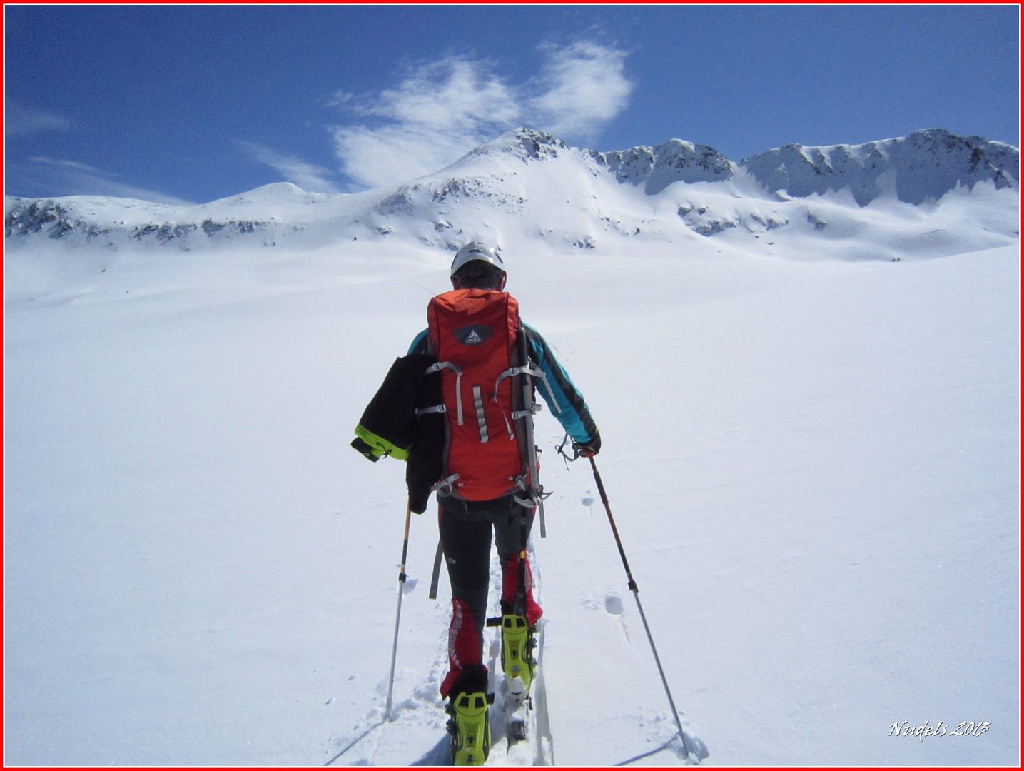
09h38: Seguiremos hacia el Este por el barranco de Arriu (Río) Malo. 
Photo Sharing and Video Hosting at Photobucket

09h39: A nuestra espalda dejamos un espectáculo grandioso, sobresale el Montarto/Montardo (2.833 m.). 
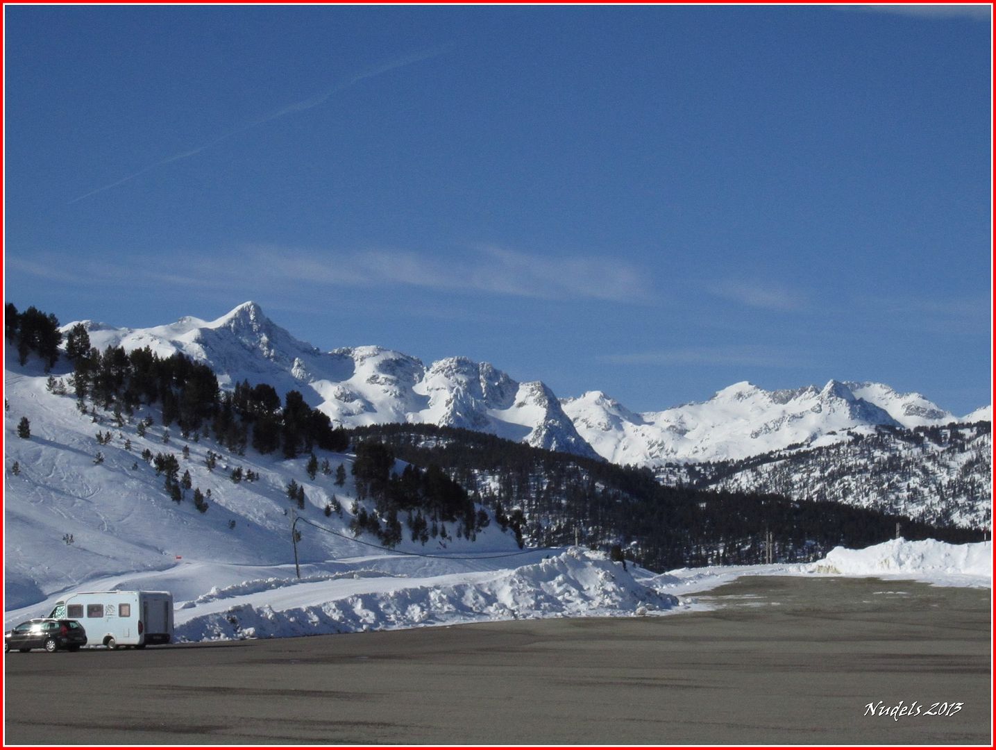
Photo Sharing and Video Hosting at Photobucket

09h39: Y las pistas de esquí de Baqueira. 
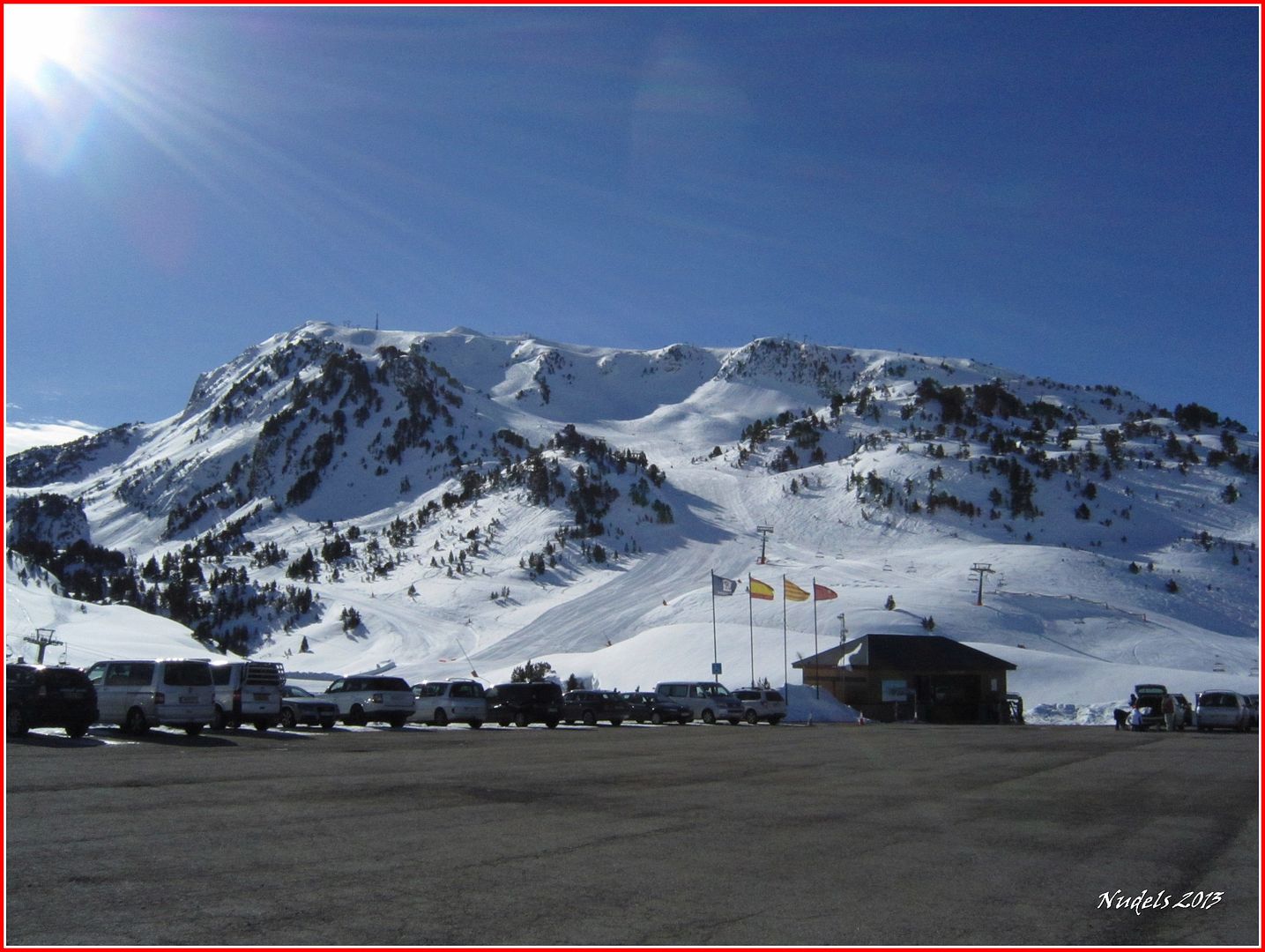
Photo Sharing and Video Hosting at Photobucket

09h42: Top, nos vamos para arriba. 
Photo Sharing and Video Hosting at Photobucket

09h44: Un corto tramo llaneando y por pistas.
Photo Sharing and Video Hosting at Photobucket

09h46: Dejamos a nuestra izquierda la cafetería de las lujurias, la del champagne Moêt.
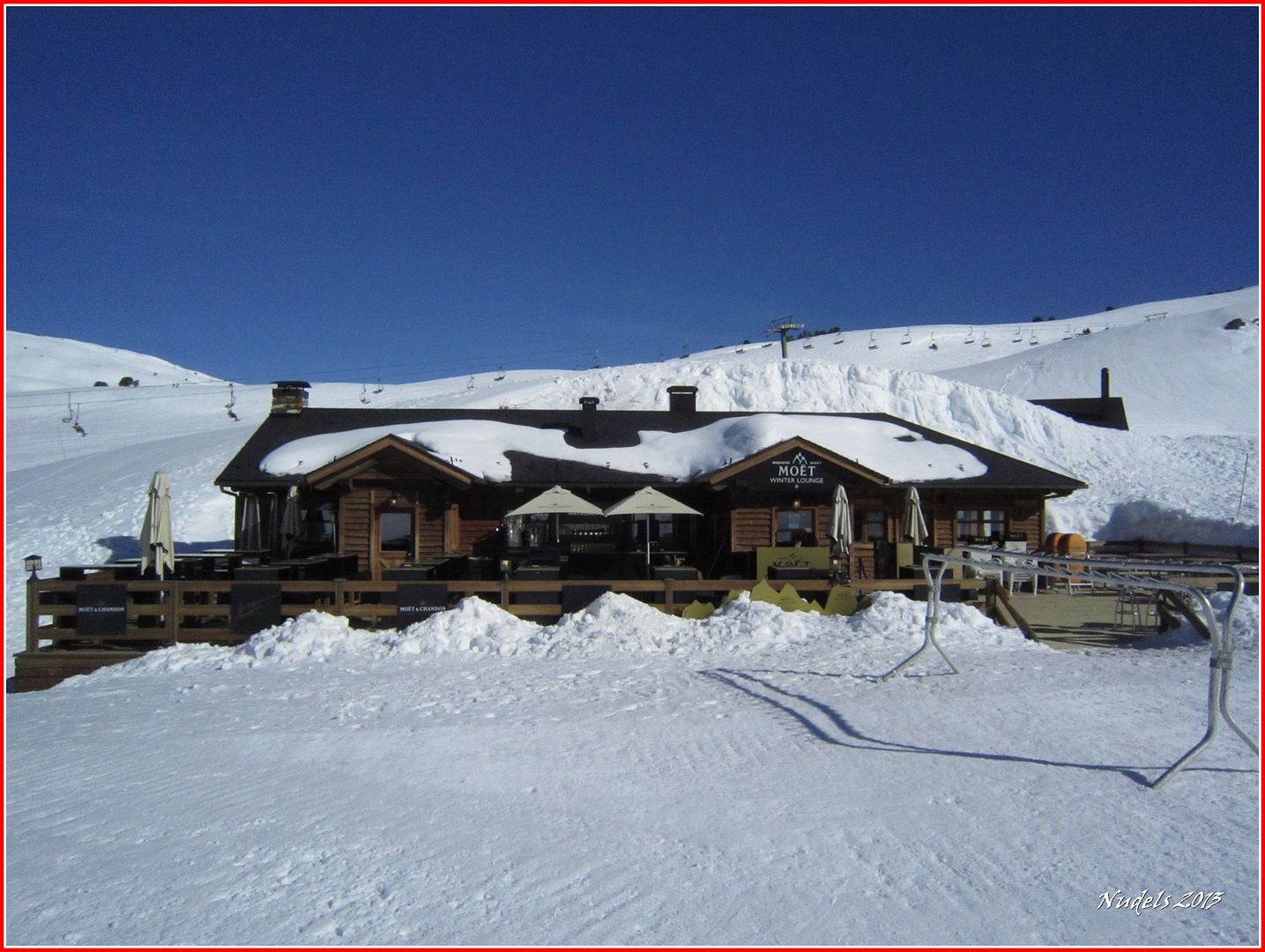
Photo Sharing and Video Hosting at Photobucket

09h48: El viento sopla y tenemos la sensación de frío.
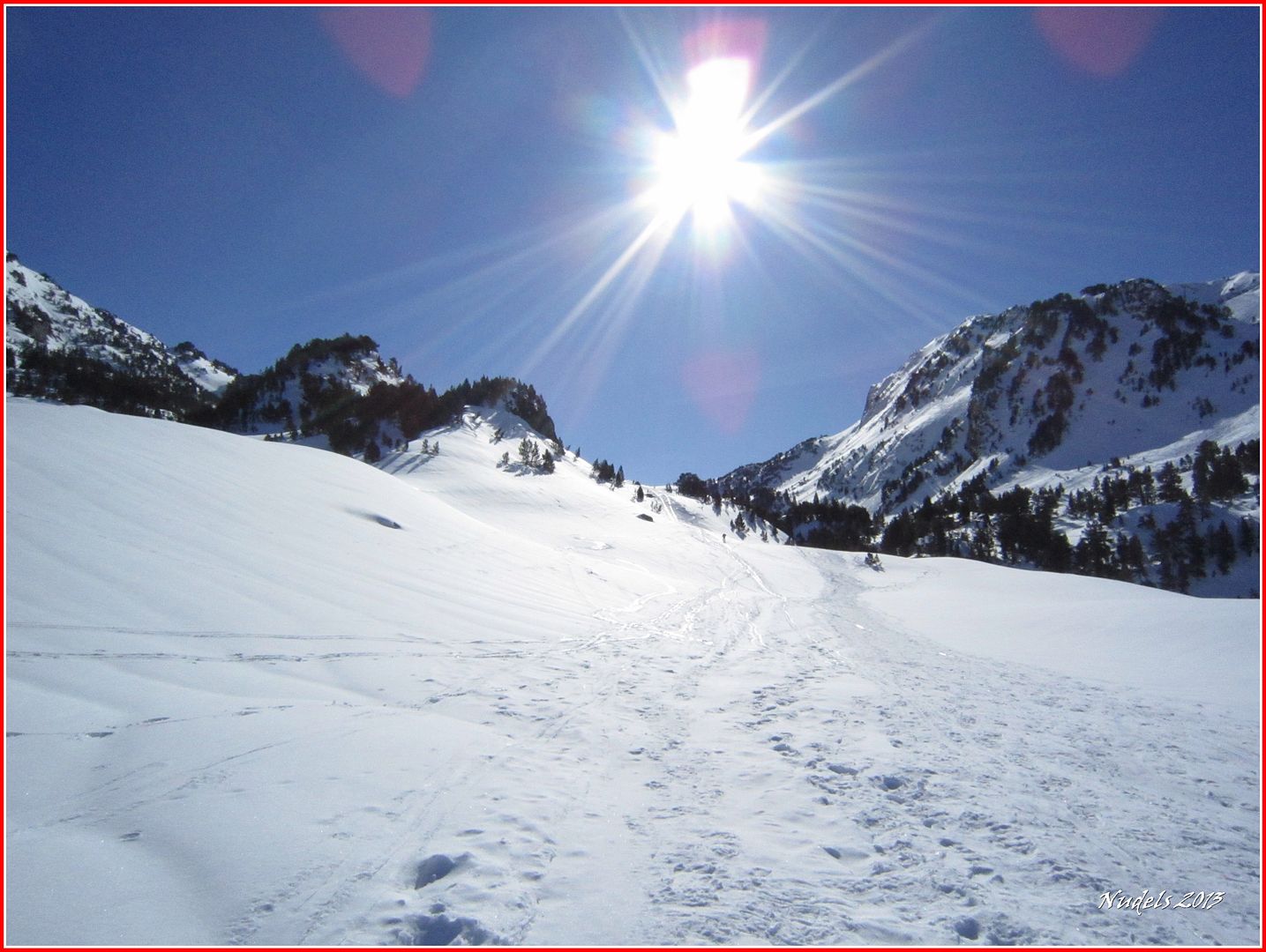
Photo Sharing and Video Hosting at Photobucket

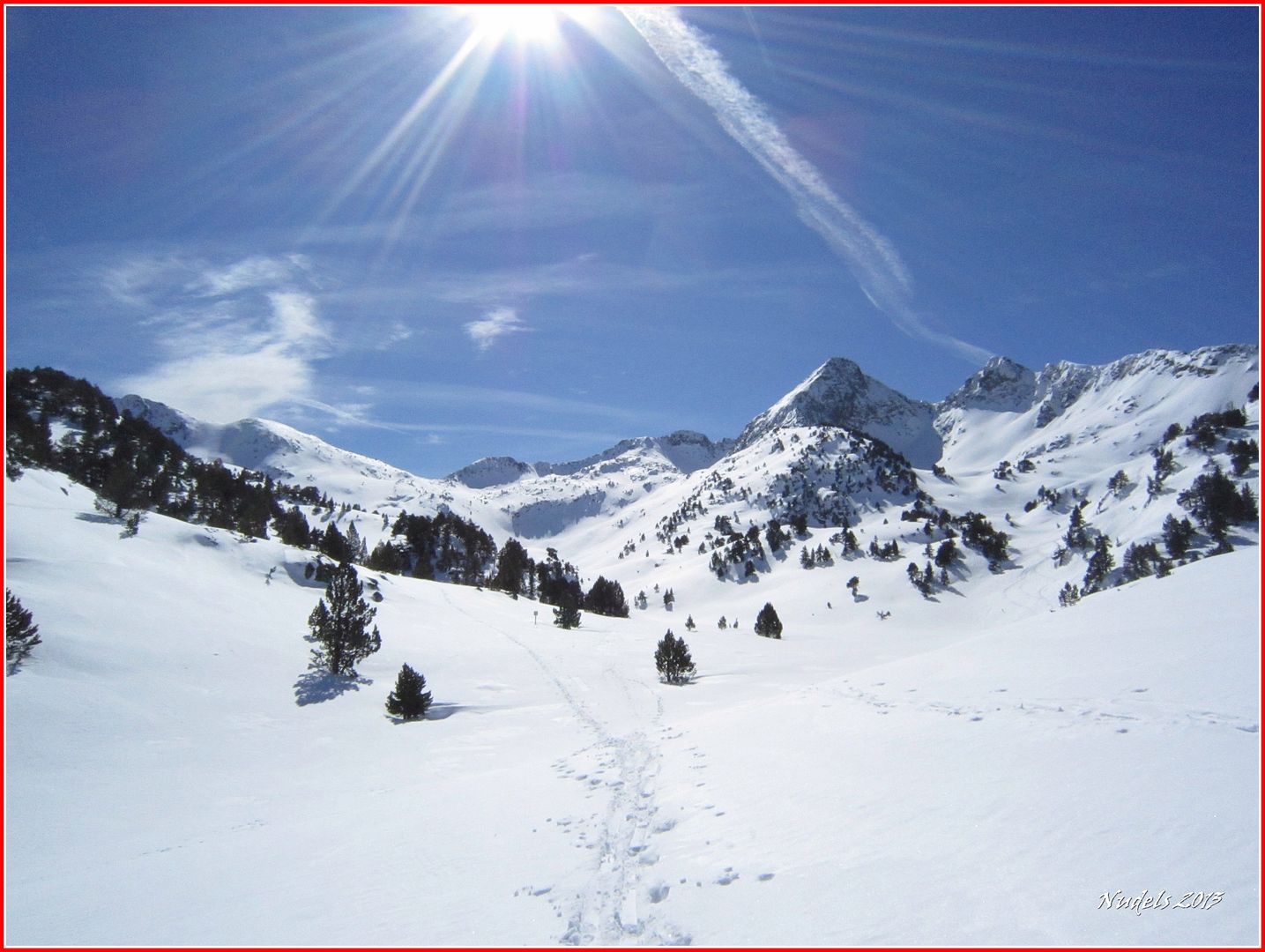
09h55: Una mirada atrás.
Photo Sharing and Video Hosting at Photobucket

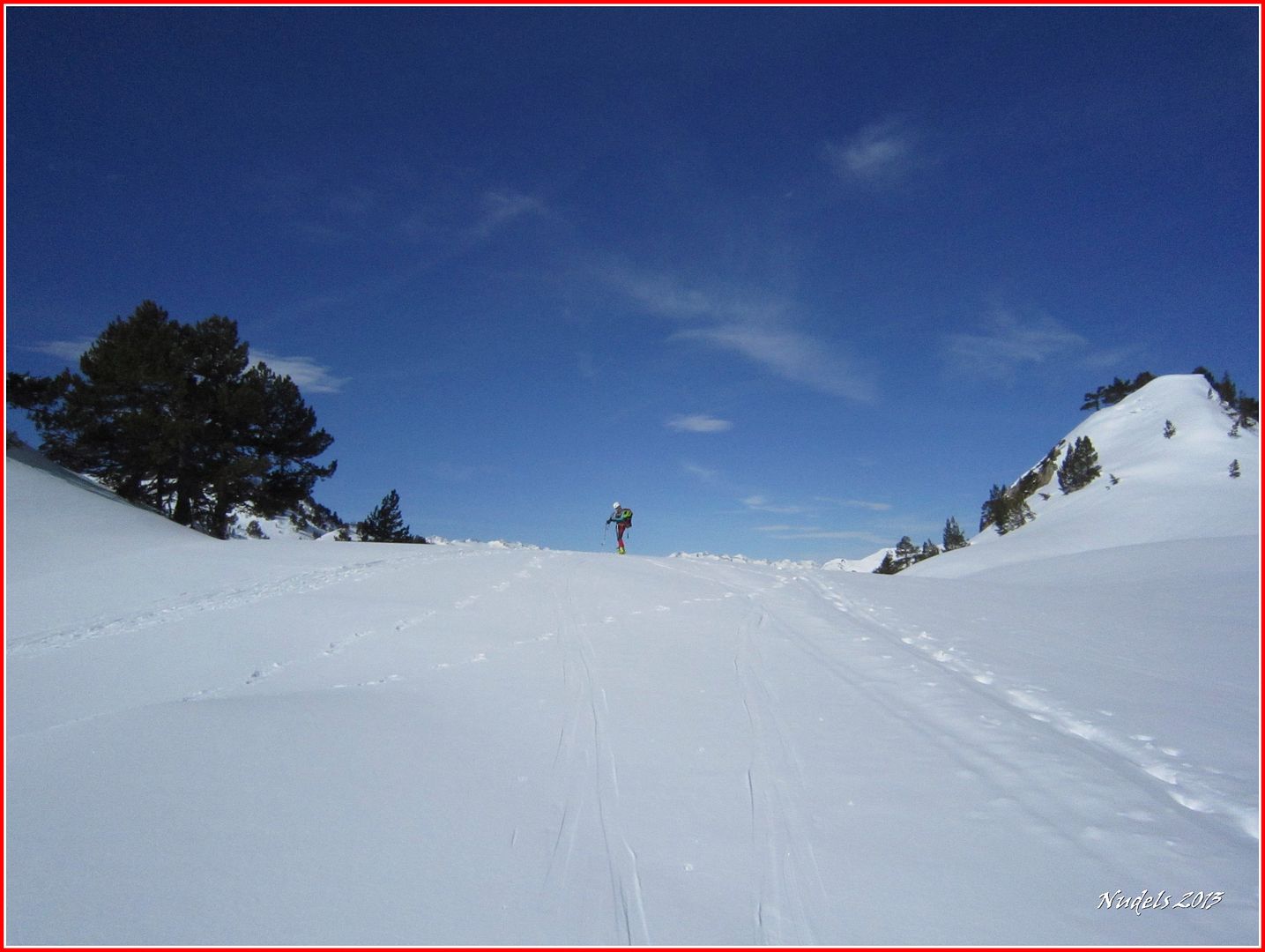
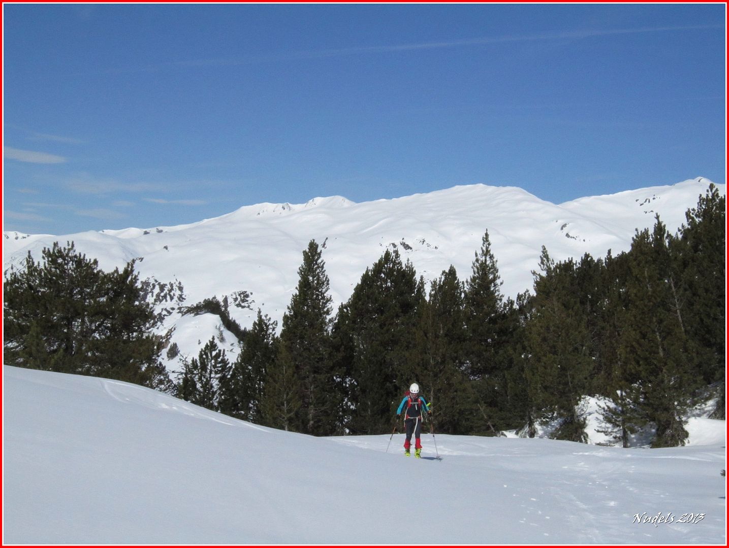
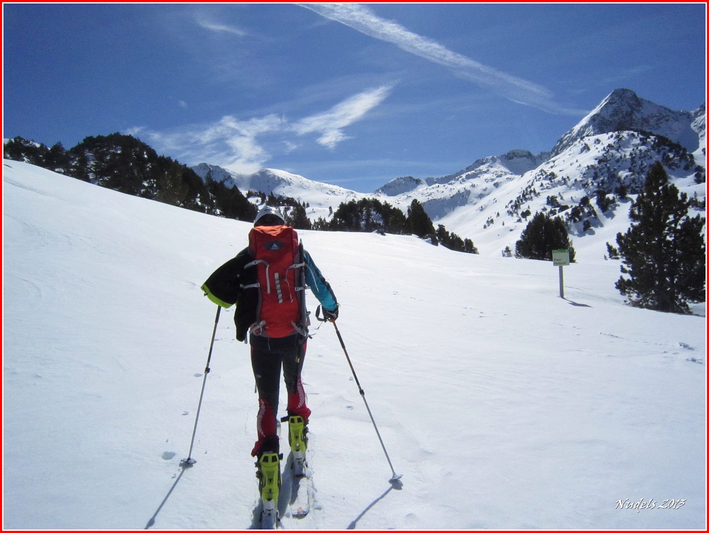
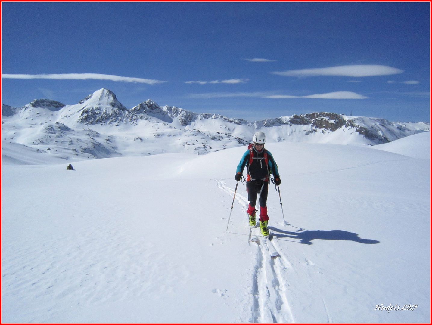
10h00: Se avanza muy bien apenas hay pendientes.
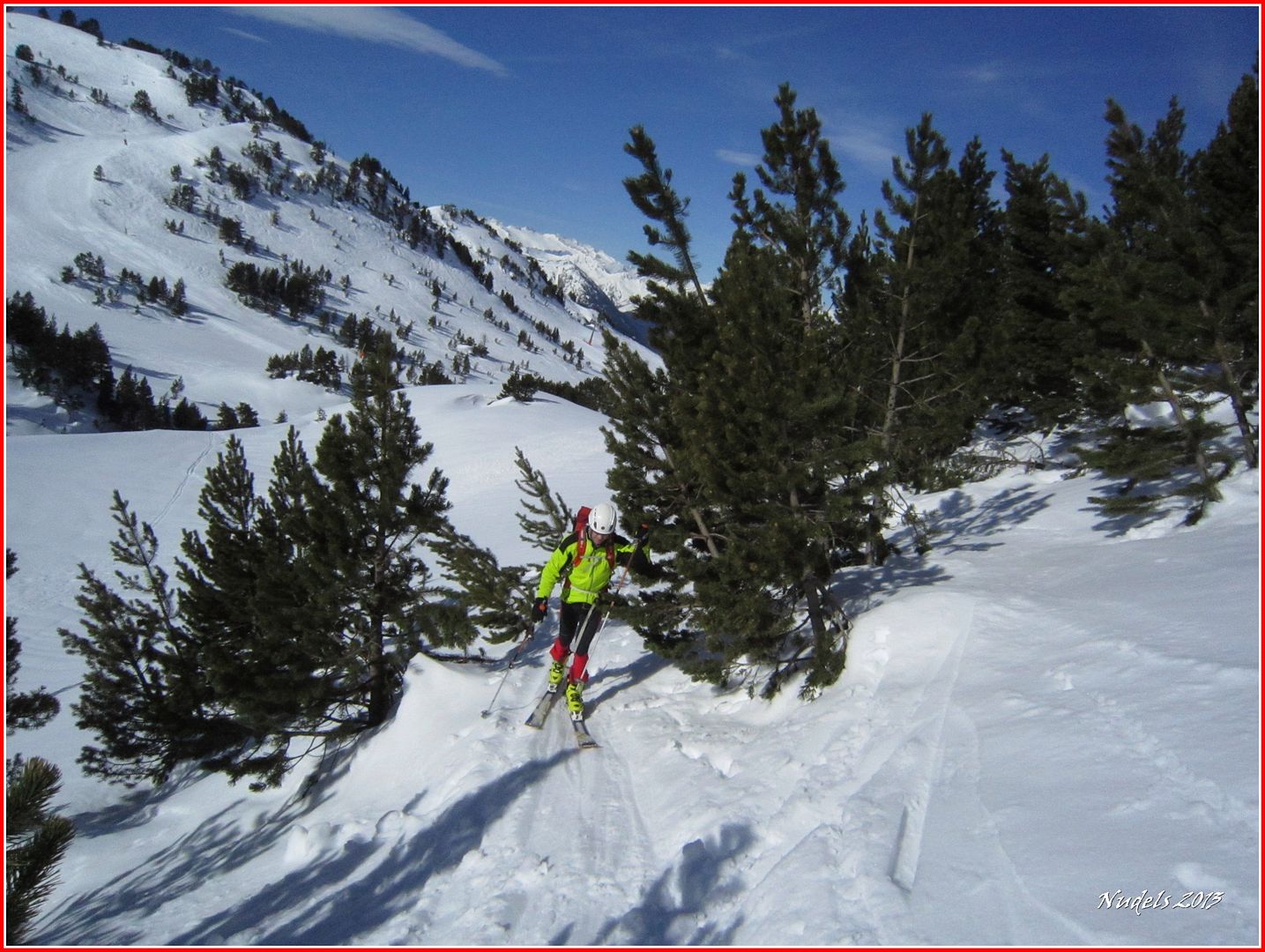
Photo Sharing and Video Hosting at Photobucket

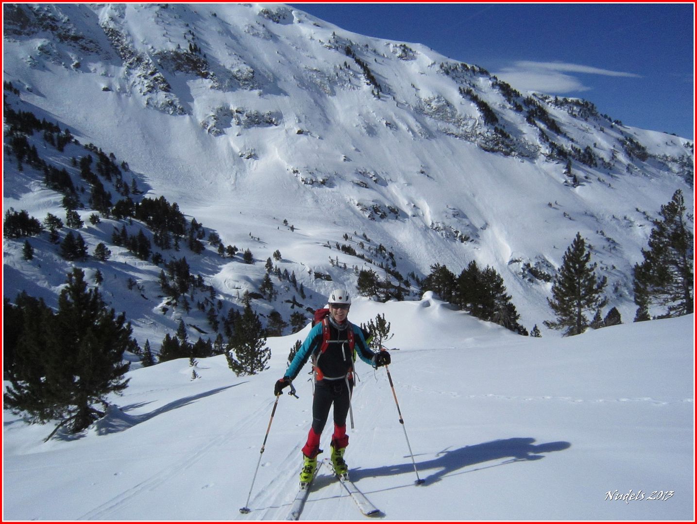
10h05: El viento se ha apaciguado y la sensación de frío se esfumó así que aligeramos equipaje.
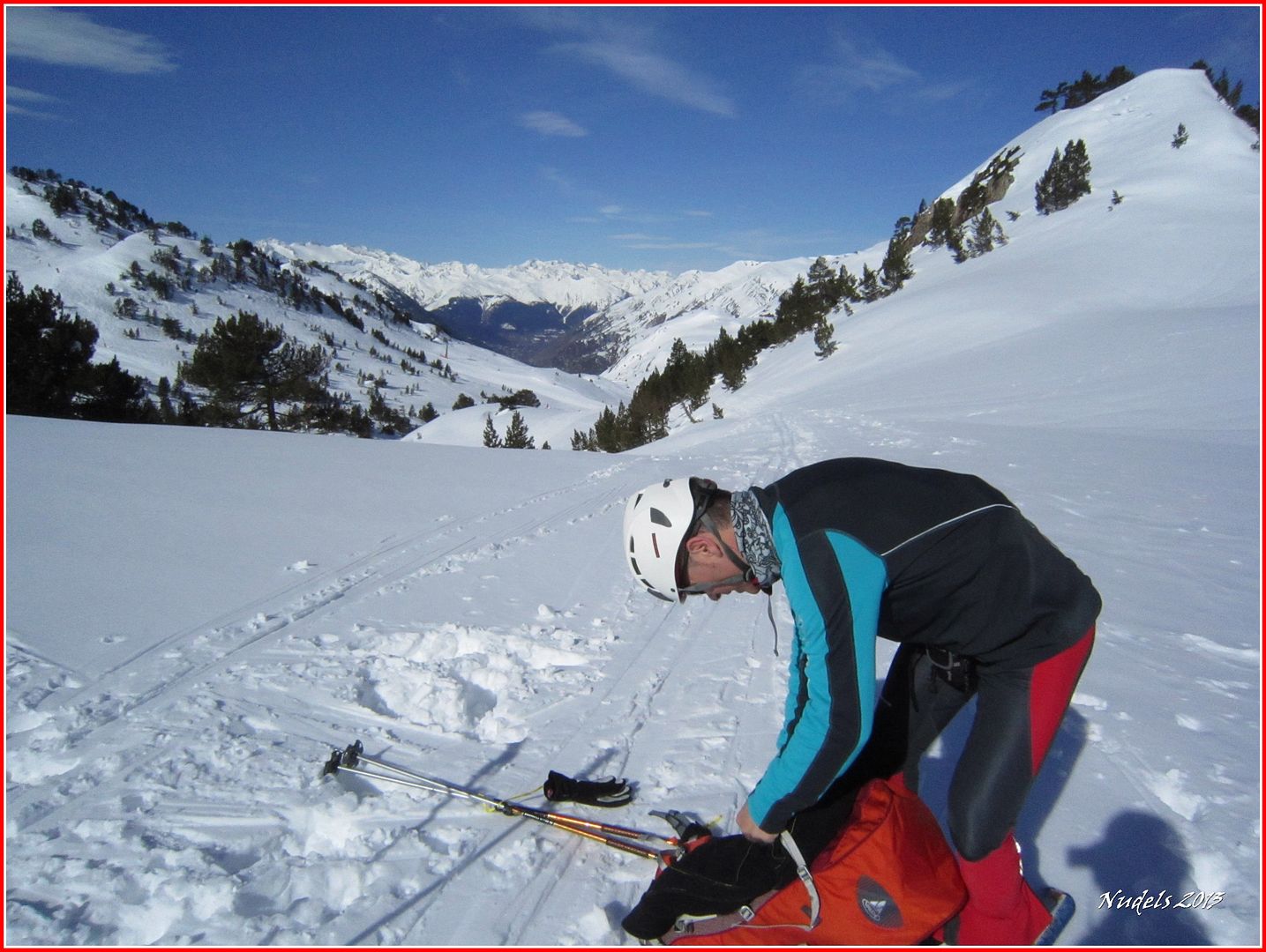
Photo Sharing and Video Hosting at Photobucket

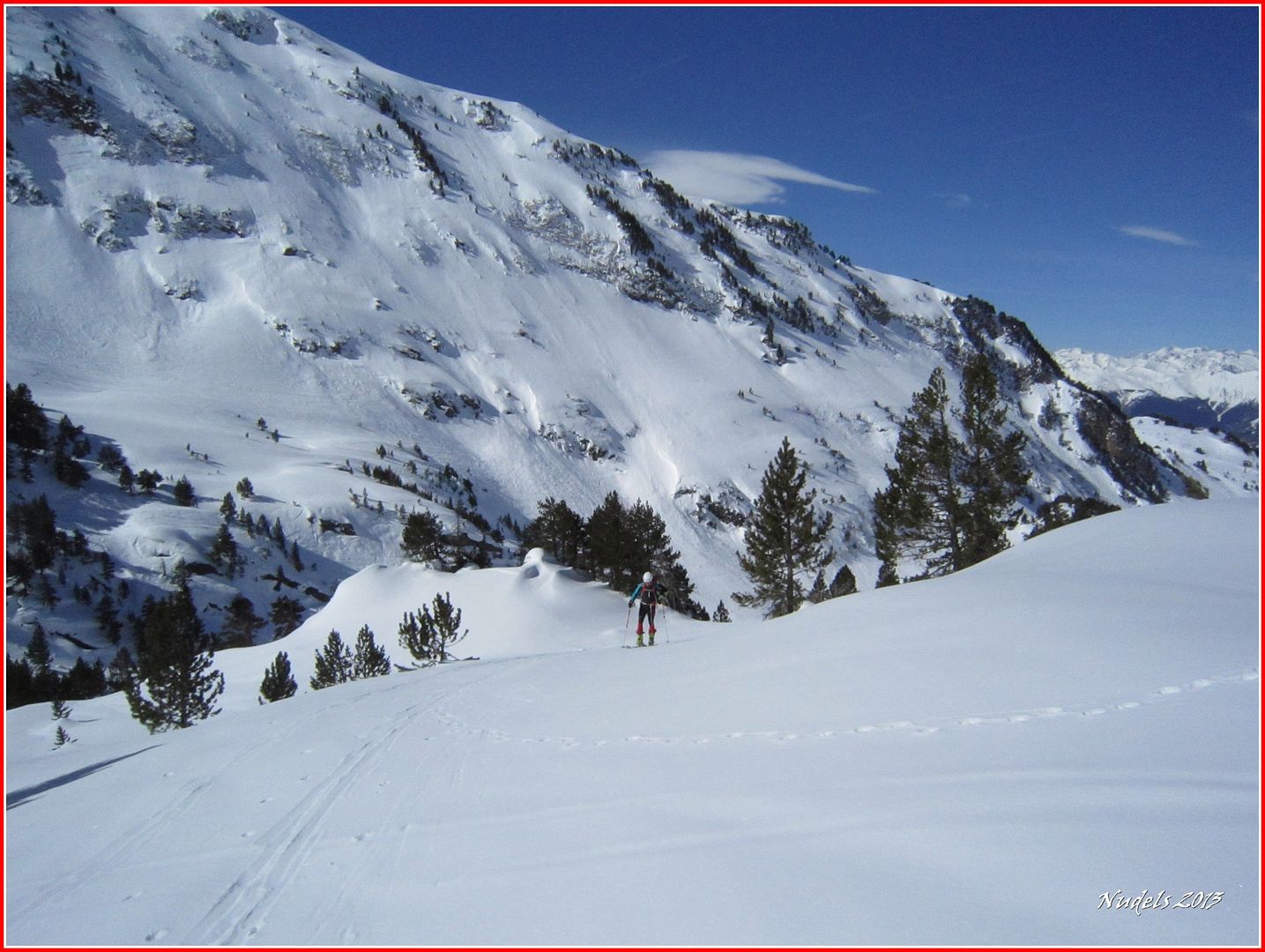
10h05: Nos queda superar esa muralla.
Photo Sharing and Video Hosting at Photobucket

10h07: 
Photo Sharing and Video Hosting at Photobucket

10h07:
Photo Sharing and Video Hosting at Photobucket

10h16:
Photo Sharing and Video Hosting at Photobucket

10h19:
Photo Sharing and Video Hosting at Photobucket

10h19:
Photo Sharing and Video Hosting at Photobucket
10h37:
Photo Sharing and Video Hosting at Photobucket

10h37:
Photo Sharing and Video Hosting at Photobucket

10h45: El Tuc dera Llança.
Photo Sharing and Video Hosting at Photobucket

10h49:
Photo Sharing and Video Hosting at Photobucket

11h25: El Circo de Rosari.
Photo Sharing and Video Hosting at Photobucket

11h31: Nos vamos hacia el pico.
Photo Sharing and Video Hosting at Photobucket

11h46:
Photo Sharing and Video Hosting at Photobucket

11h59: Tenemos gente delante, mejor seguiremos su traza.
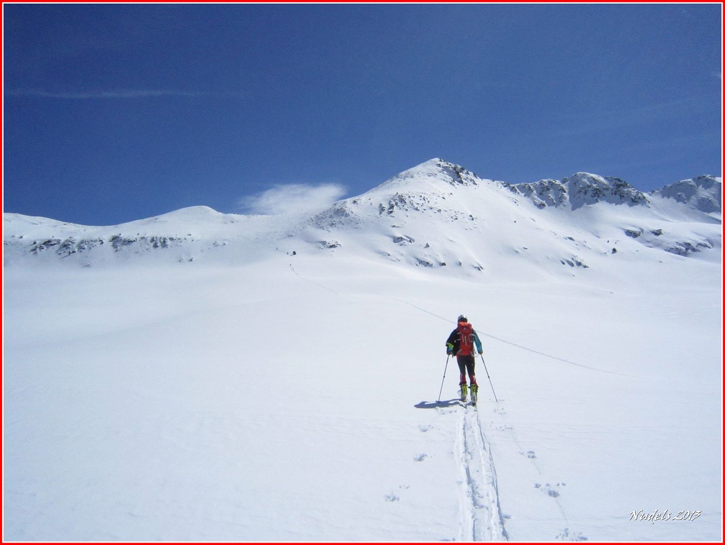
Photo Sharing and Video Hosting at Photobucket

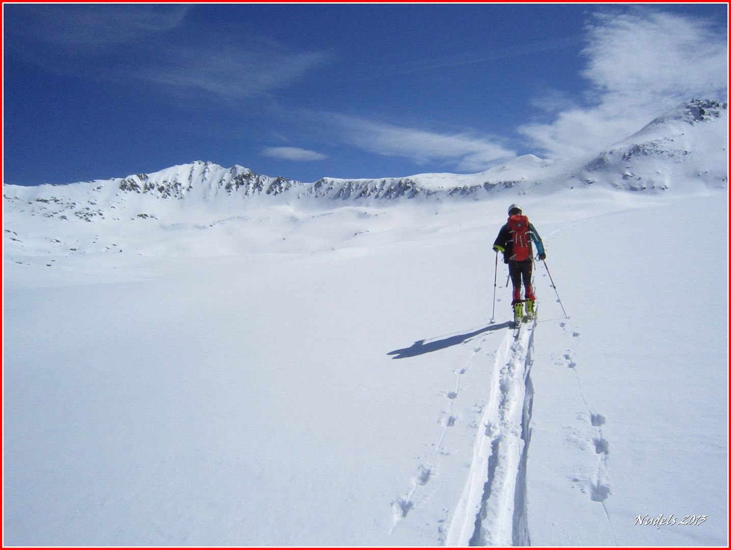
12h13: Al principio una subida tendida.
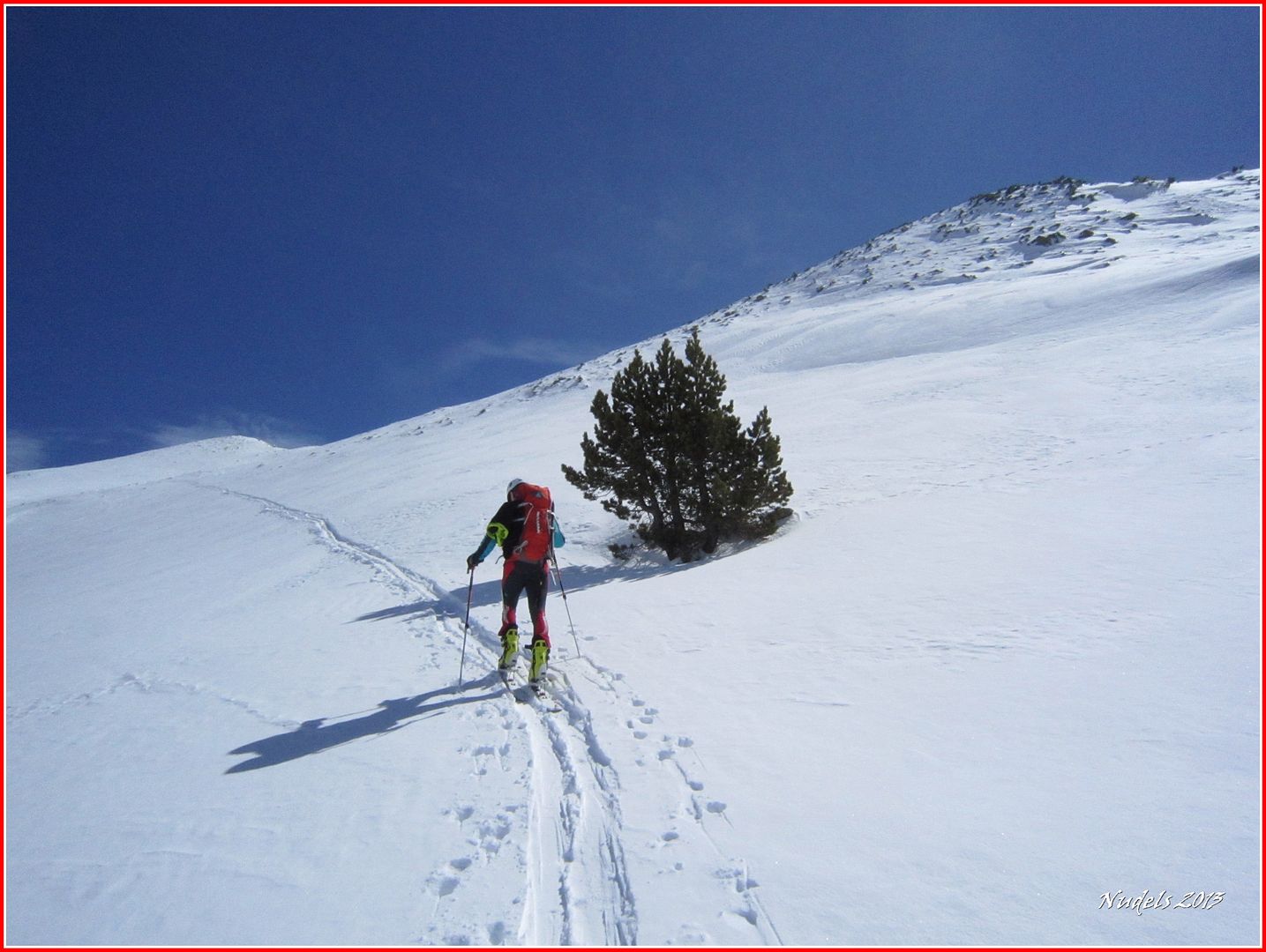
Photo Sharing and Video Hosting at Photobucket

12h29: Cerca del collado.
Photo Sharing and Video Hosting at Photobucket

12h32: Y aquí dudamos si subimos con los esquís, hay muchas piedras, o seguimos andando.
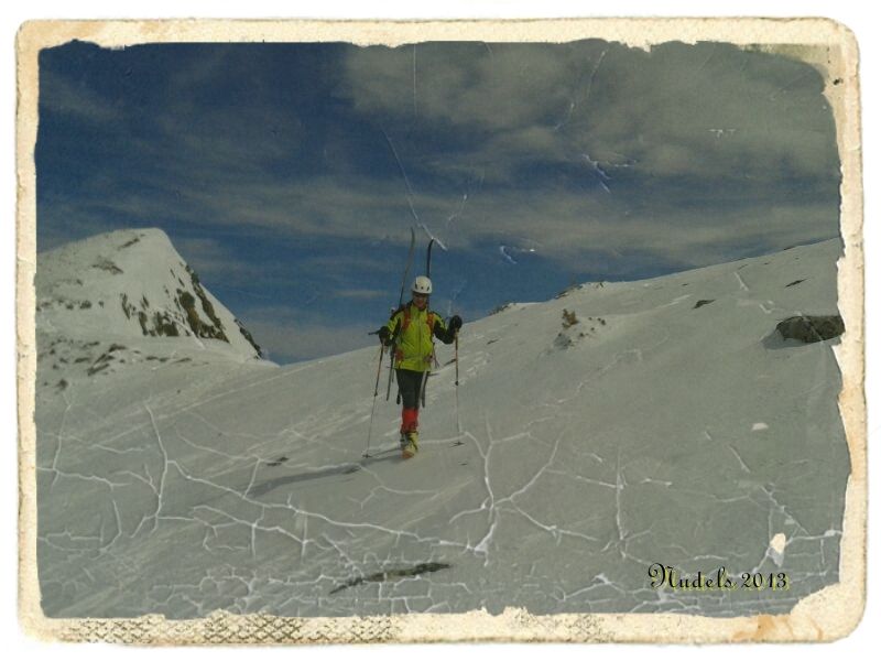
Photo Sharing and Video Hosting at Photobucket

12h42: Nada a tope, lo intentaremos con las tablas puestas.
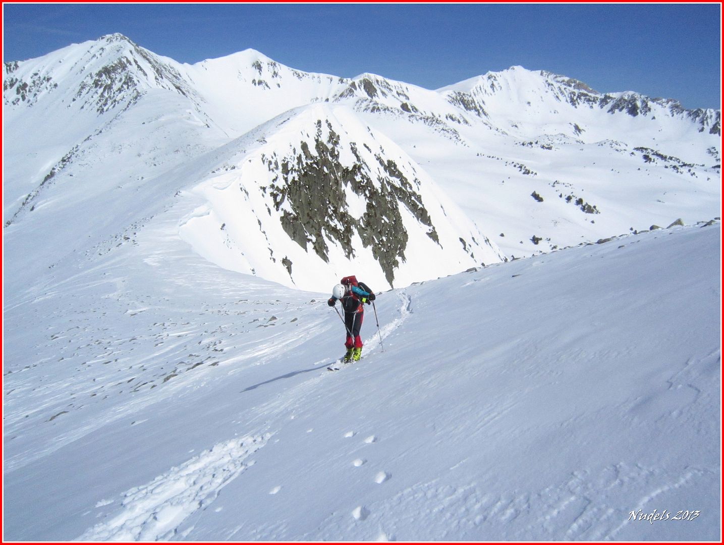
Photo Sharing and Video Hosting at Photobucket

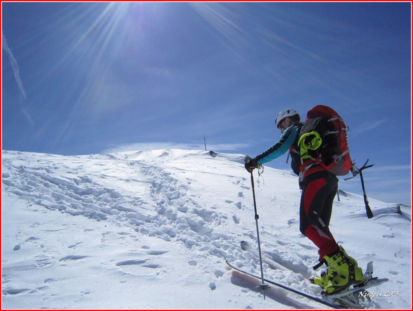
13h01: La ascensión se vuelve un poco técnica pero vamos superando los obtáculos.
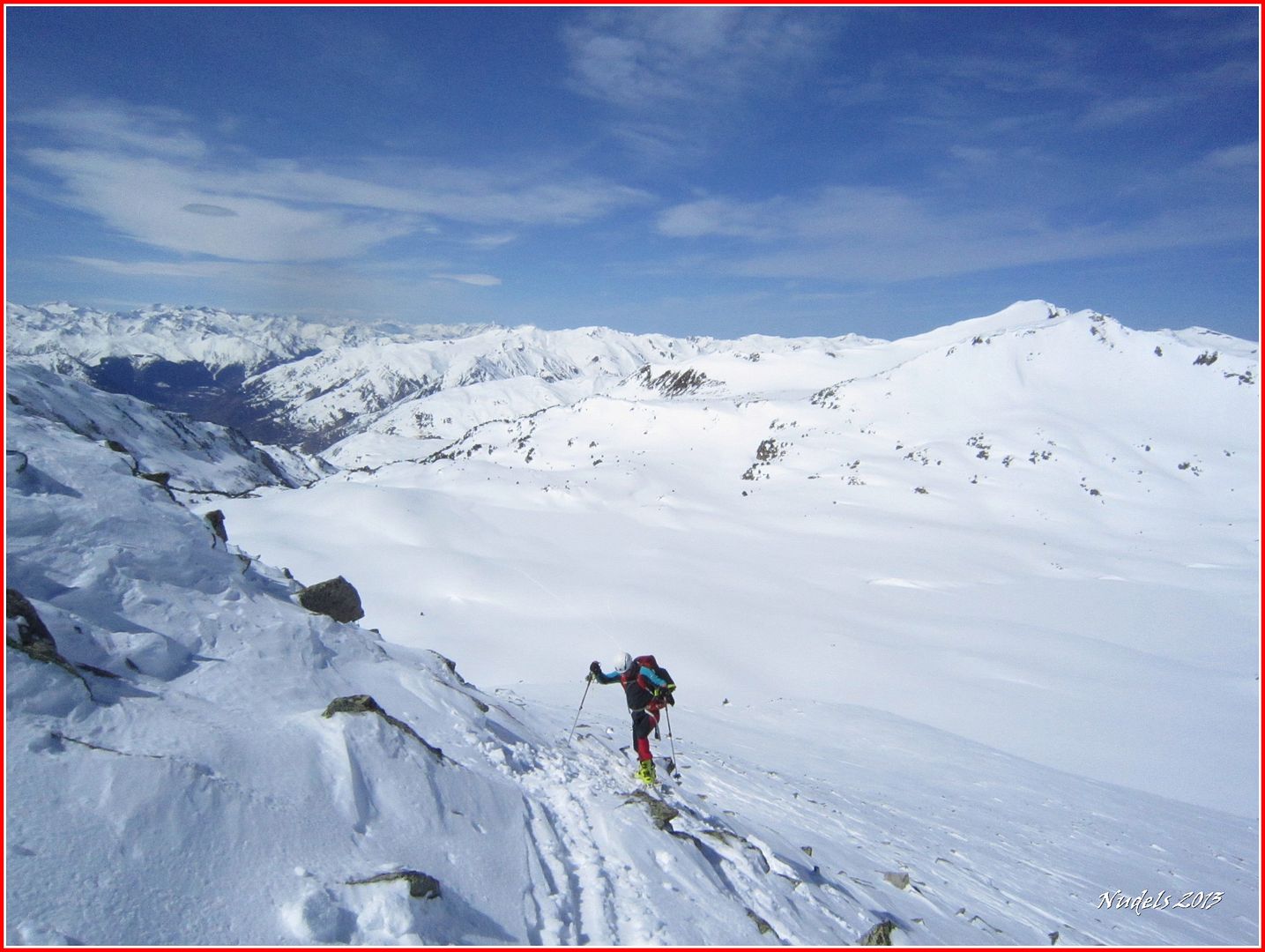
Photo Sharing and Video Hosting at Photobucket

13h08: La pala tiene una inclinación suficiente para poder afrontarla. 
Photo Sharing and Video Hosting at Photobucket

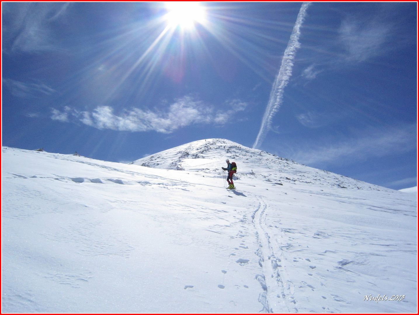
13h10: Ya casi lo tenemos.
Photo Sharing and Video Hosting at Photobucket

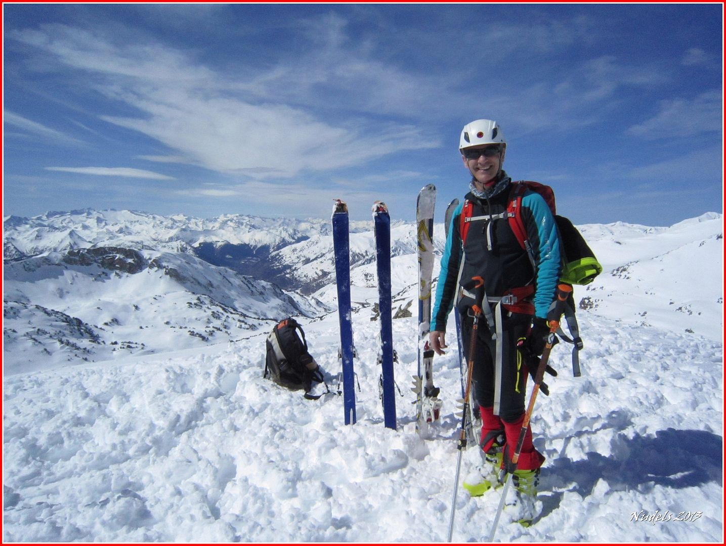
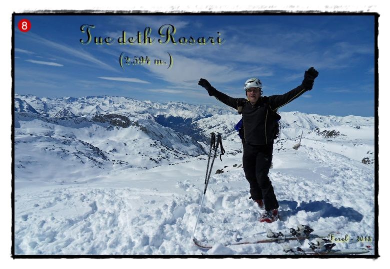
13h15: Hemos llegado a lo más alto del Tuc deth Rosari (2.594 m.).
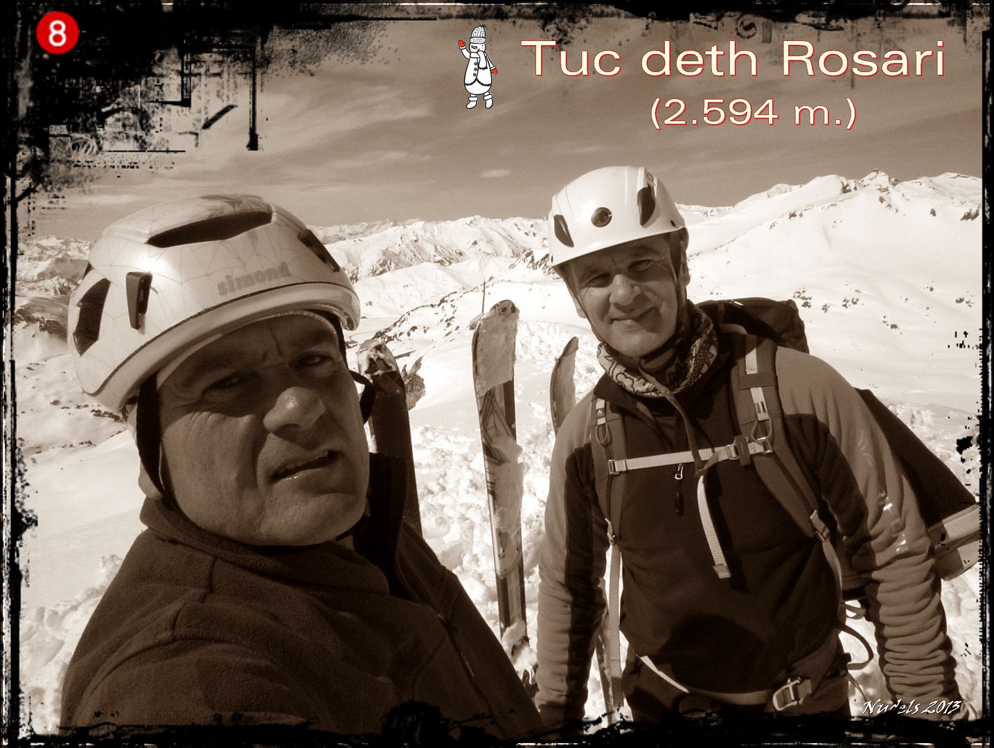
Photo Sharing and Video Hosting at Photobucket

13h16: ¡¡¡Felicidades!!!.
Photo Sharing and Video Hosting at Photobucket

13h16: ¡¡¡Felicidades!!!.
Photo Sharing and Video Hosting at Photobucket
13h22: Las vistas hacia Esterri d'Aneu.
Photo Sharing and Video Hosting at Photobucket

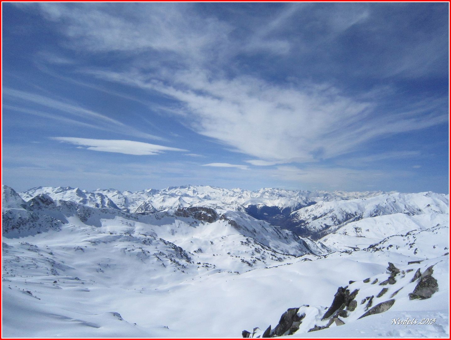
13h22:  Hacia el Sur.
Photo Sharing and Video Hosting at Photobucket

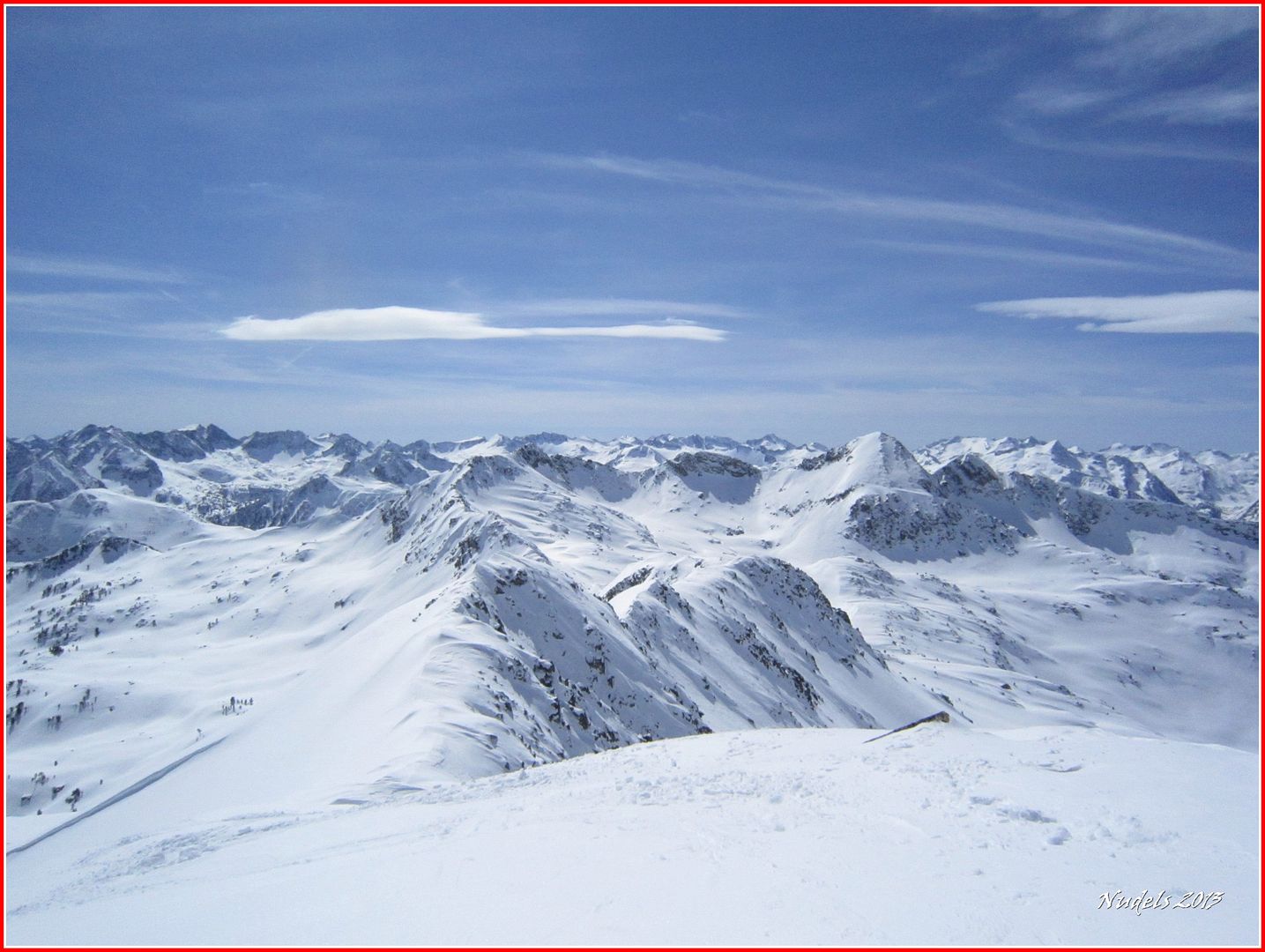
13h23: Hacia el Oeste.
Photo Sharing and Video Hosting at Photobucket

13h30: El pico presenta un bonito descenso por el suroeste así que siguiendo las marcas sobre la nieve vamos a intentar el descenso esquiando dándole la vuelta a la montaña, bajar esquiando por donde hemos subido hubiera sido un despropósito.
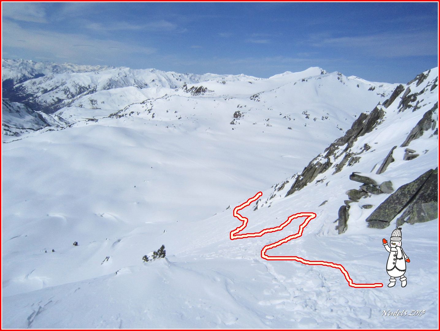
Photo Sharing and Video Hosting at Photobucket

15h54: Mientras busco alguna fotografía del embarazoso descenso decir que algo más tarde fuimos en busca de la recompensa por el botín conquistado.
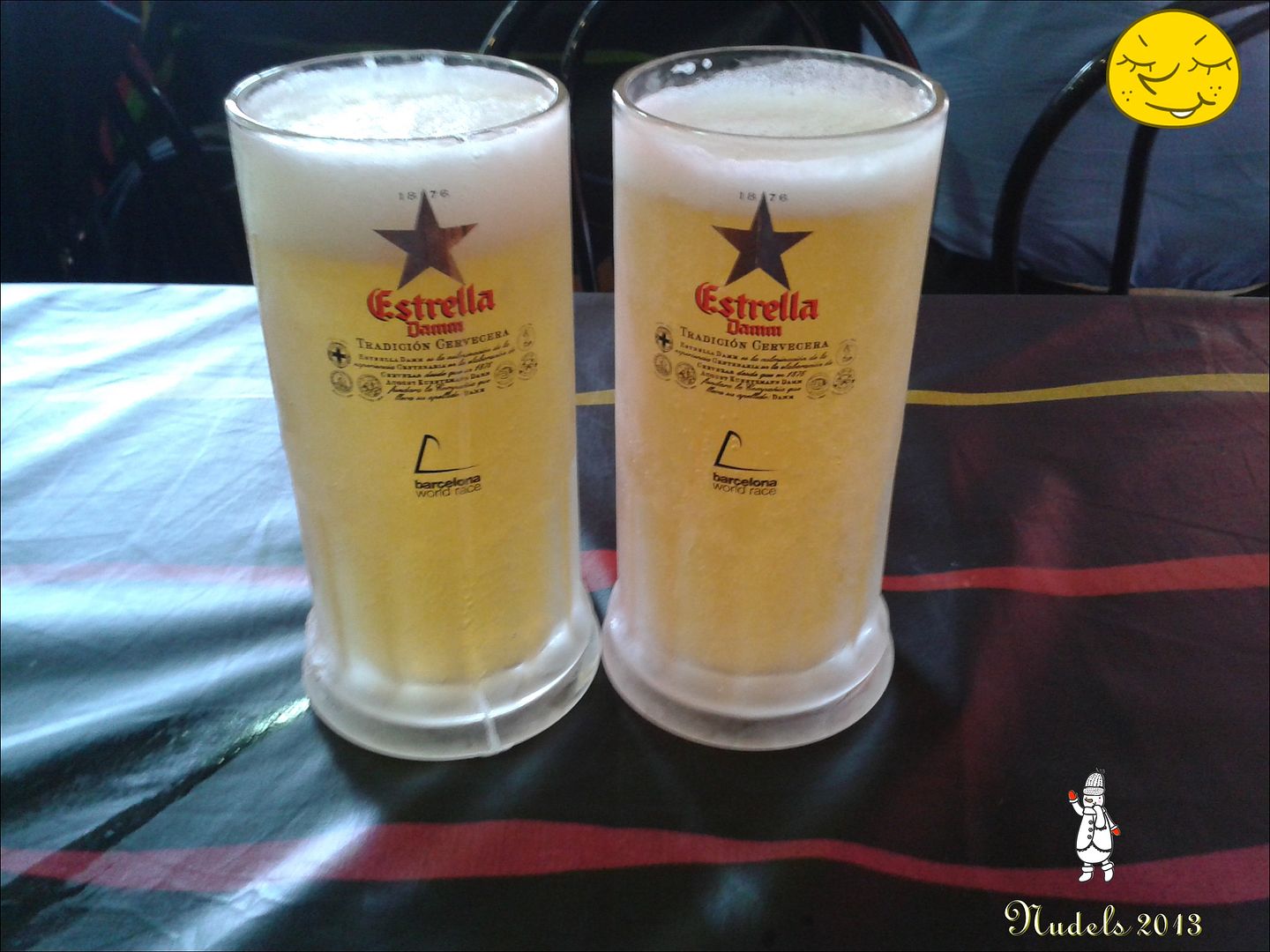
Photo Sharing and Video Hosting at Photobucket

viernes, 29 de marzo de 2013

Tuc deth Plan dera Serra (1.978 m.) con raquetas el 11-03-2013


DESCRIPCIÓN: Ascensión al Tuc deth Plan dera Serra (1.978 m.) con raquetas bonita y placentara actividad por la zona del Portilhòn de Bossòst. 

OBSERVACIONES Y CURIOSIDADES : 
Telefonía móvil: Con  cobertura Movistar.
Fotografía: Instantáneas capturadas con una cámara digital.

DATOS TÉCNICOS: REFERENCIA:Mapa excursionista: Alpina Escala 1:25.000. Mapas digitales del ICC (Institut Cartogràfic de Catalunya).
Actividad: Raquetas cerca de Bossòst, Val d'Aran  Catalunya(España)
Distancia recorrida: 7,540 kilómetros
Altitud min:  717 metros, max:  717 m. metros
Desnivel acum. subiendo:  1.227 metros, bajando: 1.236 metros
Grado de dificultad: Fácil
Tiempo: 3 horas 42 minutos
Fecha:  11 de marzo de 2013
Finaliza en el punto de partida (circular):

El track

© nudels Tots els drets reservats

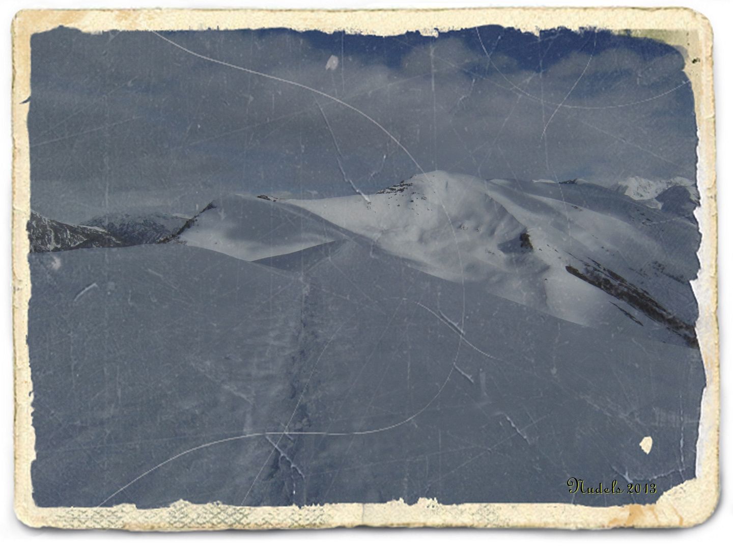
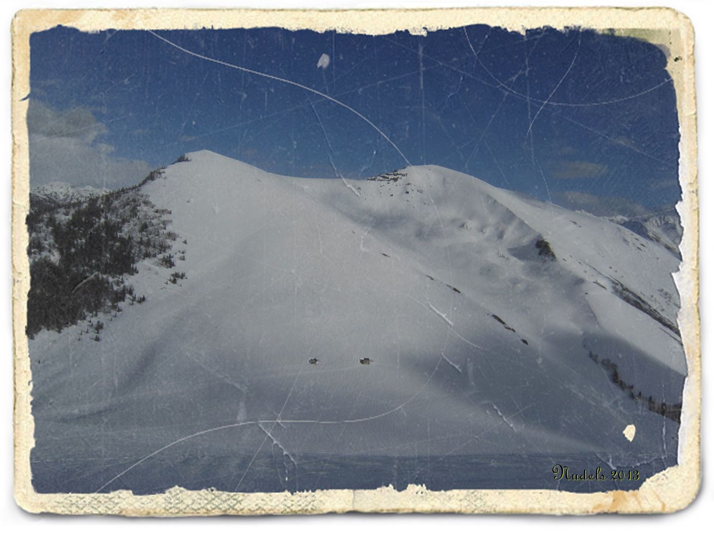
14h37: El Tuc deth Plan dera Serra (1.978 m.) situado en el centro de la imagen, je pues hace ya un par de años que no subo a su cima así que esta tarde voy a cambiar la estadística...
Photo Sharing and Video Hosting at Photobucket

14h37: He quedado con varios raqueter@s pero la meteorología está  algo inestable para una actividad de montaña así que (como suele ser normal) me dejan de lado con excusas inconsistentes, no pasa nada me armo de valor y con raquetas me voy a la conquista de esta montaña.
Photo Sharing and Video Hosting at Photobucket 

14h47: Es algo tarde ya lo sé pero hoy voy buscando un encuentro pacífico, placentero y mágico con la montaña y la soledad.
Photo Sharing and Video Hosting at Photobucket

14h54: Después de un pequeño tramo por carretera en sentido descendente profundizo por la pista forestal ahora siempre en sentido ascendente.
Photo Sharing and Video Hosting at Photobucket

15h12: Llega el momento de coger los atajos, es el momento del PR.Photo Sharing and Video Hosting at Photobucket 

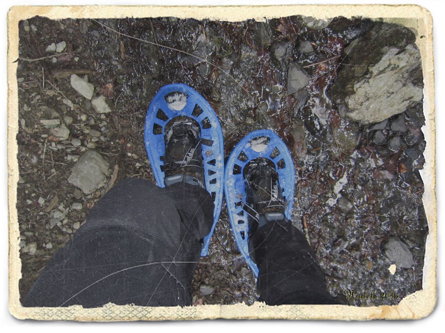
15h14: Esta son mis herramientas captadas en un corto tramo si nieve. 
Photo Sharing and Video Hosting at Photobucket

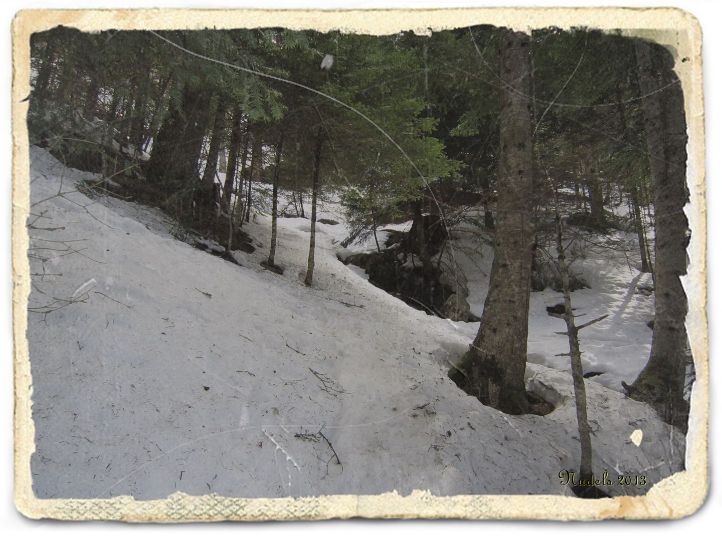
15h22: Sigo disfrutando de una placentera ascensión.
Photo Sharing and Video Hosting at Photobucket

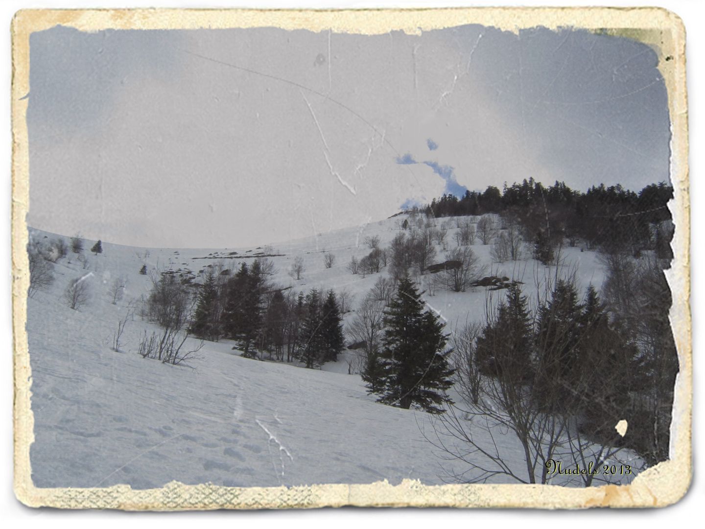
15h42: Bueno esto está cada vez más cercano ahora tendré que escorarme hacia la derecha (W).
Photo Sharing and Video Hosting at Photobucket

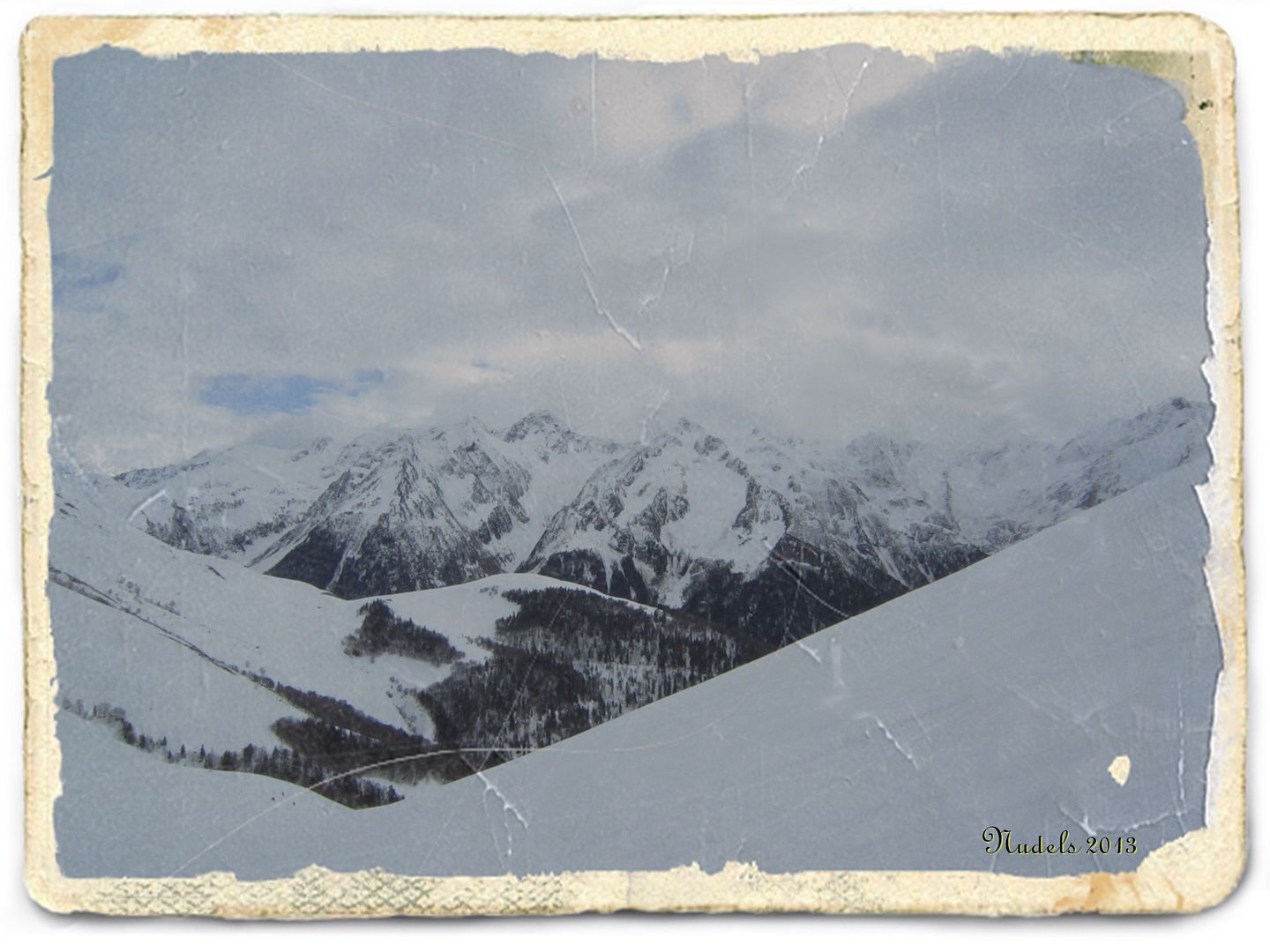
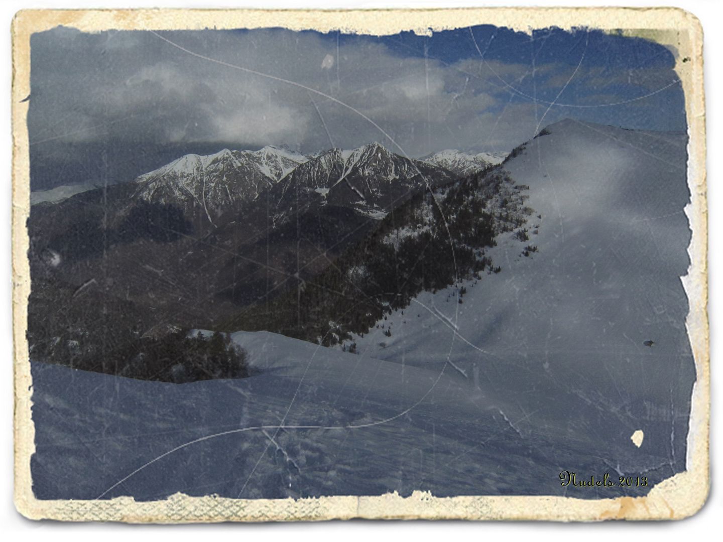
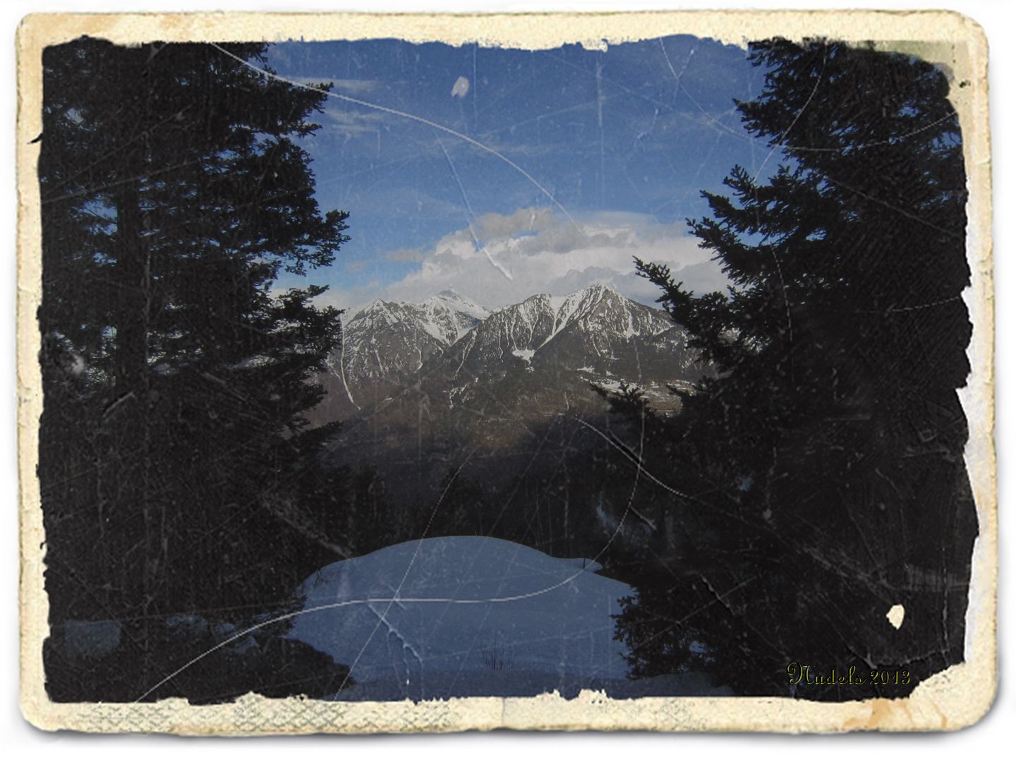
16h19: Ya estoy subiendo por las laderas del Tuc deth Plan sera Serra, abajo queda el Còth de Baretja y hacia el Sur una bonita vista a la zona francesa.
Photo Sharing and Video Hosting at Photobucket

16h19: Hacia el Este lo que ha sido un teatro de operaciones ese invierno, el Tuc d'Aubàs (2.072 m.)y el Pic d'Arres.
Photo Sharing and Video Hosting at Photobucket

16h37: He vencido mis dudas, la inevitables del montañero solitario, porque en la mitad de la ladera he tenido la tentación de darme la vuelta y es que muy cerca de aquí se ha puesto a nevar.
Photo Sharing and Video Hosting at Photobucket

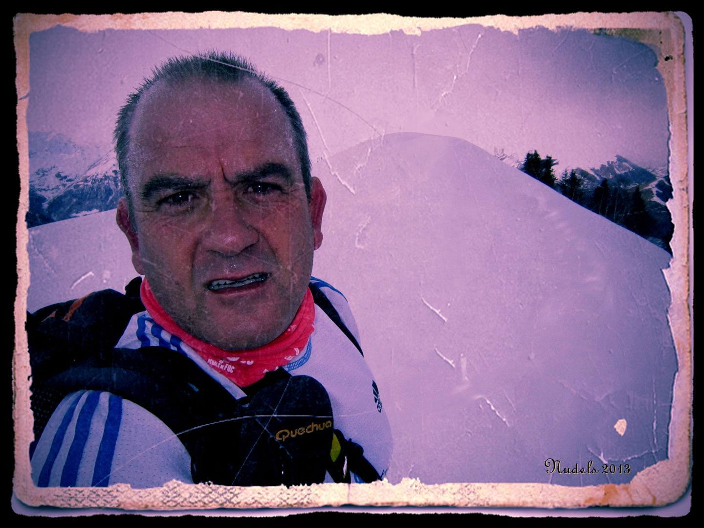
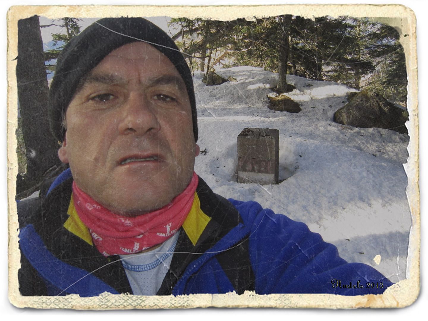
16h38: Fotografía estratégica muy cerca de la cima donde marco en el rostro el esfuerzo que representa para mí subir hasta aquí arriba.
Photo Sharing and Video Hosting at Photobucket

16h38: Pero todo se disipa al darme la vuelta y mirar hacia en Norte o Noreste allí está la Val d'Aran para ser más preciso la parte baja del valle.
Photo Sharing and Video Hosting at Photobucket

16h51: Y lo que es más importante que he llegado a lo más alto del Tuc deth Plan dera Serra (1.978 m.).
Photo Sharing and Video Hosting at Photobucket

16h51: Abajo estás Bagnères de Luchon -Haute Garonne- Francia.
Photo Sharing and Video Hosting at Photobucket

16h51: Me vuelvo.
Photo Sharing and Video Hosting at Photobucket

16h51: La meteorología me desconcierta, a veces nieva otras llueve y a ratos sale el sol.
Photo Sharing and Video Hosting at Photobucket

16h52: Voy en busca de la muga 357 pero está cubierta por la nieve y no es cuestión de ponerse a palear continúo con el descenso.
Photo Sharing and Video Hosting at Photobucket

17h00: Me voy para abajo con la nieve y estas raquetas el descenso es de los disfrutar, eso sí evito la máxima pendiente y me aventuro en un pequeño bosque.
Photo Sharing and Video Hosting at Photobucket
17h04: 
Photo Sharing and Video Hosting at Photobucket
17h23: Jo, de verdad que lo estoy disfrutando pero no puedo distraerme por aquí cerca tiene que haber otro mojón...
Photo Sharing and Video Hosting at Photobucket

17h25: Lo encontré, ahora foto y captura.
Photo Sharing and Video Hosting at Photobucket

17h25: Me voy para abajo.
Photo Sharing and Video Hosting at Photobucket

18h20: 
Photo Sharing and Video Hosting at Photobucket

18h24: Llego cerca de la carretera.
Photo Sharing and Video Hosting at Photobucket

18h29: Y de nuevo al Portilhòn.
Photo Sharing and Video Hosting at Photobucket

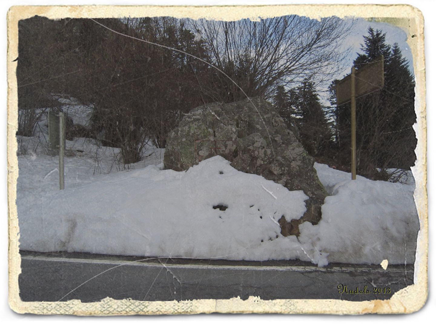
18h30: Aquí la muga 366 que me sirve para cerrar este reportaje.
Photo Sharing and Video Hosting at Photobucket

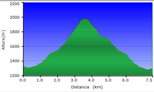
Datos del perfil obtenidos por MapSource.
Photo Sharing and Video Hosting at Photobucket