Un cúmulo de circunstancia y un error en la interpretación de los mapas me llevó a hollar una de las puntas del Puis de Gerber (2.738 m.).
SITUACIÓN:Salida desde el parkuing de La Peülla de Baqueira-Beret, sector Bonaigua (Pallars Sobirà).
OBSERVACIONES Y CURIOSIDADES :
Al track le falta algo más de un kilómetro por pérdida de señal al inicio de la actividad.Es conveniente llevar agua desde la salida.
Telefonía móvil: Con escasa cobertura Movistar.
Las fotografías están tomadas con una cámara digital OLYMPUS Camedia de 3.2 Megapixel.
La mayoría de los nombres toponímicos están escritos en catalán, según datos del ICC.
La mayoría de los nombres toponímicos están escritos en catalán, según datos del ICC.
DATOS TÉCNICOS: REFERENCIA: Mapa excursionista Alpina Escala 1:25.000.
Actividad: Senderismo de montaña cerca de Sorpe, Cataluña (España)
Distancia recorrida: Aproxi. 14,500 kilómetros
Altitud min: 1.905 metros, max: 2.735 metros
Desnivel acum. subiendo: Aprox. 930 metros, bajando: Aprox. 930 metros
Grado de dificultad: Moderado por el tramo final por las canales.
Tiempo: 6 horas 40 minutos
Fecha: 1 de octubre de 2015
Finaliza en el punto de partida (circular): Sí
© nudels Tots els drets reservats
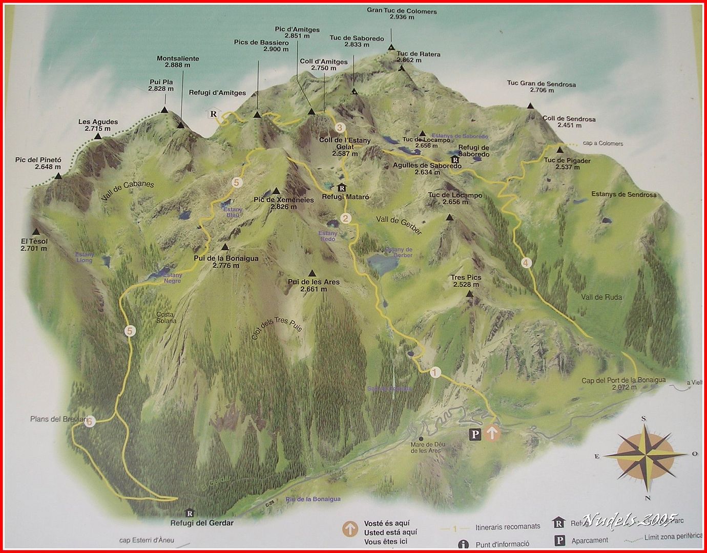
Un plano de la zona.
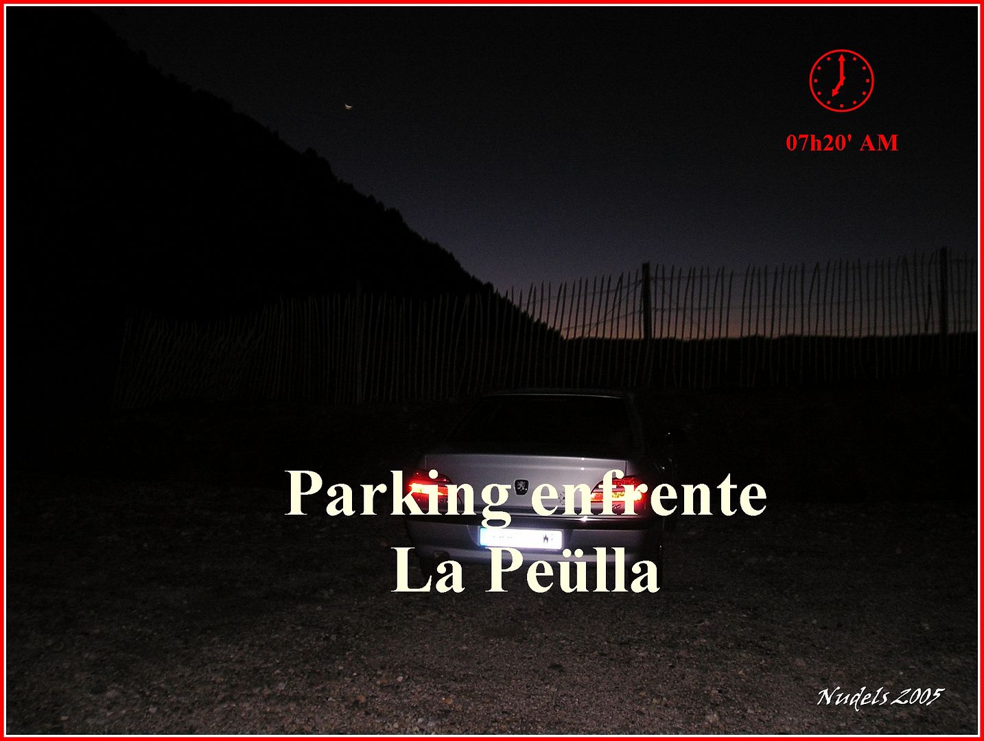
07h20: Una vez rebasado el Puerto de la Bonaigua por la carretera C-28 transito unos kilómetros con dirección a Esterri d'Aneu y cuando llego a la altura del telesilla de la zona de La Peülla, de la estación de esquí Baqueira-Beret (Sector Banaigua) encuentro a la izquierda un pequeño parking donde estaciono el vehículo.
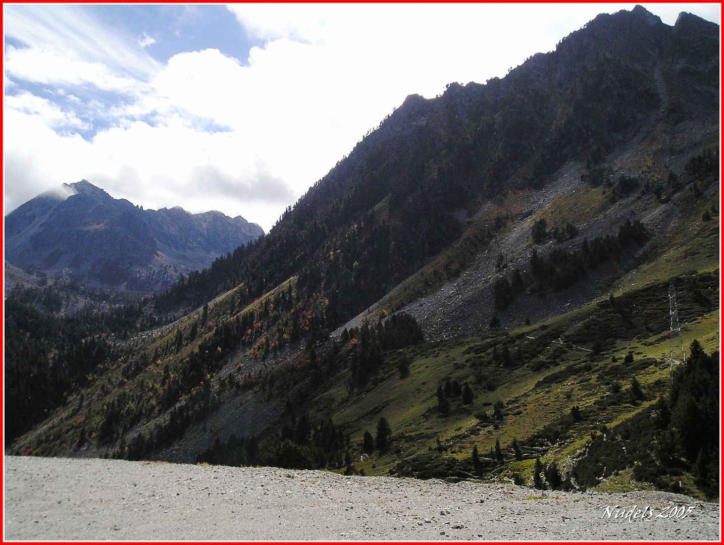
La entrada a la Vall de Gerber. (Fotografía tomada a las 14h02' al regreso de la actividad).

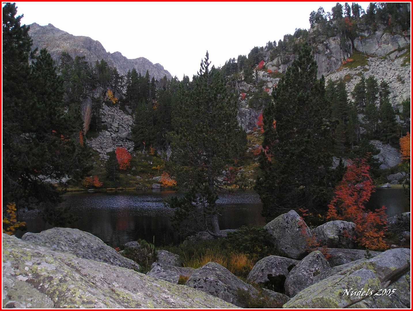
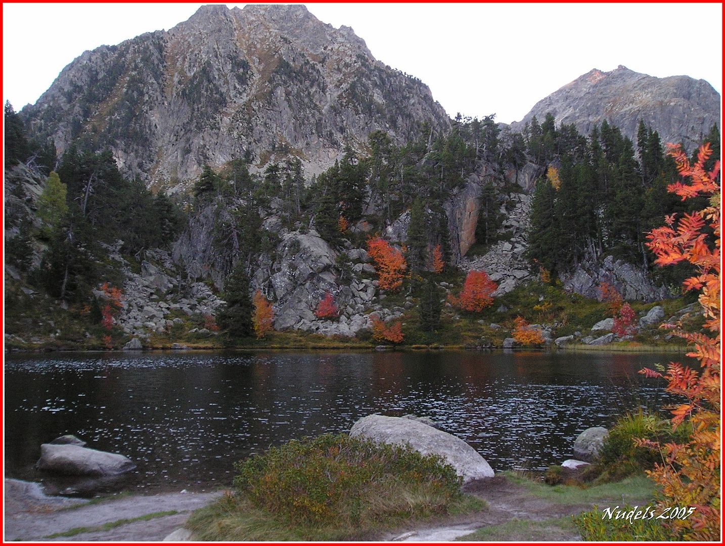
07h54: La Estanyola de Gerber.
07h55: Otra fotografía.
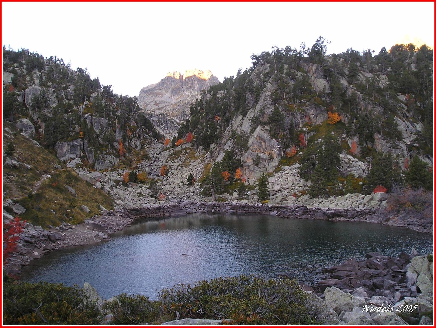
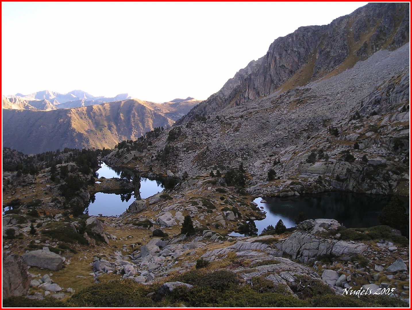
08h18: El Estany Petit de Gerber.

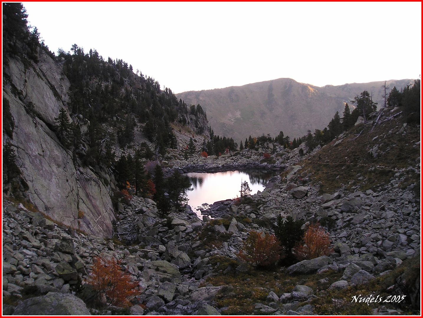
08h25: Una mirada atrás.
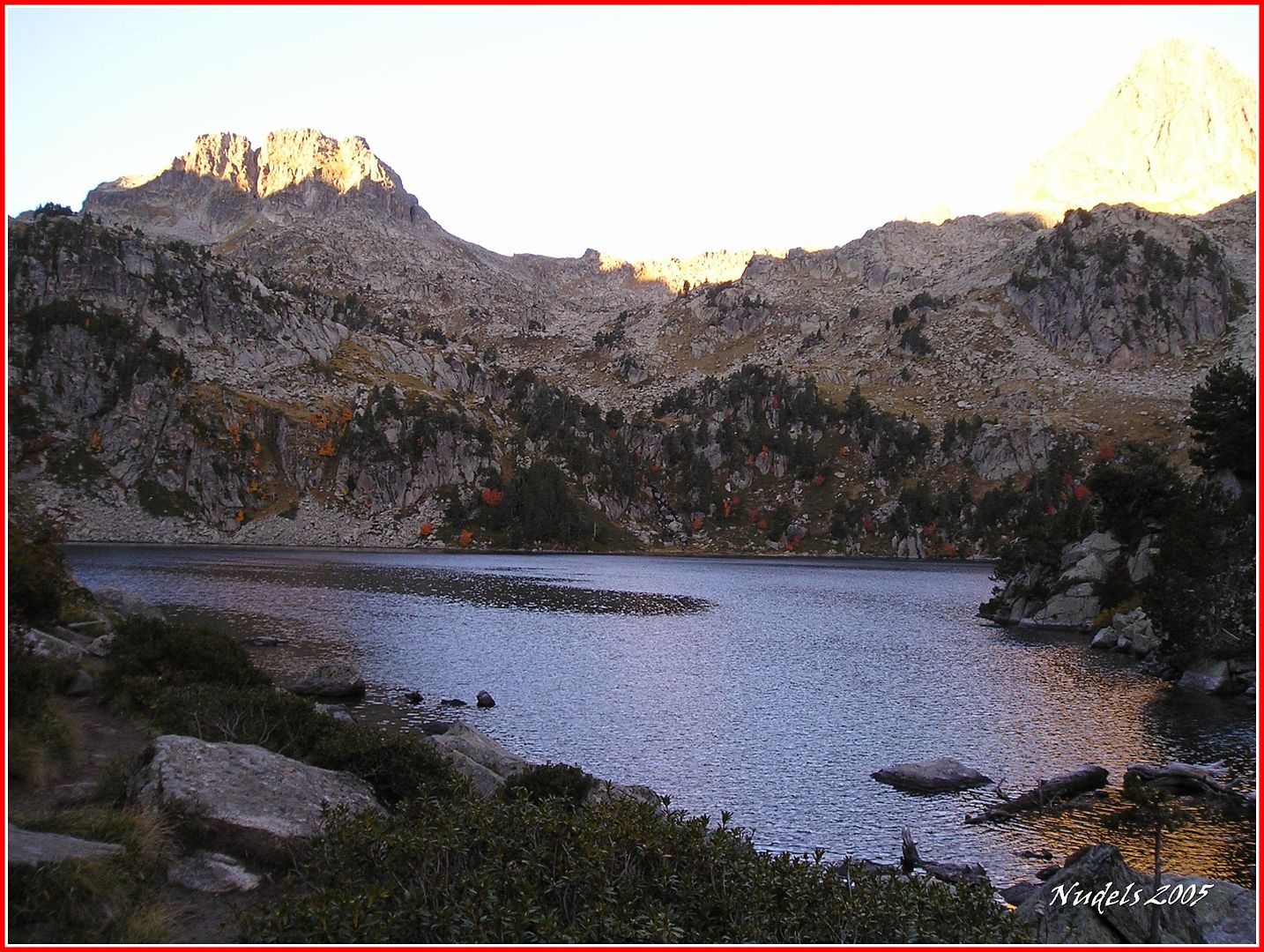
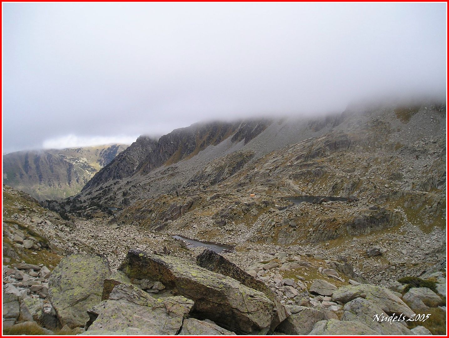
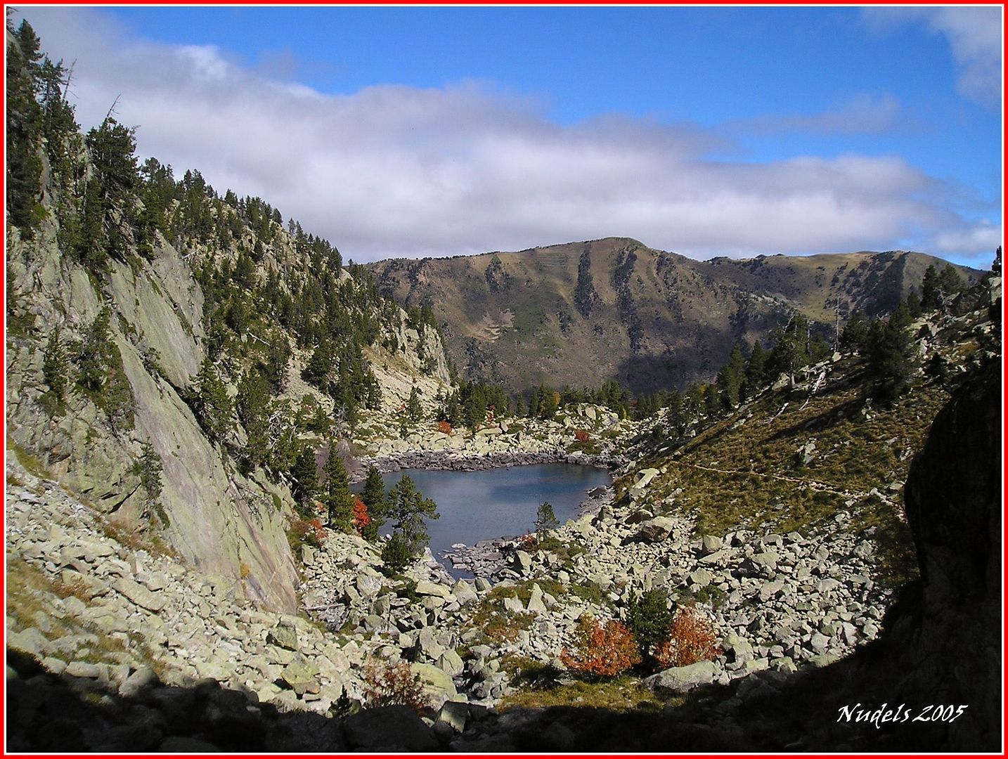
08h29: El Estany de Gerber, al fondo Los Puis de Gerber.
08h56: Tomando altura sobre el Estany de Gerber.

08h58: Sigo siempre por un sendero bien balizado, siguiendo unas marcas de color verde y roja.

09h13: Según voy subiendo dejo a mi izquierda (Este) el Estany Redó y el Estany Llong, la fotografía está tomada una vez superado los lagos.
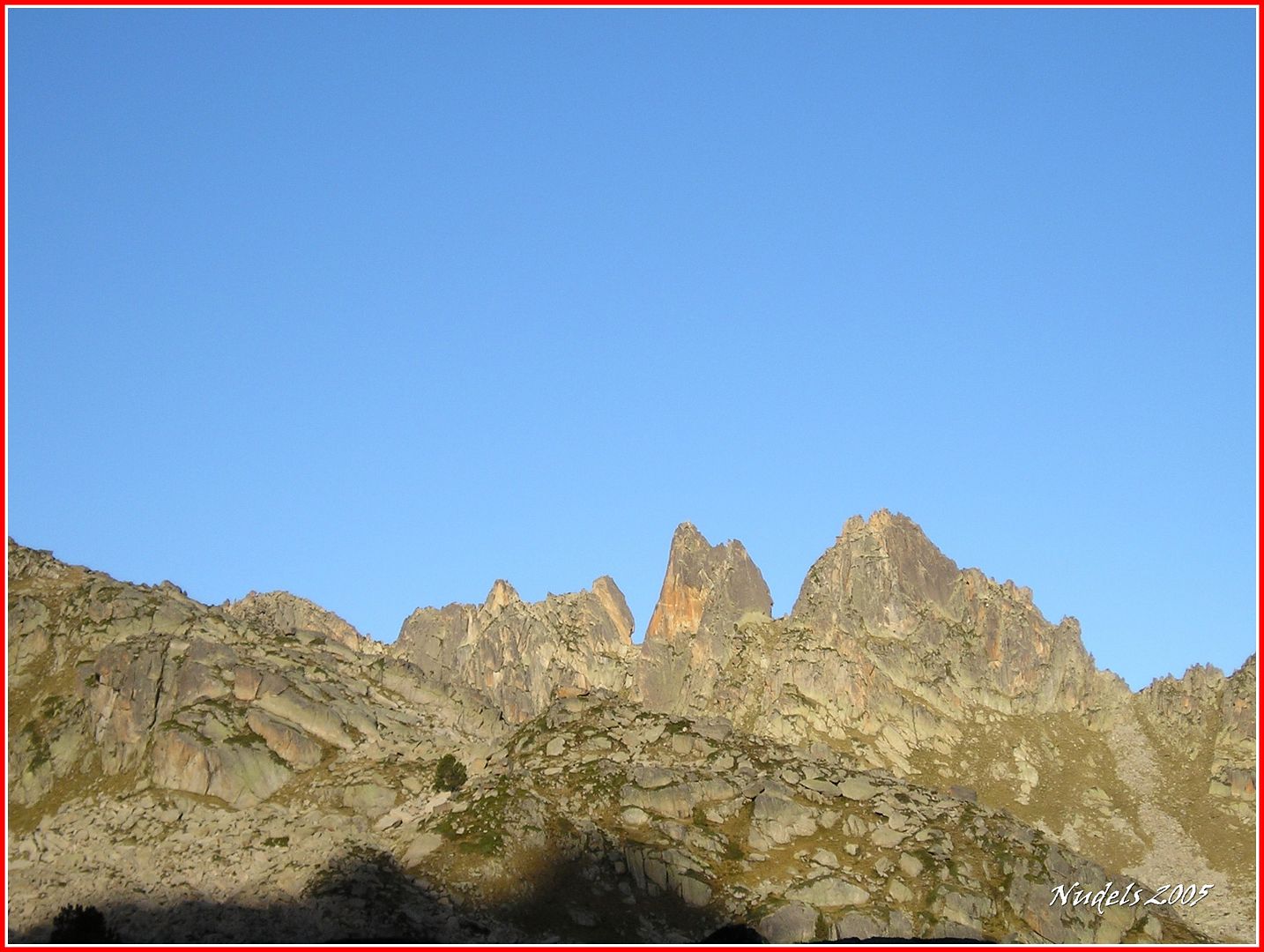
09h17: Asoman Les Agulles de Saboredo.
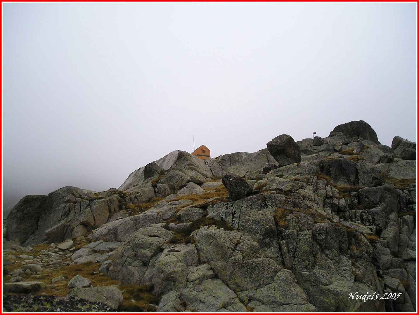
09h25: Al fondo el Pic d'Amitges y a la derecha el Refugi Mataró.

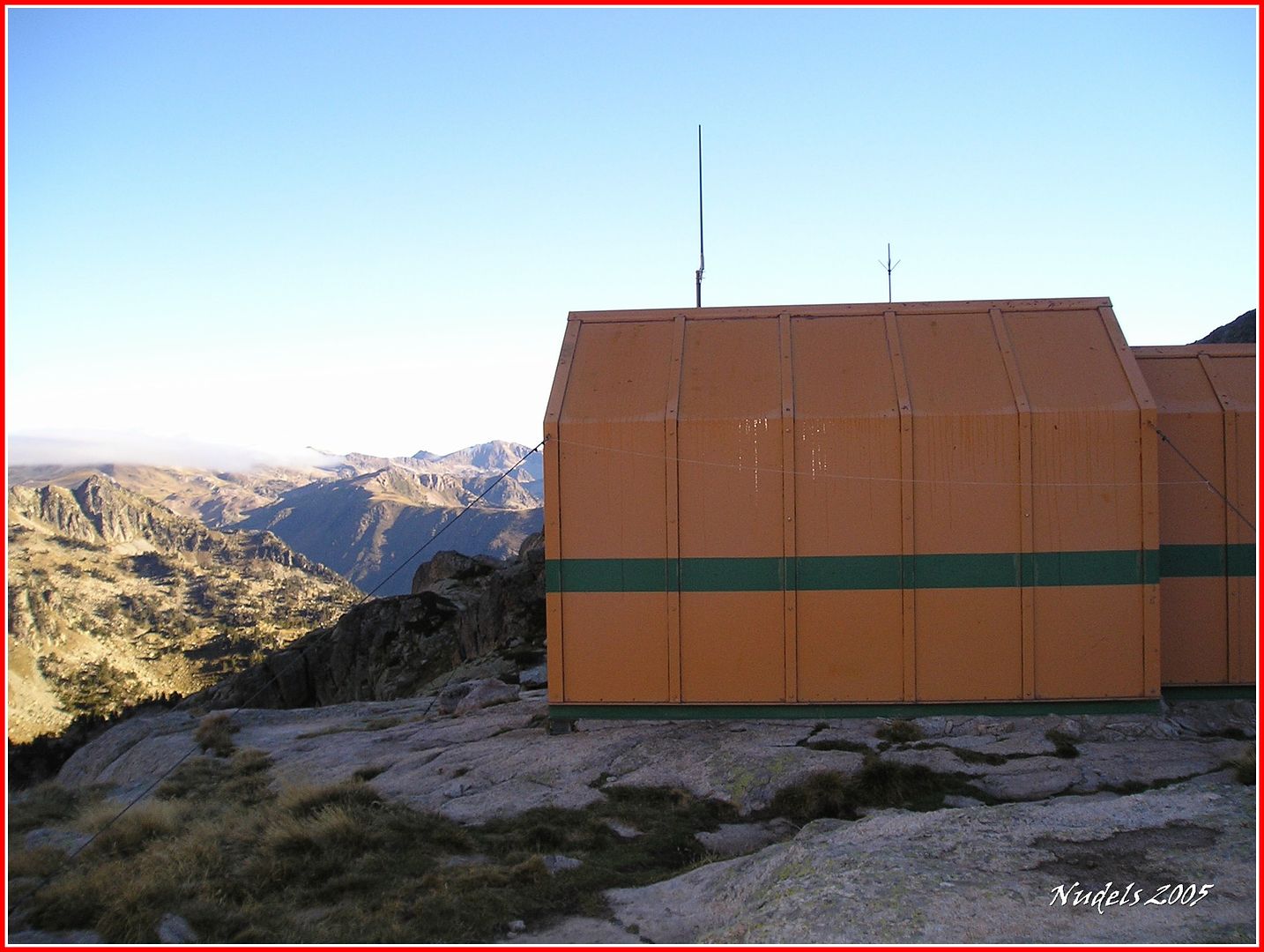
09h27: Una fotografía llegando al refugio.
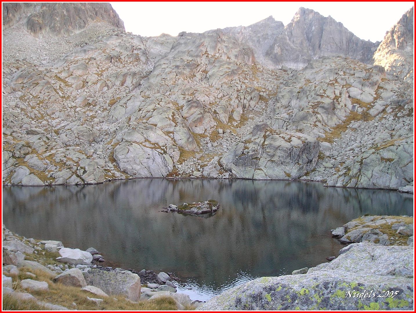
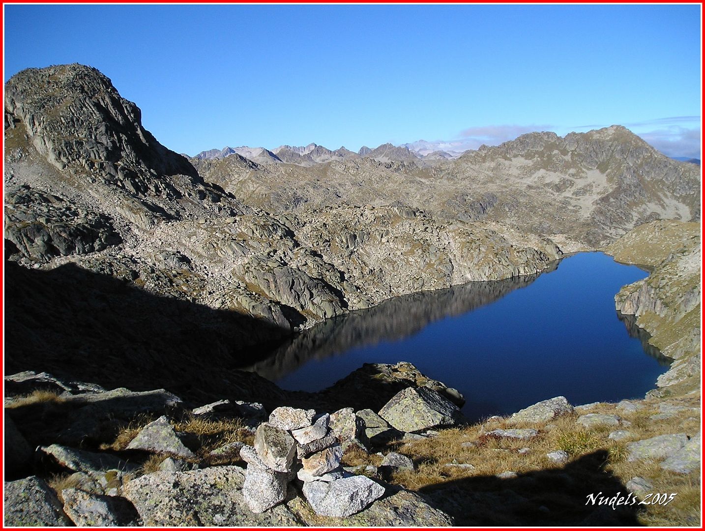
09h27: El Estany de l'Illa que está muy cerca del Refugi Mataró, al fondo los Picos Bassiero.
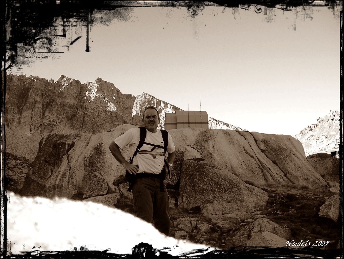
09h38: Una visita al refugio.
10h08: En media hora estoy en el (collado) Clòt der Lac Glaçat.
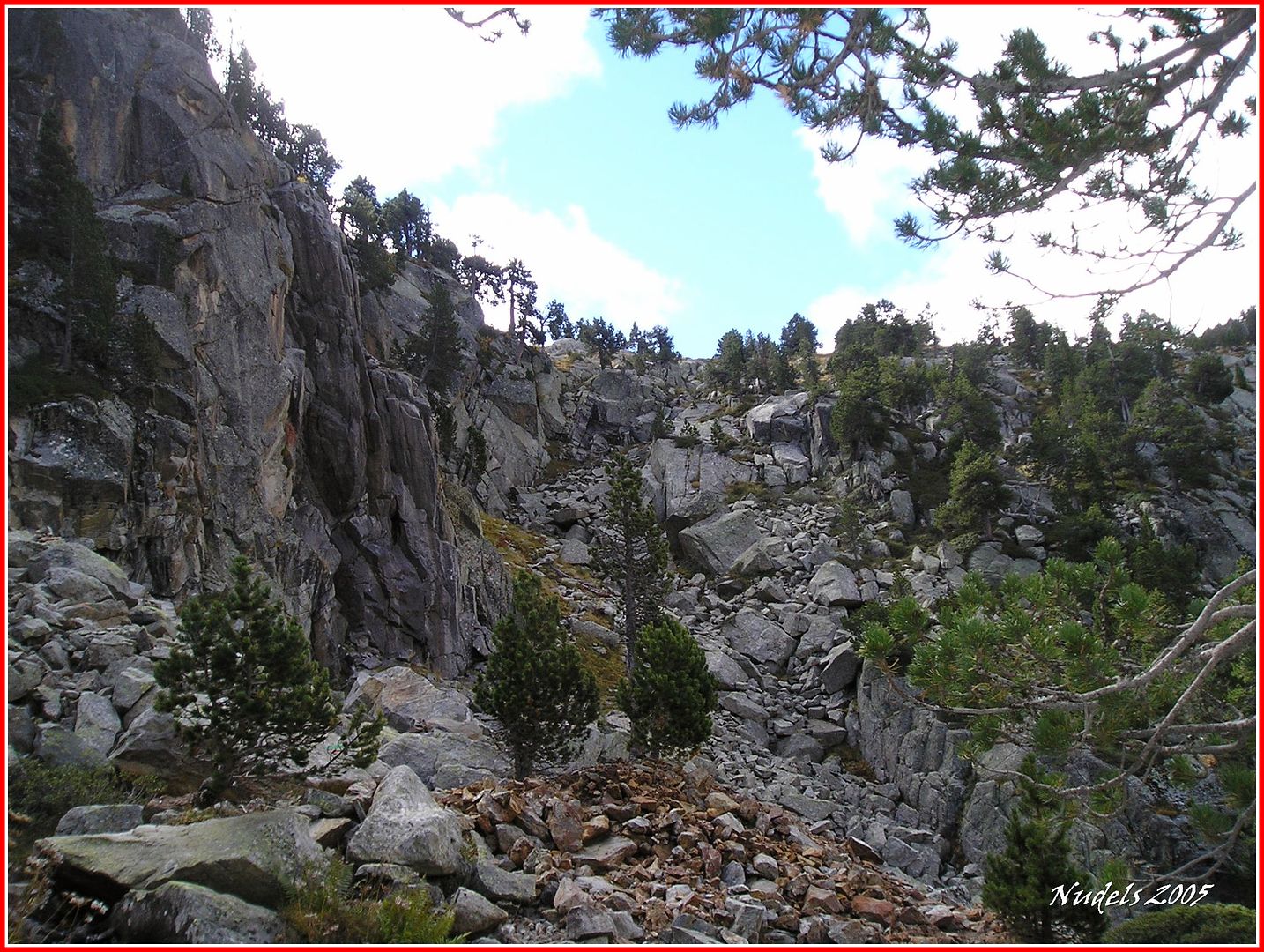
10h38: Y desde el collado hacia el Sur intento subir por una de las canales de los Puis de Gerber.
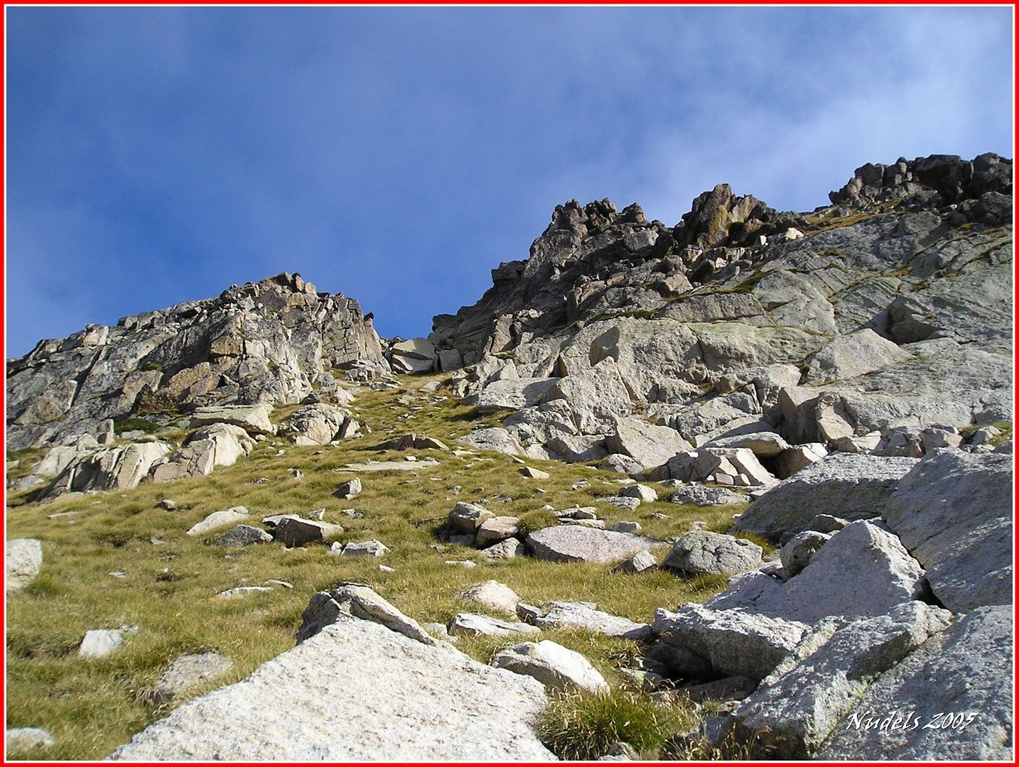
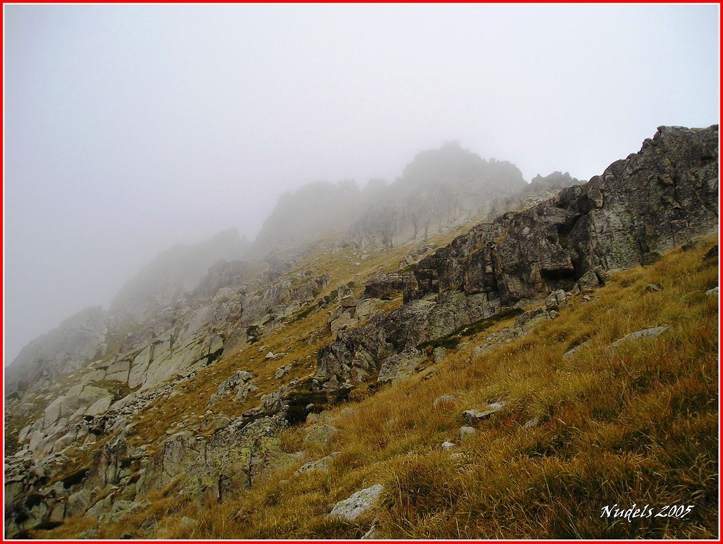
10h53: El desnivel es considerable y la pendiente hace que tome precauciones... 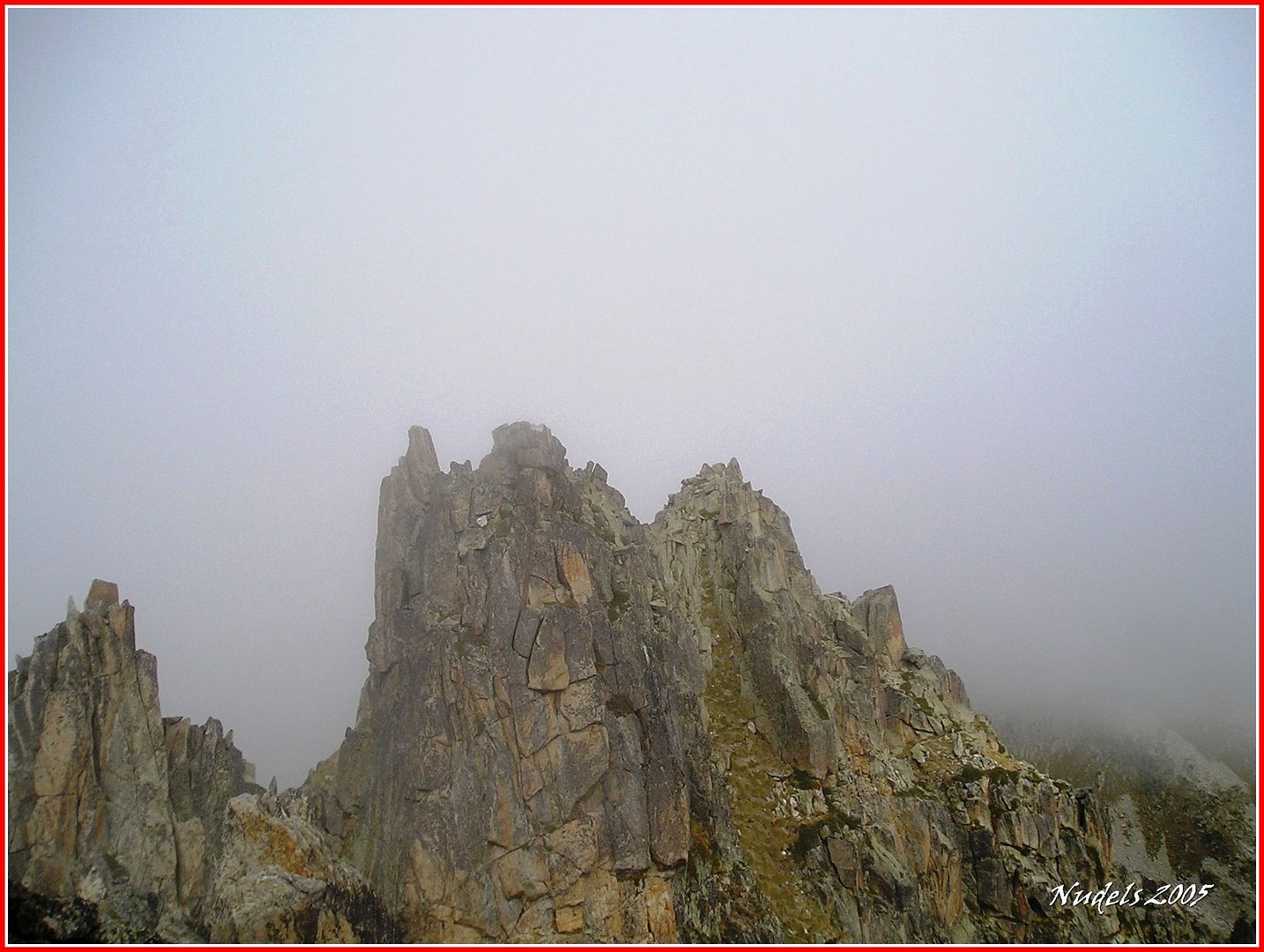
10h57: ...finalmente llego a una de sus agujas.
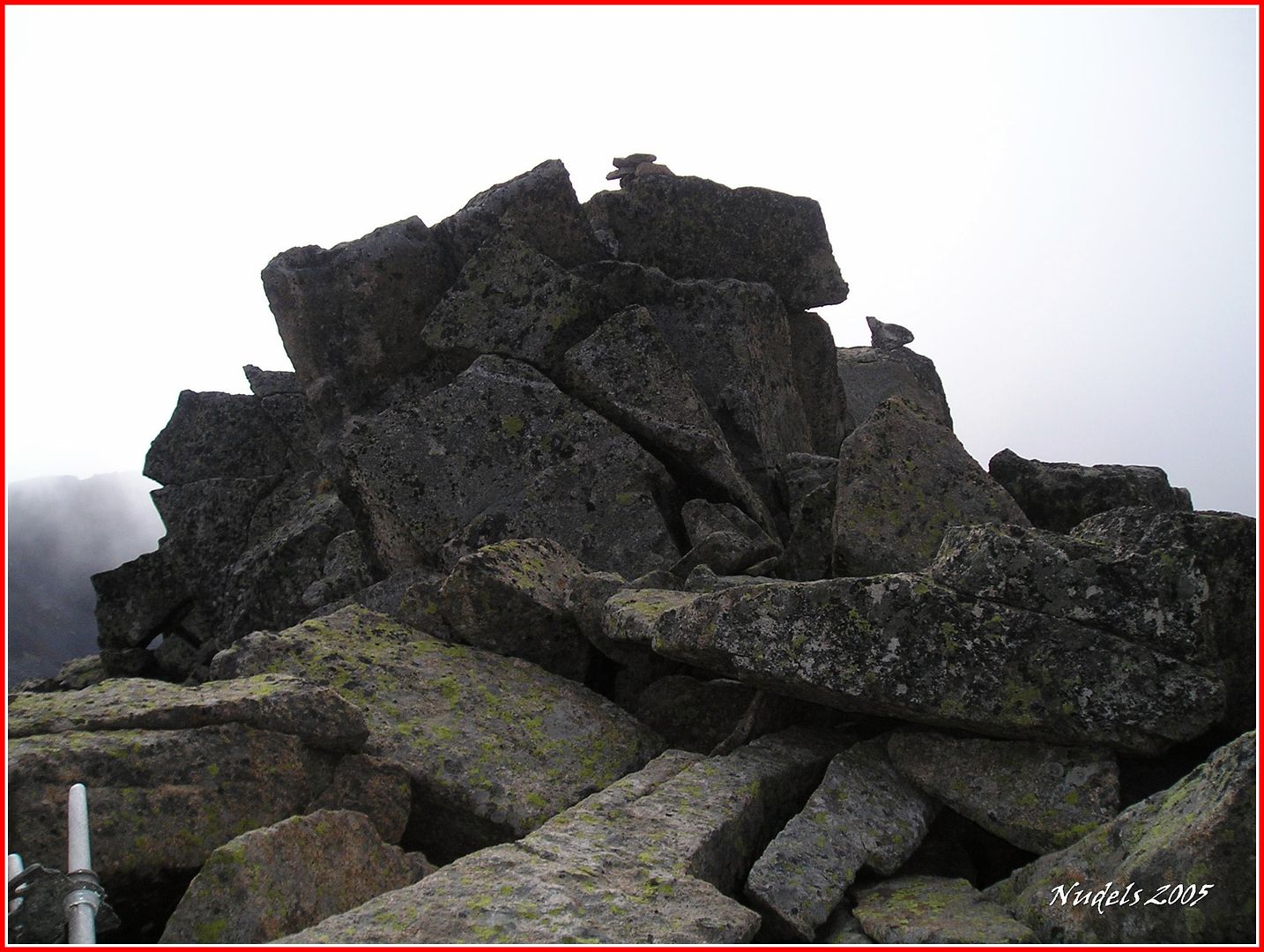
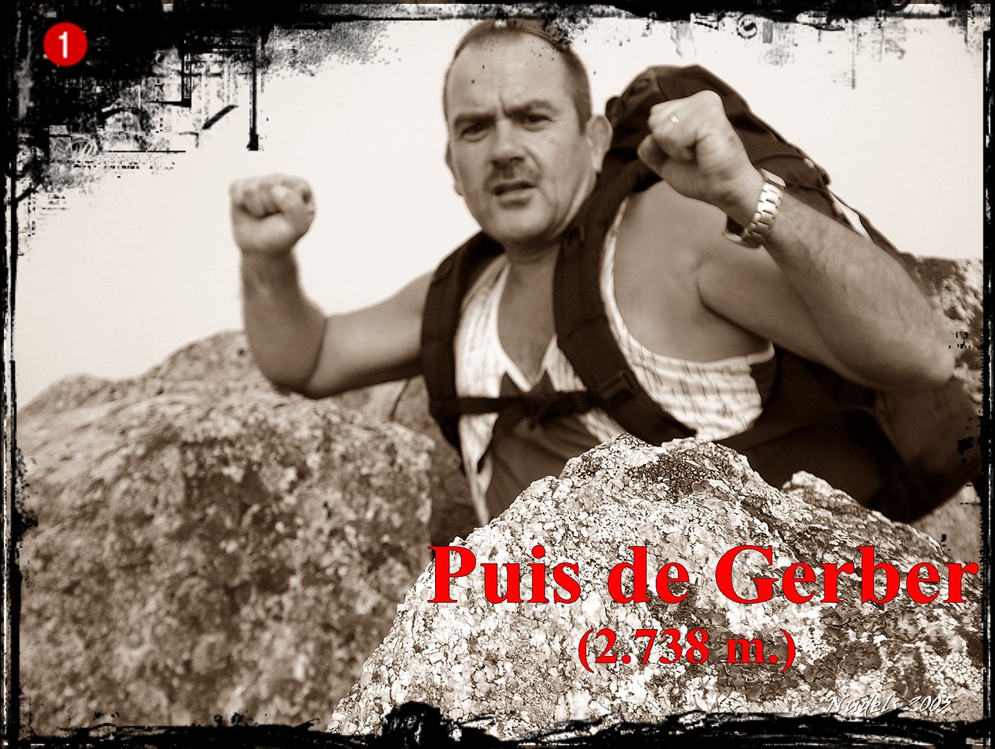
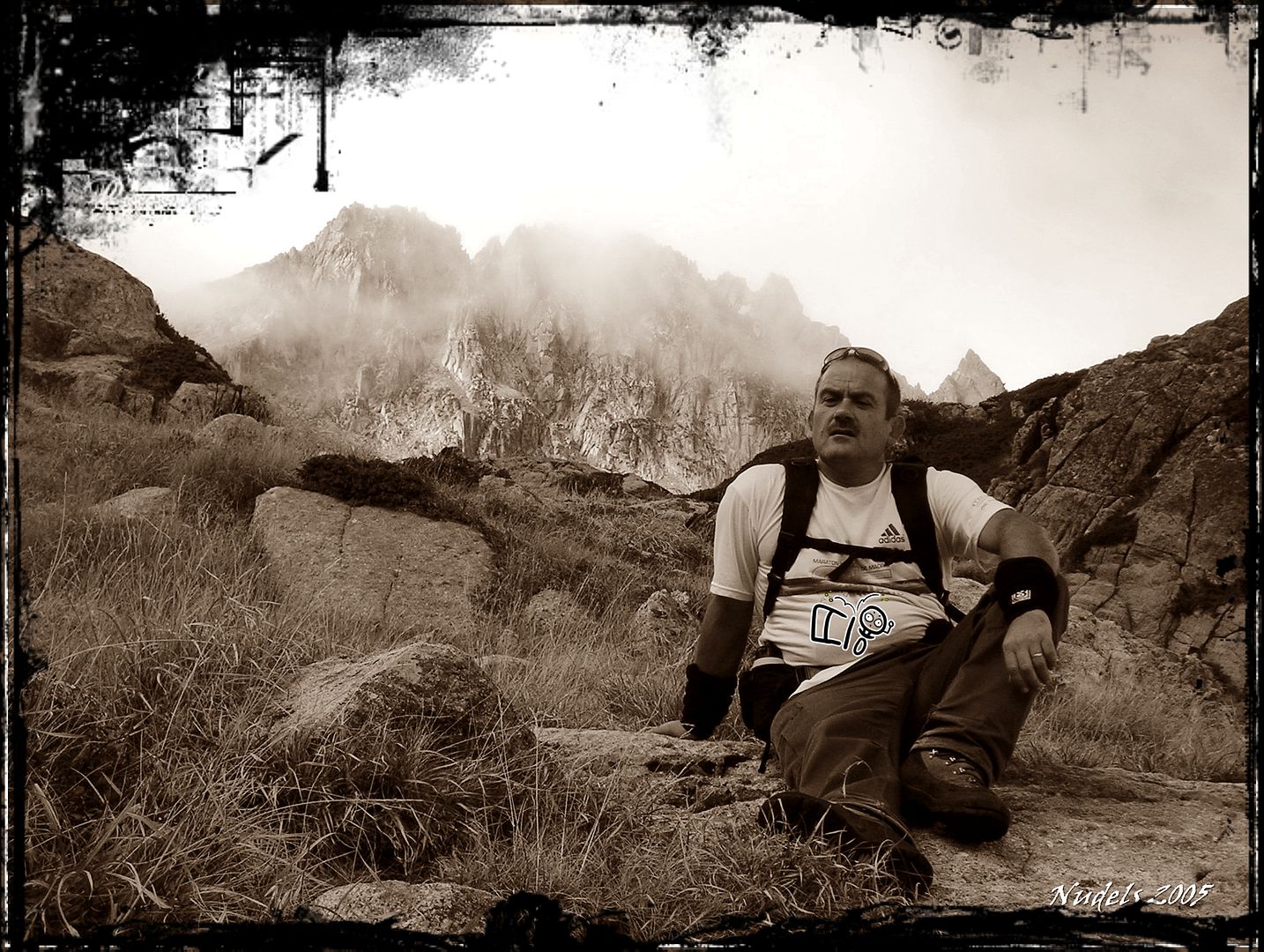
10h54: Lo voy a celebrar porque estoy en lo más alto de una de las cimas de los Puis de Gerber (2.738 m.).
10h54: Antes de que la niebla lo cubra todo tomaré unas cuantas fotografías, ésta hacia el Oeste a la parte de Saboredo.

10h54: Otra hacia el Sur, hacia la Vall de Gerber por donde he subido.. 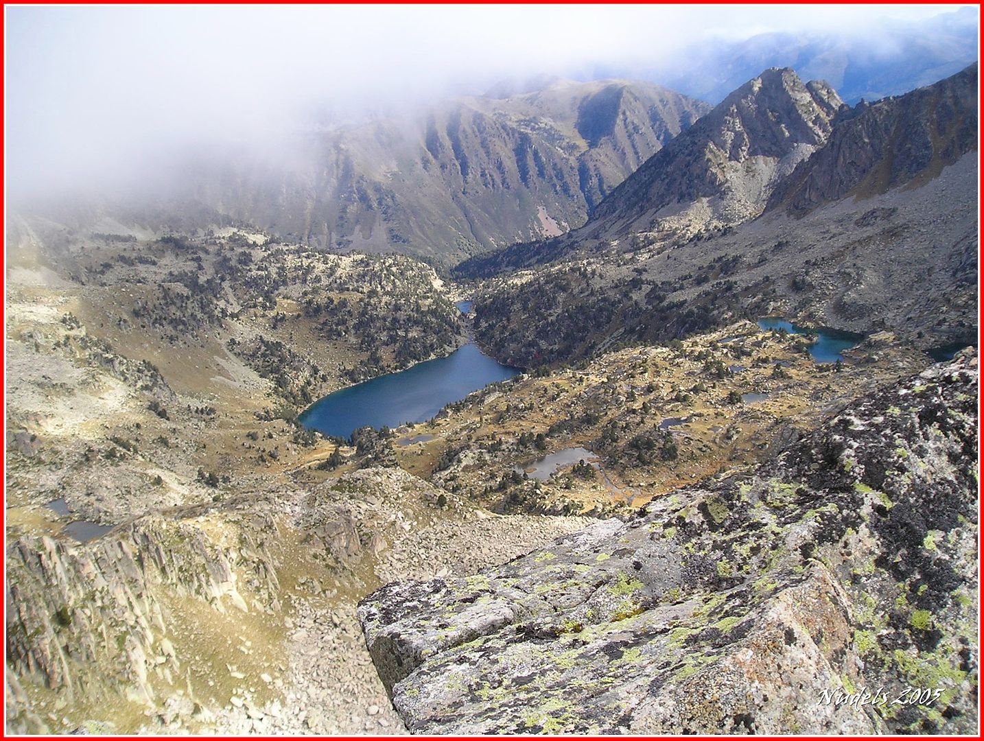
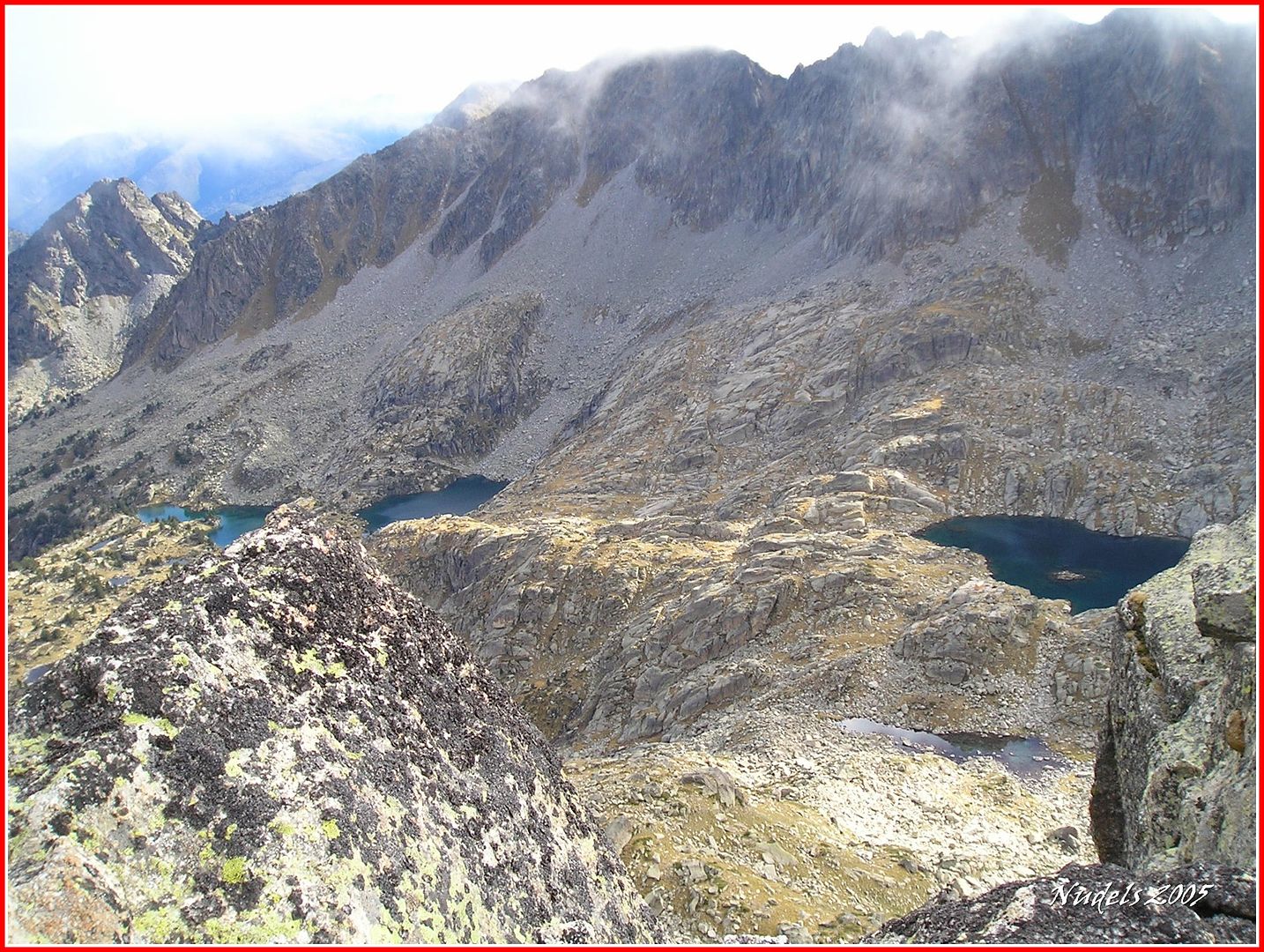
10h54: Y una hacia el Este, con agudeza se observa el Refugi de Mataró encima del Estany de l'Illa.
11h15: Las nubes se apoderan de la montaña así que tiro para abajo.

11h45: Ya estoy bajado del (collado) Clòt der Lac Glaçat.

12h05: Dejo el refugio atrás.

12h09: Y ya sin demora siguiendo la marca verde y roja sigo descendiendo. 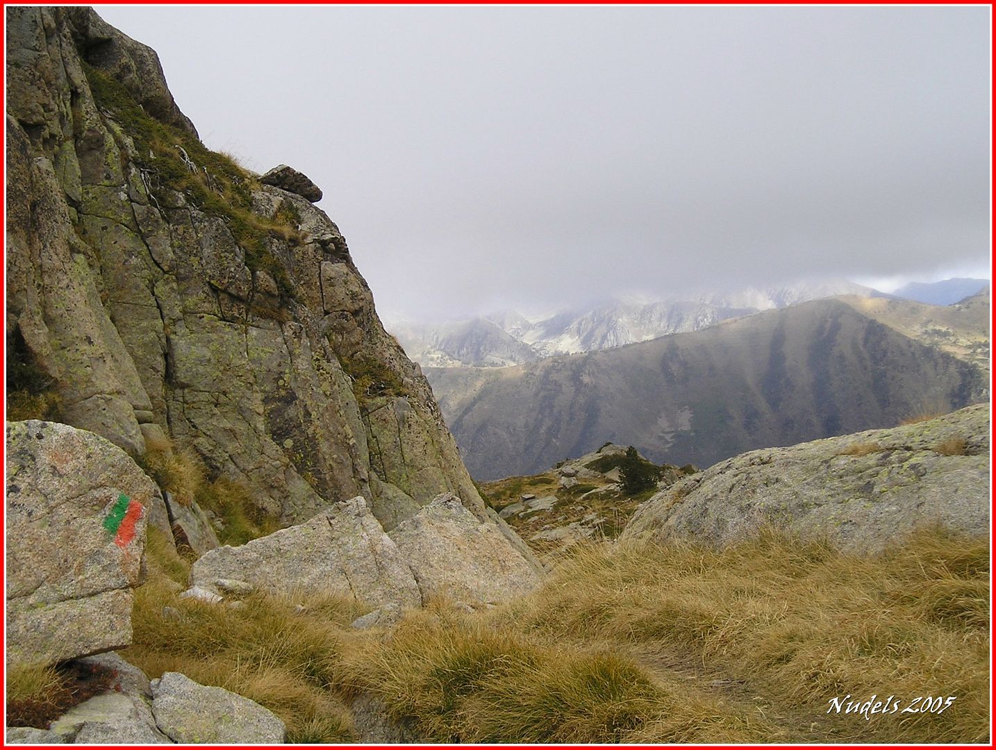

12h22: Me tomo un respiro con los Puis de Gerber a mi espalda.

12h40: El Estany de Gerber, veo a tres montañer@s subiendo.

12h50: Una mirada atrás, el Pas del Os esa canal por donde transcurre el sendero.

13h04: El Estany Petit de Gerber.

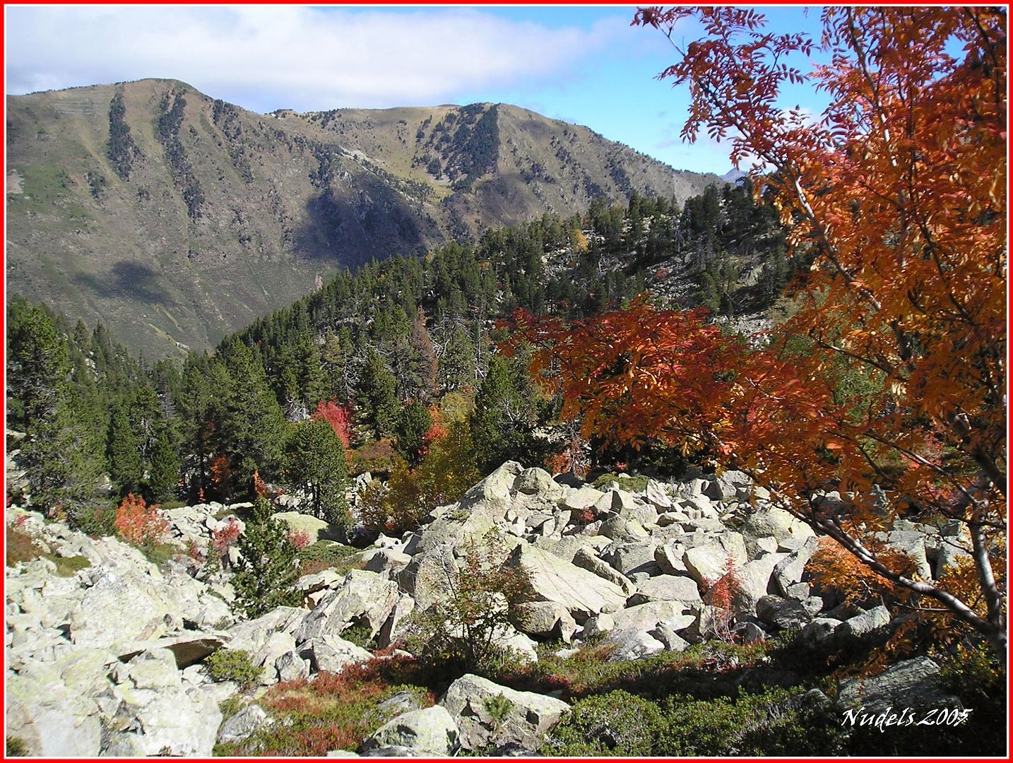
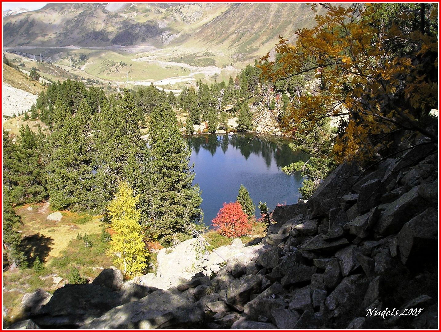
13h15: El Otoño está a este valle.

13h25: La Estanyola de Gerber, al fondo el parking.

13h40: También aparece el Puerto de la Bonaigua.
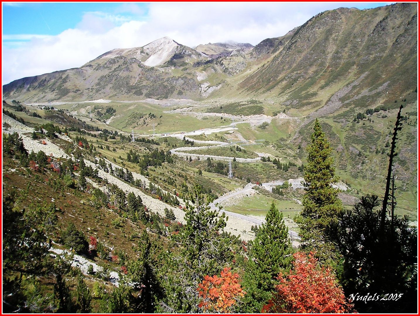

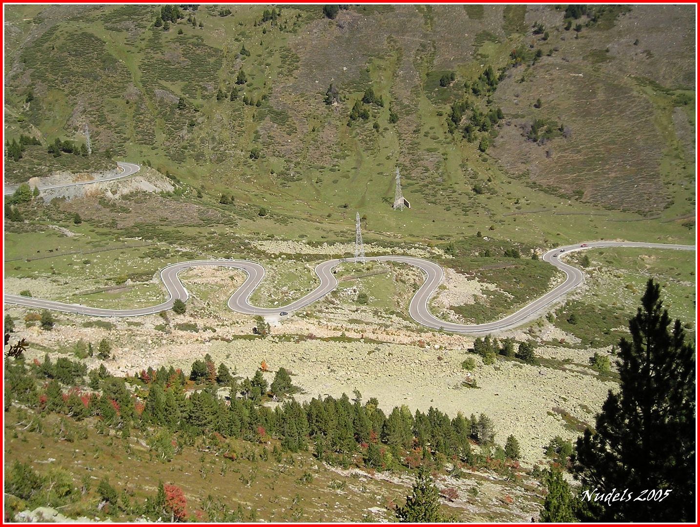
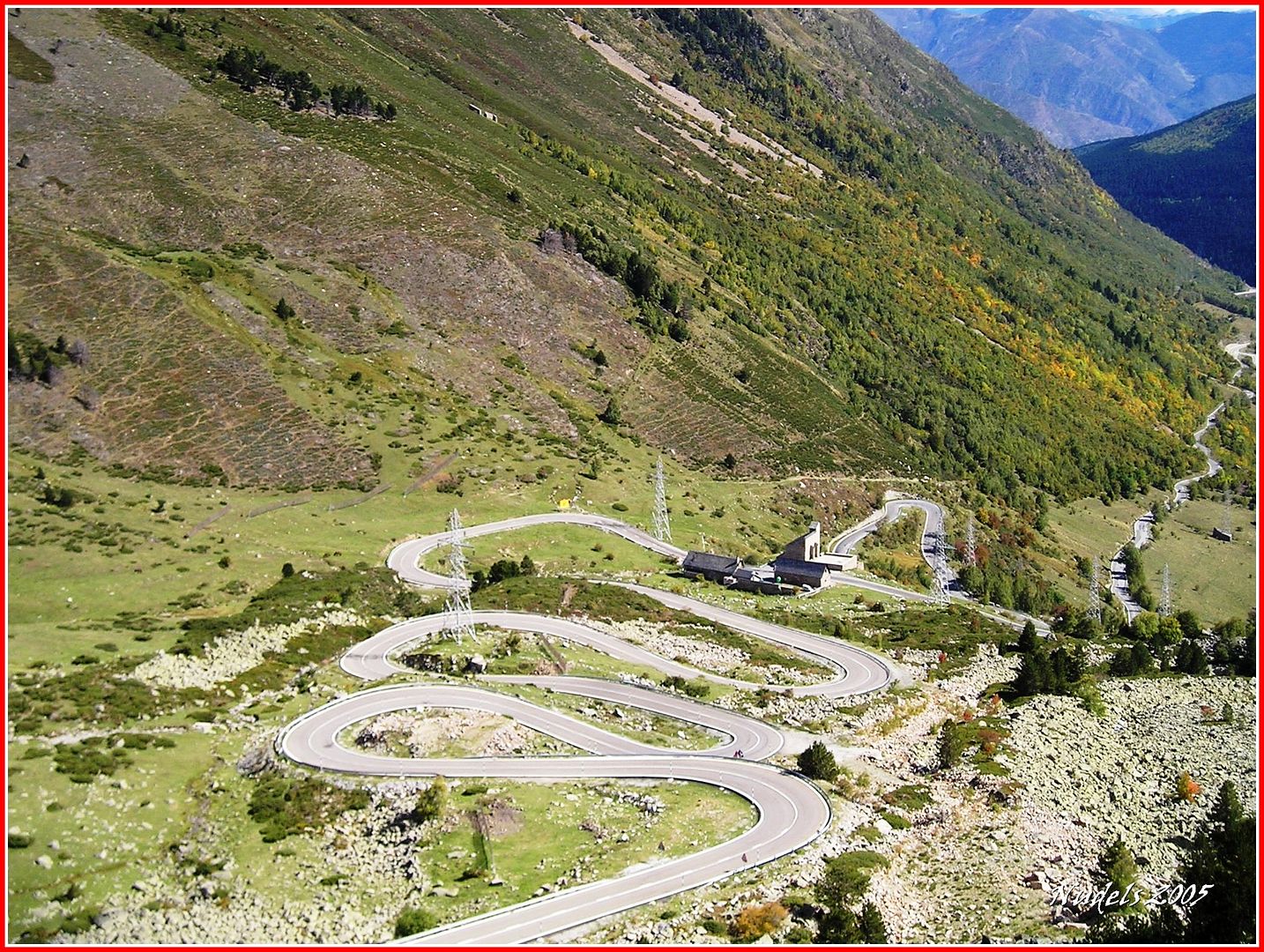
13h41: Bajando observo las curiosas formas de la carretera C-28.

13h44: También se divisa el Refugi d'Ares y la Ermita de la Verge d'Ares.
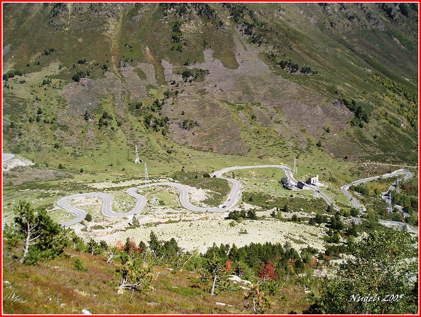

13h49: Con más detalle.

14h00: Y aquí lo dejo, hasta la próxima.


No hay comentarios:
Publicar un comentario