Ascensión al Tuc deth Pòrt de Vielha (2.605 m.) con esquís de travesía una excitante jornada en solitario y es que no me crucé con nadie en toda la mañana, esta parte de la montaña tiene poca nieve y mucho hielo además me acompaño un viento "moderado" y frío, la actividad con raquetas quizás hubiera sido más llevadera.
OBSERVACIONES Y CURIOSIDADES :
OBSERVACIONES Y CURIOSIDADES :
Llevar agua desde el inicio de la actividad.
Telefonía móvil: Con poca cobertura Movistar en la cima hay cobertura.
Fotografía: Instantáneas capturadas con una cámara digital Fujilm 100.
DATOS TÉCNICOS: REFERENCIA:Mapa excursionista: Alpina Escala 1:25.000
Actividad: Esquí de travesía cerca de Vielha (Lleida) Catalunya(España)
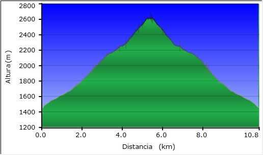
Distancia recorrida: 11,47 kilómetros
Altitud min: 1.434 metros, max: 2.615 metros
Desnivel acum. subiendo: 1.145 metros, bajando: 1.160 metros
Grado de dificultad: Moderado
Tiempo: 6 horas 44 minutos
Fecha: 25 de enero de 2012
Finaliza en el punto de partida (circular): Sí
El track
© nudels Tots els drets reservats
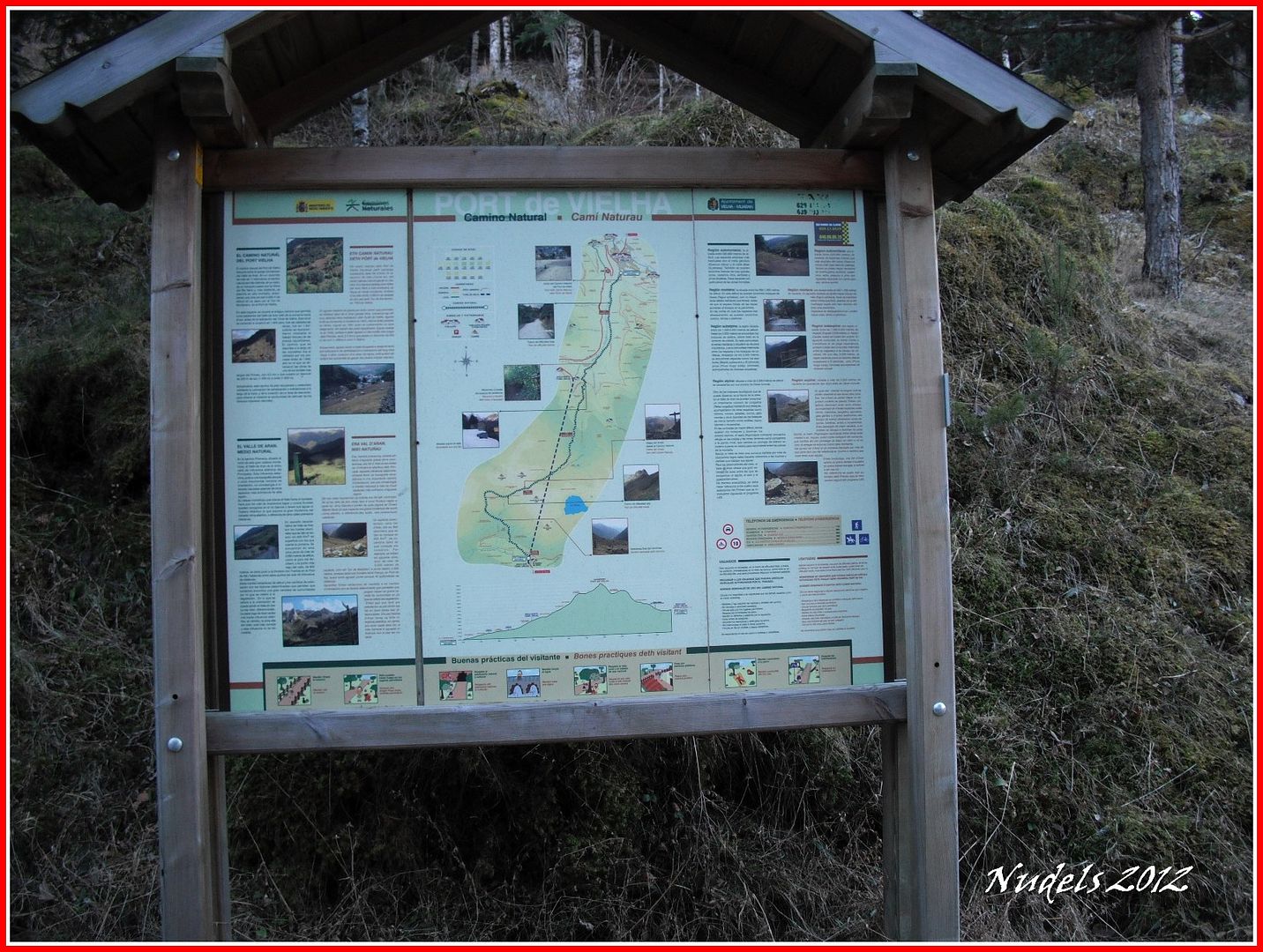
Un cartel informativo del intinerario de la subida al Pòrt de Vielha. (Fotografía tomada a las 15h29' al regreso de la actividad).
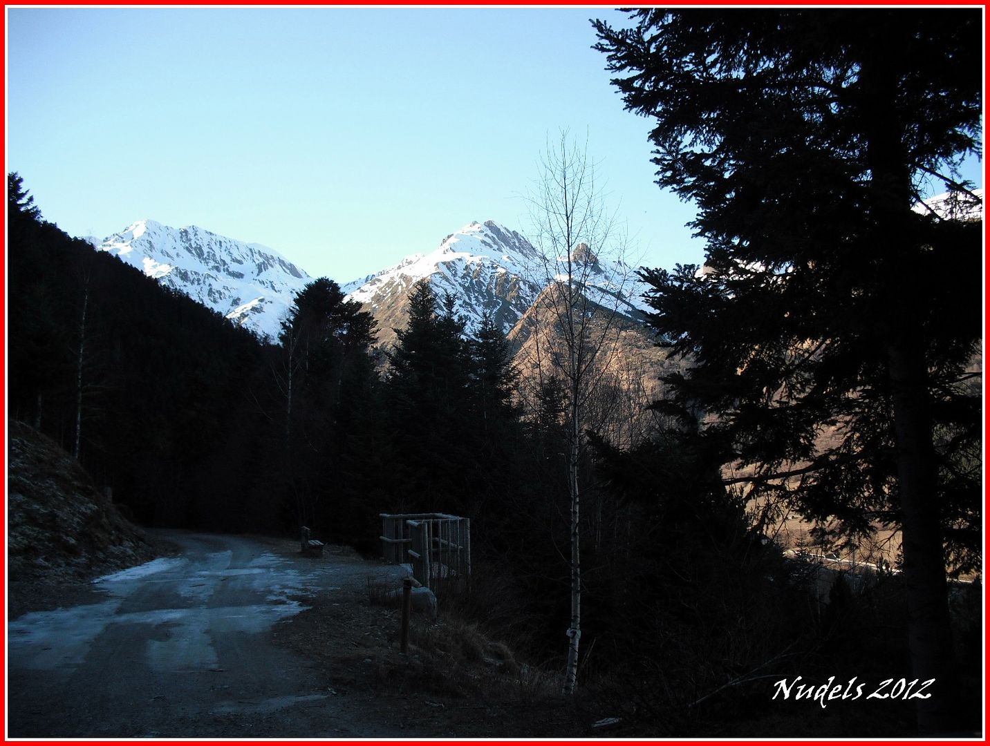
Estaciono en vehículo y prepara los bártulos... (Fotografía tomada a las 15h29' al regreso de la actividad).
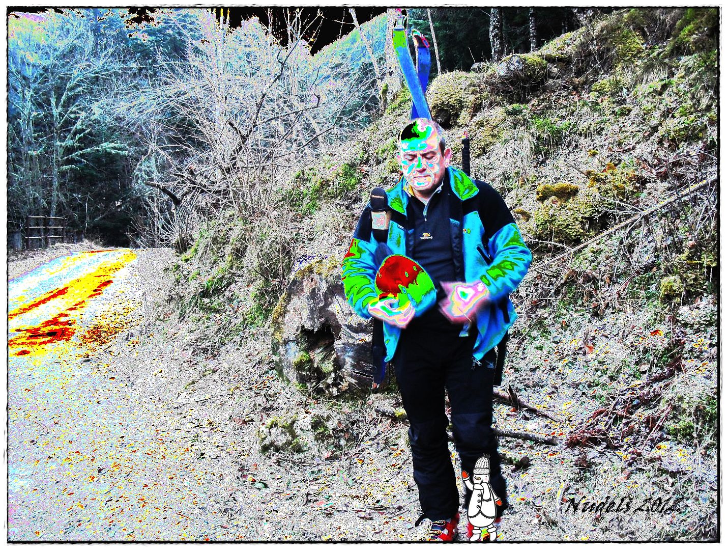
Y ahora querido lector/a permíteme que en alguna parte de la narración muestre el niño que llevo dentro:
08h24: La montaña hoy está algo complicada la falta de precipitaciones y el frío han transformado buena parte de la nieve en nieve helado o hielo, así que voy librar una dura batalla para subir a lo más alto del Tuc deth Pòrt de Vielha (2.605 m.) y es por eso que hoy usaré técnicas de camuflaje, maquillaje de guerra (the war colors) que aprendí de los indios "Arapajoes" y no es que sirva de mucho pero al menos así voy más tranquilo.
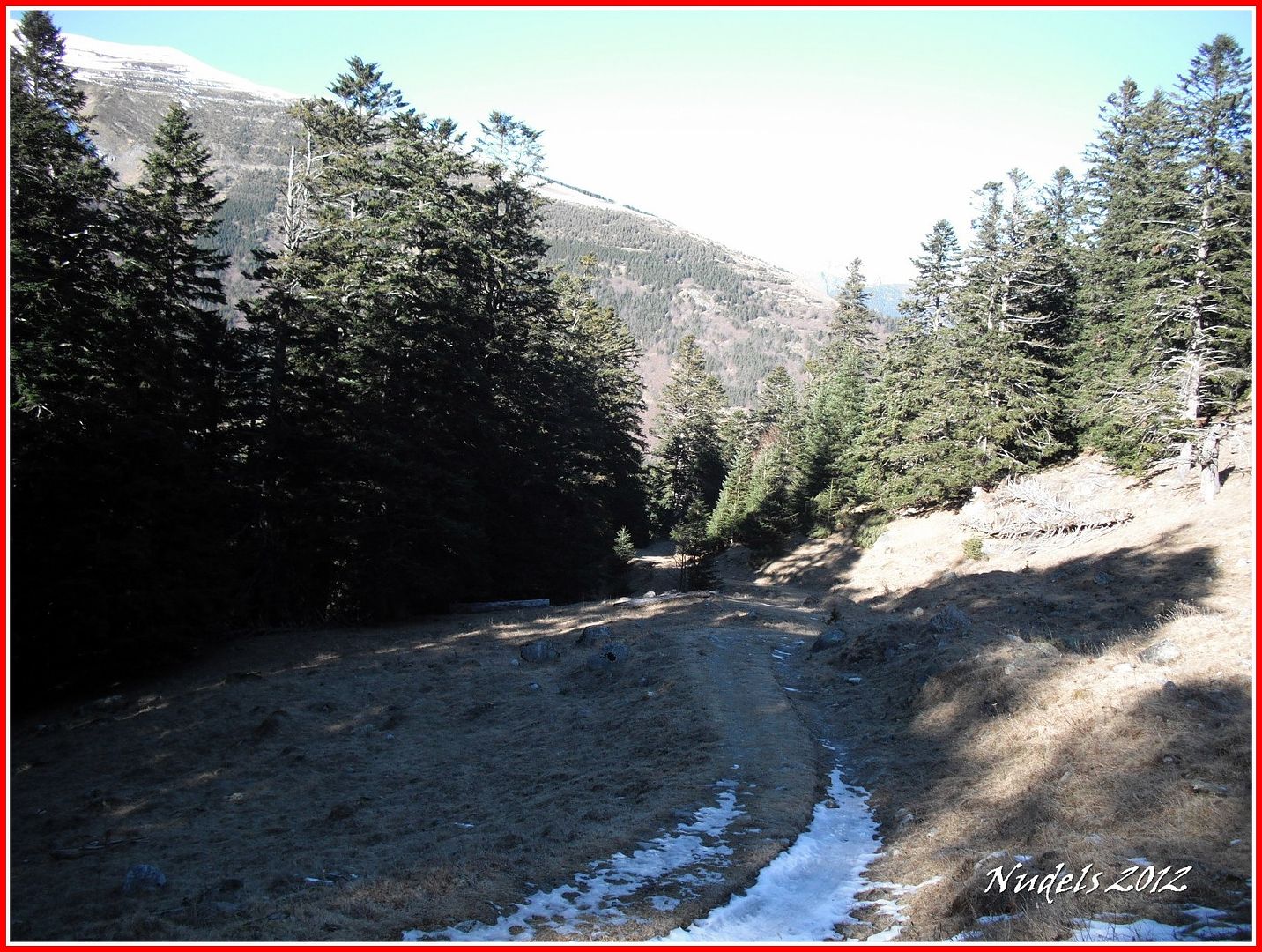
08h27: Siguiendo de frente por la pista forestal tras recorrer 1 kilómetro y pico llegamos a la incineradora y a la carretera N-230 por tanto a la Boca Norte del túnel de Vielha, ese es el trayecto que he recorrido para llegar hasta aquí. Siguiendo la flecha inicio el trayecto para el Puerto de Viella (Pòrt de Vielha).

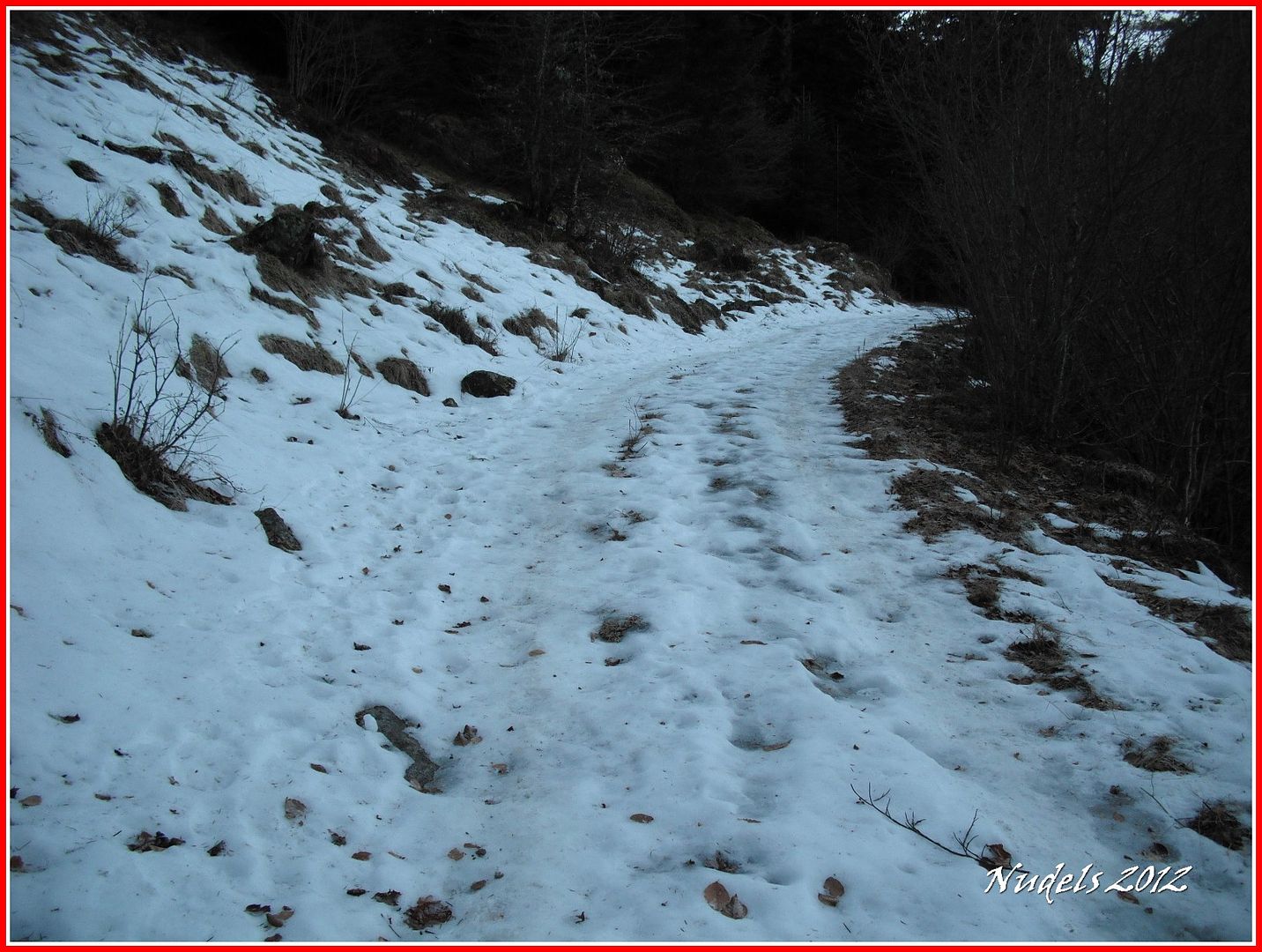
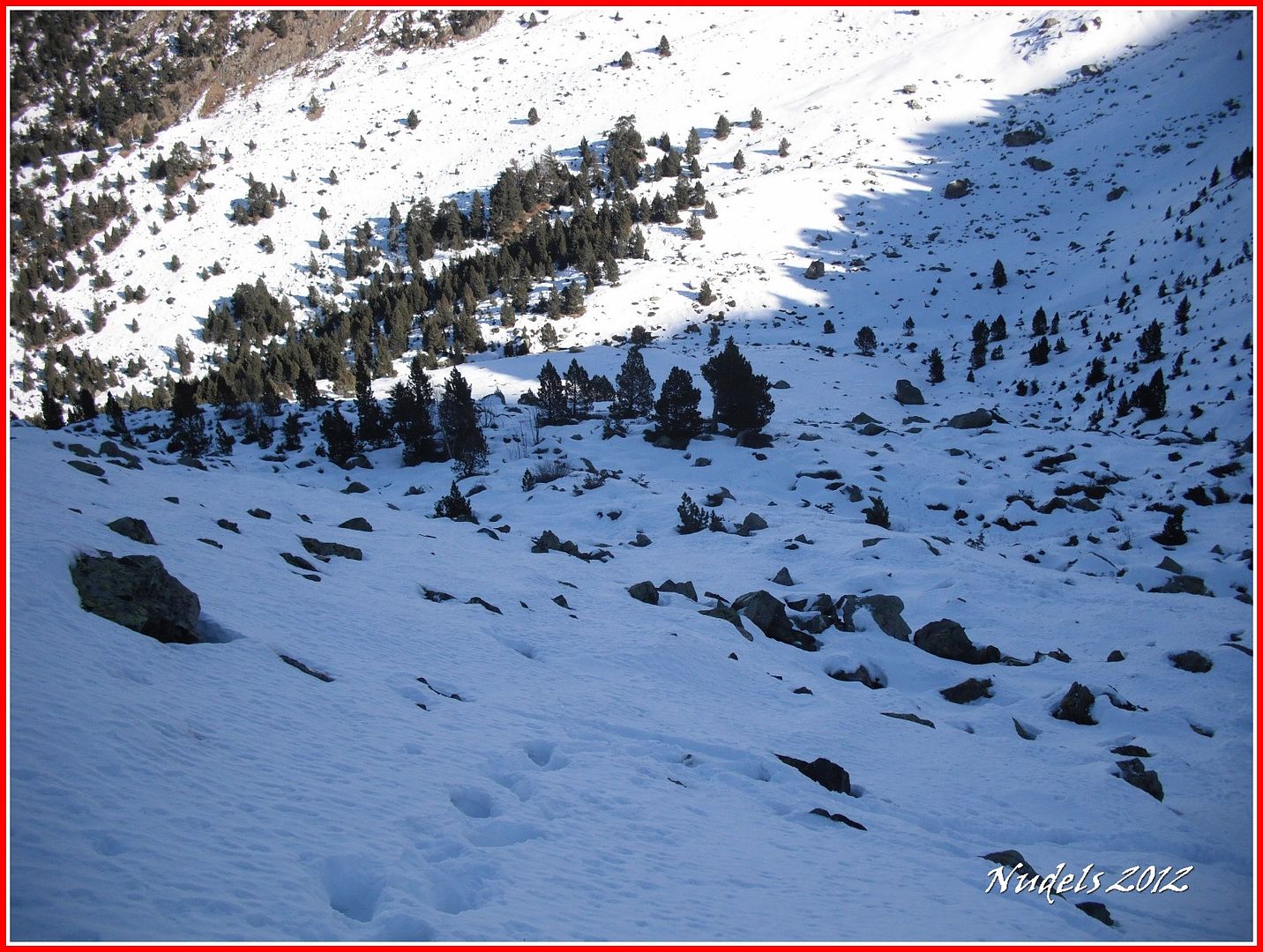
08h41: Durante el porteo por la pista forestal aparecen tramos con hielo y nieve son espacios cortos y donde no se puede aprovechar el uso de "las tablas".
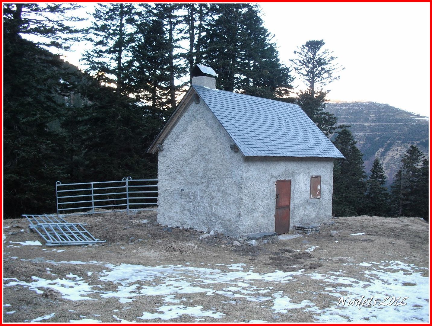
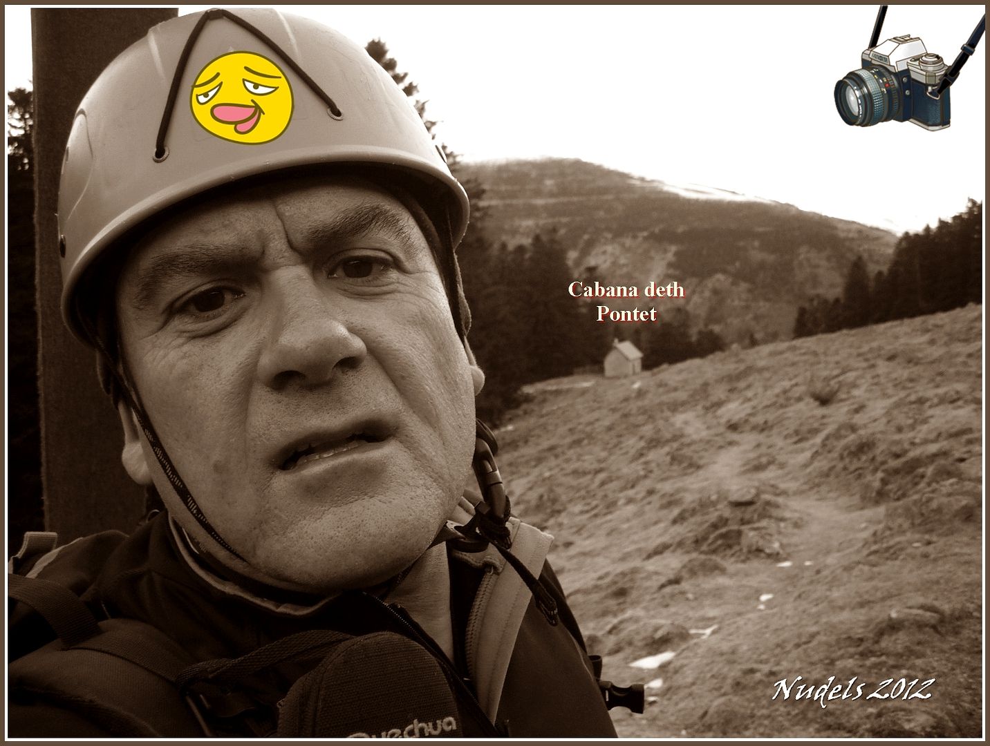
08h48: Supero la Cabana deth Pontet.
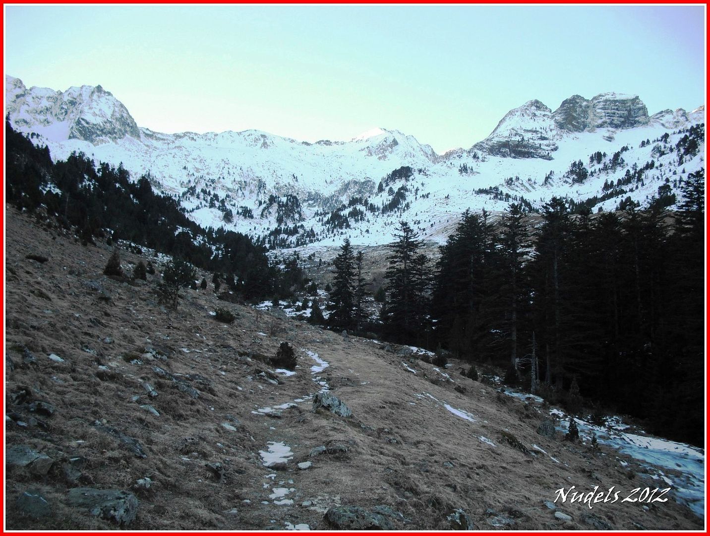
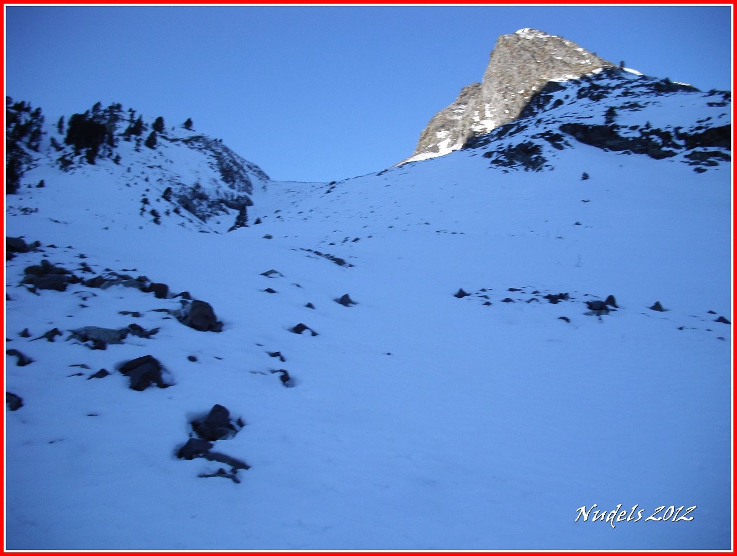
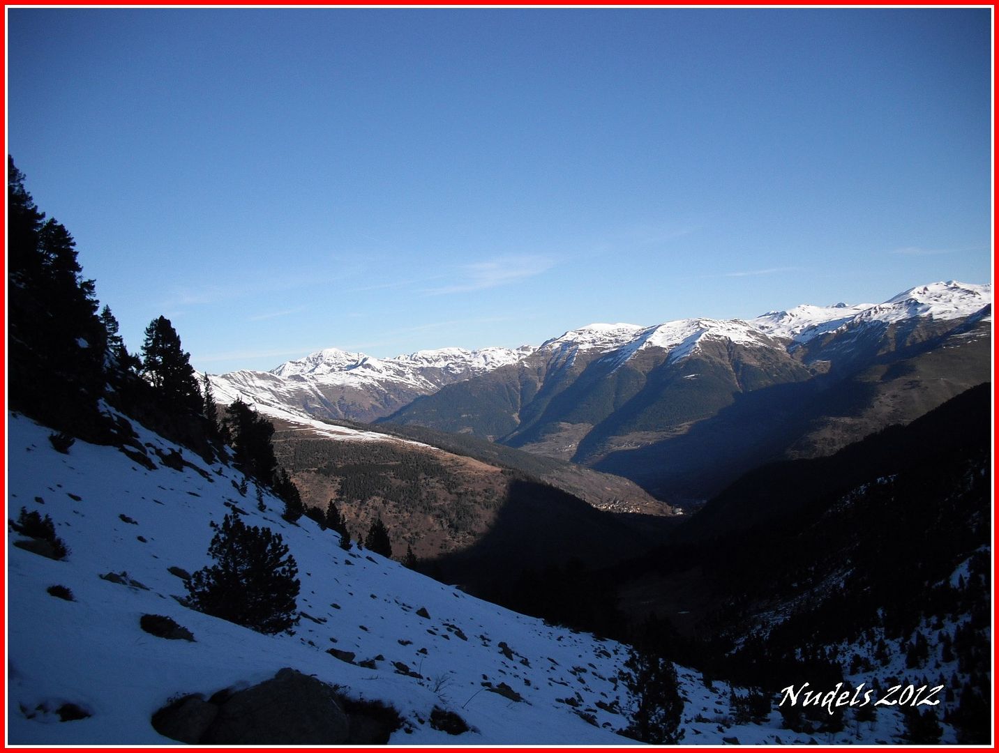
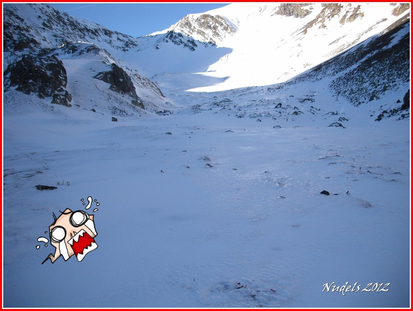
08h51: Y tengo delante un bonito escenario, como presumía la cota de nieve está muy alta.
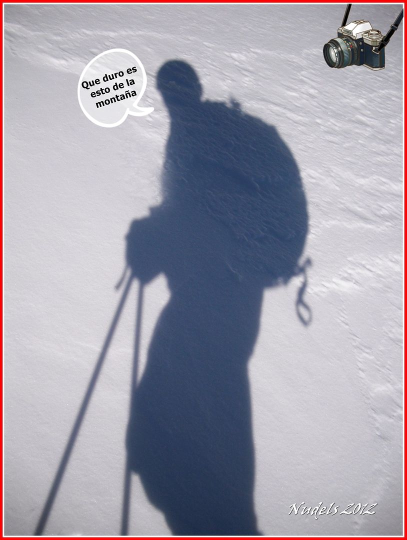
08h51: Autorretrato y una mirada atrás.
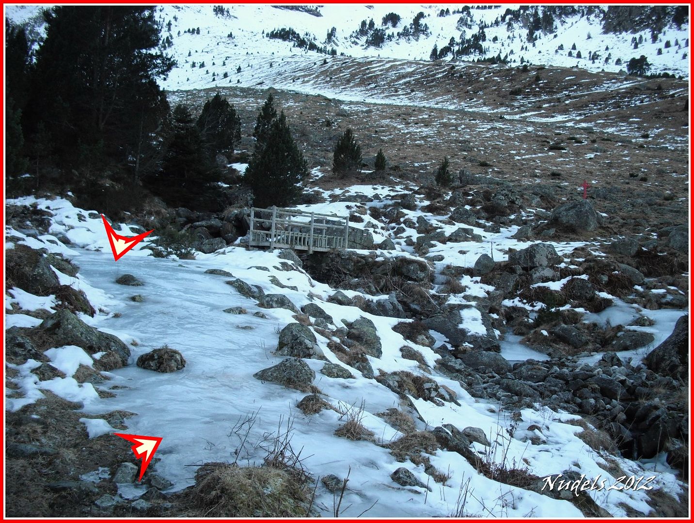
08h52: Nadie lo sabe aún pero superado el primer escollo (en la foto) del hielo pasado el puente tengo un resbalón y me veo de bruces en el suelo, pero lo importante es levantarse y así lo hago para continuar con la batalla.
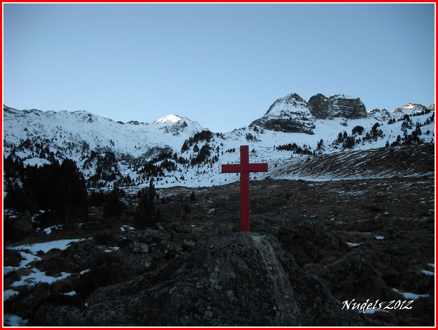
09h01: La cruz que desde hace muchos años identifica inequívocamente el lugar.
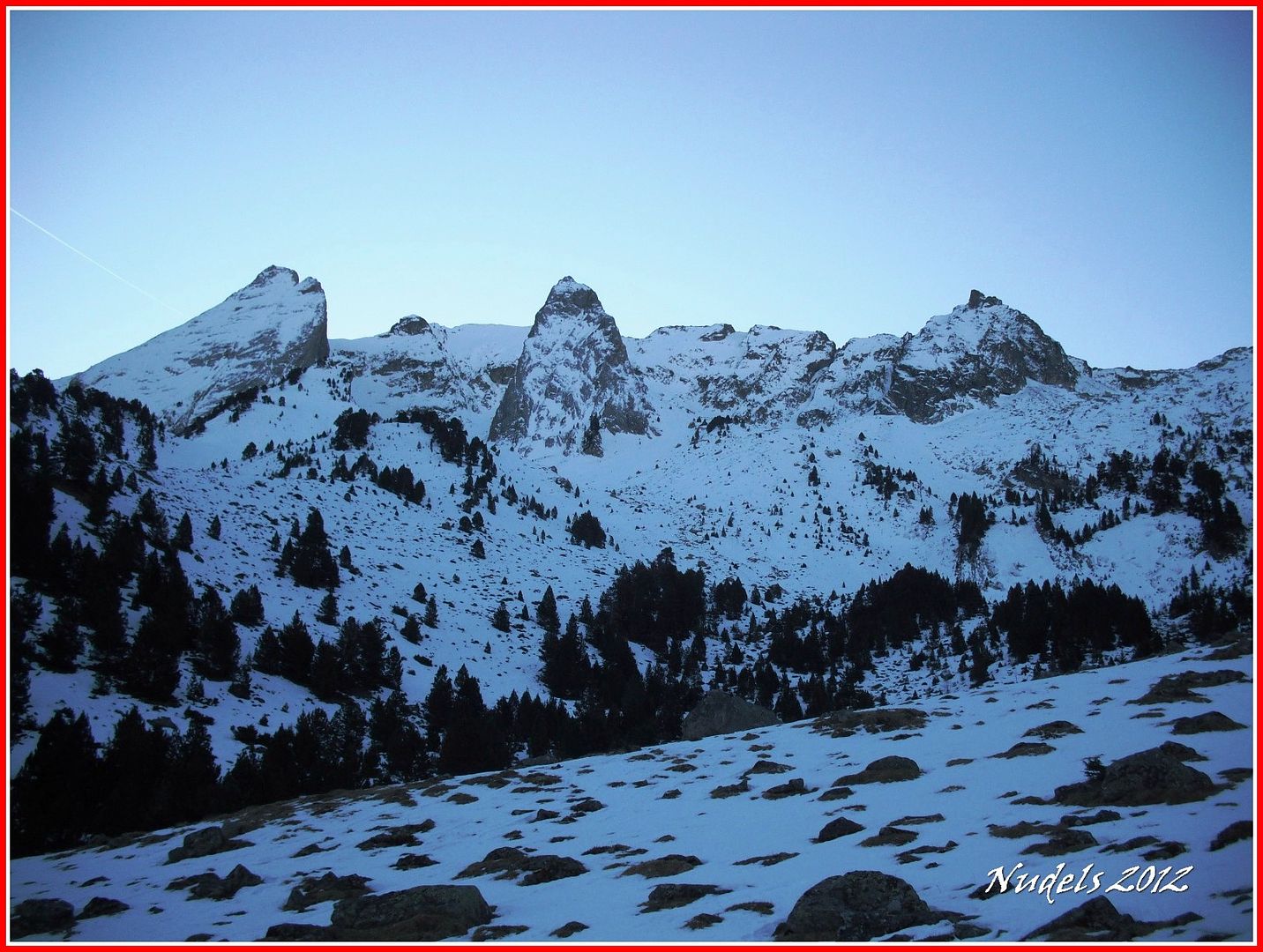
09h16: La Pala de Sarraèra y el Tuc de Hemnes.
09h34: Ya puedo subir con los esquís.
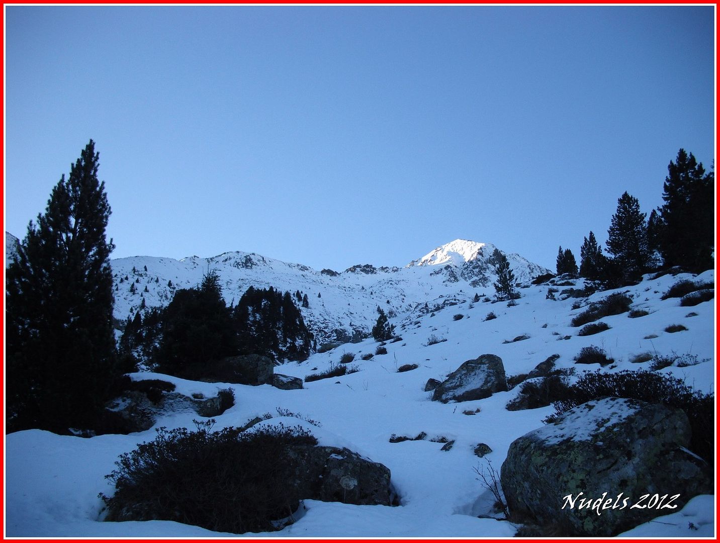
09h34: El paraje creo que ya lo dije antes es espectacular.

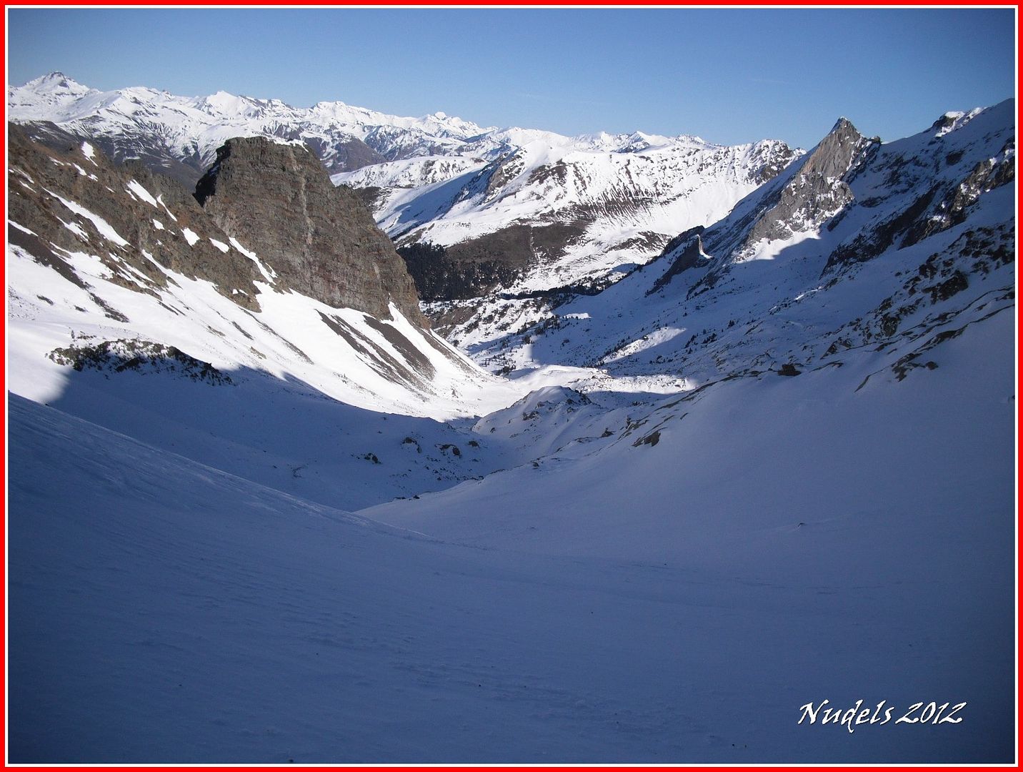
09h51: Ya tengo a la vista la primera pala trabajosa voy siguiendo unas trazas de raquetas y esquís.
09h51: Tomando altura, una mirada atrás.
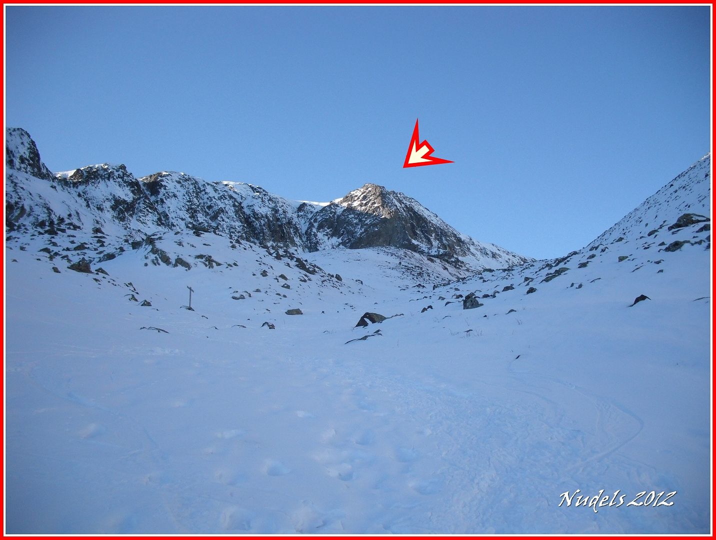
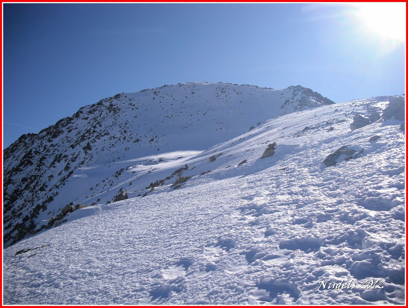
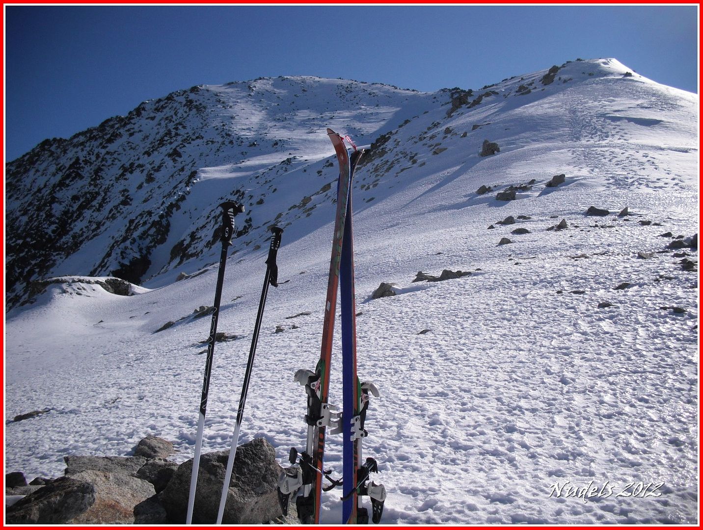
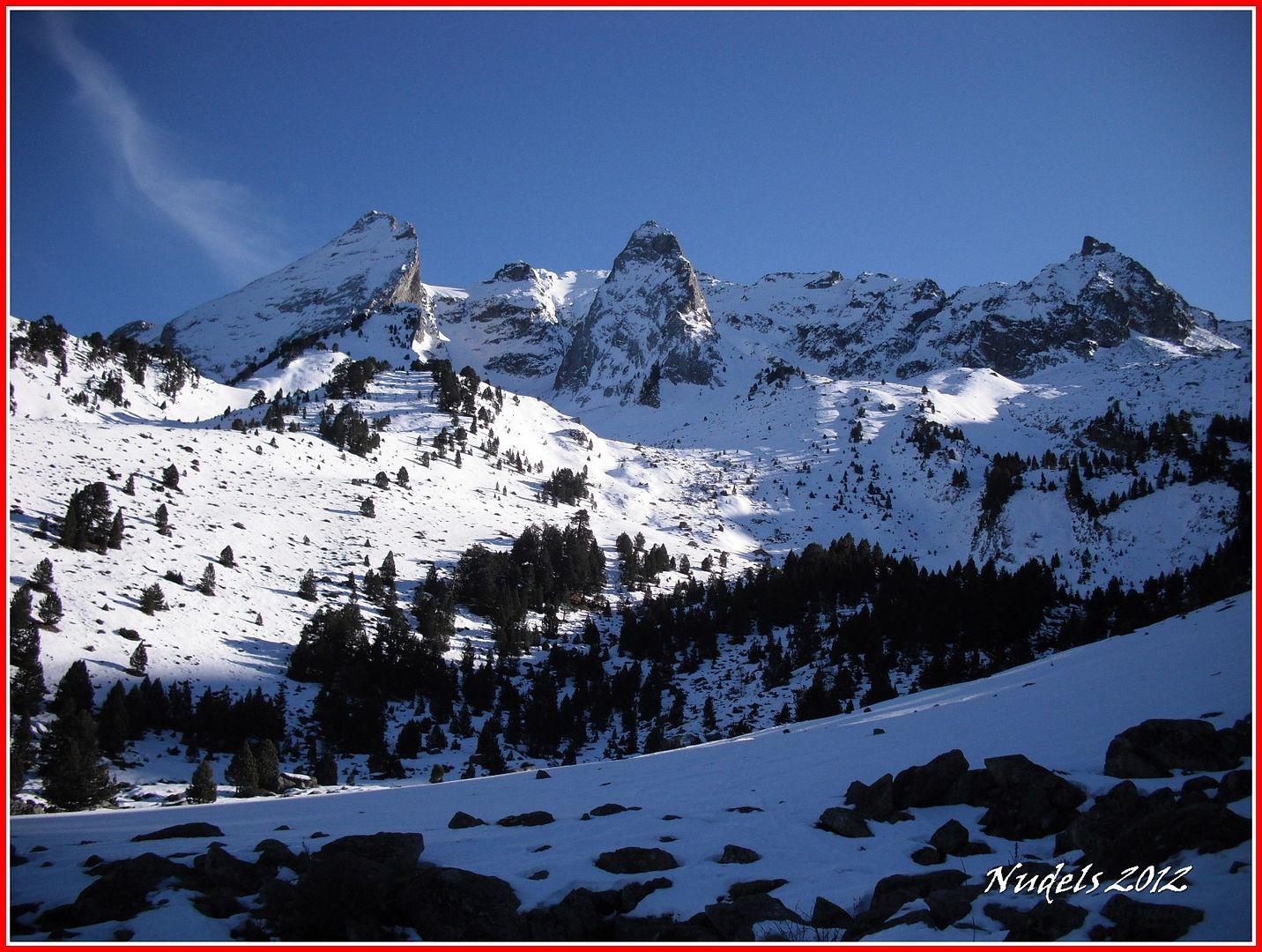
10h09: Superada la pala tengo mi objetivo a la vista, el Tuc deth Pòrt de Vielha.
10h14: Subiré por esa canal, su nombre Canau deth Pòrt de Vielha.
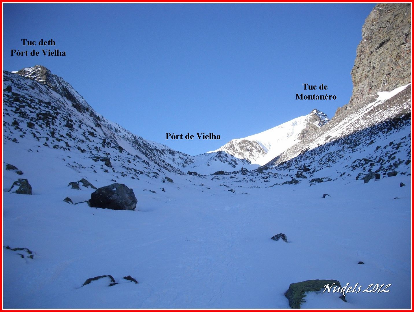
10h14: Pero antes tengo que llegar al Pòrt de Vielha.

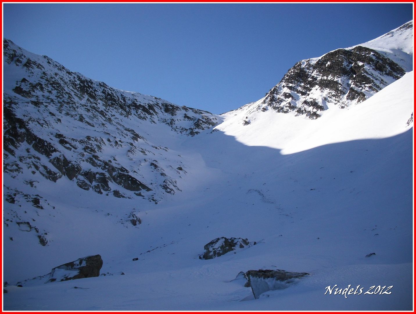
10h22: Pasar por estas placas de hielo me obligan a utilizar las cuchillas.
10h33: Autorretaro.
11h38: Para subir la última pala antes del puerto tengo que utilizar de nuevo los crampones.

11h38: Una mirada atrás.
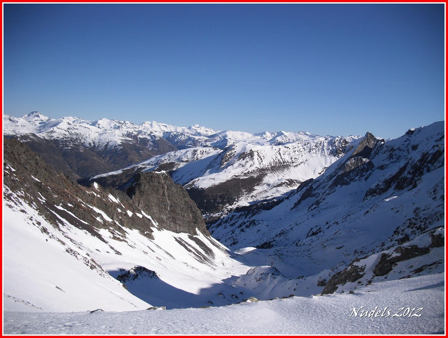
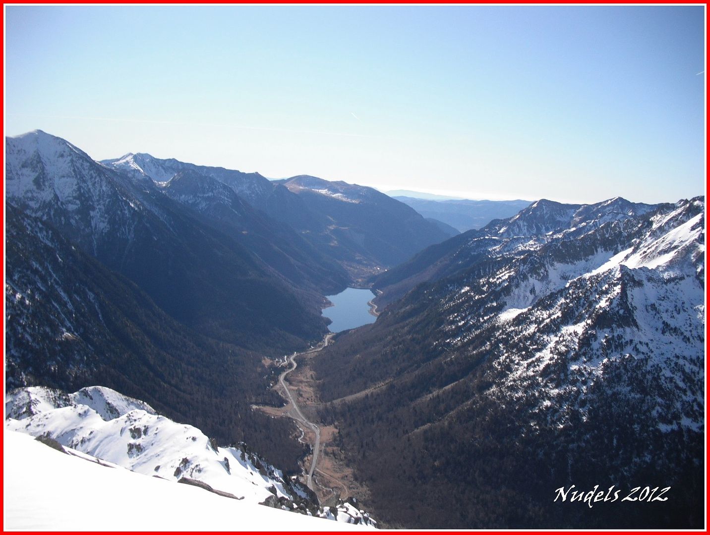
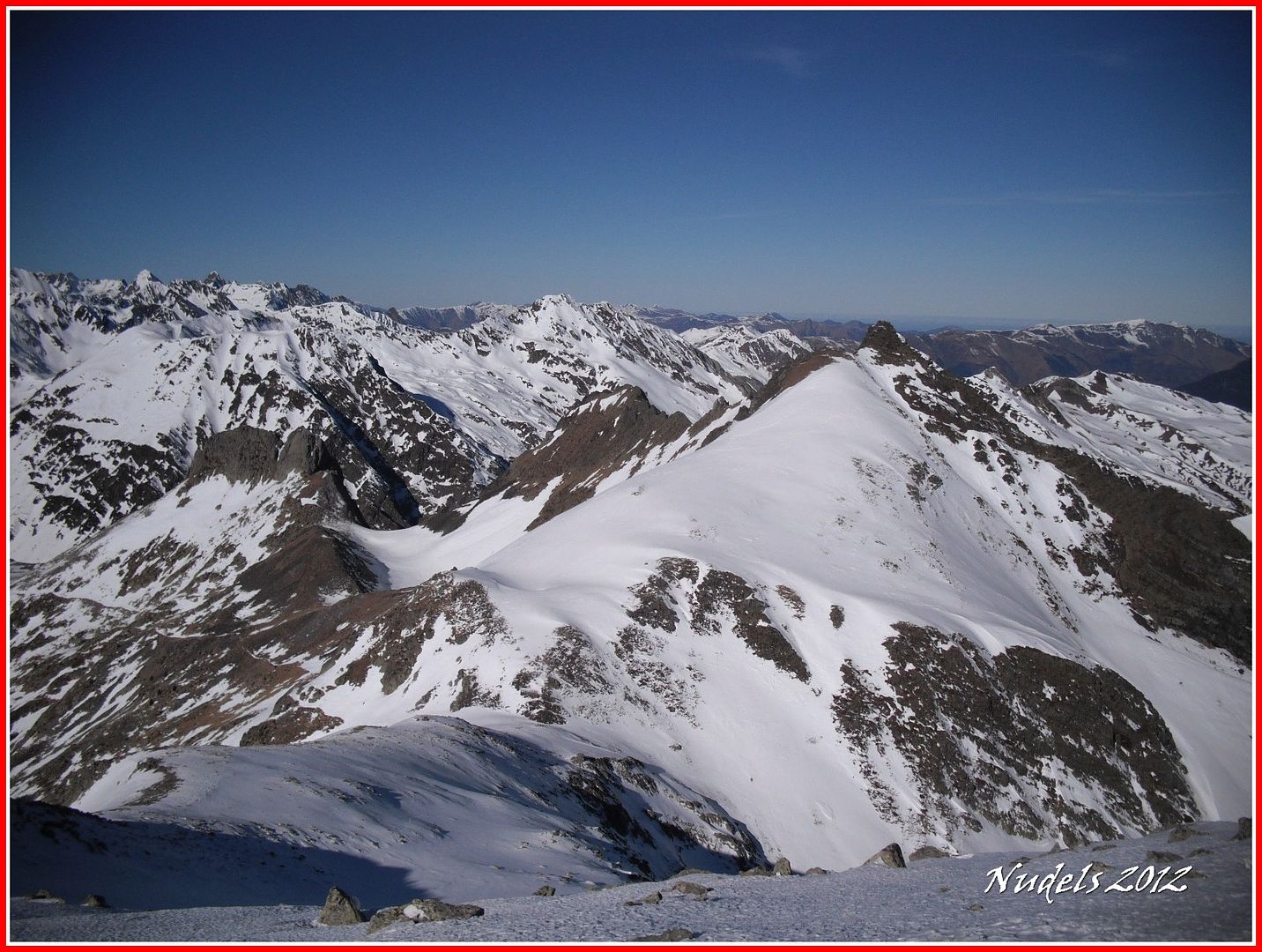
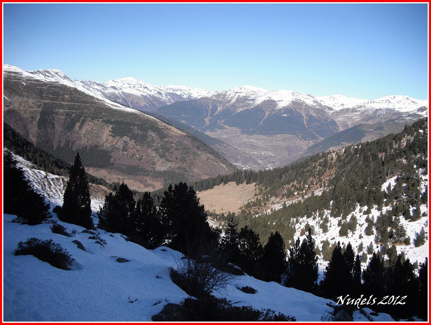
11h39: Llego al puerto (Pòrt de Vielha) y tengo unas vistas magestuosas hacia los picos de Tallada (Feixan) y el Tuc de Molières.
11h39: También hacia las Maladetas.

11h47: Durante toda la subida sopla un fuerte viento que se acentúa en el puerto, ahora tengo que subir hacia el noreste para coronar, dejo los esquís en el puerto porque hay poca nieve para descender esquiando y subirlos me llevaría un esfuerzo suplementario.
12h05: Pero con esquís o sin ellos el esfuerzo merece la pena tengo mi recompensa porque...
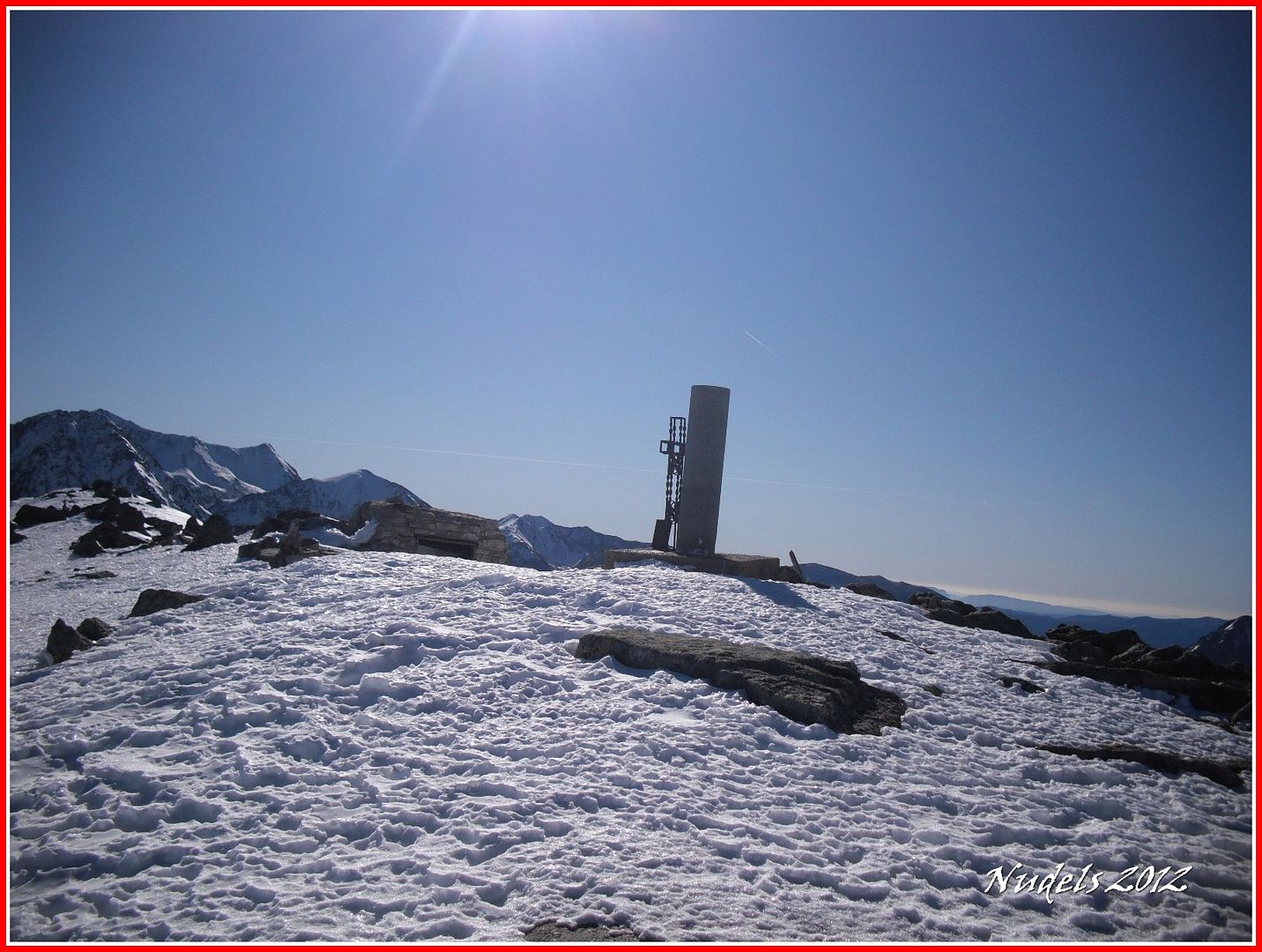
12h06: ...he llegado a la cima...
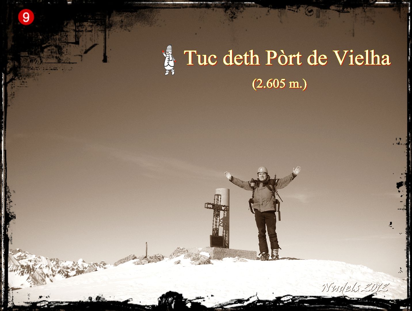
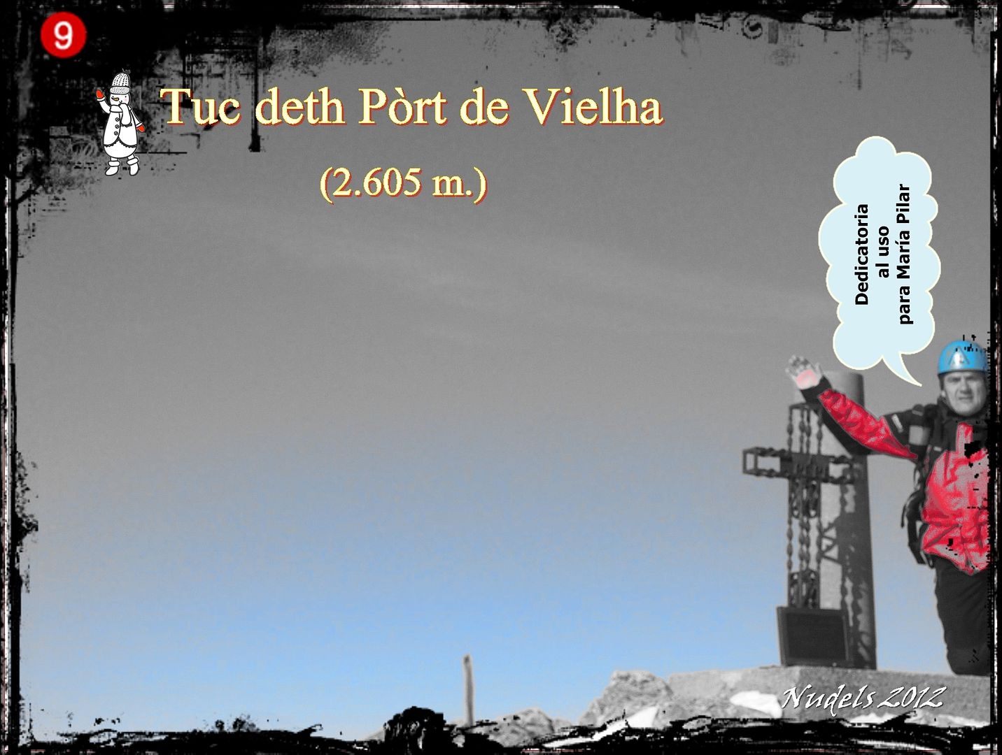
12h15: ...a lo más alto del Tuc deth Pòrt de Vielha (2.605 m.).
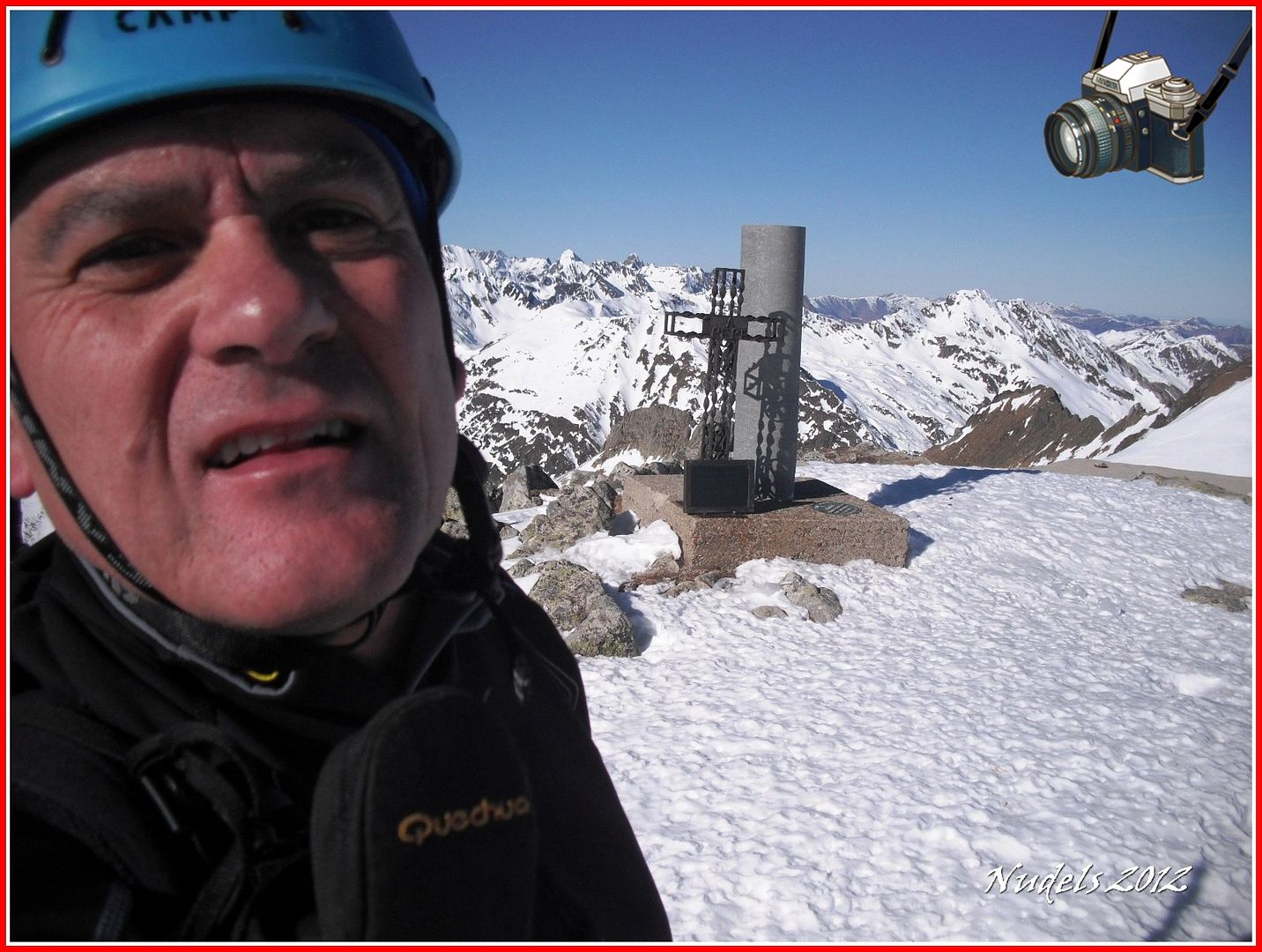
12h15: ...y ahora una dedicatoria al uso.
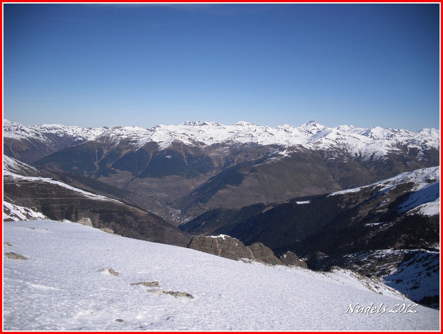
12h06: La Val d'Aran.
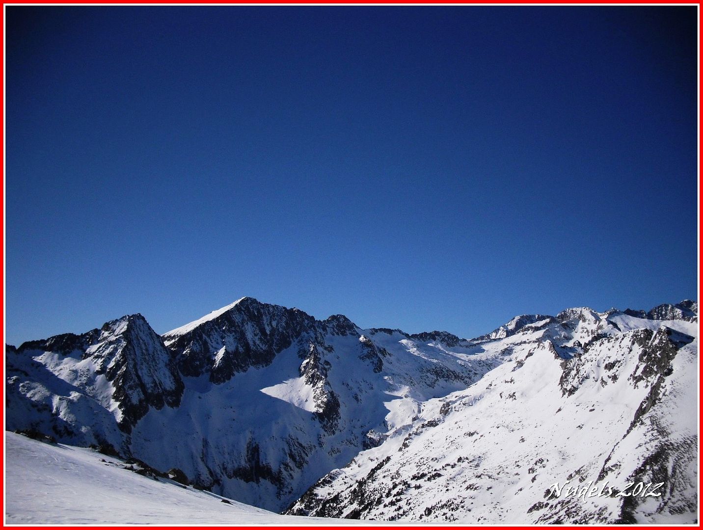
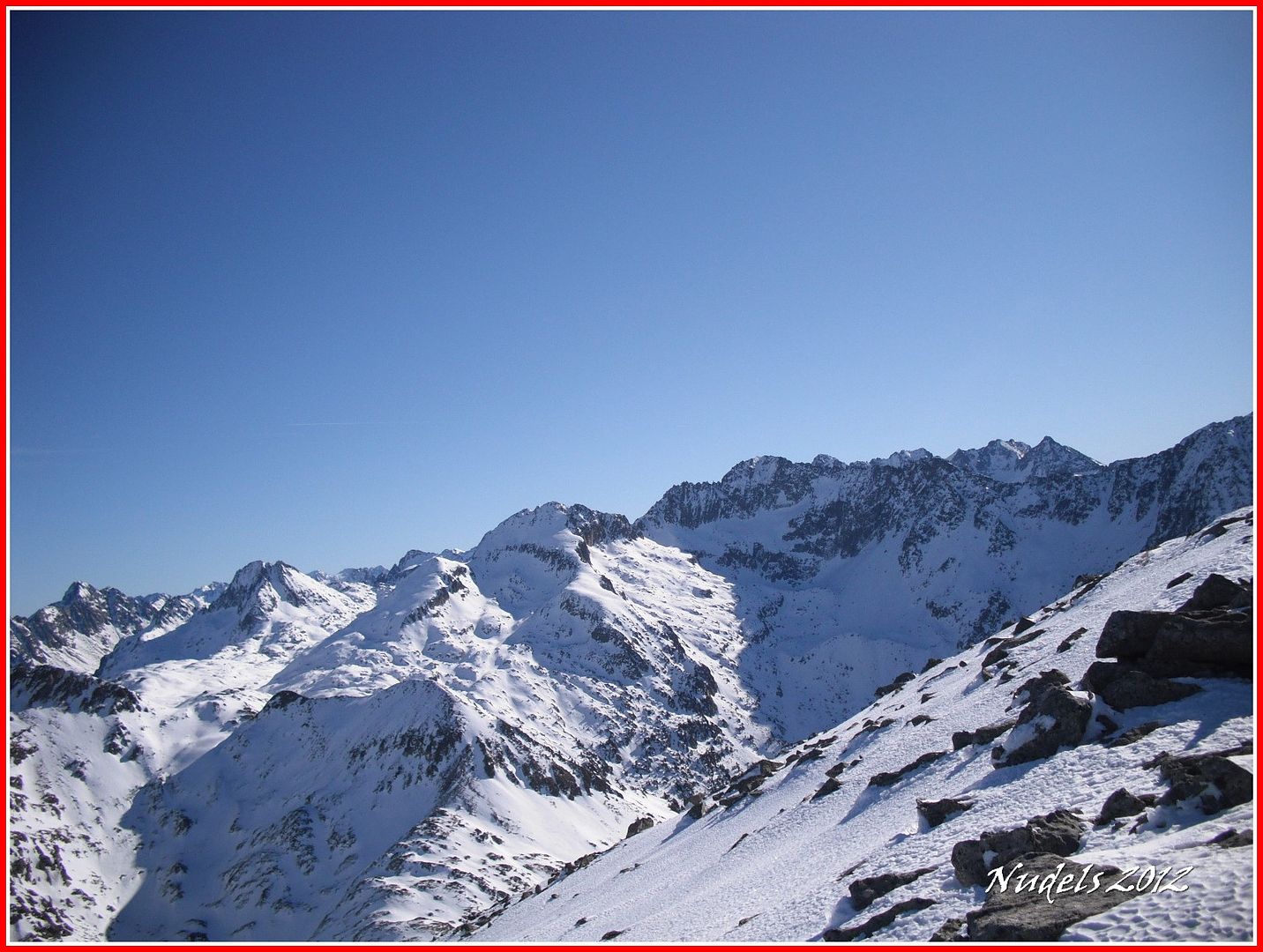
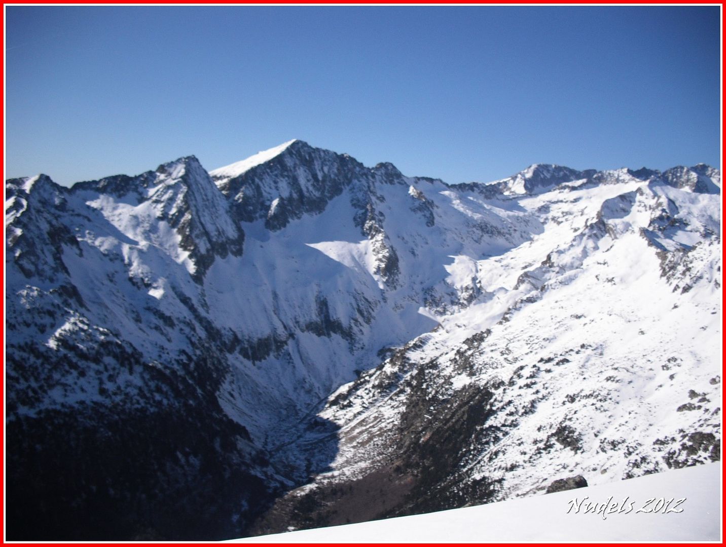
12h07: El Tuc de Tor, el Tuc de Conangles, los Besiberris al fondo...
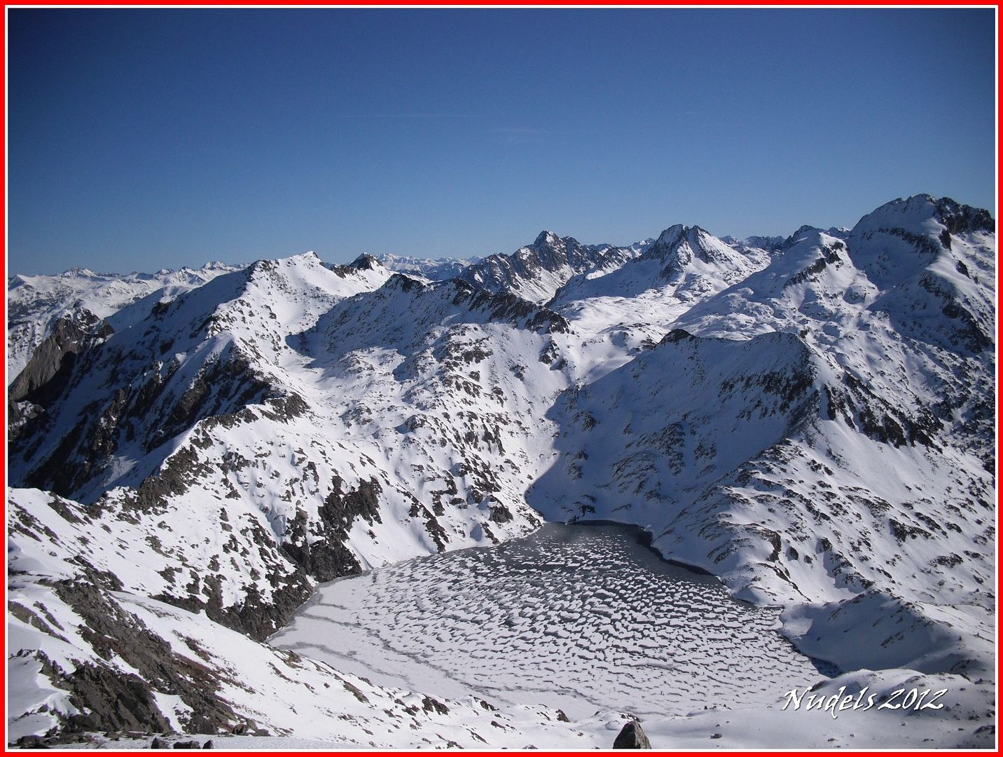
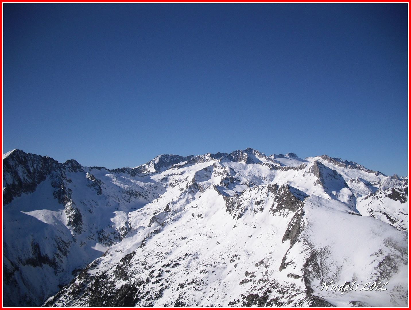
12h09: El Lac Redón, el Tuc de Sarrahèra, al fondo el Montardo, etc.
12h09: El Valle de Barrabés y el Pantá de Baserca.
12h09:
12h19:
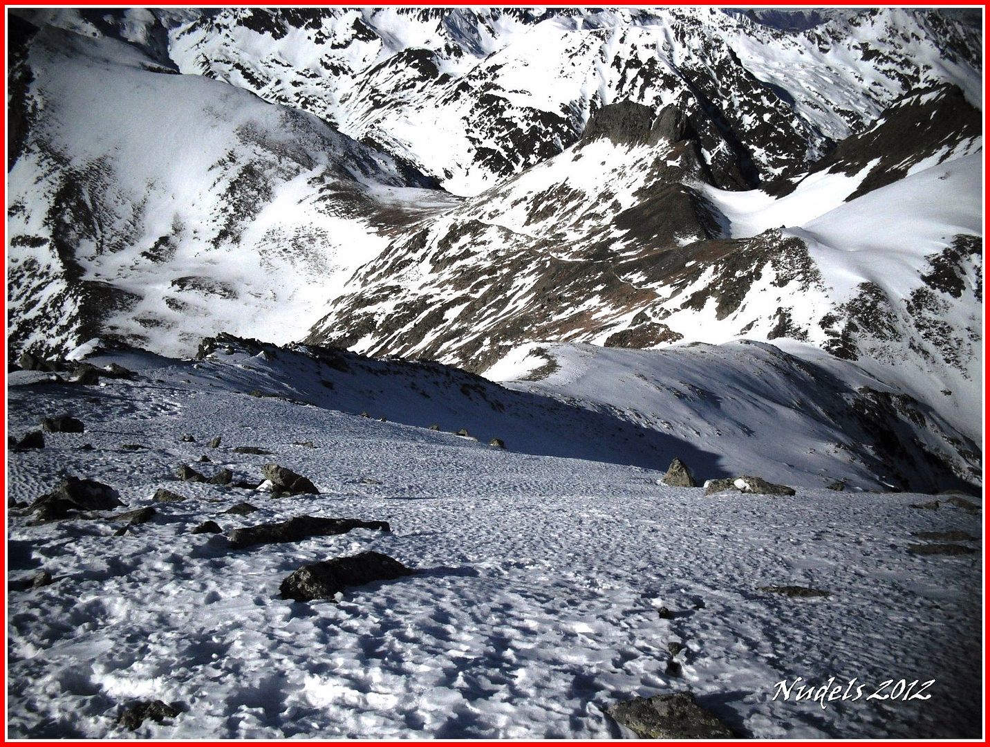
12h23: Recorro la amplia cresta y llego al otro lado, ufff un tropiezo y no paras...
12h23: El viento sopla fuerte y hace frío así que es tiempo de retirada tengo que descender por ahí.
12h41: Ya estoy de nuevo en el puerto.
13h04: La nieve sigue muy dura apenas le ha tocado el sol así que bajaré andando el tramo helado y cuando pueda me calzaré los esquís.
13h04: Una mirada atrás.
14h00: La otra parte de la batalla, el resto del descenso fue complicado esquiarlo así que después de muchos virajes y cuando lo tuve bien claro me quité las tablas y me puse a "portear" eso sí con la cabeza bien alta.
14h11: Será un largo descenso...
14h23:
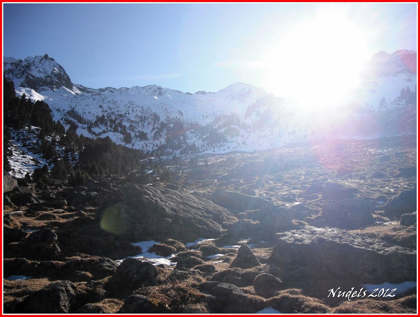
14h36: El itinerario está bien balizado, llego al km.5.

14h36: Hasta la próxima.
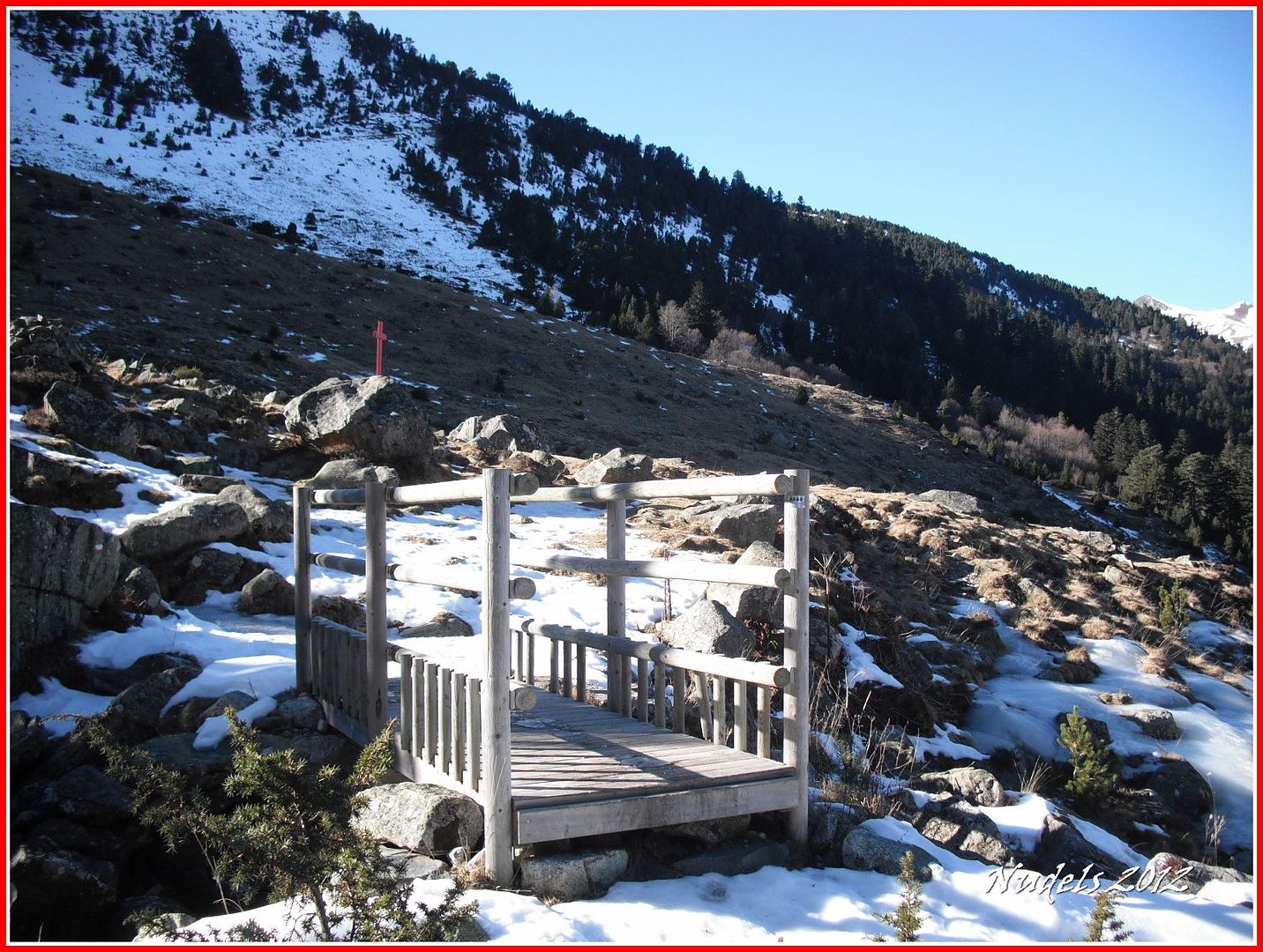
14h36: El puente de madera.
14h47: Superara la Cabana deth Pontèt sigo por la pista forestal.
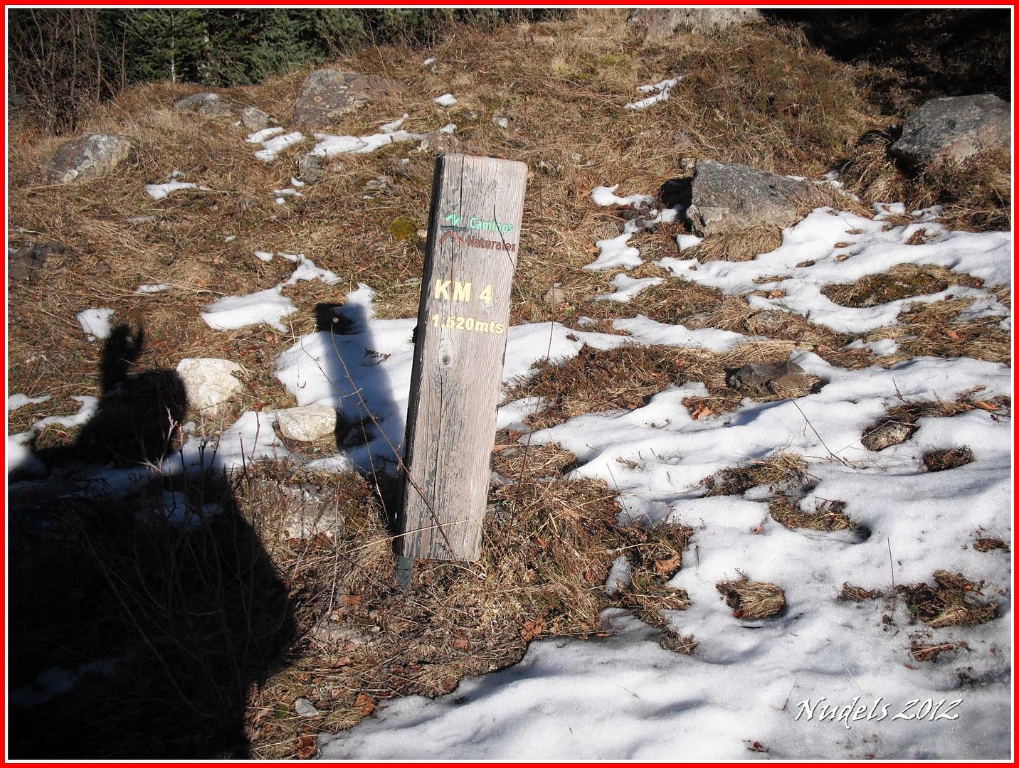
15h00: Llego al km.4.
15h05:

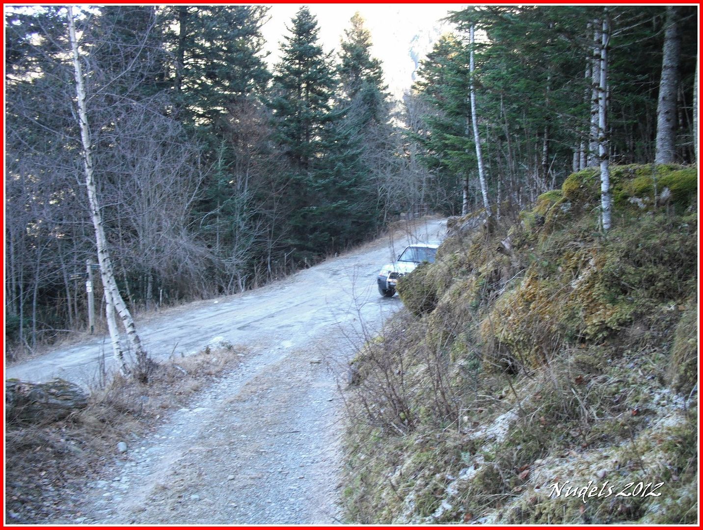
15h06: Ya veo el coche esto se termina.
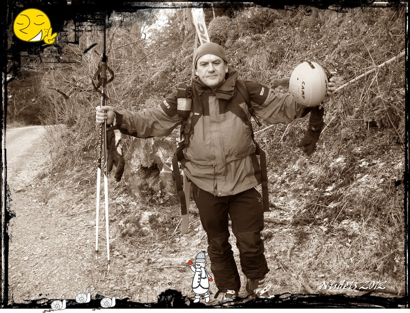
15h09: Es hora de quitarse el maquillaje, se acabó la lucha, la batalla ha terminado no hubo vencedores ni vencidos por el contrario ha sido una bonita jornada montañera.
15h07: Datos sin depurar del GPS.
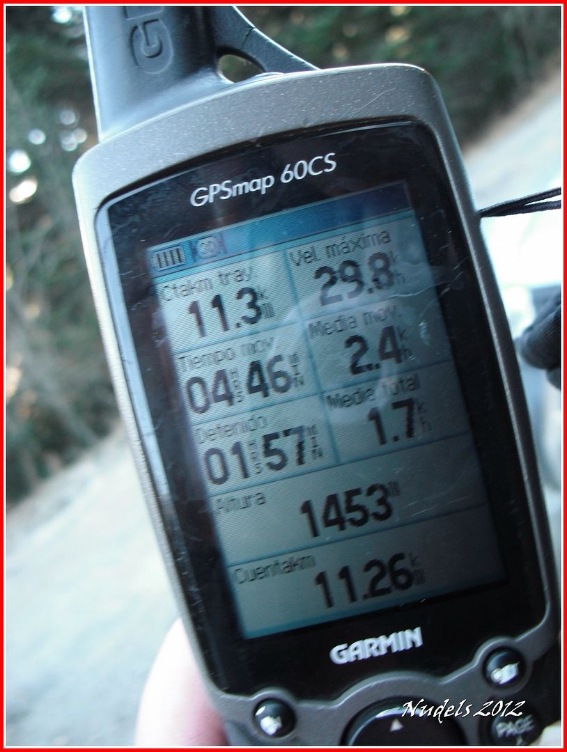
15h07: Datos sin depurar del GPS.