PRÓLOGO : El Tuc de Pujastó está marcado como vértice geodésico (Estiuèra) ESTINUERA - 14857- HMTN:148Lon/Lat-ED500.6620110642.79929622X/Y UTM-31308802.364741263.65 Alt2016.40 y me parece que forma parte de la triología Tuc de Montlude y Tuc dera Entecada así pues se trata de un vértice de tercer orden tiene lados de 5 a 10 kilómetros formando triángulo las las montañas señaladas. Esta será la cuarta vez que suba al Pujastó y es que tiene un encanto especial se encuentra en pleno cordal fronterizo, en el paraiso de la mugas, y con esa motivación extra me decido a subir a eso del mediodia el segundo día del año 2011 inagurando así la nueva temporada.
SITUACIÓN :
Cordal fronterizo cerca del Portilòn de Bossost -Val d'Aran-
OBSERVACIONES Y CURIOSIDADES : Es conveniente llevar agua desde la salida.
Telefonía móvil: Tramos con escasa cobertura Movistar.
Fotografía: Instantáneas capturadas con una cámara digital Fujilm 100.
DESCRIPCIÓN CRONOLÓGICA :
Mientras relleno los campos que faltan, también en texto de algunas fotografías, publico la actividad porque el año lo he comenzado perezoso, perezoso...
DATOS TÉCNICOS: REFERENCIA: Mapa excursionista Alpina Val d’Aran Escala 1:25.000.
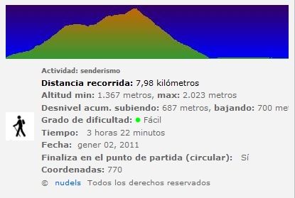
Actividad: Senderismo cerca de Bossòst, Cataluña (España)
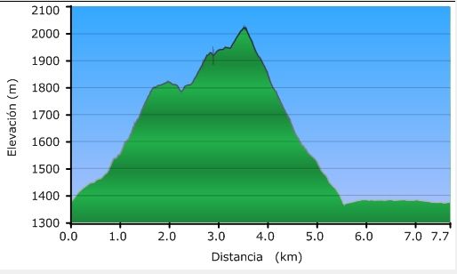
Distancia recorrida: 7,98 kilómetros.
Altitud min: 1.367 metros, max: 2.023 metros
Desnivel acum. subiendo: 687 metros, bajando: 700 metros
Grado de dificultad: Fácil
Tiempo: 3 horas 22 minutos
Fecha: 2 de enero de 2010
Finaliza en el punto de partida (circular): Sí
El track
© nudels Tots els drets reservats
11h25: Subiendo al Portilhon (Portillón) de Bossòst por la carretera N-141.
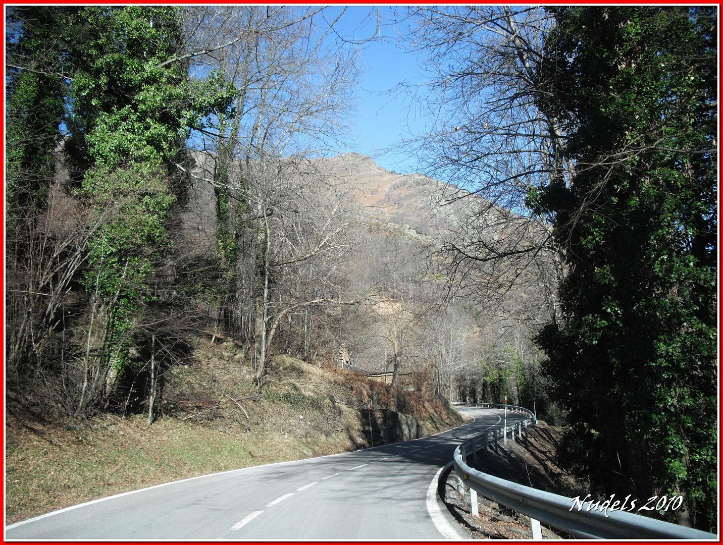
11h34: Llegando al Portilhòn y antes de entrar en Francia tomo el desvío hacia la pista de Saubaga.
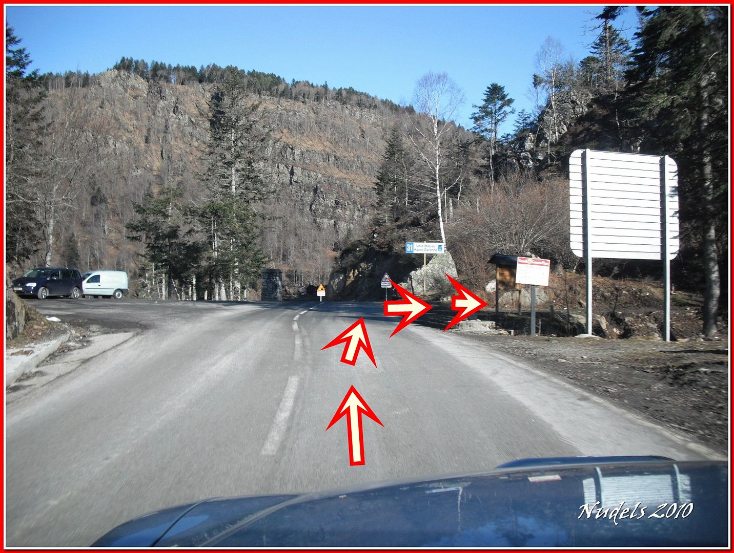
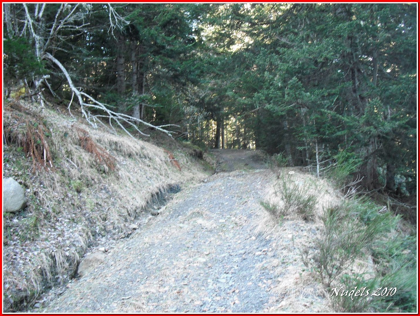
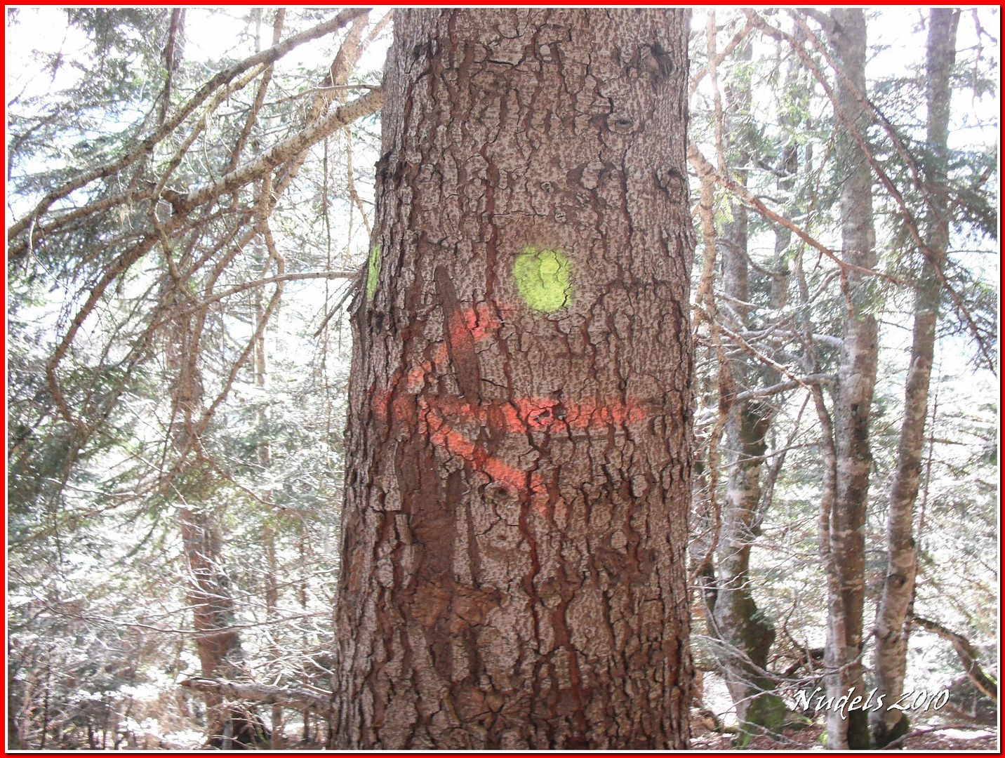
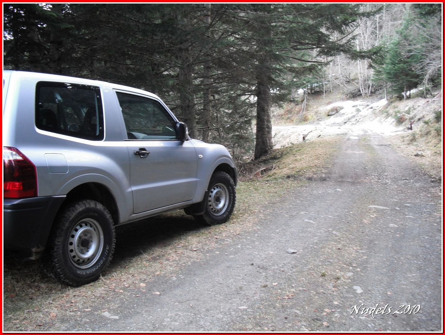
11h52: Y tras dos kilómetros de pista forestal estacione el vehículo y tomo este empinado sendero.
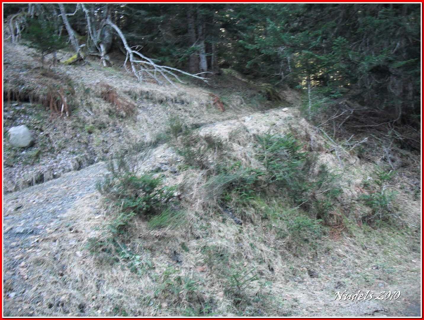
11h52: Me sirve para calentar las piernas.
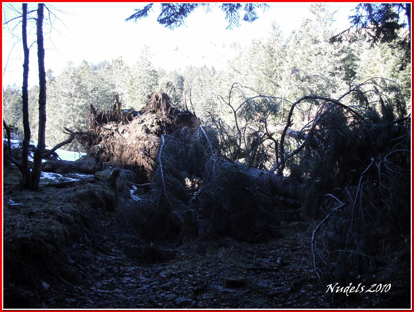
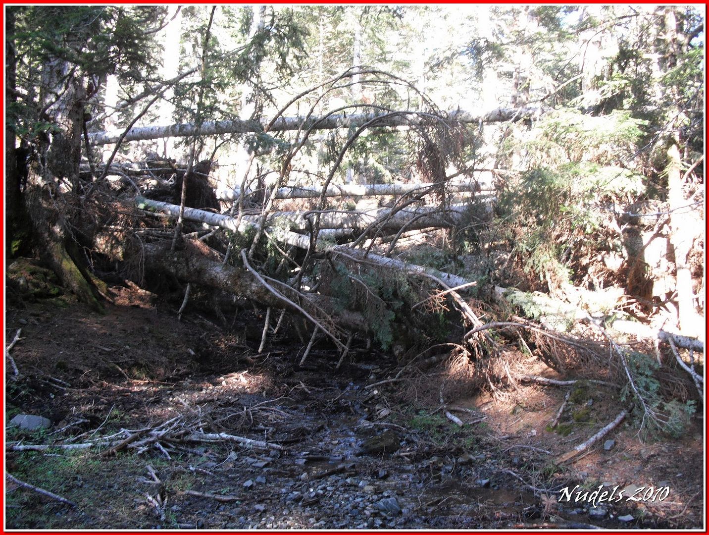
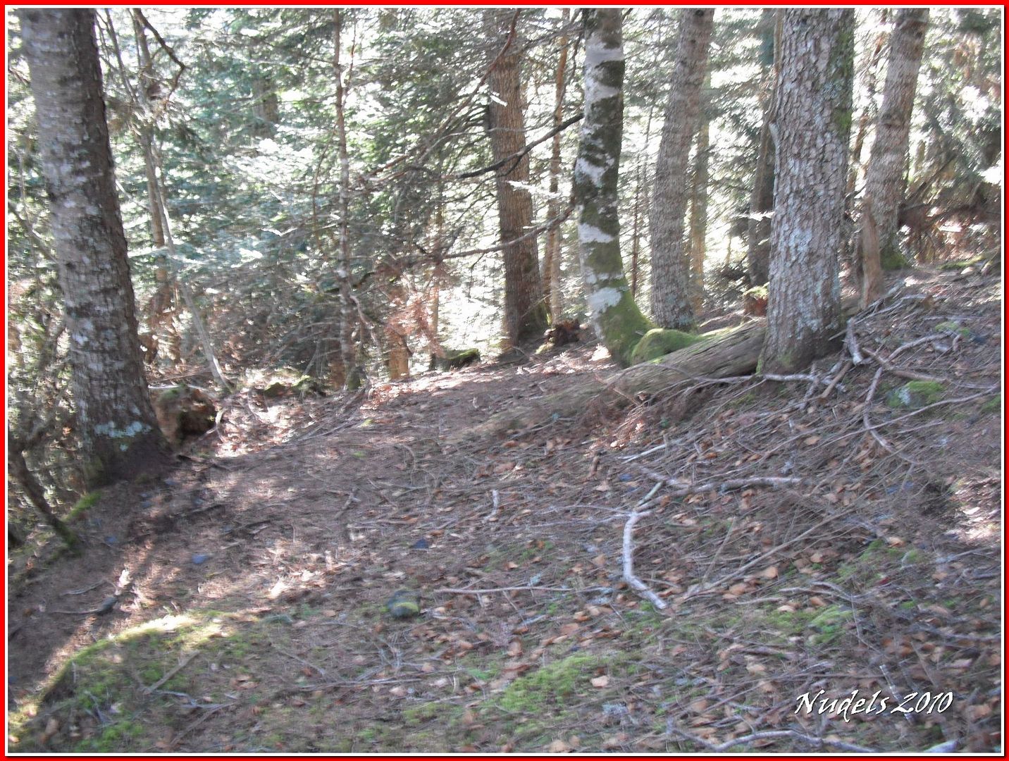
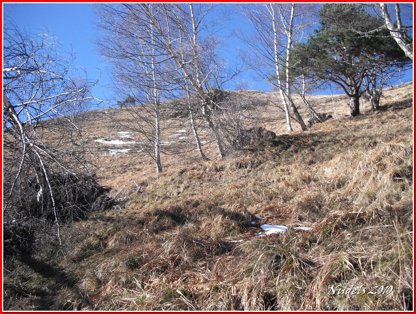
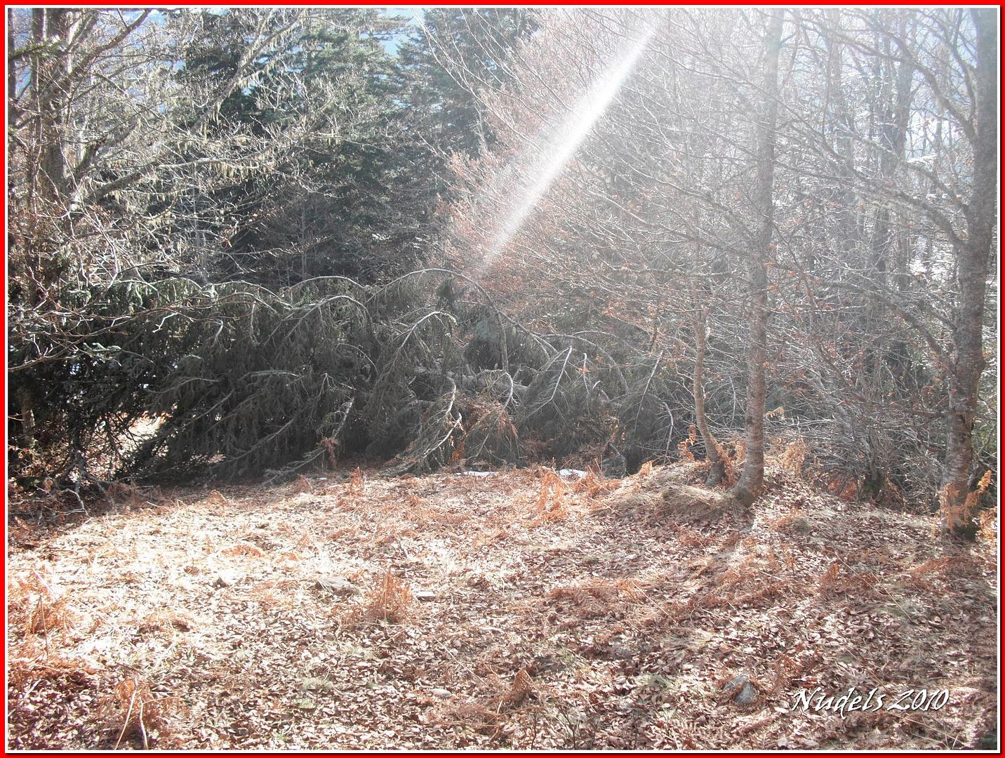
11h58: Tengo que apartarme del sendero porque los hay árboles caidos en mitat del camino.
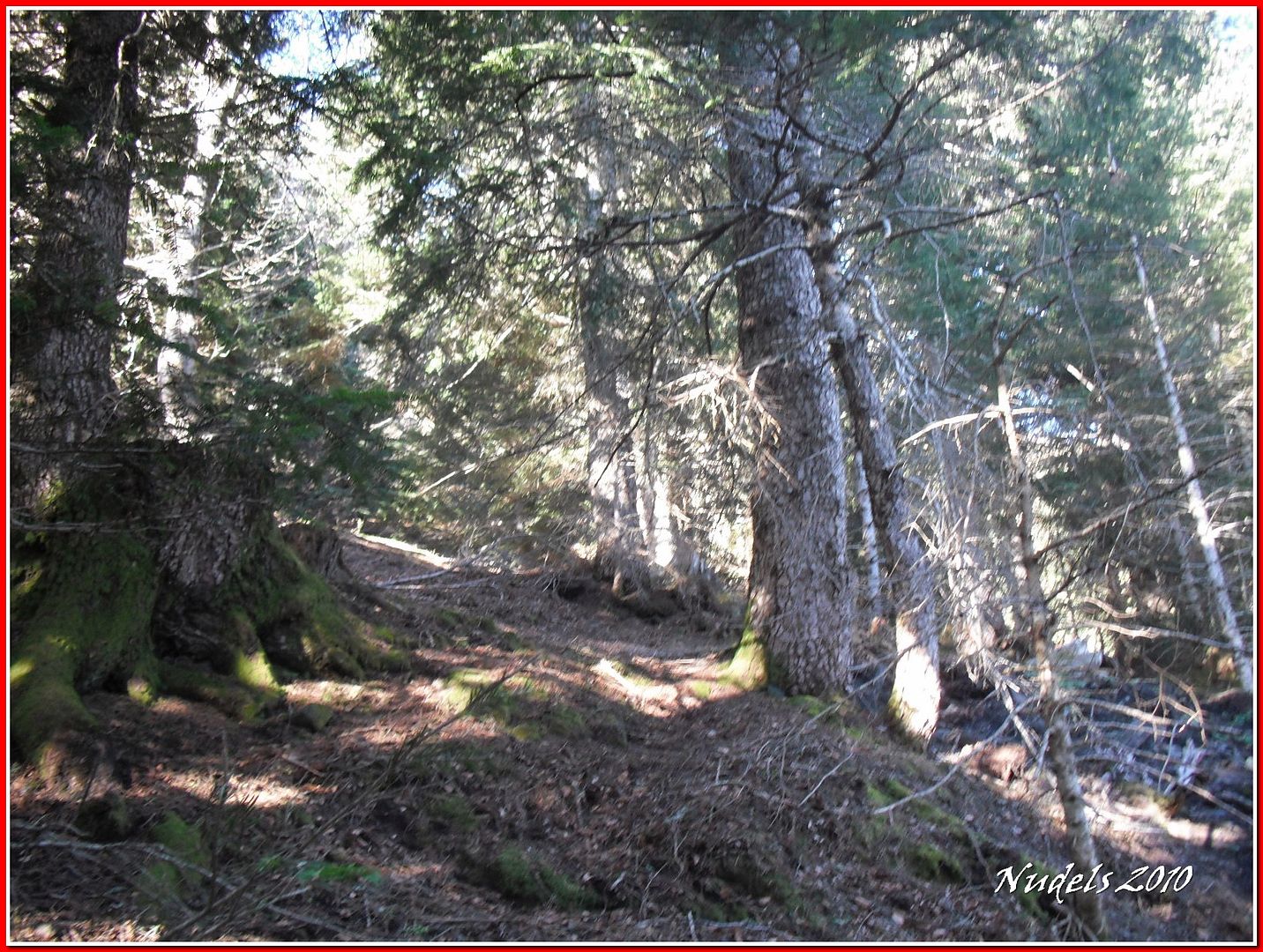
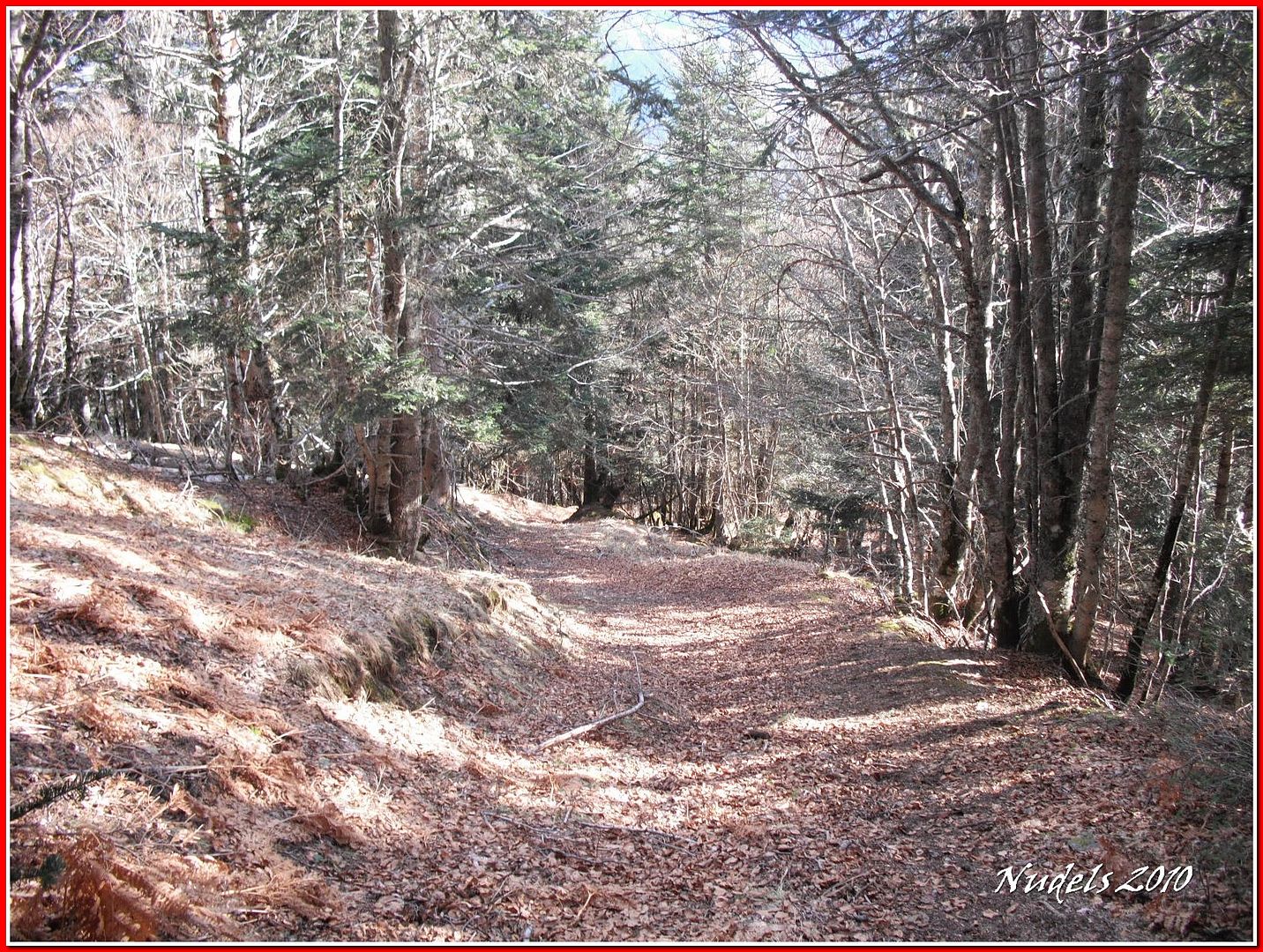
11h59: Me introduzco en este bonito bosque.
12h01: De nuevo árbones en el camino.
12h11: Ahora esto pica para arriba.
12h11:
12h12:
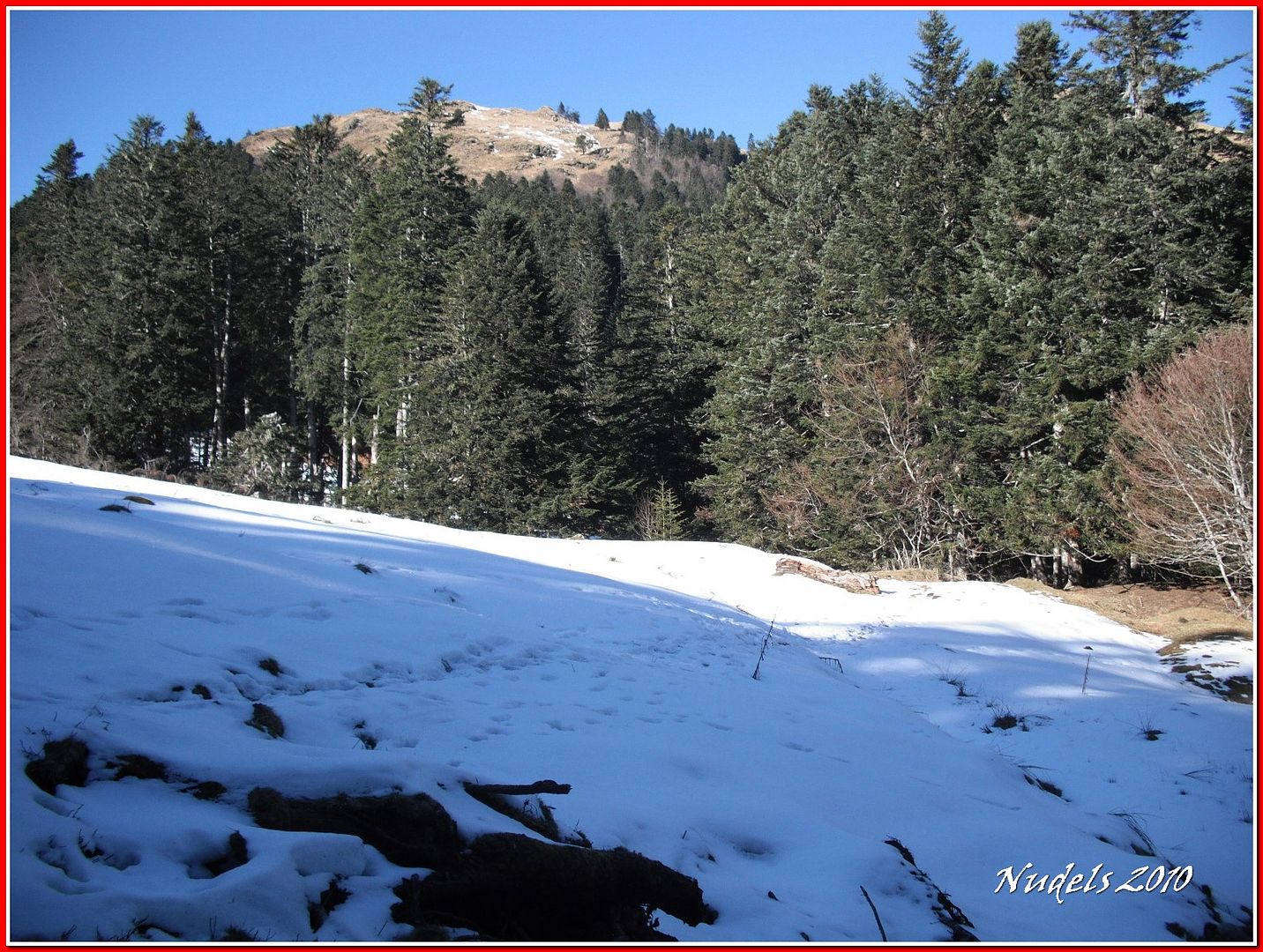
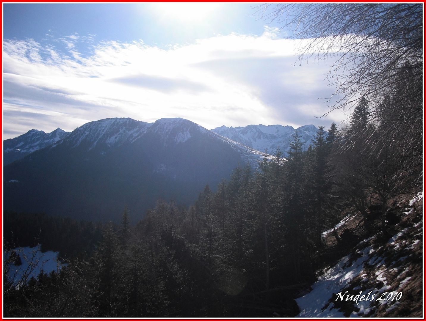
12h23: Consigo salir del bosque.
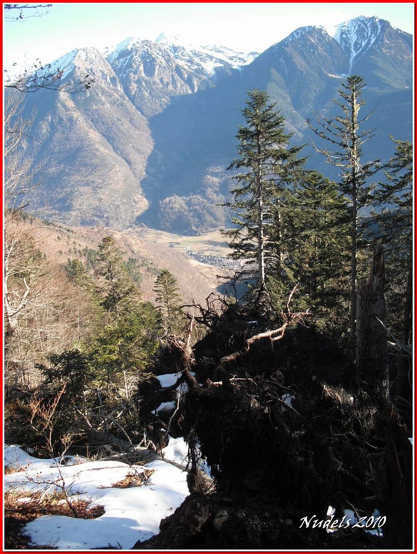
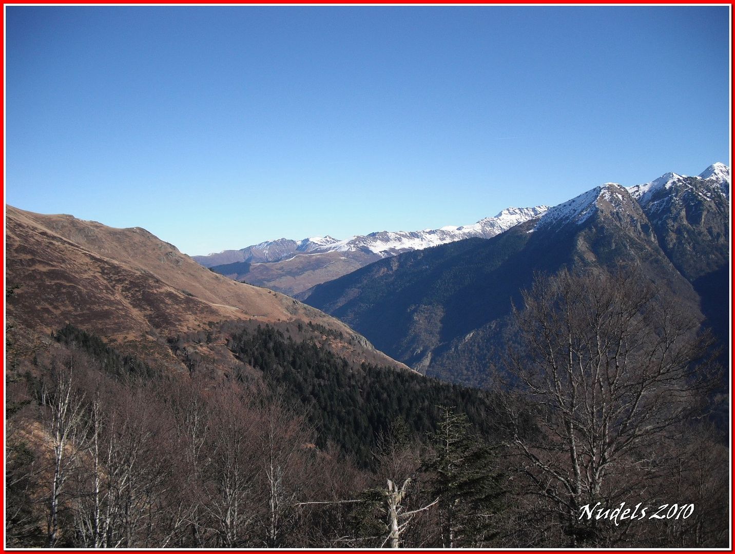
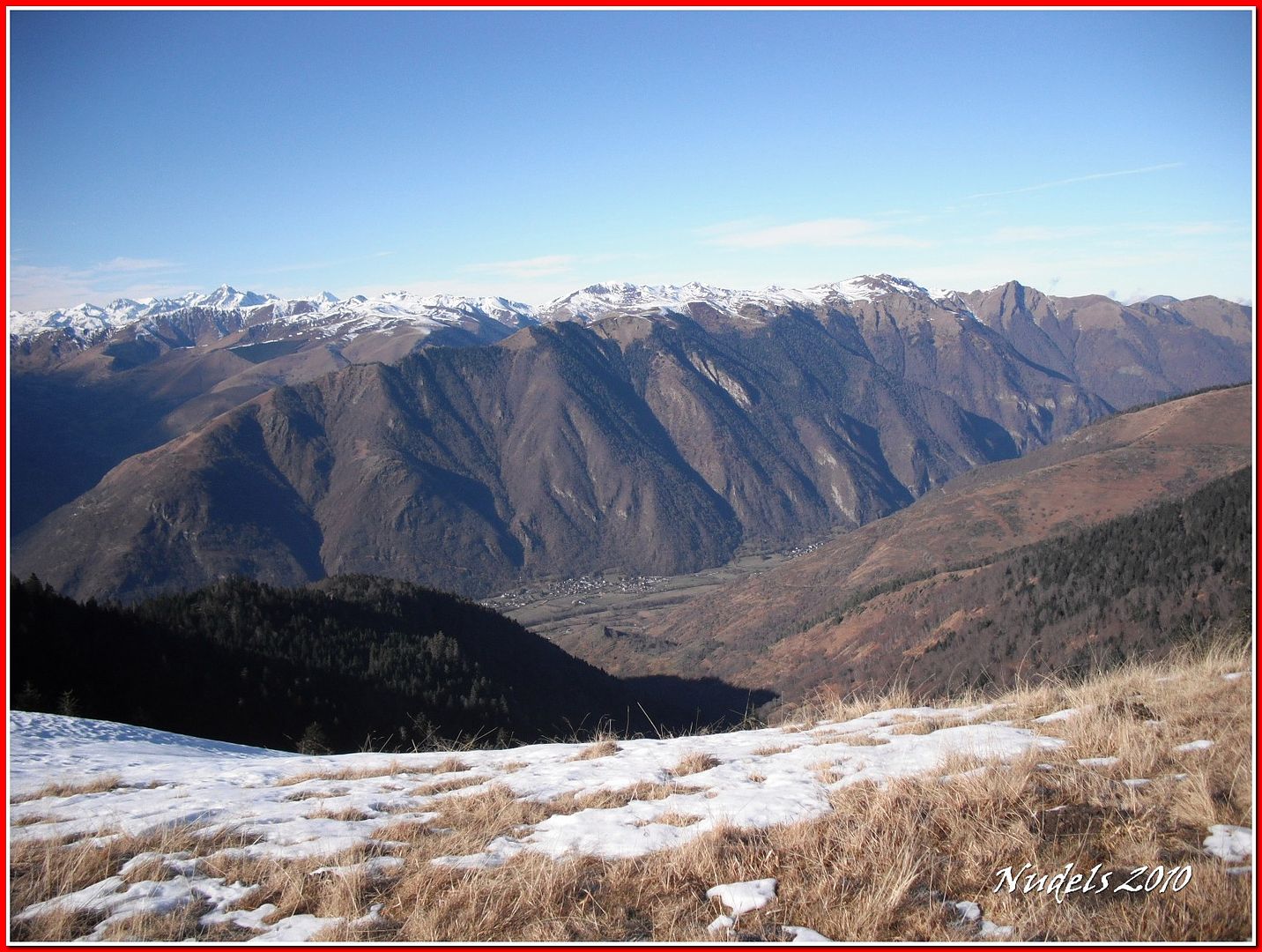
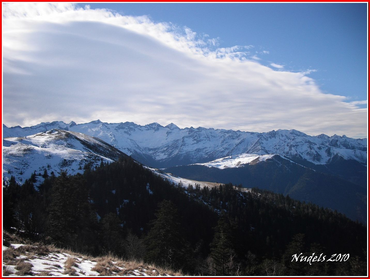
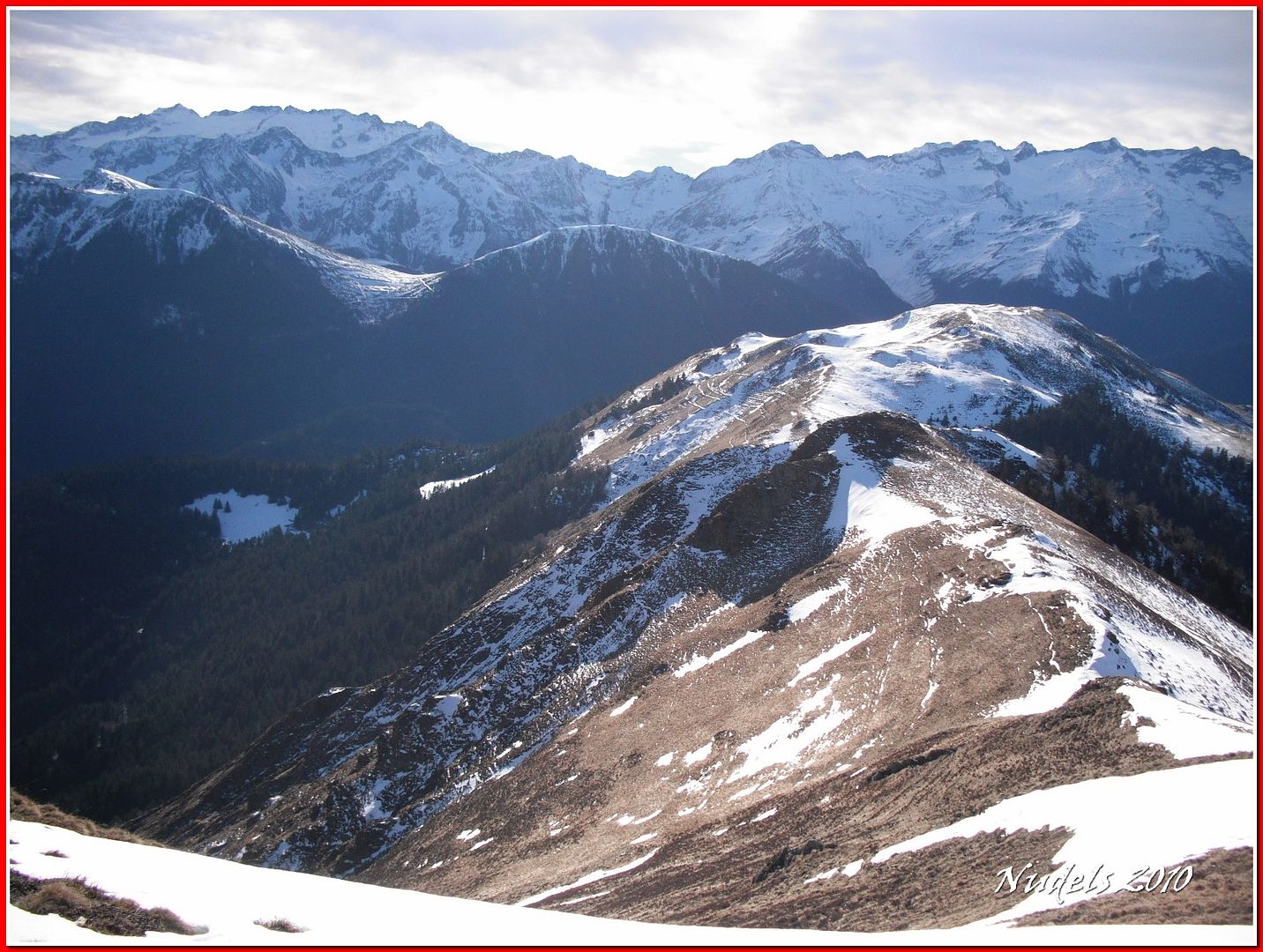
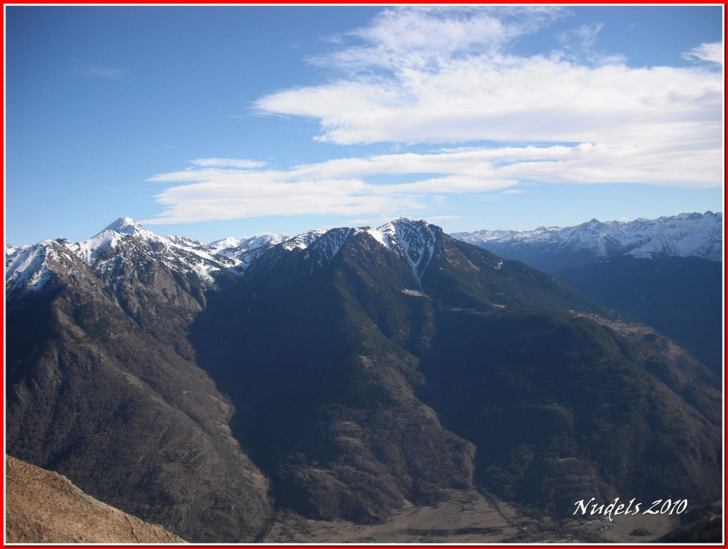
12h23: Impresionante el Tuc de Montlude y la Montanha d'Uishèra.
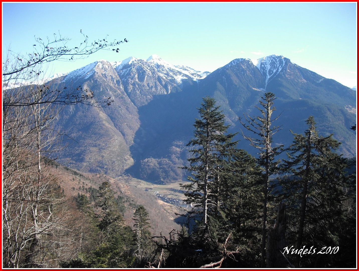
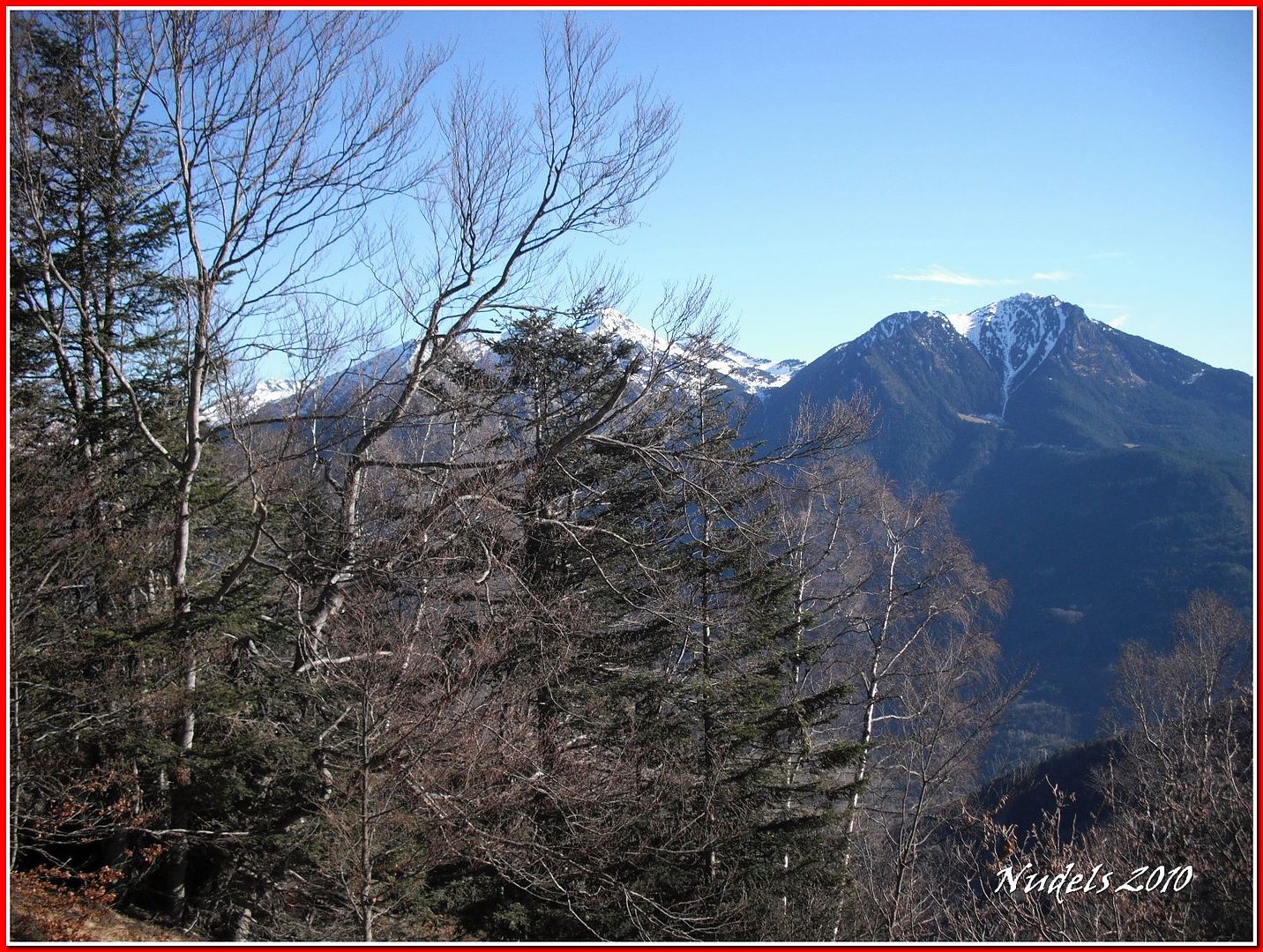
12h30: La Trona y el Tuc d'Aubàs.
12h30:
12h30:
12h30:
12h30: Tramo fianal para salir del bosque.

12h30:
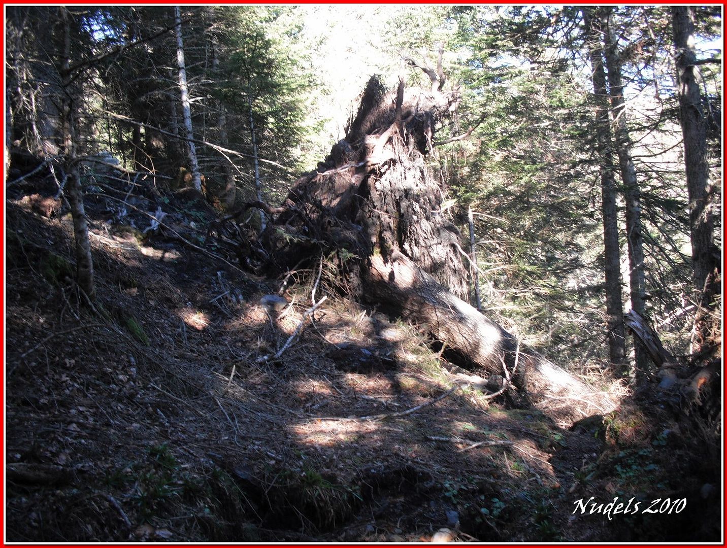
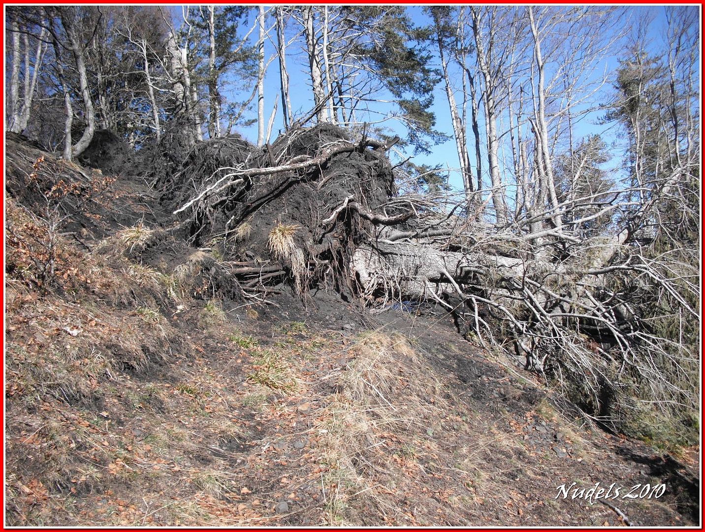
12h32: Caída en serie, hasta cuatro árboes con sus raices y todo.
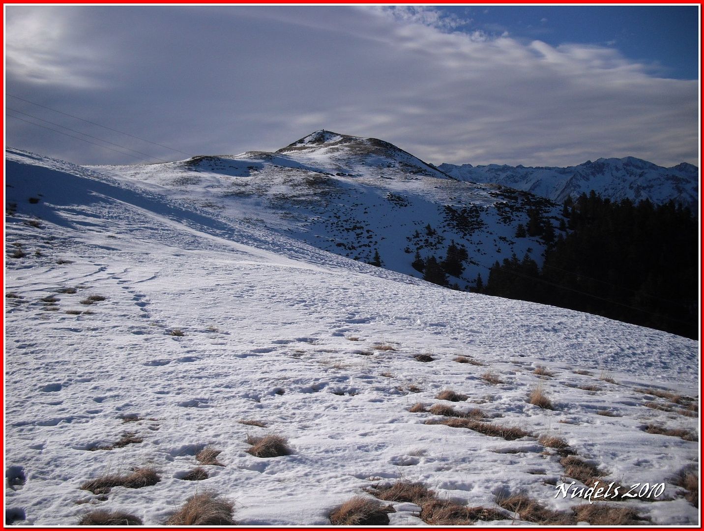
12h38: Hacia el norte tengo mi objetivo.

12h38:
12h40:
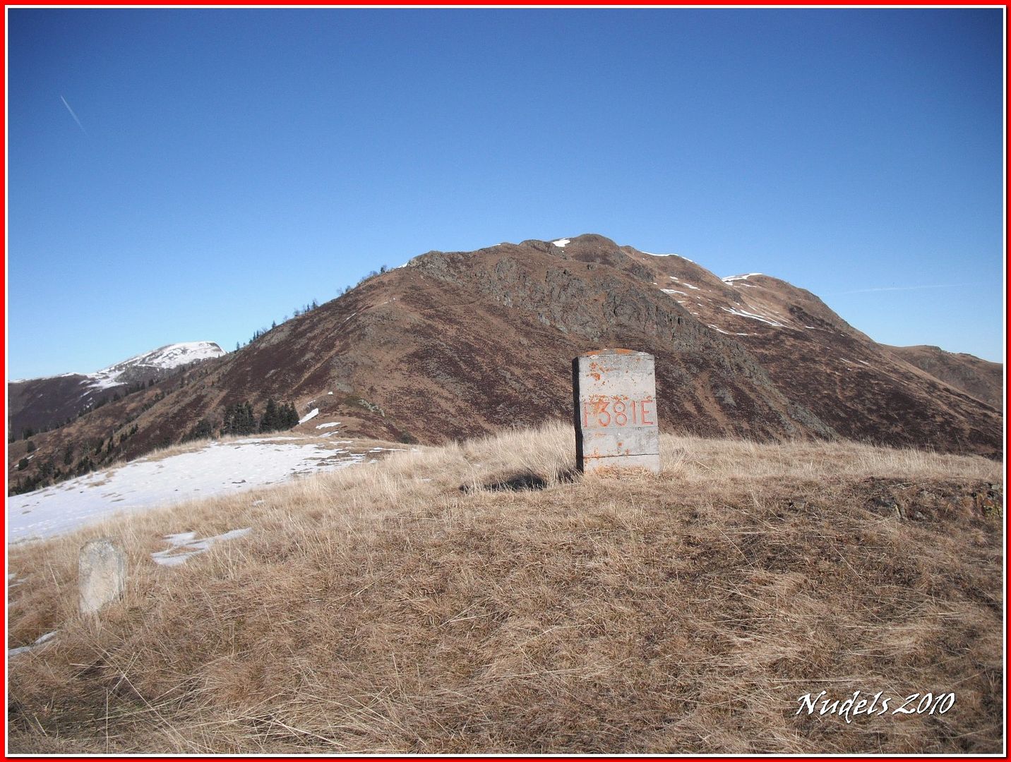
12h54: Cerca de la torreta está situada la muga 381.
12h55: A mi espalda tengo alguna muga que hoy no visitaré.

12h55: La parte francesa.
12h56: Aquí la tengo, la muga 381.
12h57: Sigo para adelante.

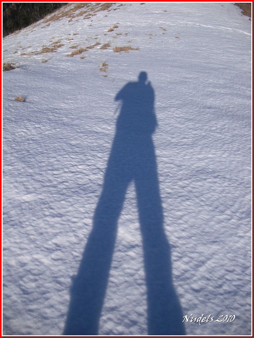
12h58: Llega el momento del autorretraro.
12h59: Parte francesa.
12h59:
13h00:
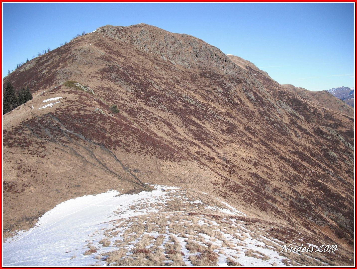
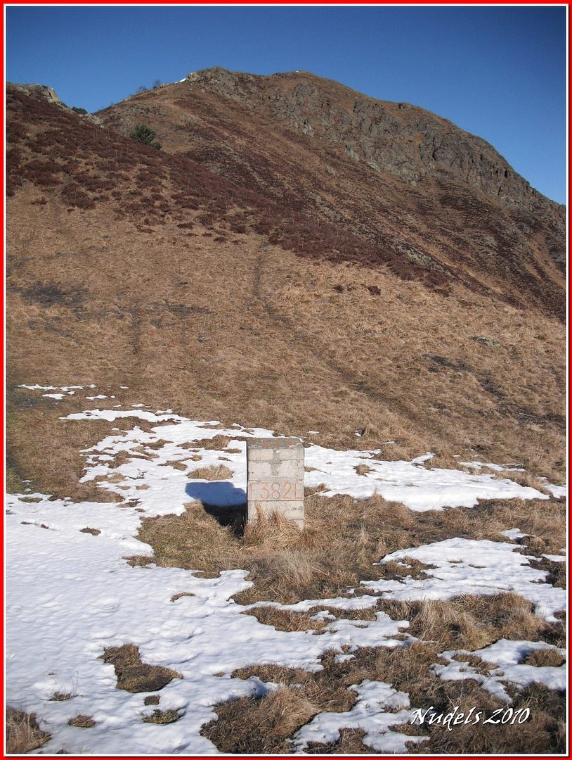
13h02: Llego a la muga 382.
13h07:
13h19:

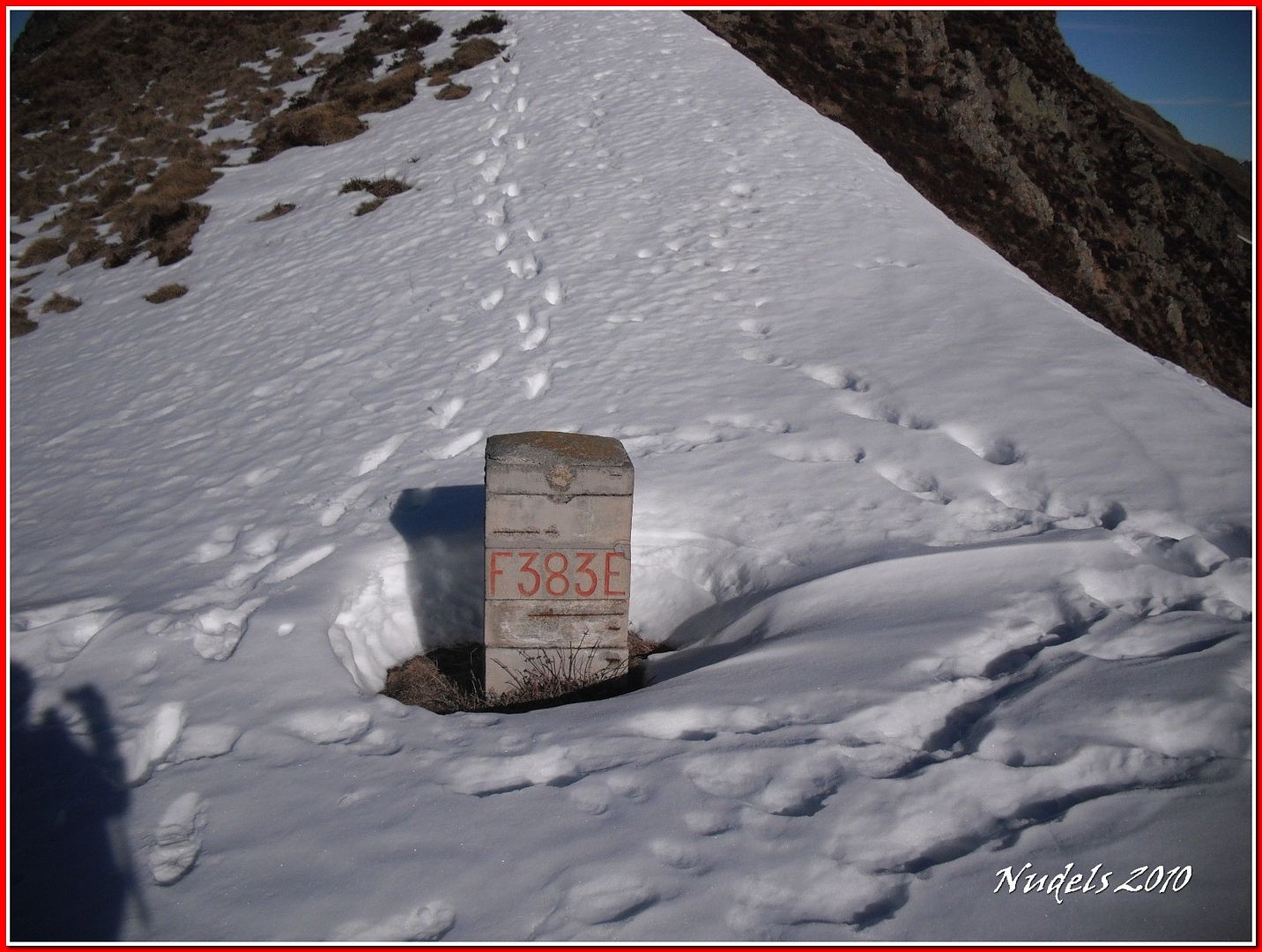
13h22: Entre la nieve está la muga 383.
13h23: La muga 383.
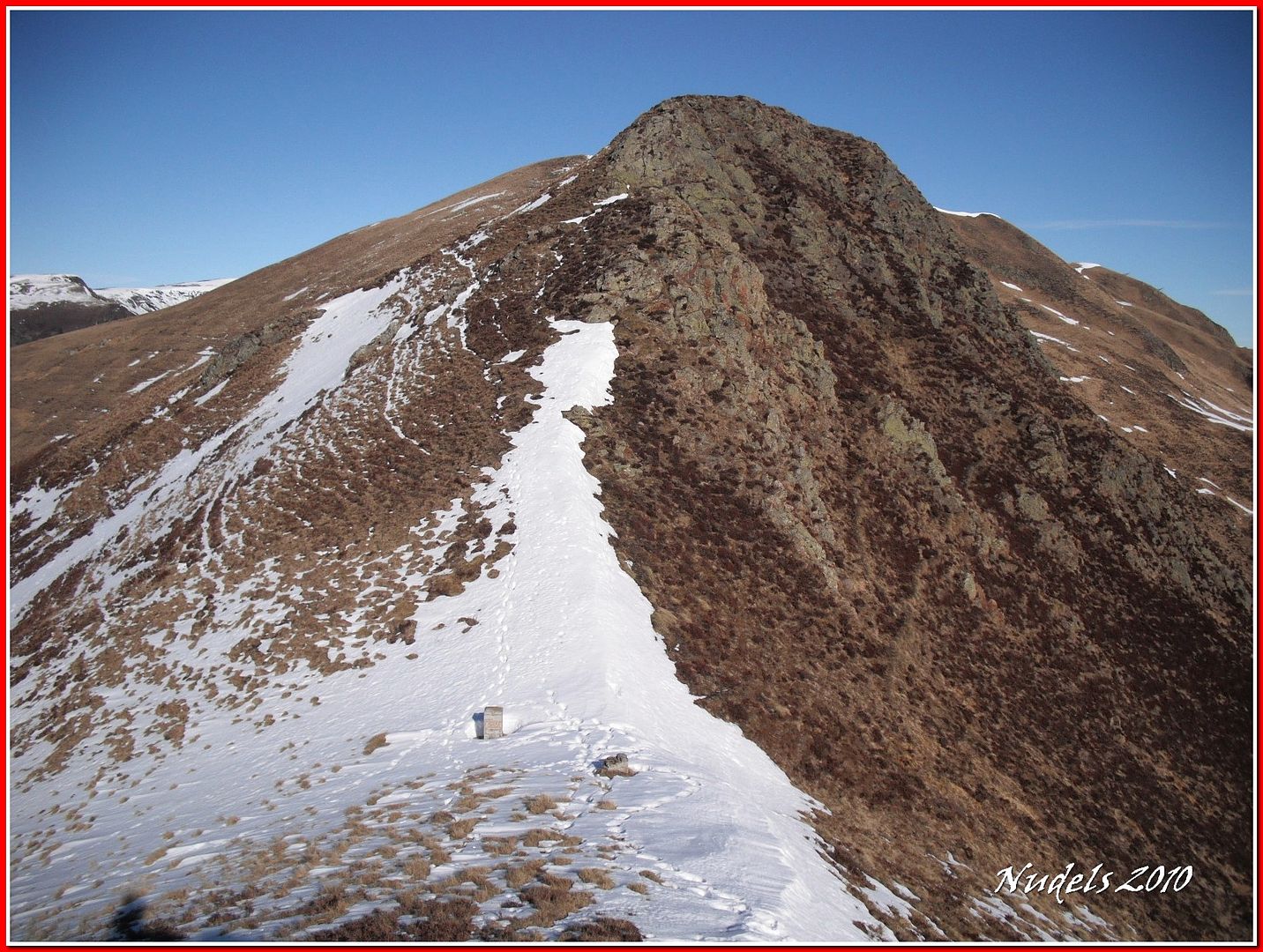
13h29: Unos minutos más allá llego a la muga 384.
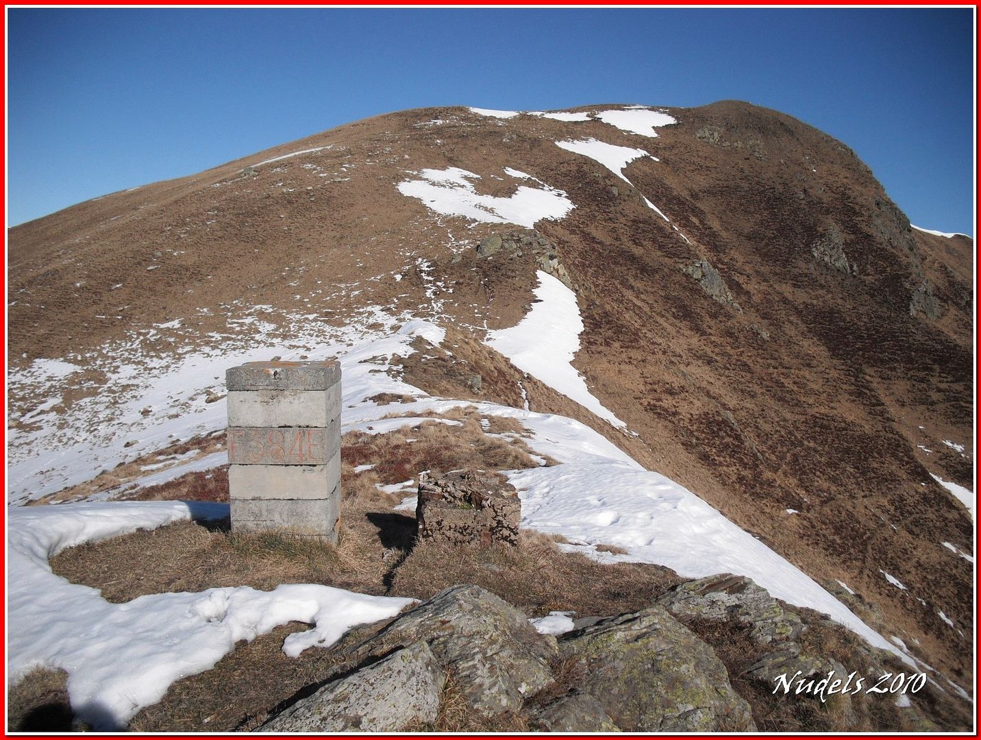
13h38: Esto es lo que dejo atrás.
13h39: Unos cuantos pasos más y...
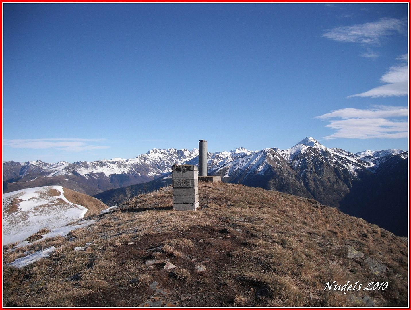
13h39: ...llego a la muga 385, al vértice geodésico (Estiuèra) ESTINUERA - 14857- HMTN:148Lon/Lat-ED500.6620110642.79929622X/Y UTM-31308802.364741263.65 Alt2016.40 y también...
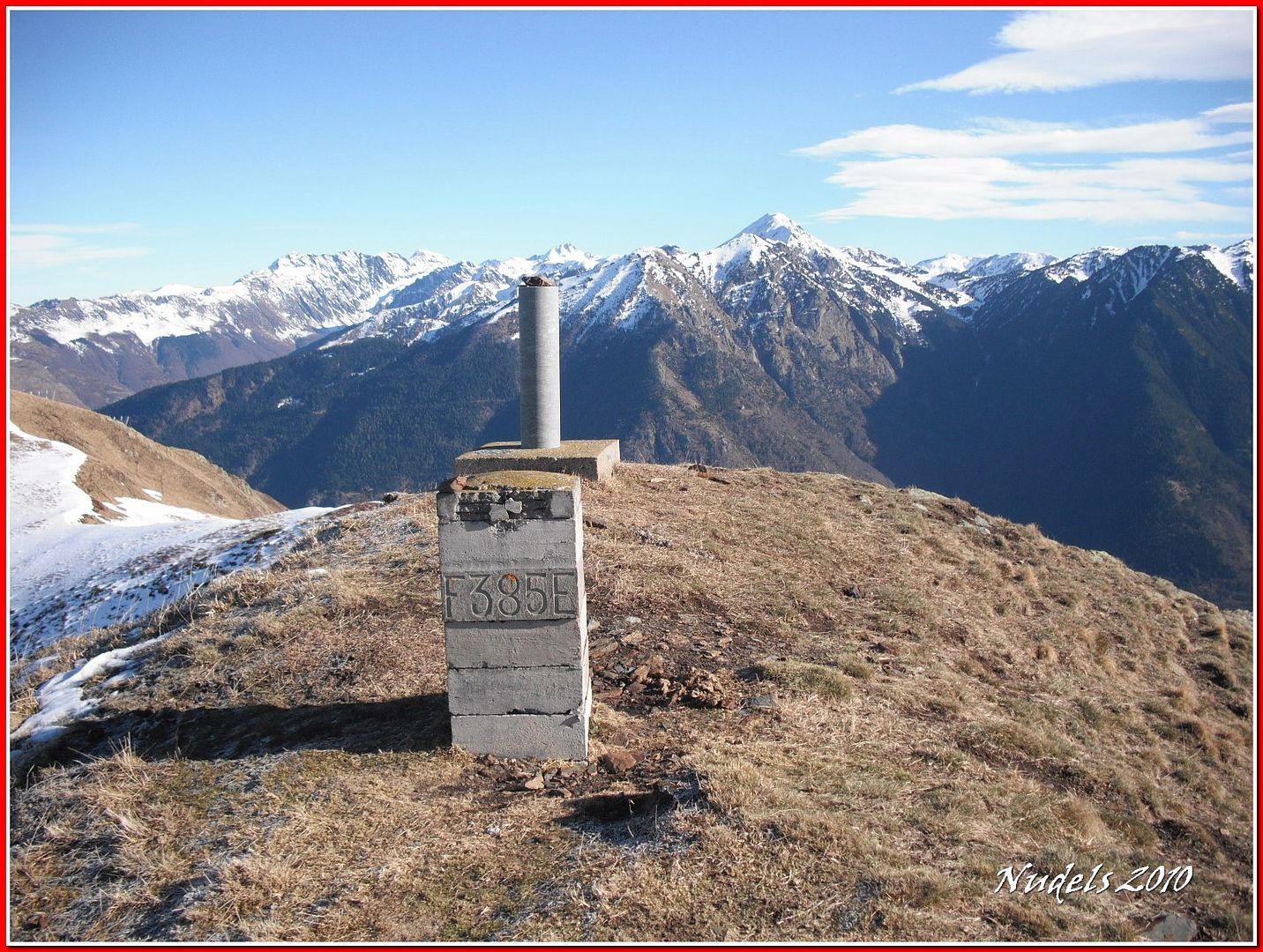
13h42: ...a lo más alto del Tuc de Pujastó que para ser preciso mide 2.016,40 metros de altitud.

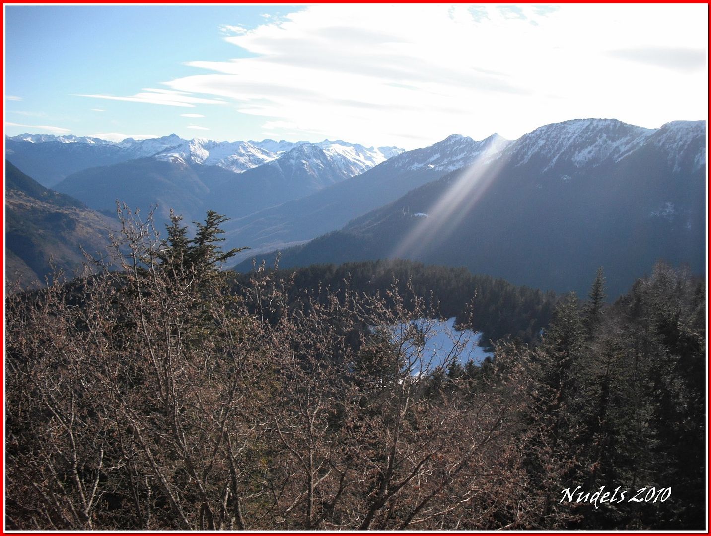
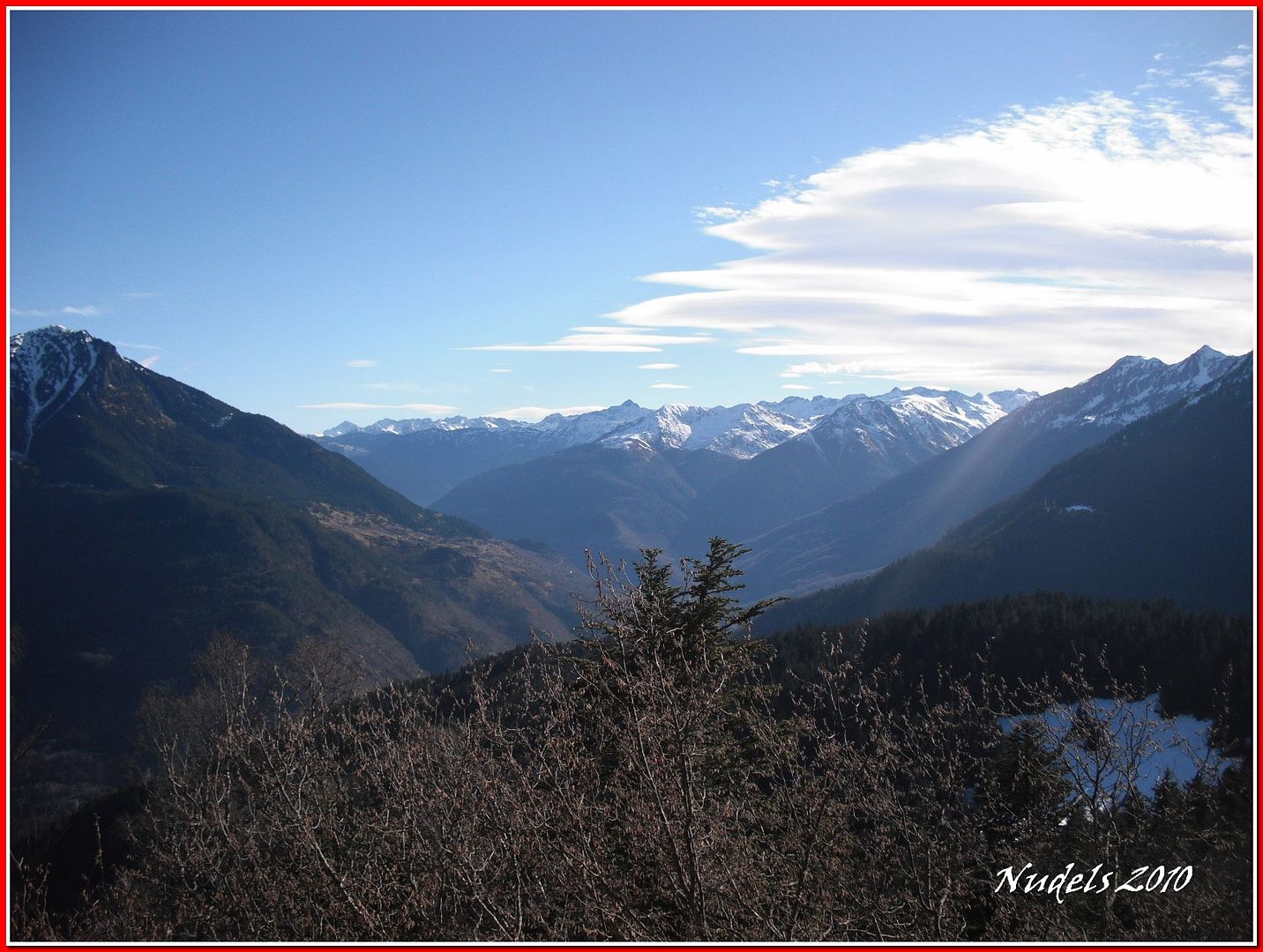
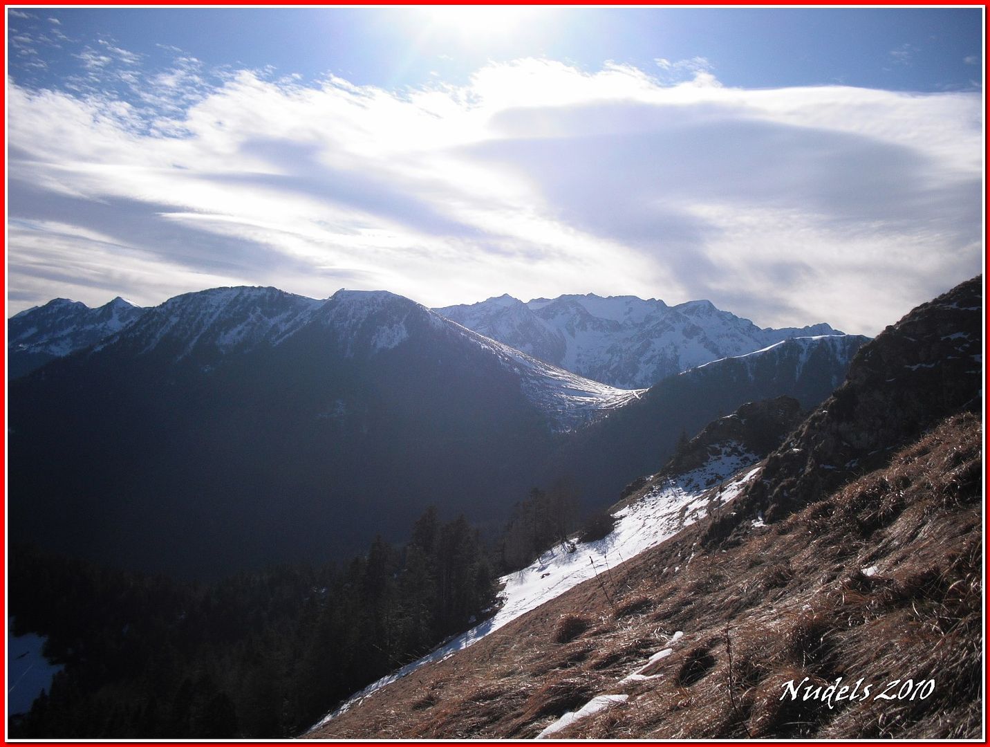
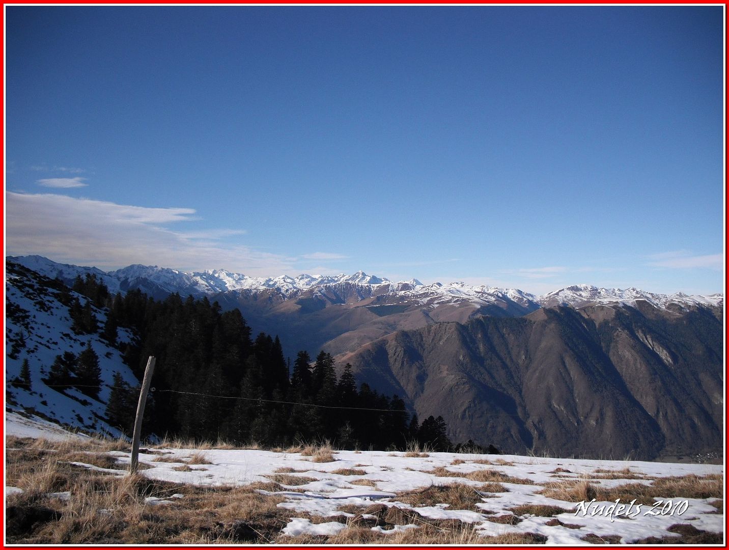
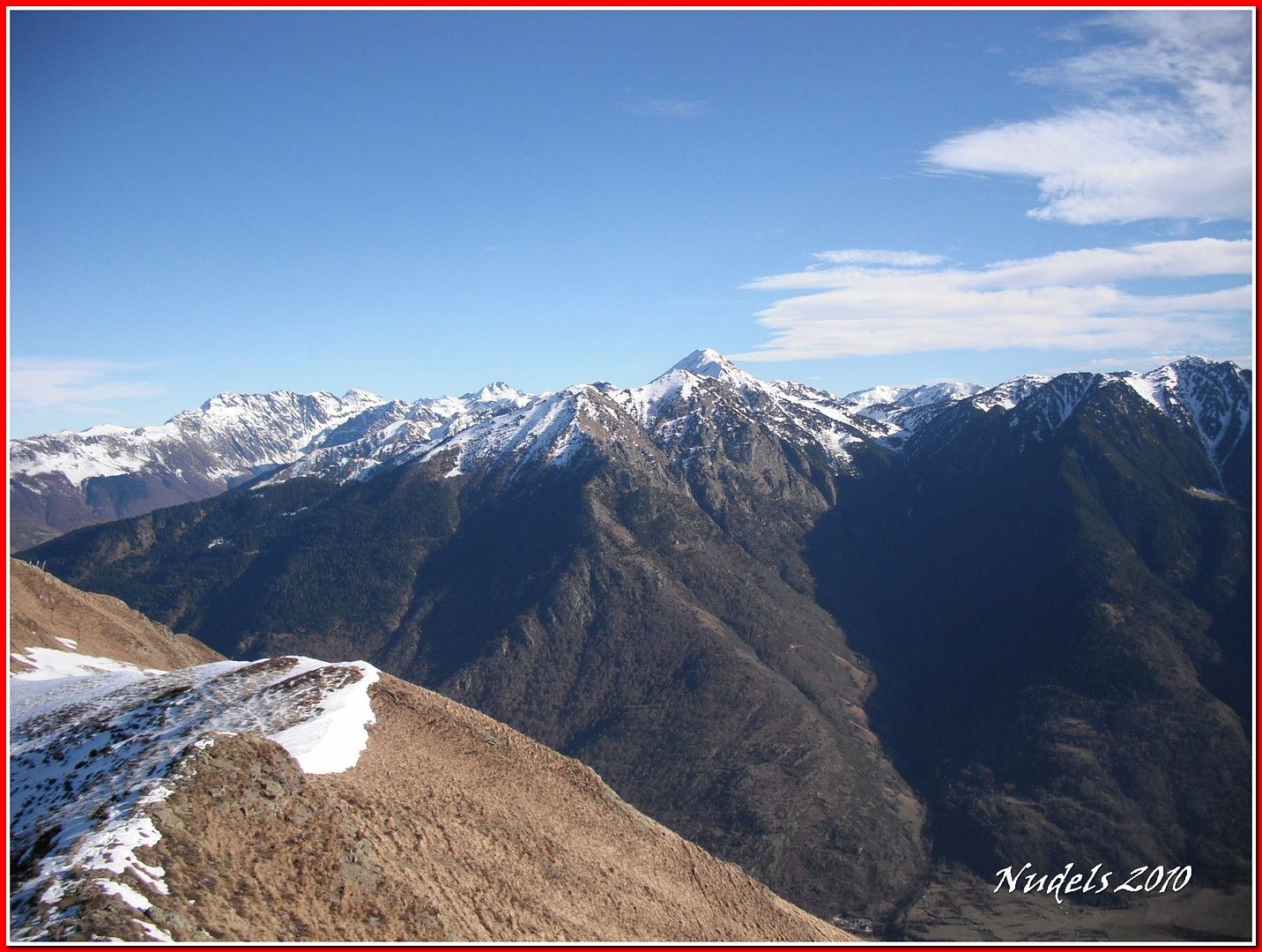
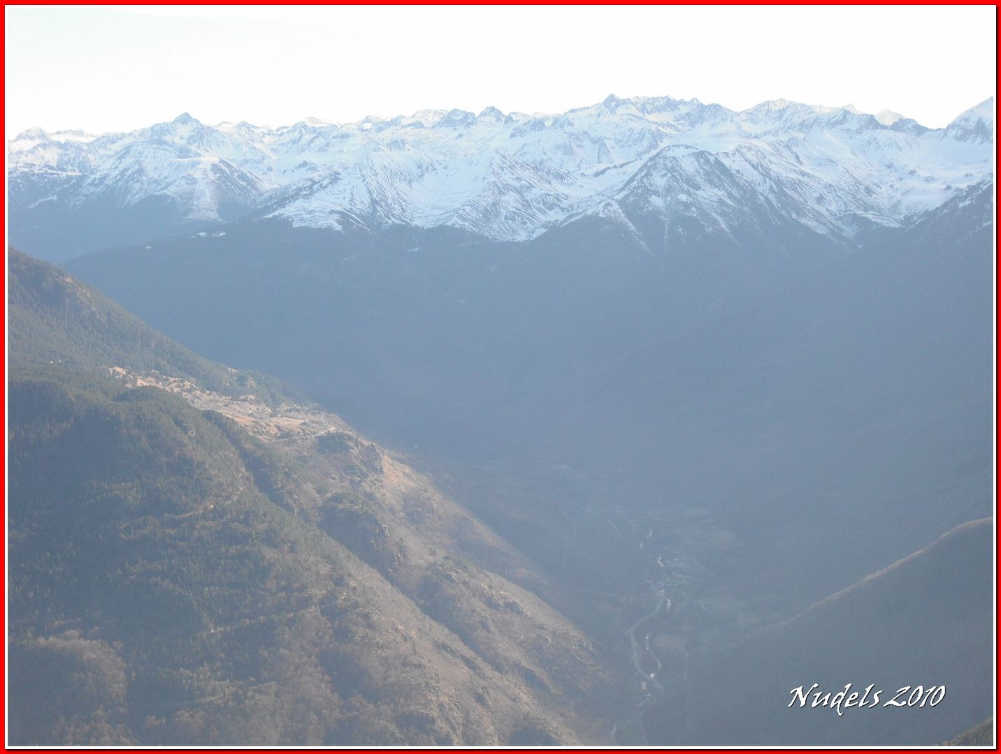
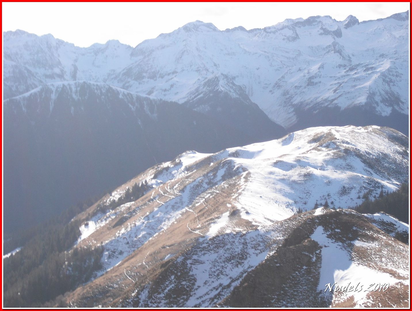
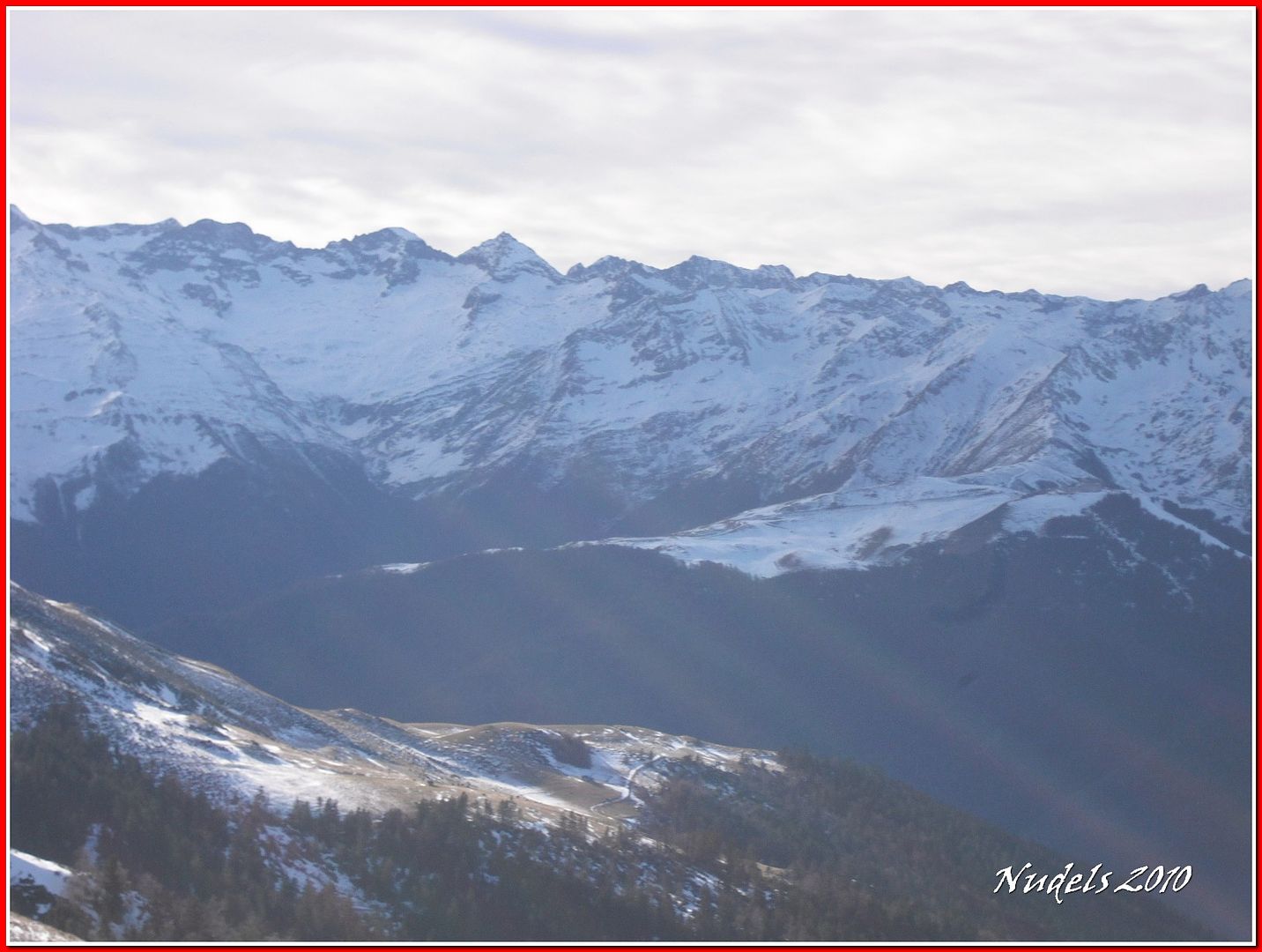
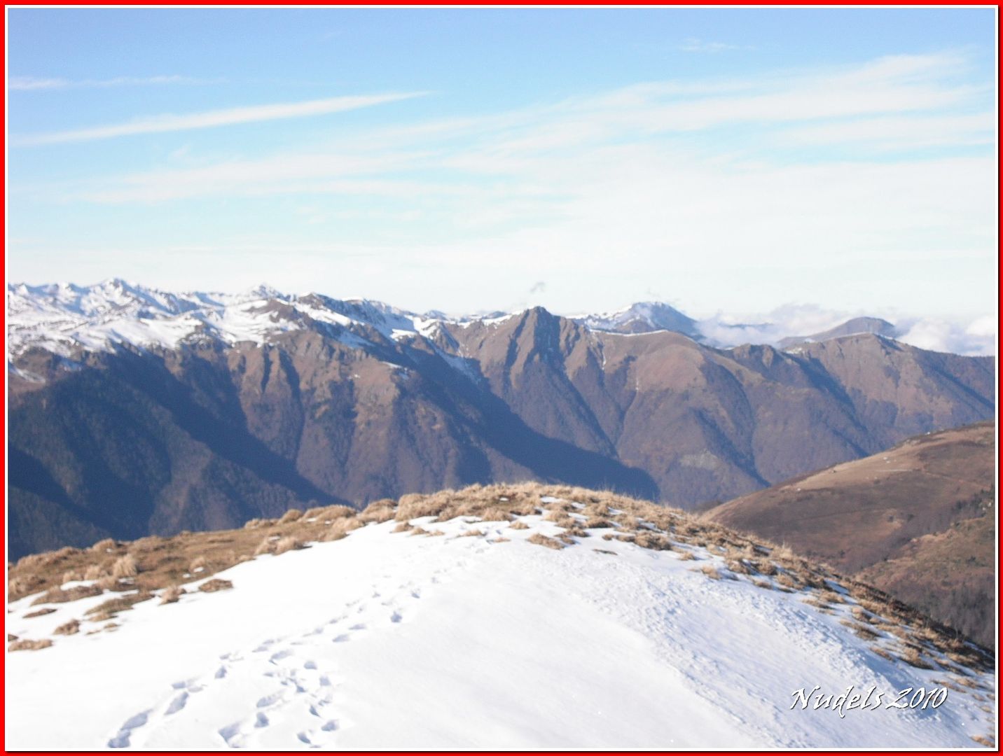
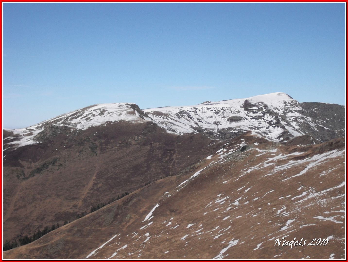
13h52: Las vista son inmensas...
13h52:
13h52:
13h52:

13h52:
13h52:
13h52:
13h52:

13h52: Al fondo el Tuc de Bacanera o Tuc deth Plan deth Òme (2.192 m.).
13h53:

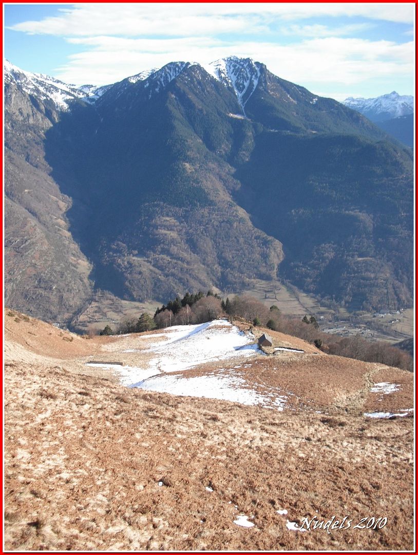
14h22: Pues para allí voy.

14h22:
14h28:

14h28:
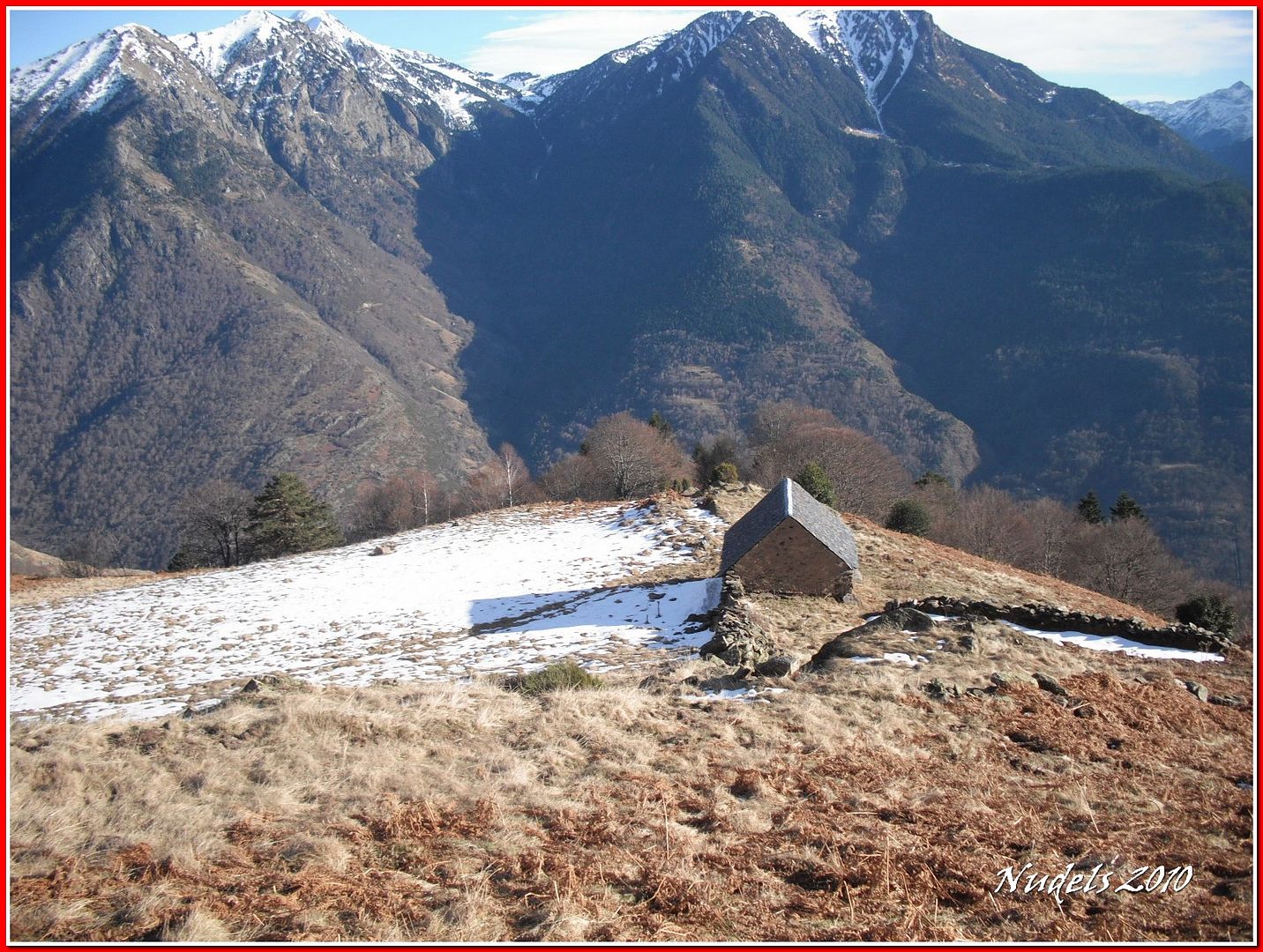
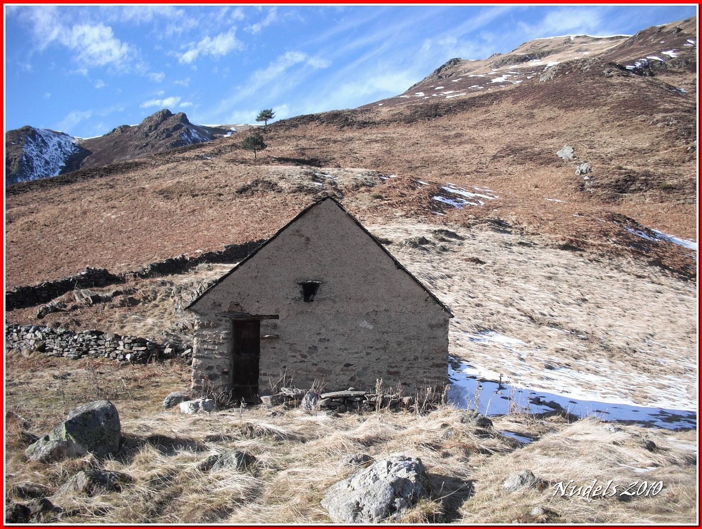
14h30: El exterior de la cabaña.
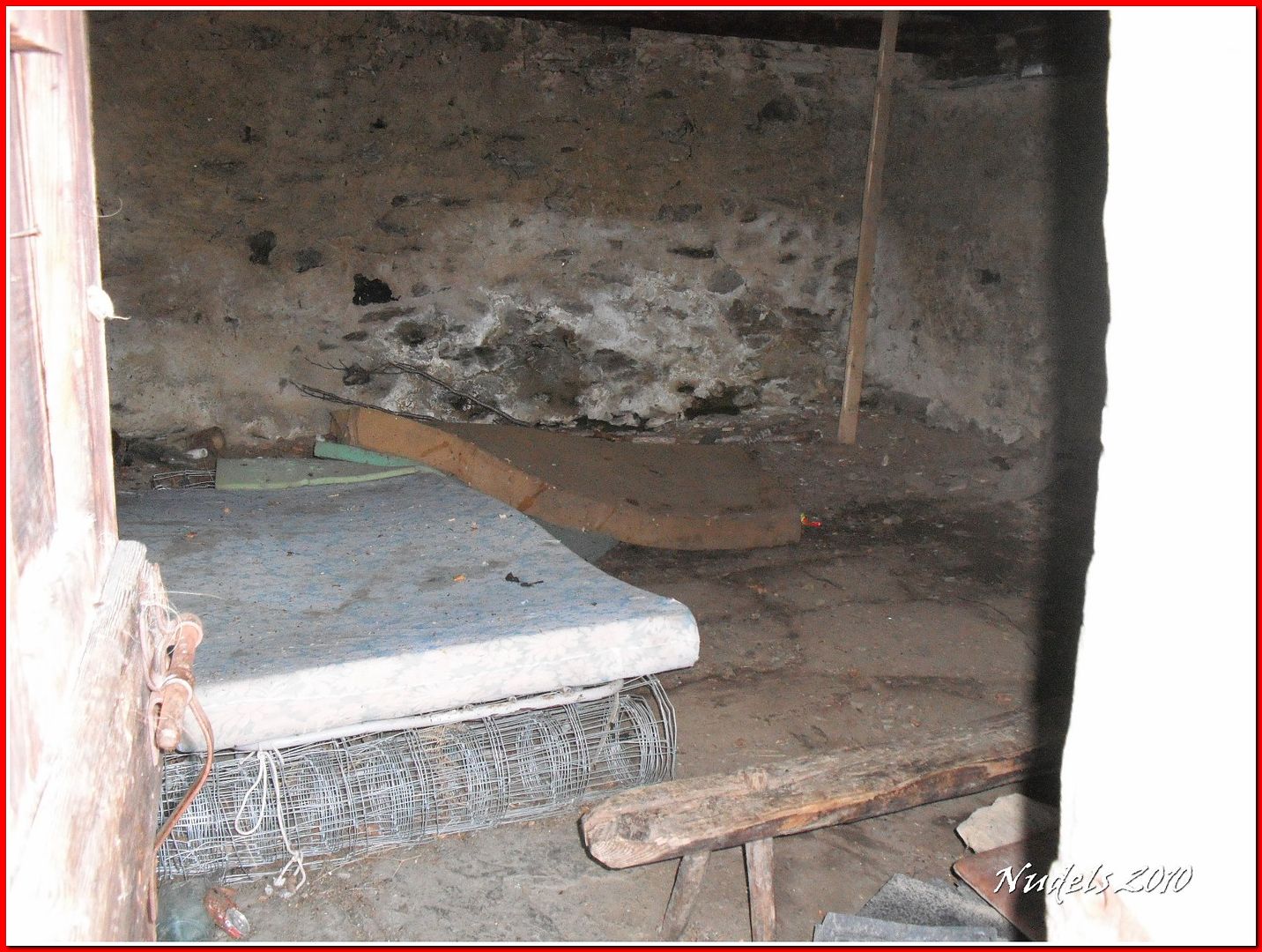
14h30: El interior de la cabaña.
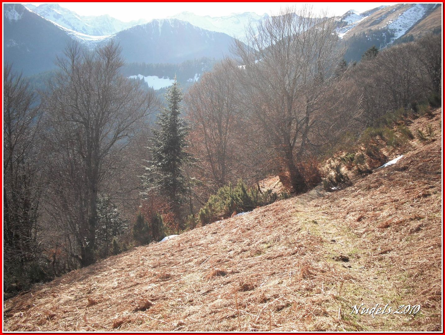
14h31: Busco el camino para bajar y lo encuentro con rapidez.
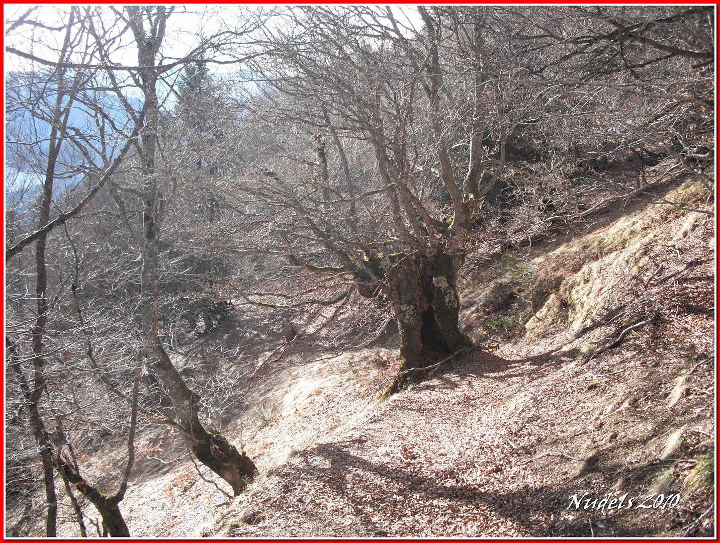
14h32: Al bosque las hayas también le dan un encanto especial.
14h35: Seguiré la indicación no me queda más remedio porque el resto es un frondoso bosque.
14h35: El sendero se ensancha esto es un paseo.
14h36: Unos abetos caidos flanquean el camino pero se sortean sin mayor contratiempo.
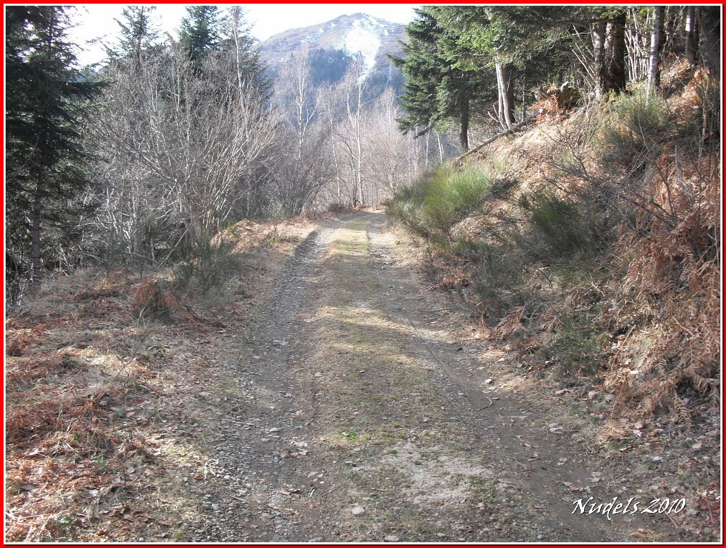
14h44: La pista de Saubaga, unos kilómetros sin apenas desnivel y la actividad se habrá terminado.
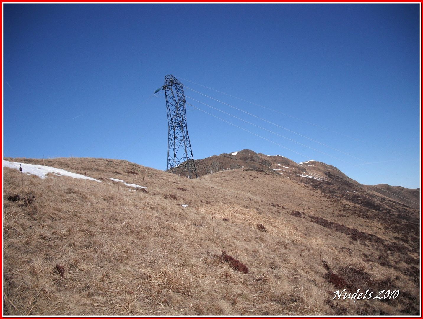
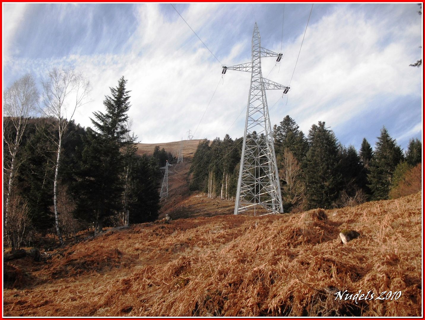
13h00: La línea de alta, la electricidad que se va para Francia y que también viene de Francia.
13h08: Llego al vehículo.
13h27: El Portilòn de Bossòst ahora regreso para casa porque me espera una comida pantagruélica.

Datos obtenidos de MapSource.
Datos obtenidos de Wikiloc.


5 comentarios:
Aupa Paco.Bien has empezado el año.Veo que la nieve por ahí,también brilla por su ausencia.No comas mucho que no es bueno para la salud.Que sigas disfrutando.Un saludo.
Buen estreno de temporada en este año que comienza, aunque pensaba que habría más nieve por allí... felicidades por la colección de mugas, cuántas llevas en total??
Coincido con Xabier, no comas demasiado durante estos días... :)
Un abrazo.
Buen inicio de temporada Paco! aunque como dice Xabier parece que escasea la nieve por la zona, una pena, a ver si mejora un poco el tema que si no empezaremos la temporada estival antes de hora...
Por cierto cuantos arboles arrancados por la zona, parecen los restos de aquel ciclón del año pasado?
Un saludo
Hola Nudels!
Un recorrido apto para cualquier estómago maltratado por los excesos navideños.
Creo que esto sólo ha sido un calentamiento y pronto nos mostrarás como deslizas en cotas más altas.
Un saludo.
Xabier:
Si, si poca nieve, muchas ganas de hacer montaña y también poco tiempo para ello.
Sarita:
Tengo una enorme colección de mugas, muchas repes como los cromos. El yantar es otra de mis grandes pasiones.
Luis:
Si, poco nieve y efectivamente son los restos de Xintya que duraran muchas, muchas décadas.
Sherpa:
Montañero Sherpa, a ver, a ver si pronto podemos sacar las tablas, para rayarlas.
Gracias a todos por vuestra visita y vuestros comentarios.
Publicar un comentario