PRÓLOGO :
De nuevo en el Sur de Francia hoy tengo poco tiempo para gestionar la mañana y me decido por el departamento del Haute Garonne, por unas montañas ya conocidas sus nombres: El Pic du Gar (1.756 m.) y el Pic Saillant (1.785 m.), no haré la bonita circular "Lou du Cagira Burat GR" subiré y descenderé por el mismo itinerario por cierto nada despreciable porque tiene algo más de 1.000 metros de desnivel positivo y así también me aseguro unas buenas agujetas...
SITUACIÓN :
Francia, departamento de Haute Garonne, población de Bezins.
OBSERVACIONES Y CURIOSIDADES :
Es conveniente llevar agua desde la salida.
Telefonía móvil: Cobertura telefonía móvil a través de la itinerancia, con redes francesas.
instantáneas capturadas con una cámara digital Fujilm 100.
DATOS TÉCNICOS: REFERENCIA: Mapa excursionista: Carte de randonnées Pyrénées carte 5 Luchon. Escala 1:50.000.
Actividad: Senderismo cerca de Bezins-Garraux, Midi-Pyrénées (France)
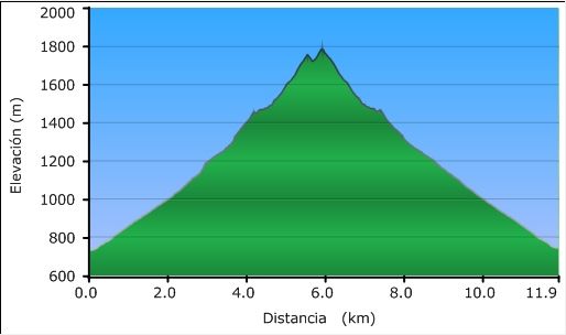
Distancia recorrida: 12,21 kilómetros
Altitud min: 731 metros, max: 1.787 metros
Desnivel acum. subiendo: 1.091 metros, bajando: 1.080 metros
Grado de dificultad: Fácil
Tiempo: 4 horas 43 minutos
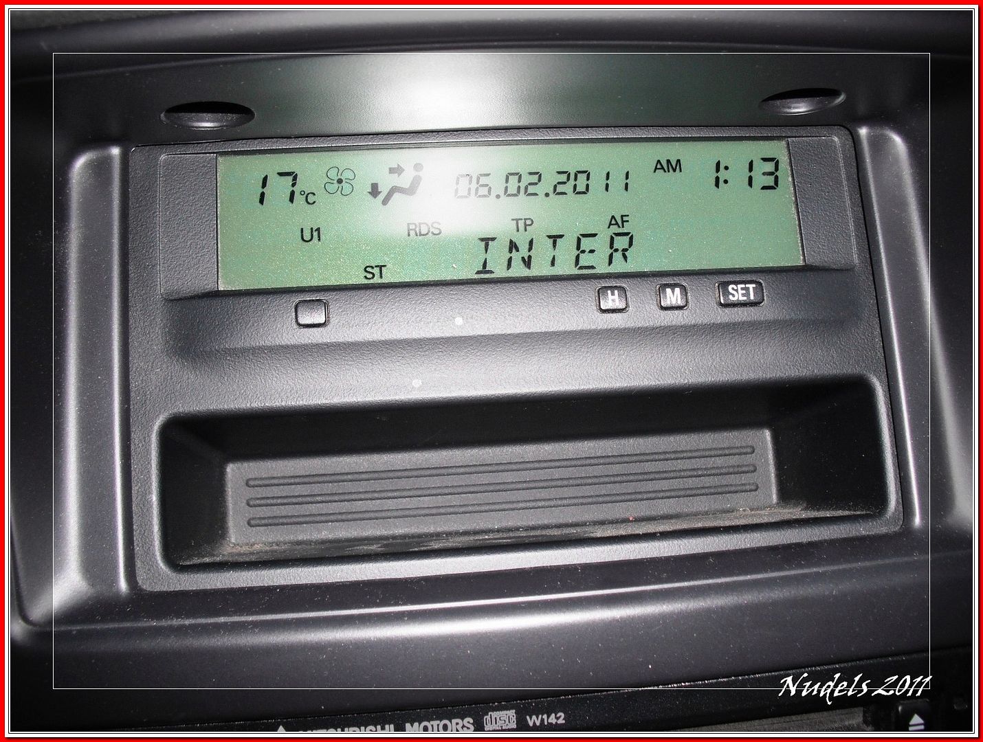
Fecha: 6 de febrero de 2011
Finaliza en el punto de partida (circular): Sí
El track

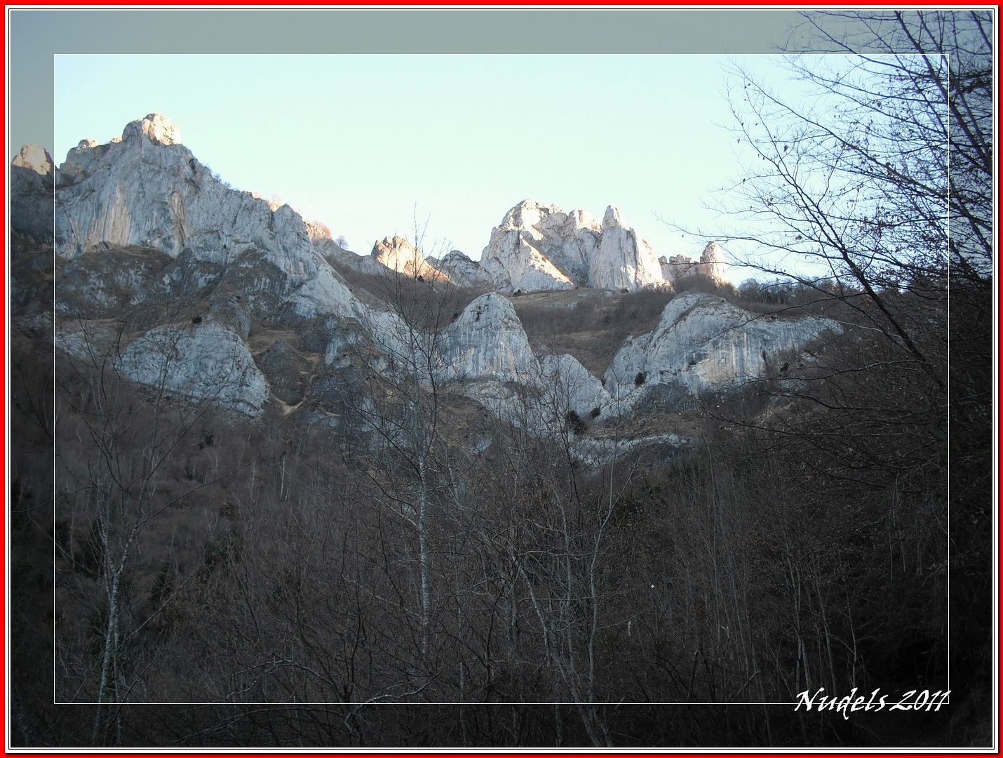
07h53: Tengo enfrente imponente el Pic du Gar.
07h59: Por la carretera local llego a Bezins.
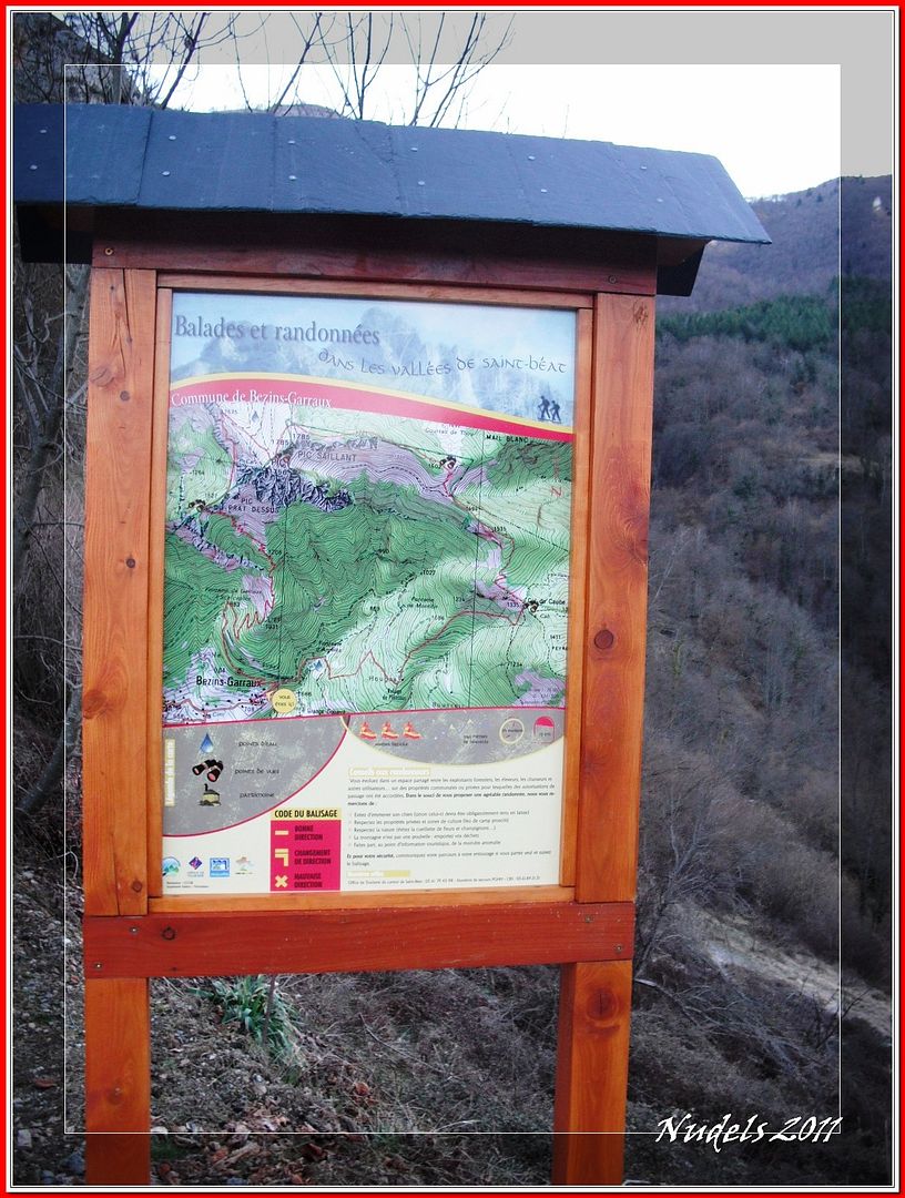
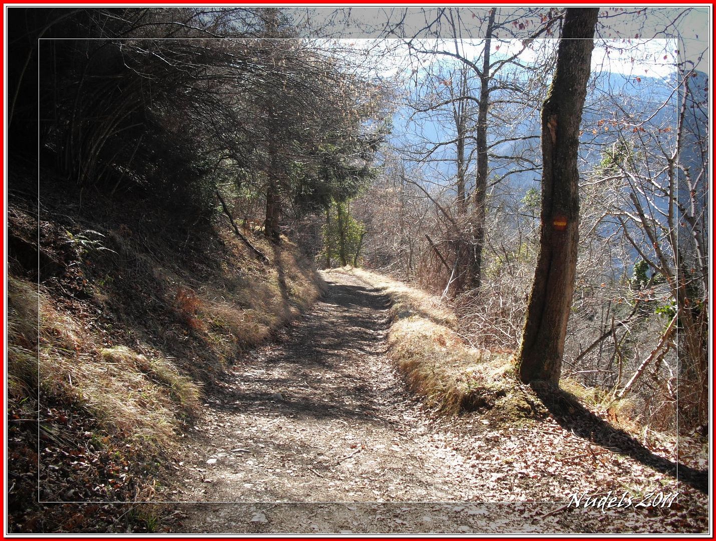
08h10: El itinerario.
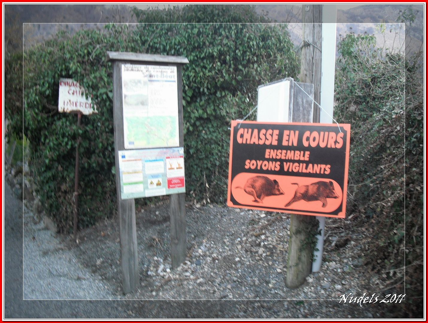
08h11: Al fondo los cazadores, de nuevo me dicen "no problema".
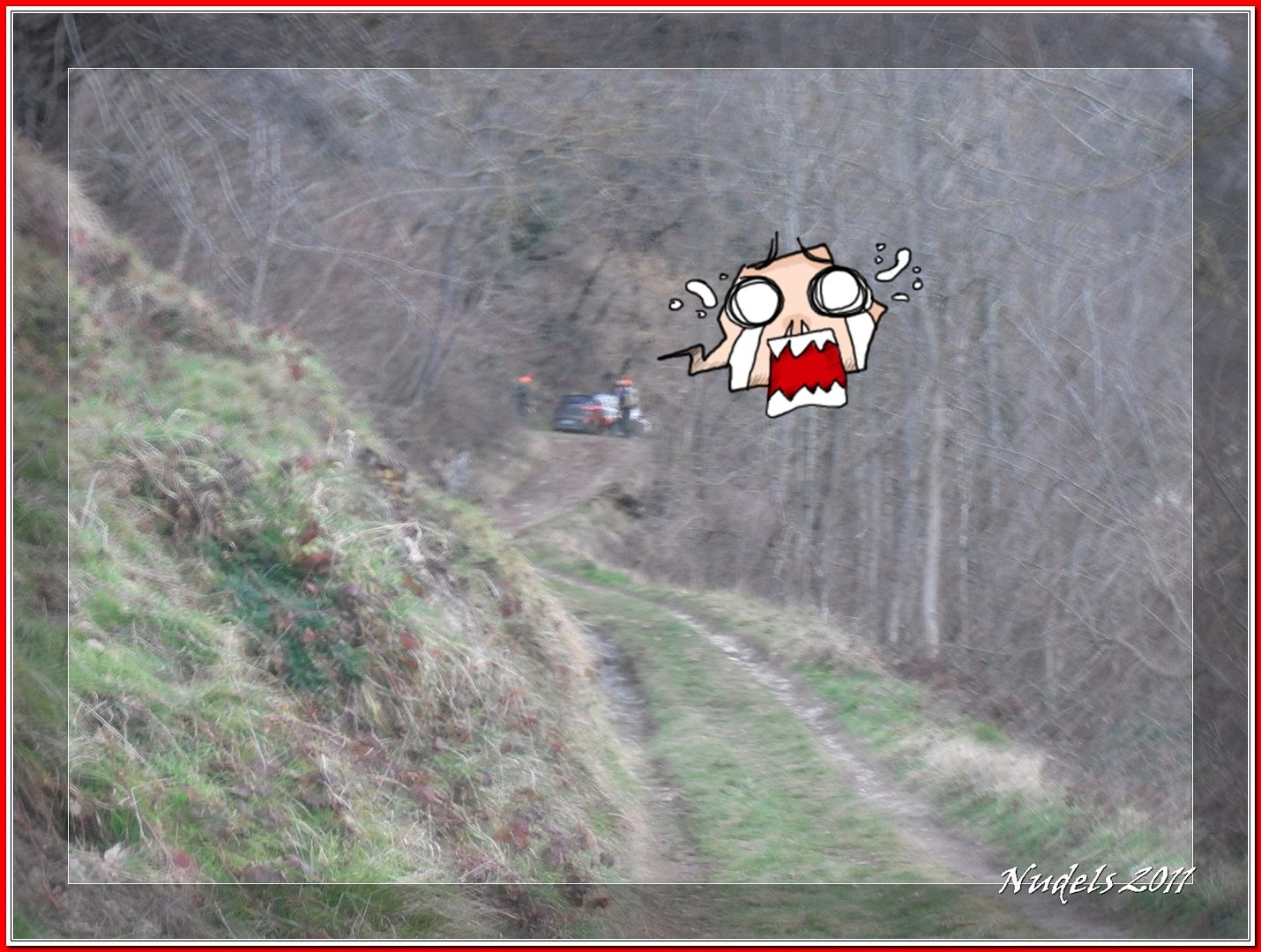
08h26: Aún queda lejos.
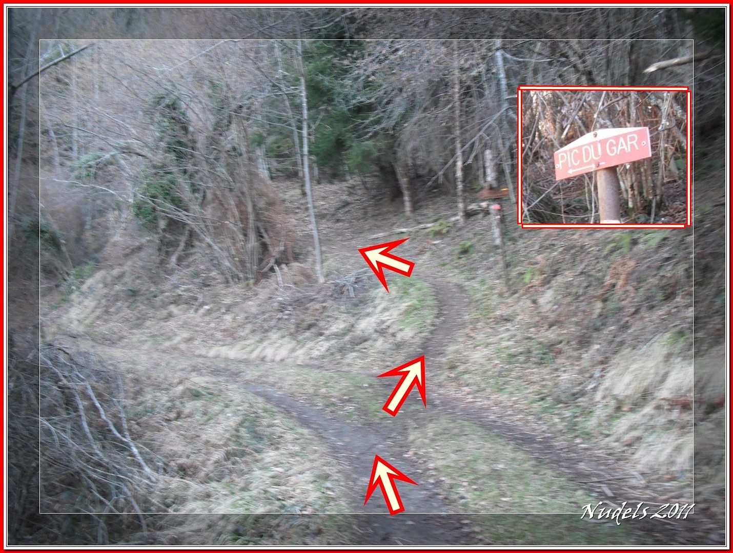
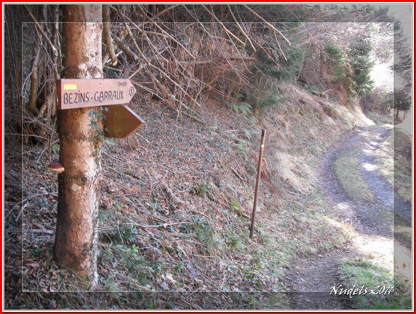
08h28: Dejo la pista forestal y tomo el desvío.
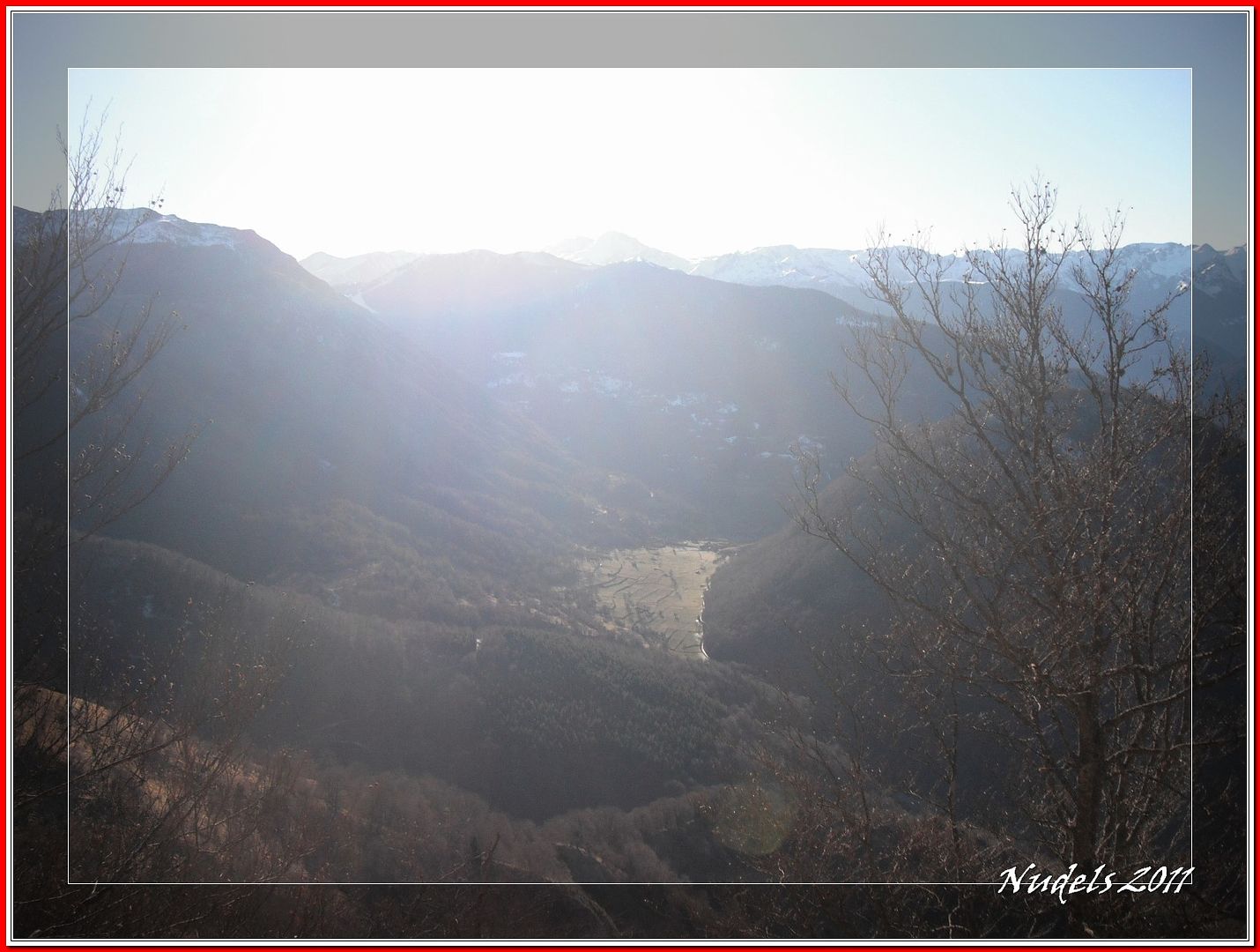
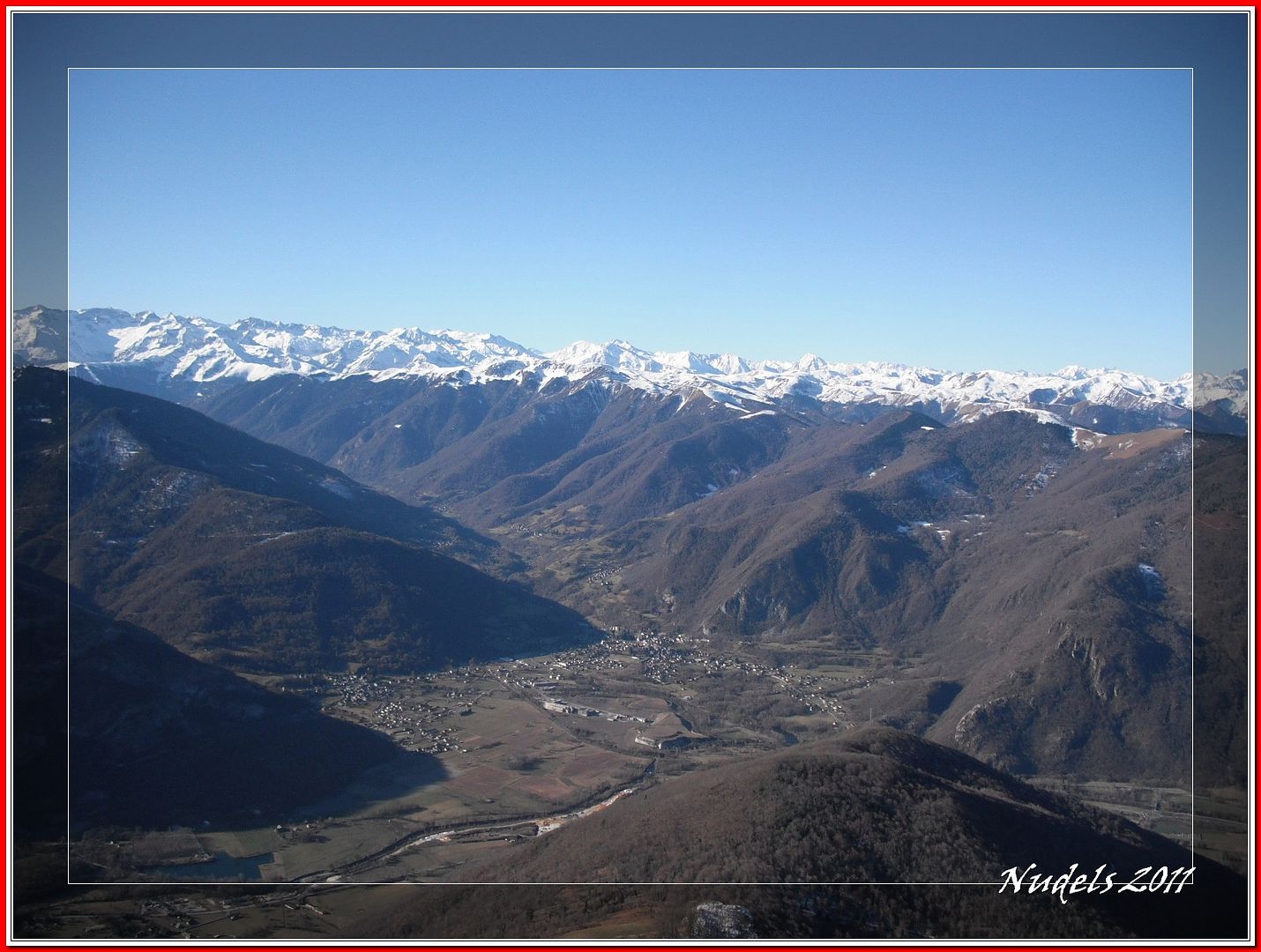
08h49: El valle y el pueblo de Ciep-Gaud.

08h54: Tengo que llegar al collado.
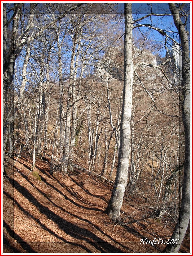
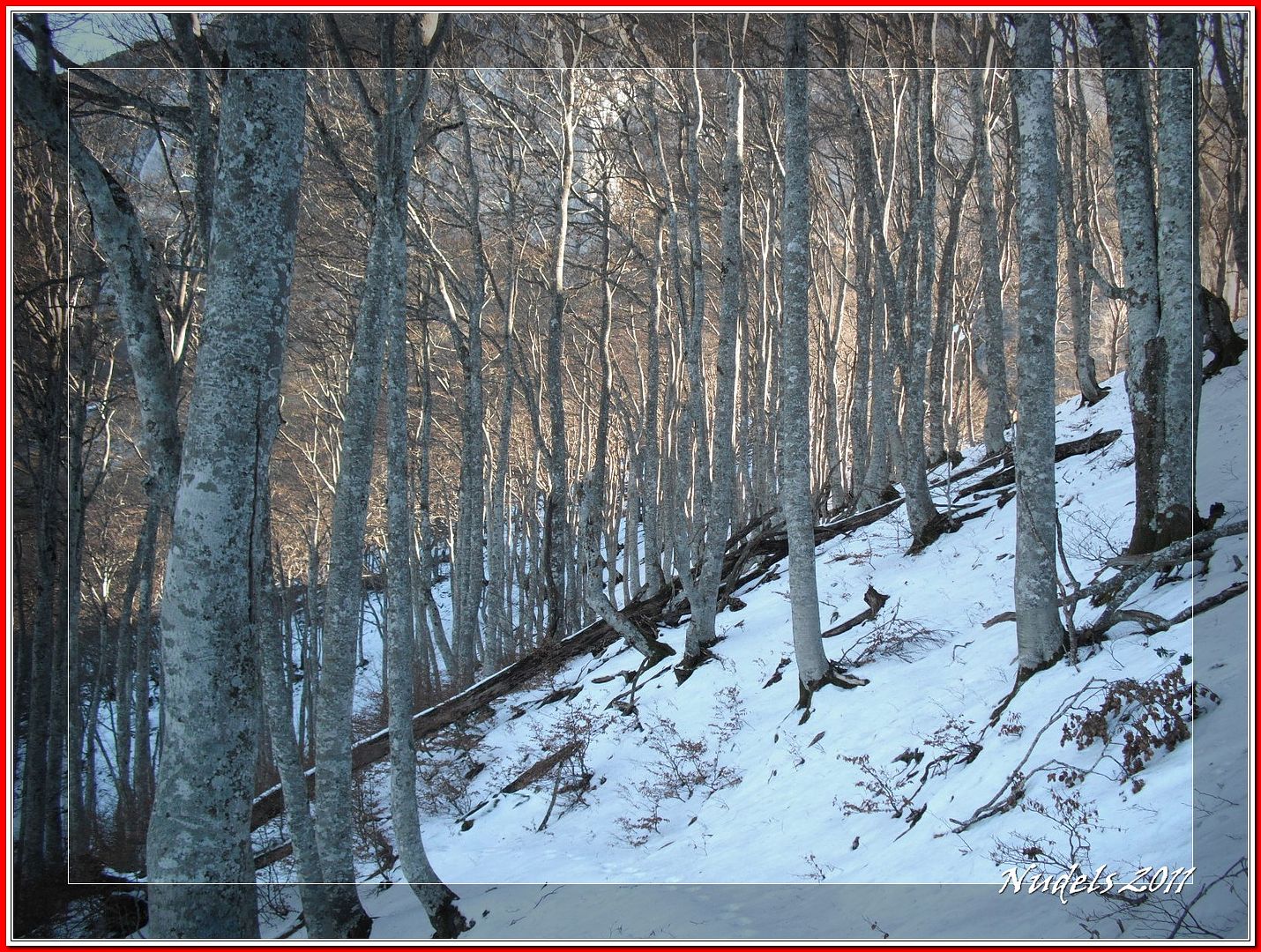
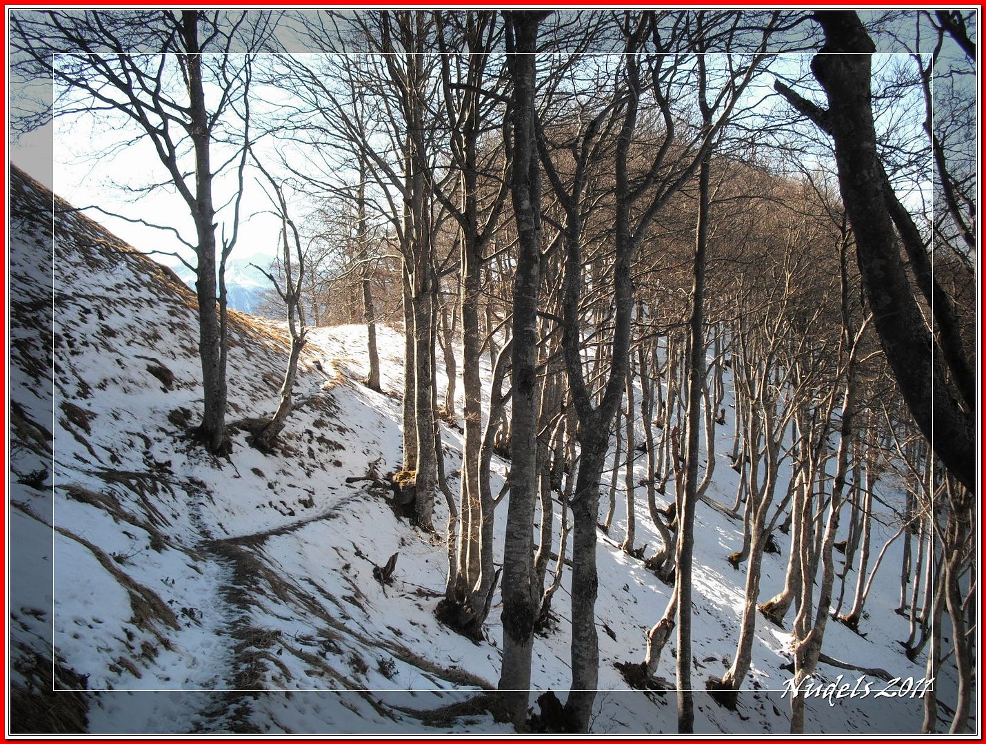
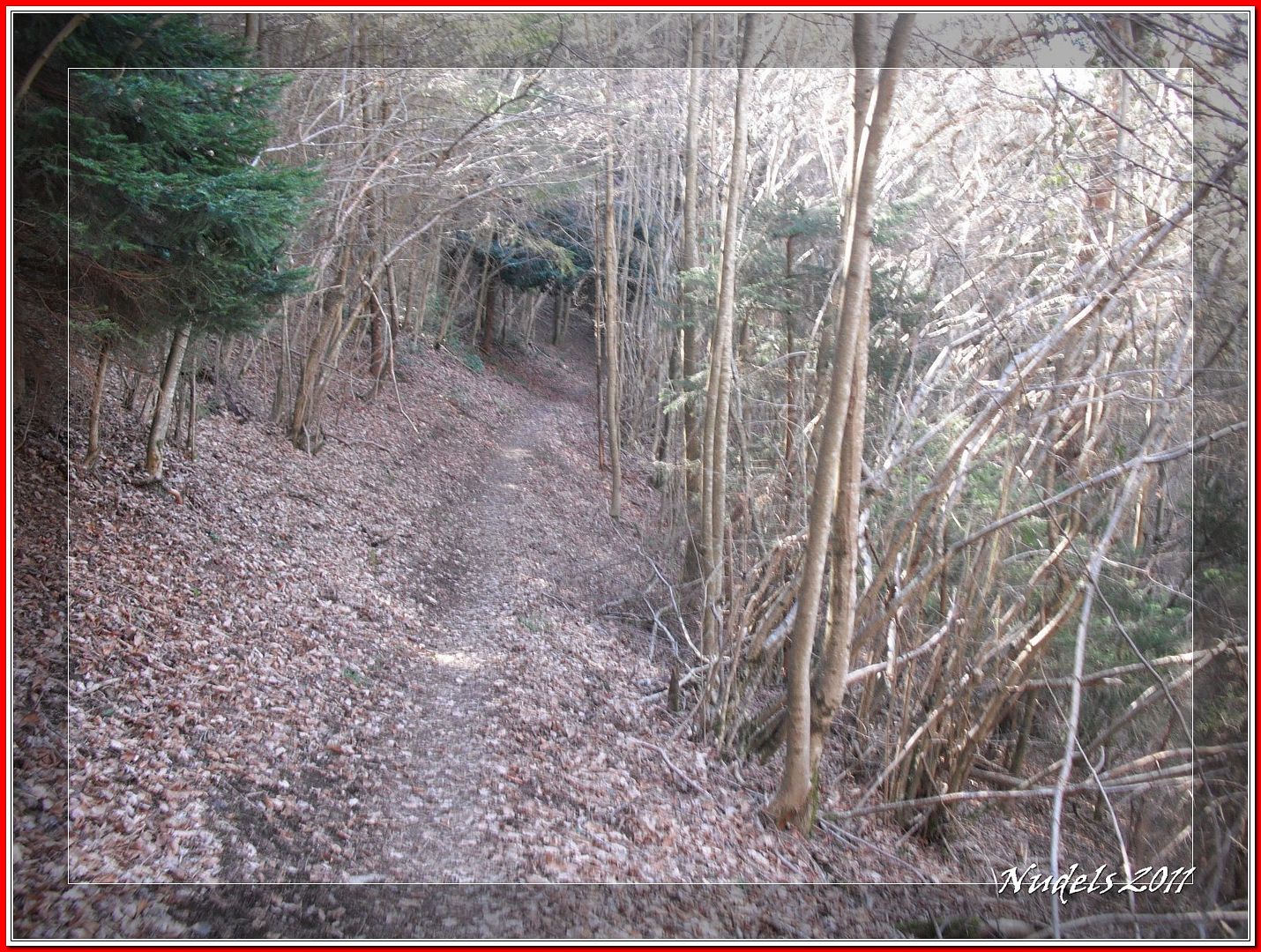
08h55: Un bonito hayedo.

08h55:
09h22:
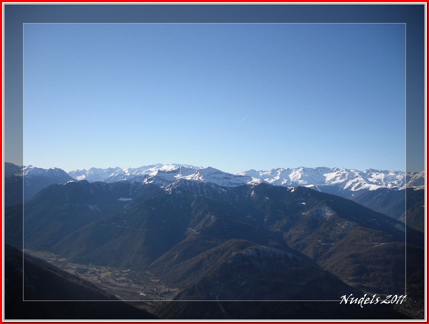
09h30: Mirando hacia el Este.
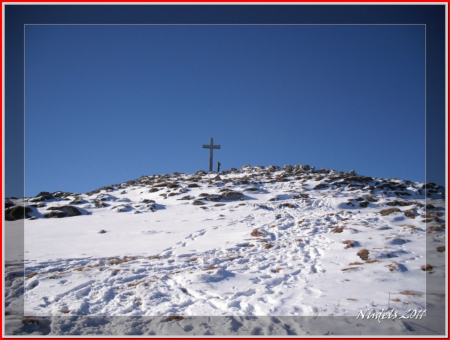
09h33: Por fin el collado Teyech o Prac dessus (1.455 m.).


10h23:


Datos obtenidos de MapSource.
Datos obtenidos de wikiloc.

De nuevo en el Sur de Francia hoy tengo poco tiempo para gestionar la mañana y me decido por el departamento del Haute Garonne, por unas montañas ya conocidas sus nombres: El Pic du Gar (1.756 m.) y el Pic Saillant (1.785 m.), no haré la bonita circular "Lou du Cagira Burat GR" subiré y descenderé por el mismo itinerario por cierto nada despreciable porque tiene algo más de 1.000 metros de desnivel positivo y así también me aseguro unas buenas agujetas...
SITUACIÓN :
Francia, departamento de Haute Garonne, población de Bezins.
Es conveniente llevar agua desde la salida.
Telefonía móvil: Cobertura telefonía móvil a través de la itinerancia, con redes francesas.
instantáneas capturadas con una cámara digital Fujilm 100.
DATOS TÉCNICOS: REFERENCIA: Mapa excursionista: Carte de randonnées Pyrénées carte 5 Luchon. Escala 1:50.000.
Actividad: Senderismo cerca de Bezins-Garraux, Midi-Pyrénées (France)
Distancia recorrida: 12,21 kilómetros
Altitud min: 731 metros, max: 1.787 metros
Desnivel acum. subiendo: 1.091 metros, bajando: 1.080 metros
Grado de dificultad: Fácil
Tiempo: 4 horas 43 minutos
Fecha: 6 de febrero de 2011
Finaliza en el punto de partida (circular): Sí
El track
© nudels Tots els drets reservats
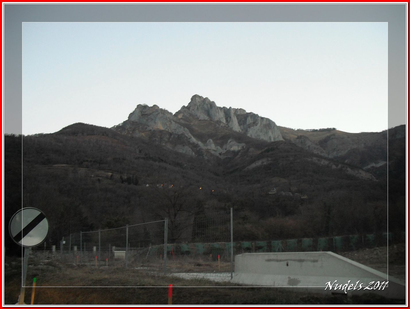
07h50: Viajando por la carretera francesa N-125 al llegar a la localidad de Saint Beat veo mi objetivo que no es otro que aquella enorme mole rocosa.
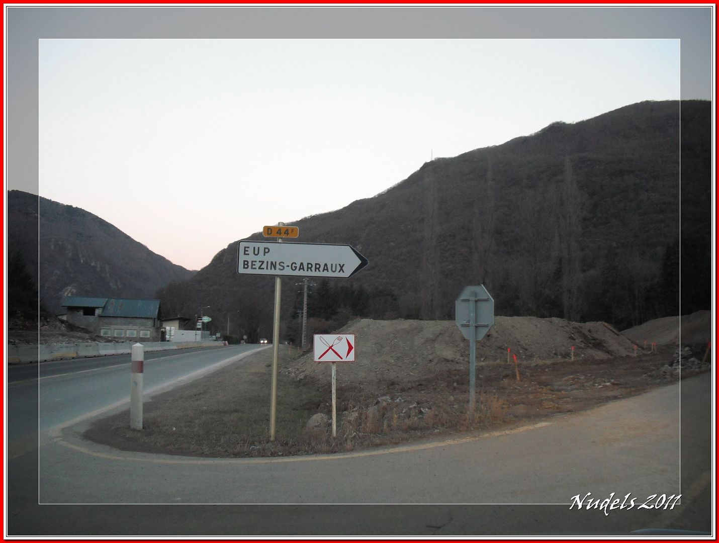
07h53: Una vez que he pasado Saint Beat me tomo un desvío hacia la derecha para llegar a Bezins.
07h53: Tengo enfrente imponente el Pic du Gar.
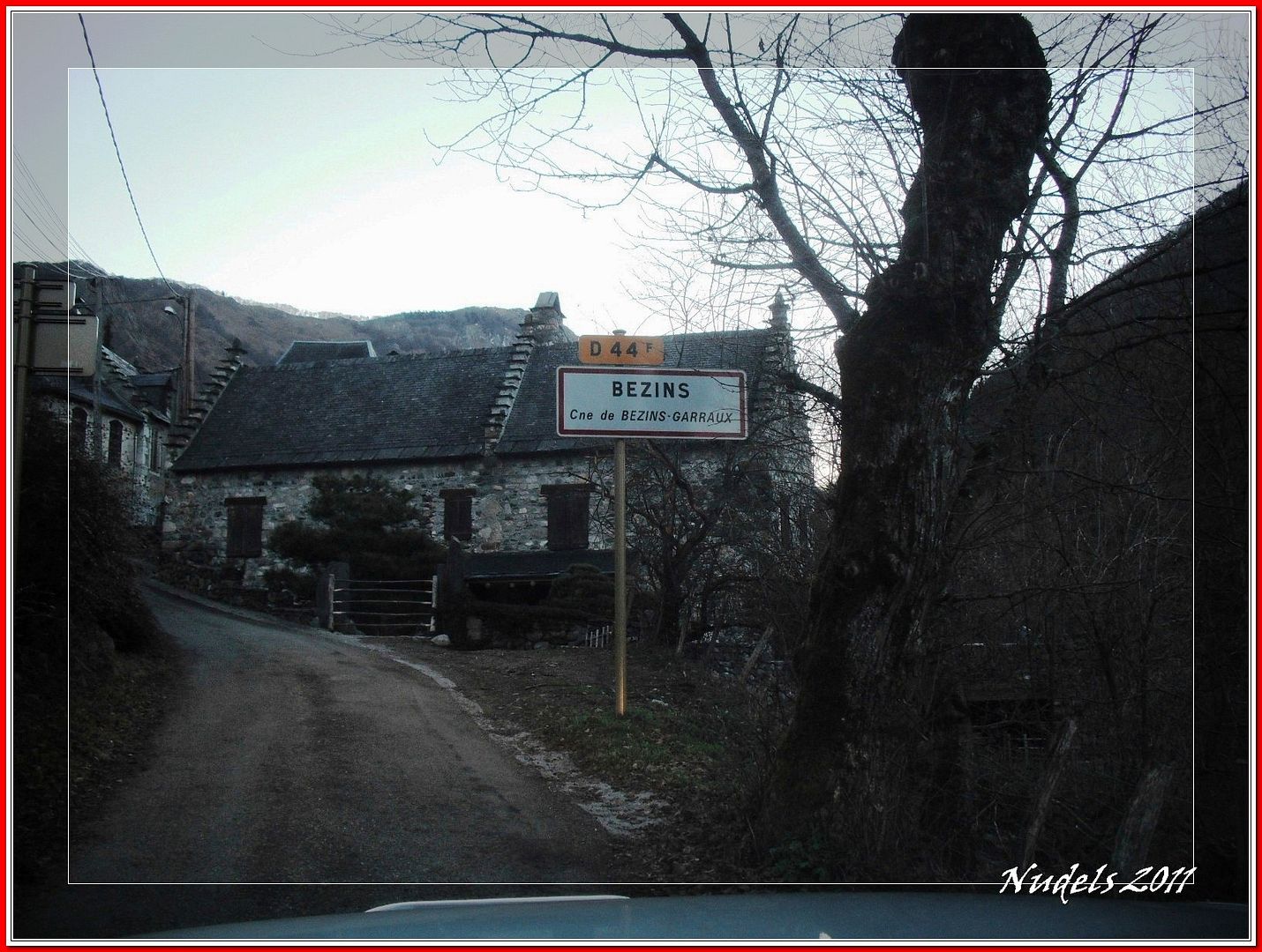
07h59: Por la carretera local llego a Bezins.
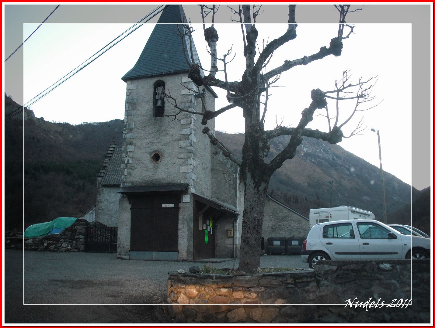
07h59: Busco una aparcamiento en la pequeña plaza de la iglesia, llamada Place de la République.
08h10: Llegan unos cazadores y cuelgan un letrero al inicio de la pista forestal, van a cazar, ufff, les digo Pic du Gar, ellos me dicen "no problema".
08h10: El itinerario.
08h11: Al fondo los cazadores, de nuevo me dicen "no problema".
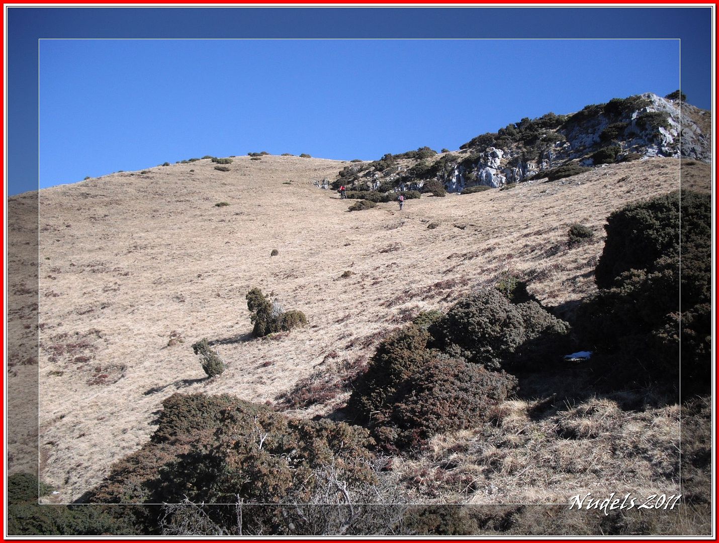
08h26: Aún queda lejos.
08h28: Dejo la pista forestal y tomo el desvío.
08h49: El valle y el pueblo de Ciep-Gaud.
08h54: Tengo que llegar al collado.
08h55: Un bonito hayedo.
08h55:
09h22:
09h30: Mirando hacia el Este.
09h33: Por fin el collado Teyech o Prac dessus (1.455 m.).
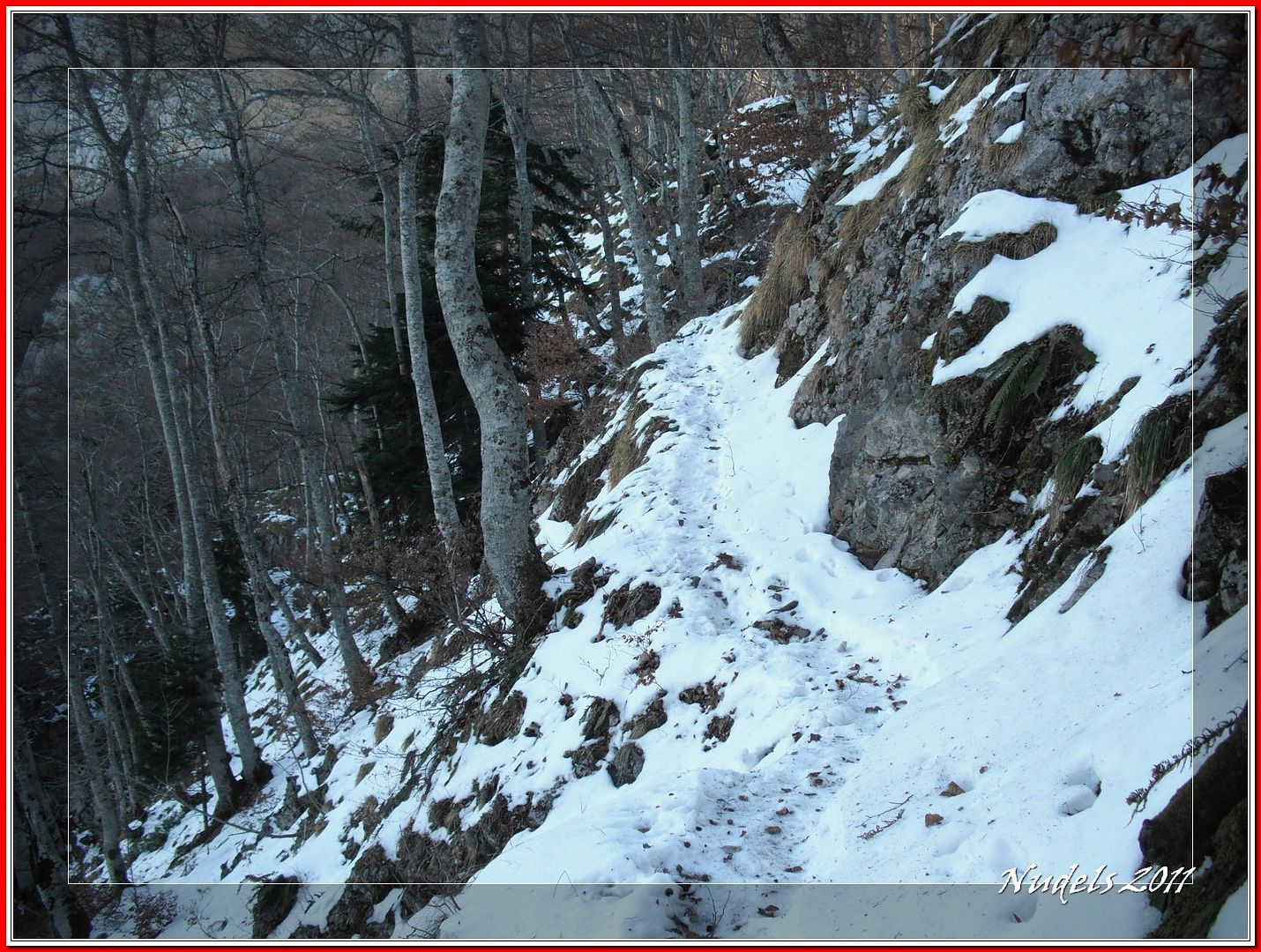
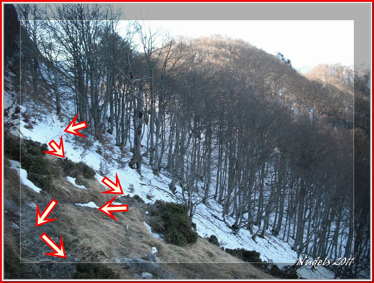
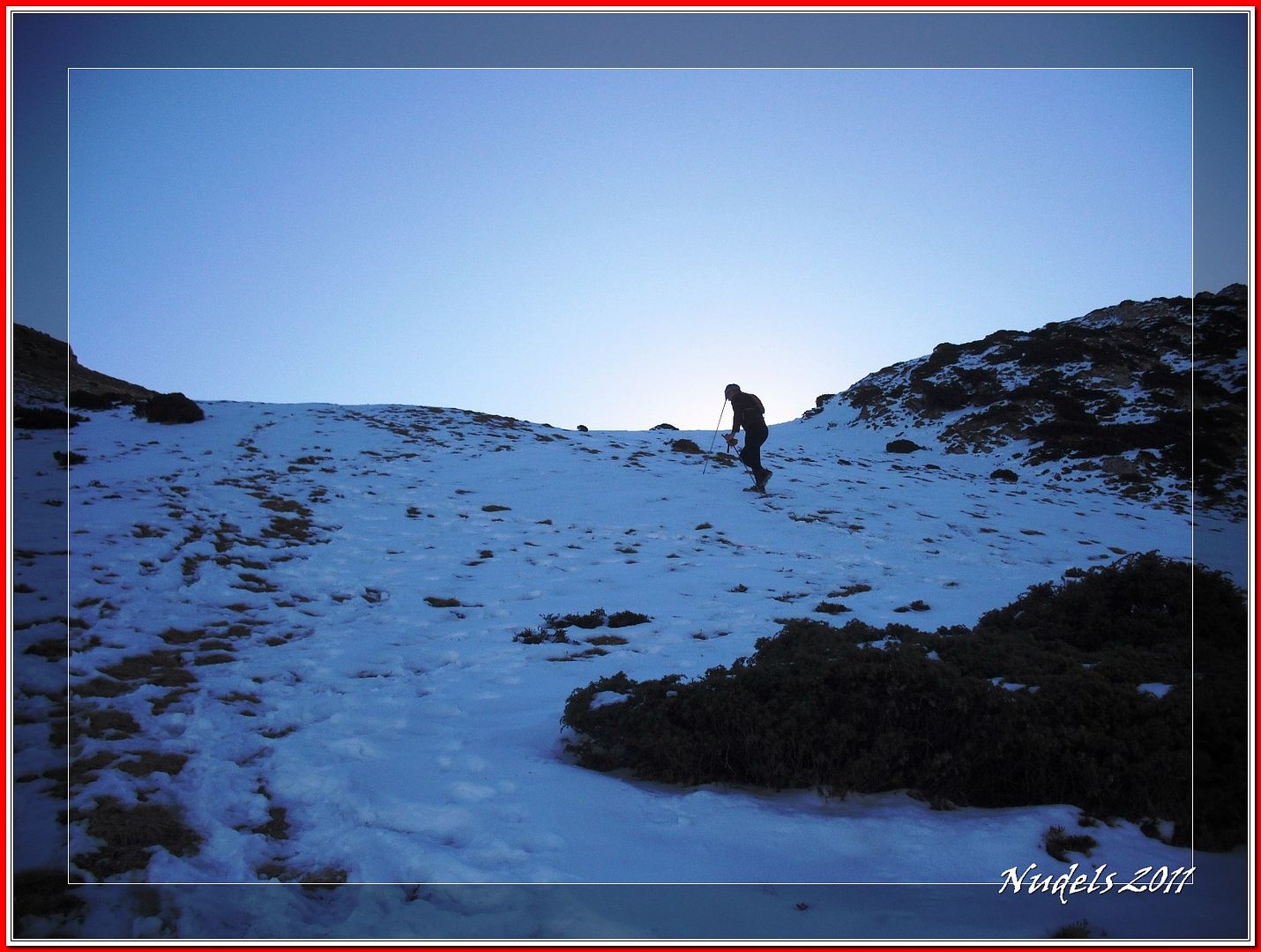
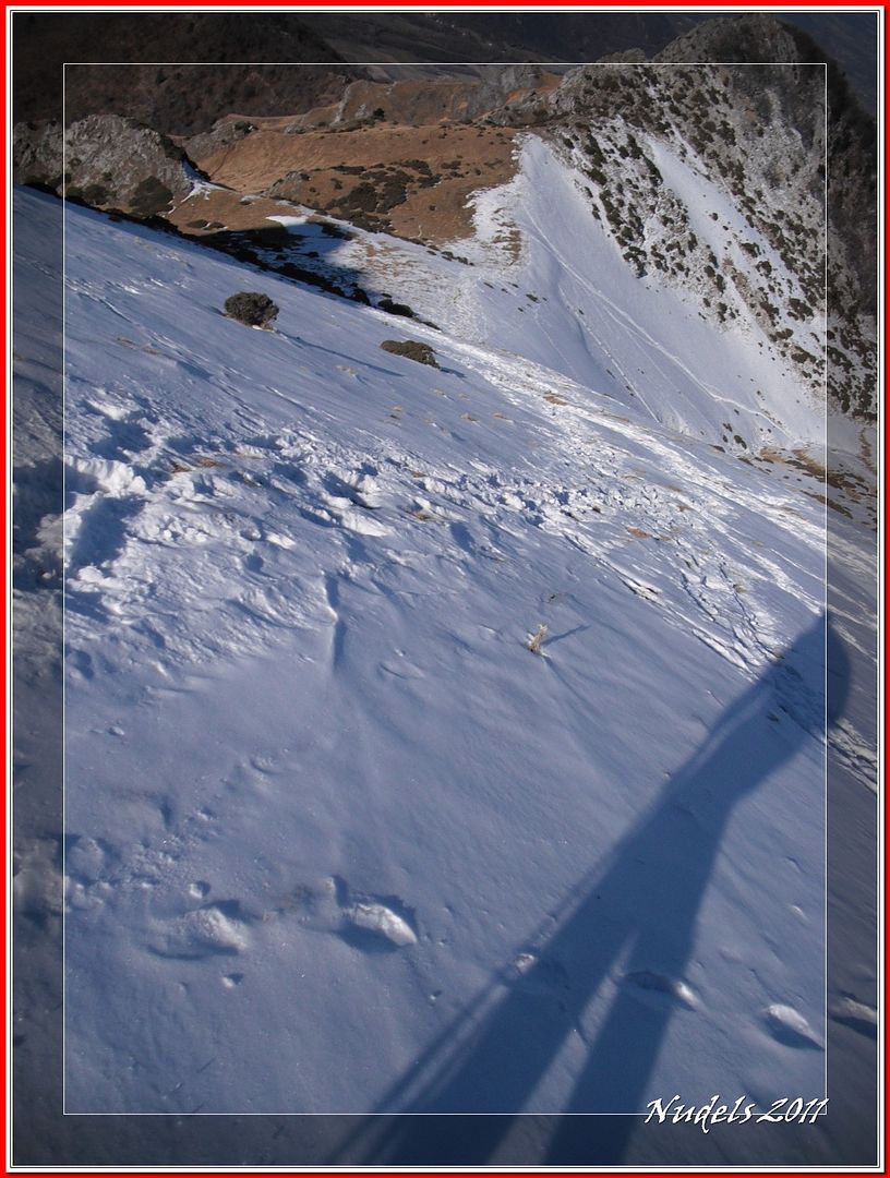
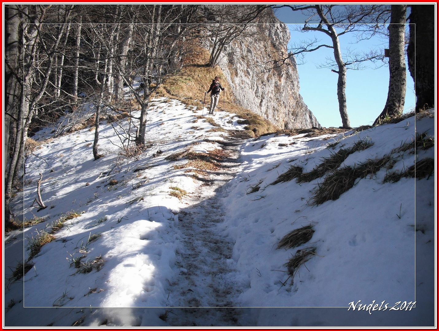
9h36: En la otra parte del collado hay un tramo con nieve y a esta hora la nieve está muy dura y resbaladiza.
9h40:
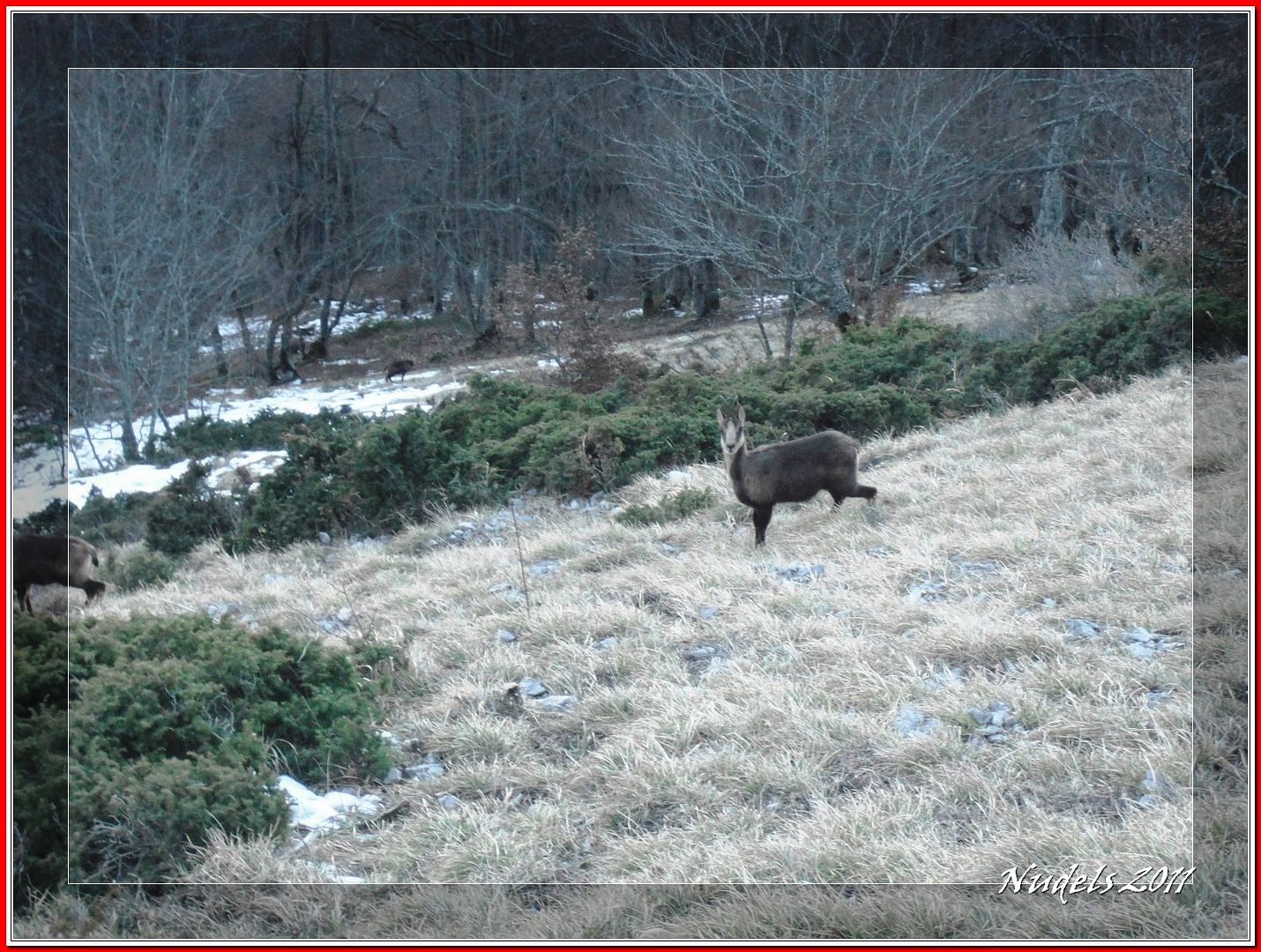
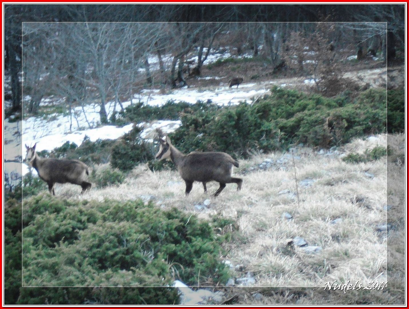
9h48: Y el ruido que hago al andar asusta a unos isards, sarrios o rebecos.
9h48: Unos se largan y otros se quedan...
9h48: ...para posar.
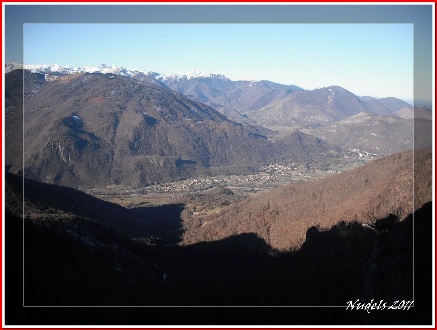
9h49: Una vista general.
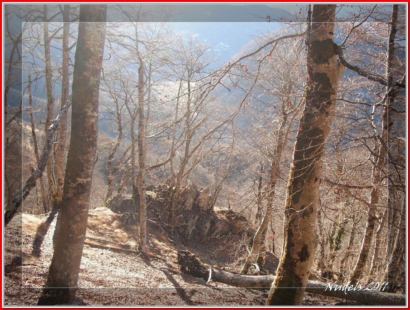
9h49: Salgo del bosque y hago una mirada atrás.
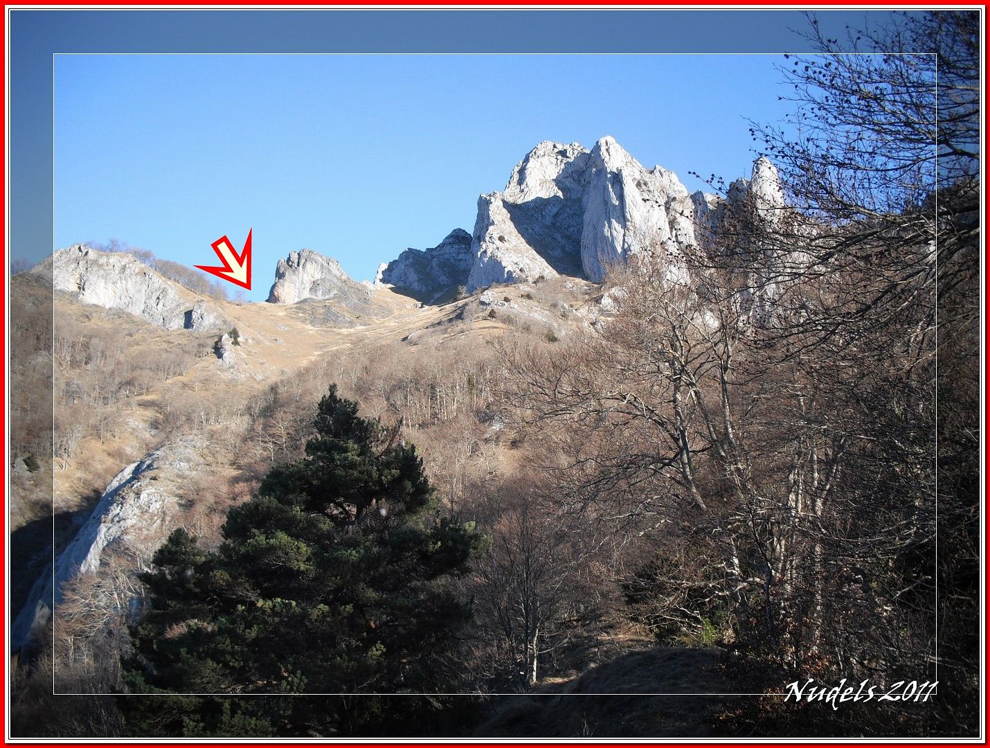
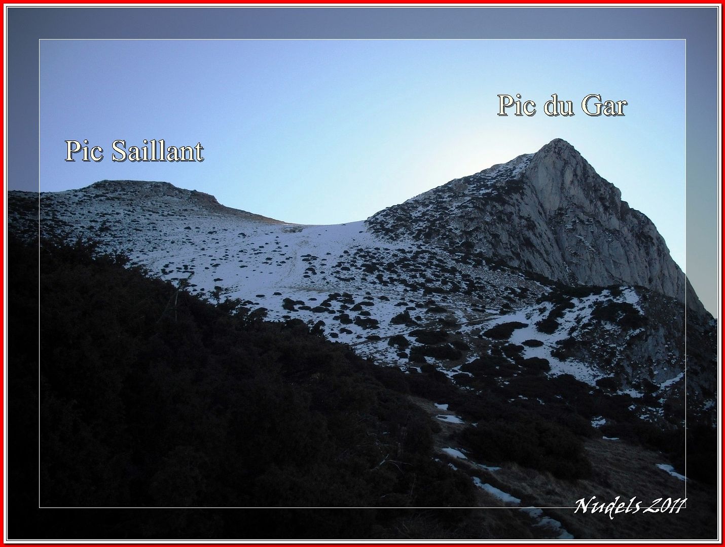
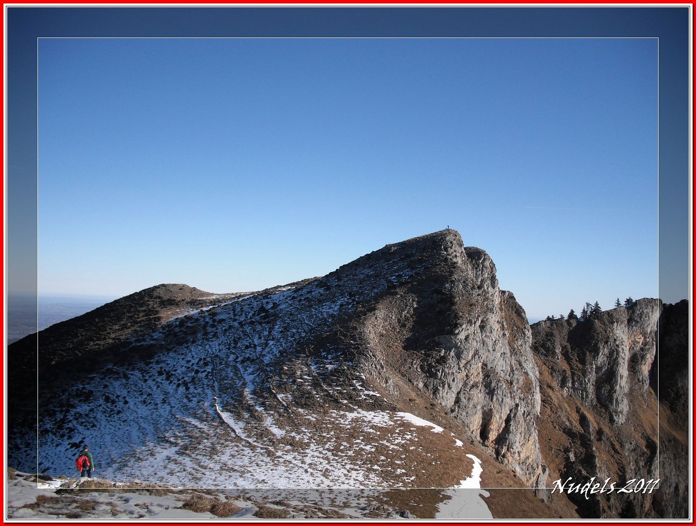
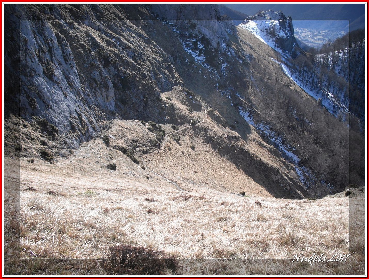
10h03: Después de superar otro tramo algo inclinado llego a otro collado desde donde diviso mis dos objetivos del día.
10h03: Ufff, casi lo tengo pero falta el casi.
10h10: De pronto en un visto y no visto me supera uno de esos tipos que no sabes si van corriendo o andando, eso sí lo que es resoplar, resoplaba un poco.
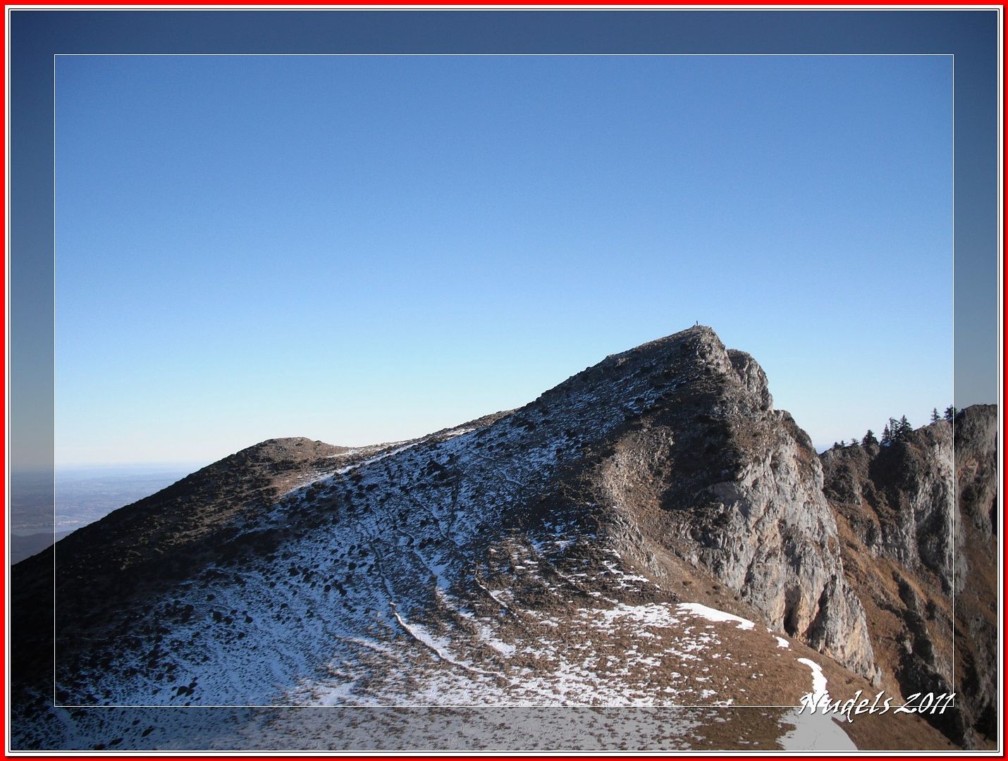
10h18: En el Pic du Gar hay otro montañero.
10h20: Detrás dejo el Pic Saillant con el que me adelantó en su cima.
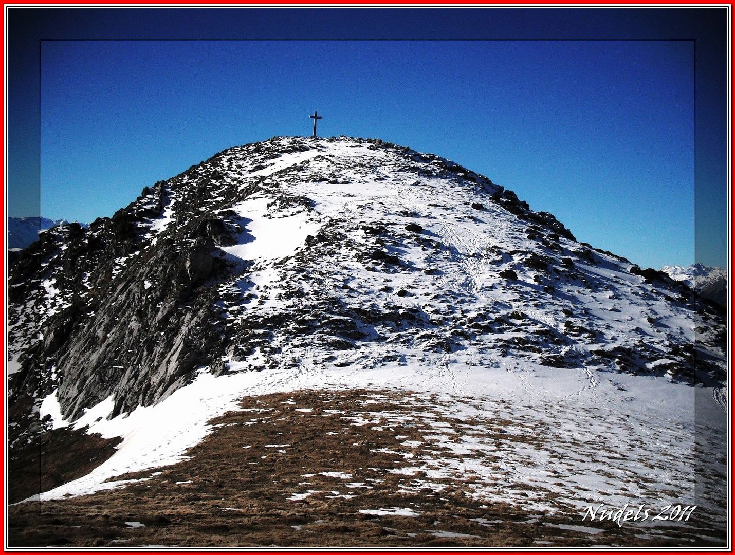
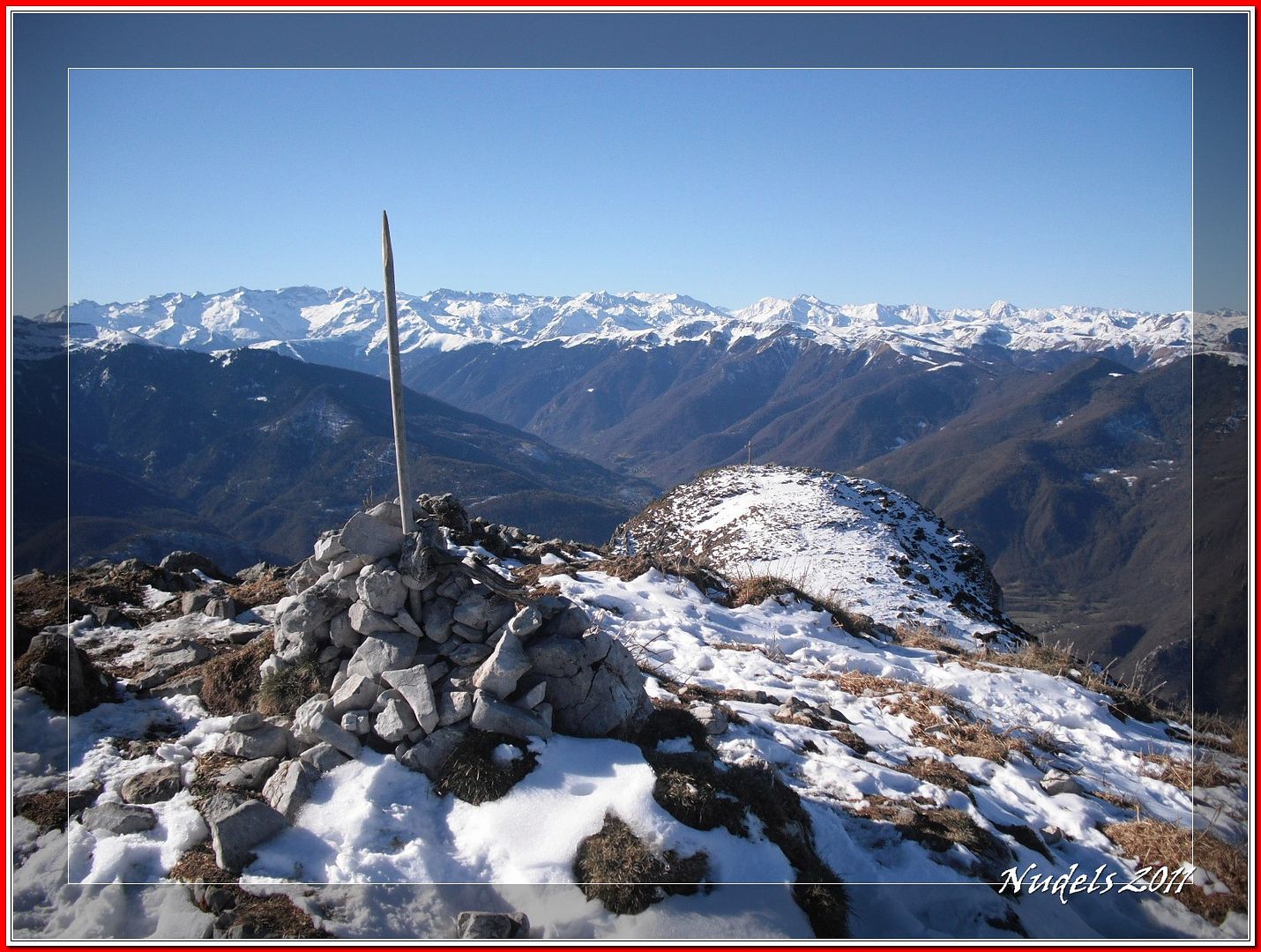
10h22: Pero ahora me ocupa otro menester porque estoy en lo más alto del Pic du Gar (1.756 m.).
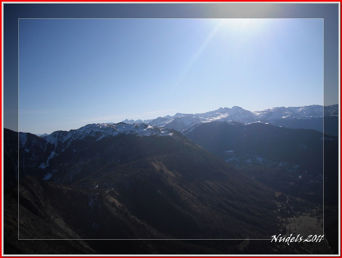
10h22: Vista por doquier.
10h23: El montañero que me hizo la fotografía se marcha y el otro es el puntito que se ve en la cima del Pic Saillant.
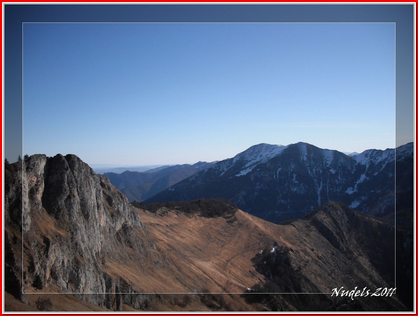
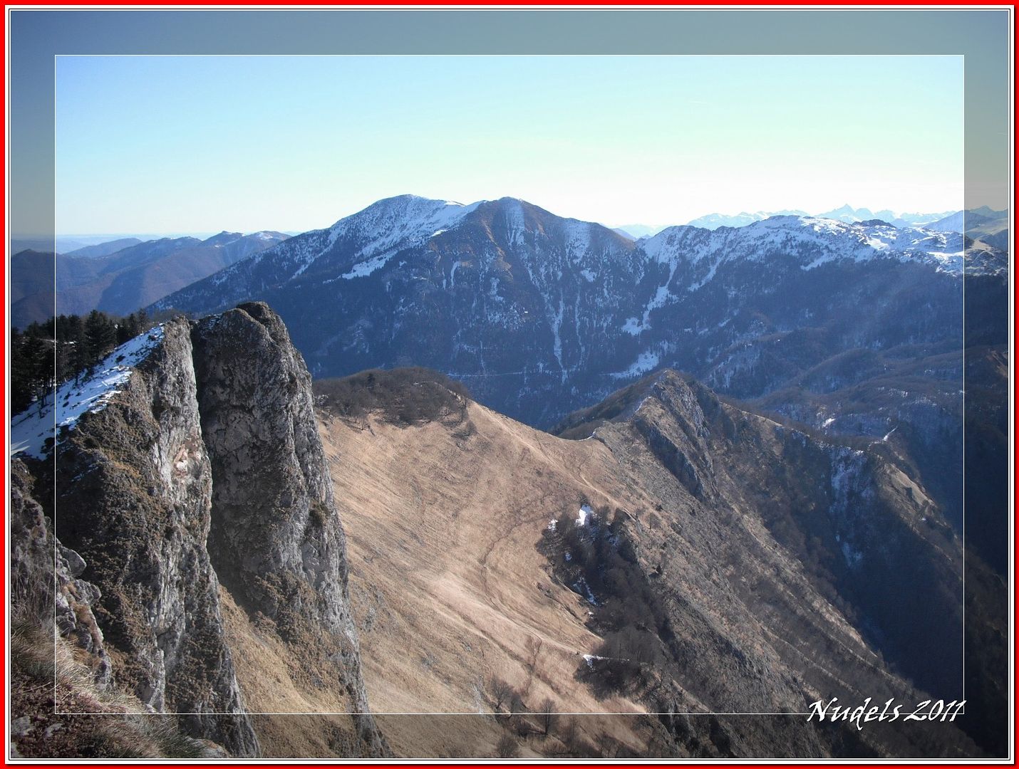
10h23: La cresta de Lou du Cagire Burat GR, al fondo el Pic de Cagire.
10h23:
10h23:
10h23: Los pueblos frances de Cierp-Gaud y Marignac.
10h34: Atrás dejo el Pic du Gar.
10h40: Y en pocos minutos conquisto...
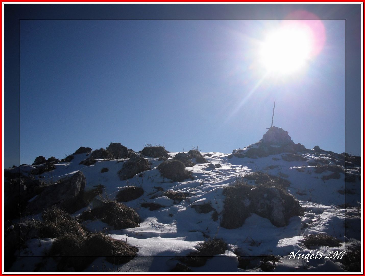
10h42: ...lo más alto del Pic Saillant (1.785 m.).
10h45: De nuevo la cresta que hoy no pisaré por falta de tiempo, tengo pensado regresar por donde vine.
10h45: Aunque por aquí igual se puede pero no estoy para aventuras.
10h46:
10h57: Dejo el Pic Saillant.
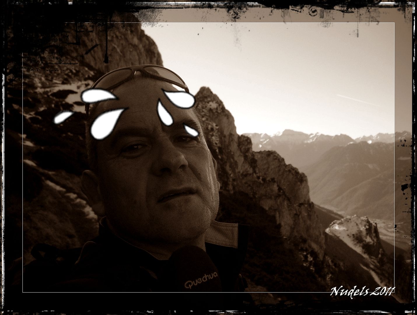
11h00: Como tengo que pisar algo de nieve pues es el momento del autorretrato.
11h07: Me espera un buen descenso...
11h16: ...primero hasta el collado.
11h18: Donde mis rodillas van a sufrir.
11h19: Vista atrás.
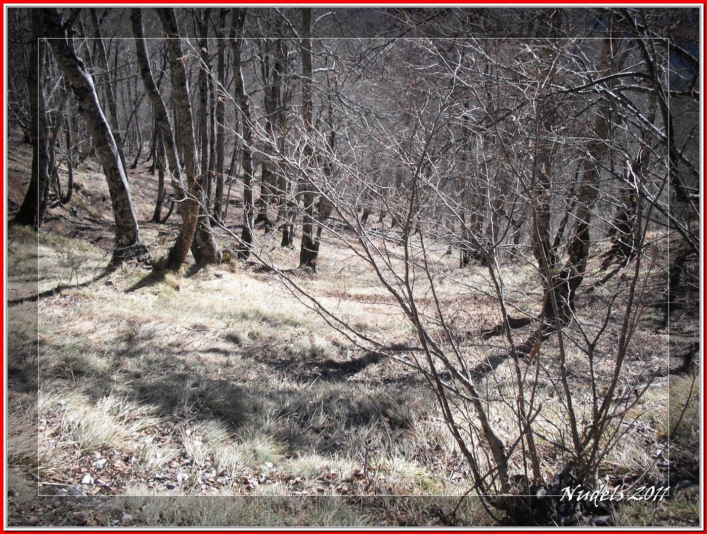
11h32: El tramo del bosque ahora tiene la nieve más blanda.
11h40: En el collado me topo con una bella montañera, la verdad es que me he cruzado con más de siete personas todas francesas, ¡¡¡bonjour, un jour tres joli y arrevoir!!!.
11h41: Ahora otro empinado descenso.
11h46:
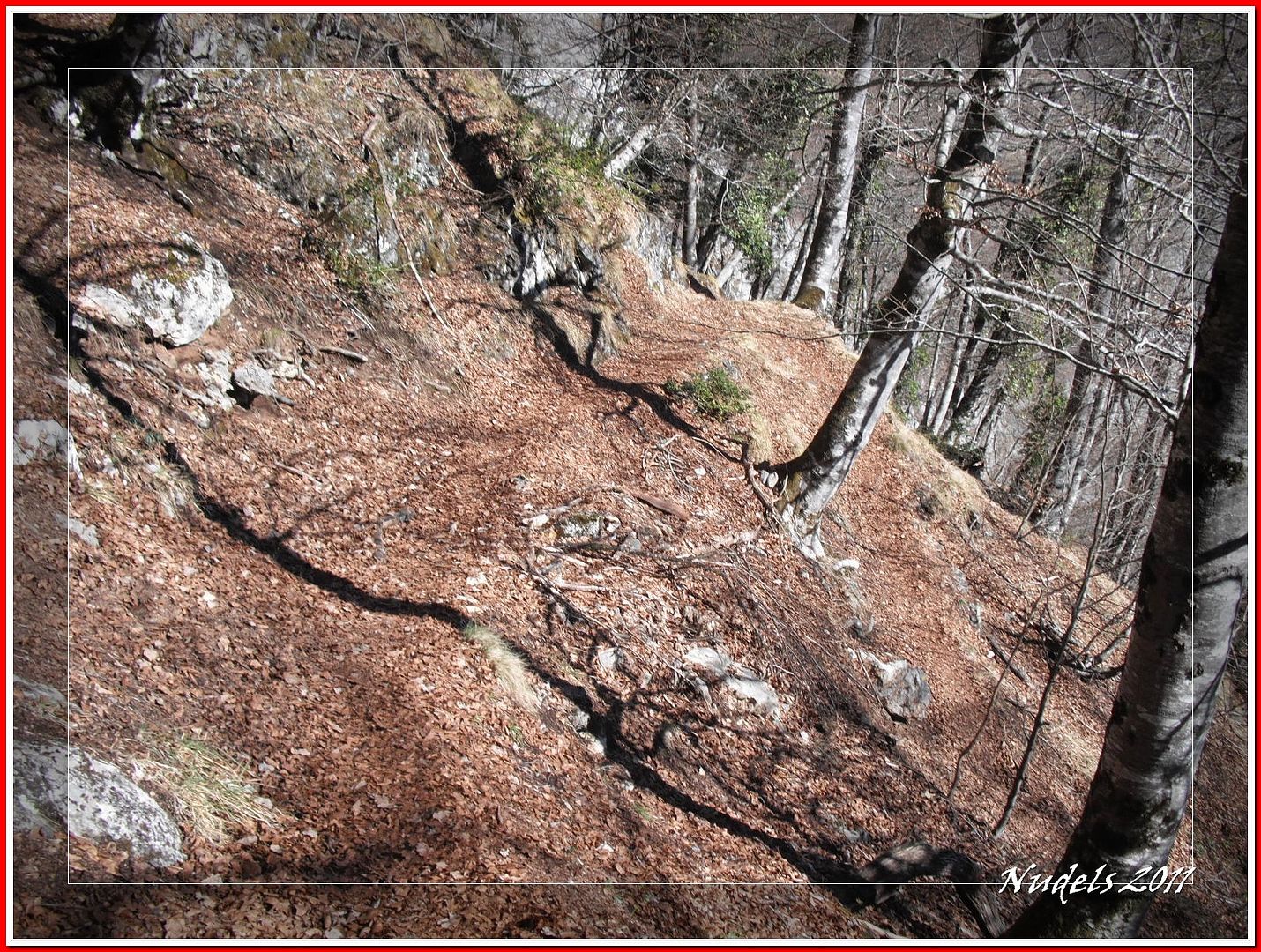
12h08: Un precioso sendero.
12h14: Y una mirada a la montaña.
12h25:
12h31: Llego a la pista forestal.
12h32: Esto está ya casi finiquitado, pero falta algo...
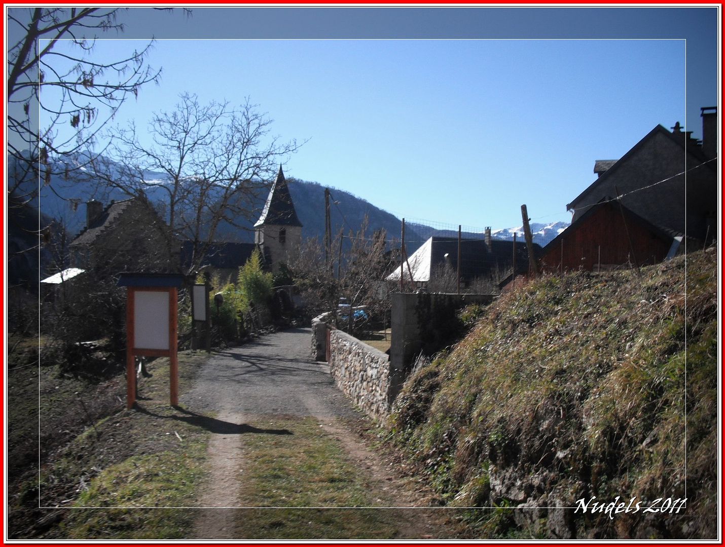
12h45: ...mi entrada triunfal en Bezins.
12h45: Cartel que informa sobre la ruta circular.
12h56: Al final quedan 17º en el parking no está nada mal, a este paso la nieve tiene los días contados.
13h03: Hasta la próxima...
Datos obtenidos de MapSource.
Datos obtenidos de wikiloc.


7 comentarios:
Siempre me ha llamado la atención ese macizo calizo al pasar por ahí.
Gracias por descubrirnoslo...
Me guardo el track.
Chao
Aupa Paco.
Felicidades por la excursión,vaya suerte que tienes,te cruzas con bellas montañeras mientras que yo,sólo me cruzo con la rubia.
Ha seguir así.
Un saludo.
Mattin:
Hombre para el track píllate el de la ruta circular, un poco más largo pero quizás mucho más bonito.
Por cierto esa roca tiene hasta vías de escalada.
Xabier:
Pues si la verdad es que fue una mañana completita.
Gracias a los dos por la visita.
Has dejado las tablas por un día, pero no está mal que también se pueden hacer buenos recorridos a pie.
A ver si vuelve un poco de nieve que si no como dices la que queda tiene los días contados...
Un saludo
Que mal tiene que estar la cosa para aparcar las tablas! estos paseos, aunque reconfortantes, son más aptos para épocas primaverales, en invierno hay que sacarle todo el jugo a ese escaso bien de color blanco.
Jajaja, la puntilla esta vez fue antes de la felicitación por esta bonita ruta.
Un saludo.
Luis:
Si la verdad es que me dió pereza subir con todo el equipo y como la mañana no daba para mucho me decedí x esta bonita montaña, de cota baja per dura con su 1.000 metros de desnivel.
Sherpa:
Cierto pero esa mañana también se corría la Martxa Beret (esquí nórdico) y por varios motivos me dió pereza pertrecharme con todo el equipo y me fuí en sentido contrario quizás buscando la primavera...
Estamos espectantes después de Peñalara y su Pared Negra de Claveles, lo que nos puede deparar el fugaz viaje en tierras comunitarias, Las Dolomitas, guayyy seguro montañero Sherpa que libraste una bonita batalla.
Gracias a los dos por la visita.
Hola visite tu blog http://paconudels-nudels.blogspot.com/ y me resulto muy agradable,muy lindos lugares los que visitas, me encantaría que intercambiáramos links con una red de blogs que administro y de esta manera ayudarnos mutuamente a difundir nuestras páginas.
espero tu gentil respuesta.
muchos saludos
Rocio del Pilar
rocioreyna10@gmail.com
Publicar un comentario